1970s Maps of the United States
Explore 20,435 historic maps of the United States from the 1970s. These maps offer a rare glimpse into what life looked like during the 1970s — showing old roads, neighborhoods, homes, and landmarks that have changed or disappeared over time.
Whether you're researching your family's past, planning a metal detecting trip, or studying how the United States's landscape evolved across the 1970s, these high-resolution maps are a powerful tool for exploring the history of this region.
- Focus on a specific era: All maps on this page are from the 1970s, giving you a focused view of this time period.
- See what’s changed: Compare century-old streets, trails, and buildings to today's modern landscape using overlays and satellite layers.
- Research with precision: Use these maps for genealogy, historical research, land use analysis, or educational projects.
- View, download, or print: Maps are fully viewable online in high resolution, and can be downloaded or printed for your own records.
Start exploring the United States's history through authentic maps from the 1970s. This is your window into the past.
United States maps
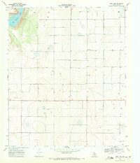
- 1970 Map of Vail Pass
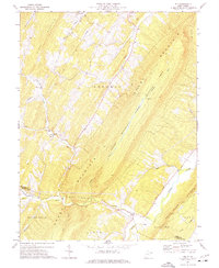
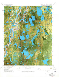
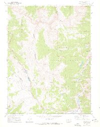 1970 Vail Pass1970 Print · USGSThe High Rockies at the dawn of the 1970s are defined here by the crossing of the Gore Range and Arapaho National Forest. Trace alpine travel routes like Vail Pass alongside old Mine sites and the settlement at Wheeler Junction.6 unique versions available
 - 1970 Map of Indian Bay
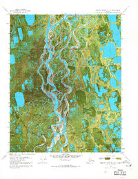
 1970 Indian Bay1970 Print · USGSThe White River bottomlands in the late sixties remain a maze of oxbow lakes and wetlands along the Monroe and Phillips county lines. Genealogists can trace family names at St John Cem or locate rural landmarks like Hill Chapel and the Indian Mound.2 unique versions available
 - 1970 Map of Marks
 1970 Marks1970 Print · USGSThe Mississippi Delta in the early 1970s reveals a landscape of tight-knit agricultural communities and winding waterways. Genealogists and historians can trace family roots through numerous sites like the Lula-Rich Academy, Posey Mound Cem, and Dickerson Chapel.
 - 1970 Map of Muldrow SW
 1970 Muldrow SW1970 Print · USGSLe Flore County in the late seventies is captured in this orthophoto survey, showcasing the winding Arkansas River and its rural borderlands. Researchers can trace land divisions near Tucker or follow the paths of Onion Creek and Cache Creek as they weave through the valley.
 - 1970 Map of Brownsville
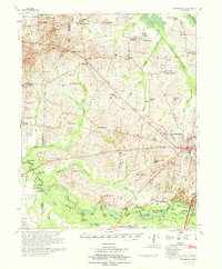 1970 Brownsville1970 Print · USGSHaywood County in the late sixties and early seventies is defined by its deep river bottomlands and scattered rural crossroads. Genealogists and researchers can trace family landmarks and vanished schools like Nutbush, Durhamville, and the Flag Grove Sch.
 - 1970 Map of Davis
 1970 Davis1970 Print · USGSCovers United States, including Davis, El Macero, and other nearby areas
 - 1970 Map of De Witt
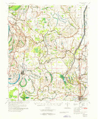
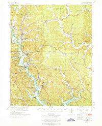
 1970 De Witt1970 Print · USGSThe Arkansas Delta comes to life in this survey of the De Witt area, where a complex network of flumes and bayous supports a thriving agricultural landscape. Trace the local heritage through family-named landmarks like Yoder Cem, Eldridge Corner, and Forks LaGrue Ch.
 - 1970 Map of Bells
 1970 Bells1970 Print · USGSWest Tennessee river bottoms and upland farms come alive in this 1970s survey of the Haywood and Crockett county border. Researchers can trace historic family burial sites at Magnolia Cem and Hess Cem or locate vanished local schools such as Bradford Sch.
 - 1970 Map of Pace
 1970 Pace1970 Print · USGSThe Mississippi Delta's rail-and-river landscape comes alive in this 1970s survey of Bolivar County. Researchers can trace family history through dozens of rural landmarks like Peters Rock Ch, the Gunnison Cem, and the tracks of the Illinois Central Railroad.
 - 1970 Map of Rio
 1970 Rio1970 Print · USGSHampshire County is shown in the early seventies, capturing the remote ridge-and-valley communities before modern development. Genealogists can trace family footprints at Hotts Chapel Cem, Mountaindale Sch, and the small settlement of Kirby.2 unique versions available
 - 1970 Map of Henrico
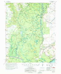 1970 Henrico1970 Print · USGSThe Arkansas Delta comes into focus during the late sixties, where the meandering White River meets the heavy timber of the White River National Wildlife Refuge. Genealogists and researchers can trace family-named sites like Nichols Cem, the community of Snow Lake, and 24 New Canaan Ch.
 - 1970 Map of Greenville
 1970 Greenville1970 Print · USGSThe St Francis River valley and Wappapello Lake shoreline are captured in the late sixties, showing the rural communities of Wayne County. Trace family roots at Old Greenville Cem and explore landmarks like White Hollow Sch and Logan Mountain.
 - 1970 Map of Burrel
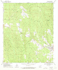
 1970 Burrel1970 Print · USGSAgricultural and industrial growth converge in Fresno County at the start of the seventies. Genealogists and historians can trace the irrigation networks of Murphy Slough and locate sites like Bender Union Sch or the Oil Field near Lanare.
 - 1970 Map of Beechey Point A-4 NE, 1971 Print
 1970 Beechey Point A-4 NE1971 Print · USGSAlaska's North Slope is captured here during the early years of oil exploration, showing a landscape defined by braided rivers and frozen tundra. Researchers can trace the Winter Trail and locate early survey markers like Placid Et Al State No. 1 near the Kuparuk River.2 unique versions available
 - 1970 Map of Fair Grove, 1971 Print
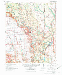
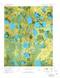
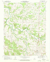 1970 Fair Grove1971 Print · USGSThe northern reaches of Greene County are captured here at the start of the 1970s, where the winding Pomme De Terre River meets the rural crossroads of Fair Grove. Researchers can trace the family names of the Ozarks through landmarks like Goodnight Knob and the Mallard Cemetery.2 unique versions available
 - 1970 Map of Beechey Point B-4 SE, 1971 Print
 1970 Beechey Point B-4 SE1971 Print · USGSThe Alaskan North Slope appears in the early days of oil exploration, showing a landscape of seasonal routes and remote pads. Researchers can trace the footprint of early industrial sites like Rivers Camp Service City and the Winter Trail.2 unique versions available
 - 1970 Map of Delight, 1971 Print
 1970 Delight1971 Print · USGSThe community of Delight and its surrounding timberlands are documented here just as the late twentieth century began. Genealogists and local historians can trace family roots through landmarks like Brocktown Cem, Saline Ch, and the rural settlement at Steltown.2 unique versions available
 - 1970 Map of New Lynn, 1971 Print
 1970 New Lynn1971 Print · USGSLynn County was a landscape of remote farmsteads and groundwater management in the early seventies. Trace the distribution of rural resource sites like Bartley, New Lynn, and the shores of Tahoka Lake as the region's agricultural infrastructure expanded.
 - 1970 Map of Ellerslie, 1971 Print
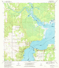
 1970 Ellerslie1971 Print · USGSThe Louisiana coast in the early 1970s reveals a landscape where industrial energy extraction meets the tide-washed wetlands of St. Mary Parish. Genealogists and historians can trace local life around Ellerslie and South Bend, or locate historic drill holes and pumping stations throughout the expansive Oil and Gas Field.4 unique versions available
 - 1970 Map of Draw, 1971 Print
 1970 Draw1971 Print · USGSThe High Plains of Lynn County are captured here in the early seventies, showcasing a landscape of isolated farmsteads and essential water sources. Genealogists can trace property lines and find the small communities of Draw and Pennington.
 - 1970 Map of Beechey Point A-3 NE, 1971 Print
 1970 Beechey Point A-3 NE1971 Print · USGSThe Arctic coast was undergoing a massive industrial transformation in the early seventies as energy exploration took hold. Researchers can trace the layout of early oil field infrastructure including Deadhorse, Halliburton Camp, and the Winter Trail.2 unique versions available
 - 1970 Map of Lillian, 1971 Print
 1970 Lillian1971 Print · USGSThe Alabama-Florida state line comes alive in the early seventies, showcasing a coastal landscape defined by naval aviation and deep-rooted heritage. Genealogists and historians can trace Lillian landmarks like St Josephs Ch and the Old Spanish Cem or locate the sprawling Bronson Field.4 unique versions available
 - 1970 Map of Point Au Fer NE, 1971 Print
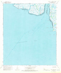 1970 Point Au Fer NE1971 Print · USGSThe Louisiana coast at the mouth of the Atchafalaya was a frontier of energy exploration and maritime transit during the early seventies. Researchers can trace the shifting parish lines and locate offshore infrastructure like Drill Holes near Shell Island and Plumb Island Point.3 unique versions available
 - 1970 Map of Beechey Point A-3 NW, 1971 Print
 1970 Beechey Point A-3 NW1971 Print · USGSThe Alaska North Slope at the dawn of the 1970s reveals a landscape transitioning toward industrial resource development. Trace early Arctic infrastructure and natural hydrology through sites like Put River State No 1 and the Winter Trail.2 unique versions available
 - 1970 Map of Jetmore SE, 1971 Print
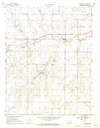 1970 Jetmore SE1971 Print · USGSWestern Kansas ranching and energy production intersect in the 1970s along the Buckner Creek valley. Researchers can trace the Atchison Topeka and Santa Fe rail line or locate specific historical sites like the Lippoldt Oil Field and Hodgeman County State Park.
Showing maps 1-25
Top regions of the United States
- California historical maps
- Texas historical maps
- Florida historical maps
- New York historical maps
- Pennsylvania historical maps
- Illinois historical maps
See more
Top cities of the United States
- New York historical maps
- Los Angeles historical maps
- Chicago historical maps
- Houston historical maps
- Phoenix historical maps
- Philadelphia historical maps
See more
Frequently asked questions
- What are the different types of historical maps available for United States?
- What is the oldest map of United States?
- Where can I purchase historical maps of United States for my home or office?
- Where can I download high-res historical maps of United States?
- Are there historical topographic maps available for United States?
- Is there historical aerial imagery available for United States?
- Where are historical maps of United States sourced from?