1940s Maps of the United States
Explore 15,666 historic maps of the United States from the 1940s. These maps offer a rare glimpse into what life looked like during the 1940s — showing old roads, neighborhoods, homes, and landmarks that have changed or disappeared over time.
Whether you're researching your family's past, planning a metal detecting trip, or studying how the United States's landscape evolved across the 1940s, these high-resolution maps are a powerful tool for exploring the history of this region.
- Focus on a specific era: All maps on this page are from the 1940s, giving you a focused view of this time period.
- See what’s changed: Compare century-old streets, trails, and buildings to today's modern landscape using overlays and satellite layers.
- Research with precision: Use these maps for genealogy, historical research, land use analysis, or educational projects.
- View, download, or print: Maps are fully viewable online in high resolution, and can be downloaded or printed for your own records.
Start exploring the United States's history through authentic maps from the 1940s. This is your window into the past.
United States maps
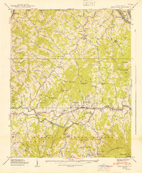
- 1940 Map of Gainesville
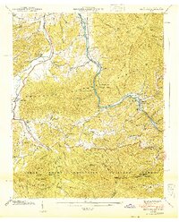
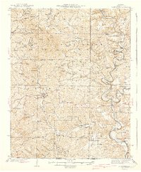 1940 Gainesville1940 Print · USGSOzark County at the end of the 1930s reveals a landscape of isolated river fords and high-ridge settlements. Genealogists and historians can trace family locations near landmarks like Gainesville, Price Cem, and White Ferry.2 unique versions available
 - 1940 Map of Brownsville
 1940 Brownsville1940 Print · USGSThe Monongahela and Youghiogheny river valleys were the industrial heart of Pennsylvania during this era of coal and steel. Genealogists and historians can trace the exact locations of Vesta Mine, Salem Church, and historic rural schools like Central Sch.
 - 1940 Map of Rowland
 1940 Rowland1940 Print · USGSRemote ranching and high-desert terrain define this borderland region during the mid-1930s. Genealogists and researchers can trace family-named sites such as Budde Rizzi Ranch, the McKnight Cabin, and the community of Rowland.2 unique versions available
 - 1940 Map of Stony Point
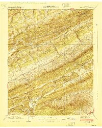
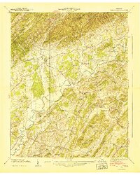
 1940 Stony Point1940 Print · USGSHawkins County is captured here just before the mid-century, where the winding Holston River meets a landscape of steep mountain ridges and fertile valley bottoms. Genealogists and local historians can locate Surgoinsville, trace the old Southern Railroad, and find rural landmarks like Mowls Mill and Maxwell Academy.
 - 1940 Map of Thunder Mtn.
 1940 Thunder Mtn.1940 Print · USGSMarinette County and the surrounding woods are captured here in the early 1940s as a hub of timber production and forestry management. Genealogists and historians can trace rural schools like Silver Cliff Sch, the site of the State Fish Hatchery, and fire lookouts atop Thunder Mountain.2 unique versions available
 - 1940 Map of Burnsville
 1940 Burnsville1940 Print · USGSYancey County in the late Depression era shows a landscape of tightly knit mountain communities and early state infrastructure. Researchers can locate family landmarks like the Clearmont Cem, the State Prison Camp, and the remote Day Book post office.2 unique versions available
 - 1940 Map of Loudon
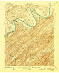
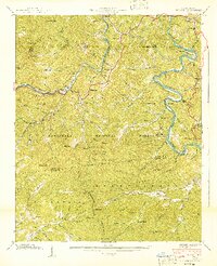
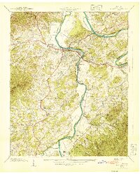
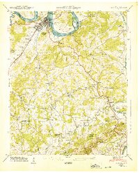 1940 Loudon1940 Print · USGSTennessee river life and rural industry meet in the early 1940s as the river valley begins to transform. Genealogists and historians can trace family landmarks like Eve-Mills, Huff Ferry, and the Maple Spring Wadkins Cem.
 - 1940 Map of Talbott
 1940 Talbott1940 Print · USGSIn the Tennessee Valley just before the 1940s, this area shows a landscape shaped by the Holston River and the Southern railroad. Genealogists can locate family-named landmarks like Kidwell Ridge Ch, Lawrence Mill, and the Sunderland Cem.
 - 1940 Map of Wachusett Mtn
 1940 Wachusett Mtn1940 Print · USGSCentral Massachusetts hill country and valley settlements are captured here just before the 1940s. Genealogists and historians can trace the Boston and Maine Railroad lines and locate the State Sanatorium or Rural Glen Cem.2 unique versions available
 - 1940 Map of Tarkio
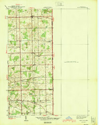
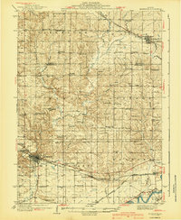
 1940 Tarkio1940 Print · USGSAtchison County at the end of the Depression was a landscape of river-bottom farms and rural school districts. Genealogists can locate family-named landmarks and country parishes like English Grove Ch, Tarkio College, and Prairie Hill Cem.
 - 1940 Map of McMinnville
 1940 McMinnville1940 Print · USGSWillamette Valley life centered on river and rail transit in the 1940s, from the streets of McMinnville to the fertile bottomlands. Local historians can trace early school sites like Grub College and river crossings such as the Wheatland Ferry.3 unique versions available
 - 1940 Map of Barco
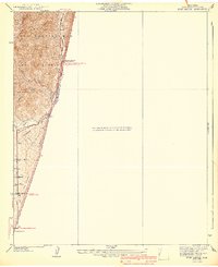
 1940 Barco1940 Print · USGSThe Currituck Banks and mainland North Carolina appear here during the early 1940s, highlighting a landscape of remote maritime villages and essential coastal navigation. Researchers can trace the Inland Waterway past Coinjock or locate early landmarks like the Currituck Beach Lighthouse and Poyner Hill C. G. Sta.2 unique versions available
 - 1940 Map of Lee Valley
 1940 Lee Valley1940 Print · USGSHawkins and Hancock Counties appear here at the start of the 1940s, showing a landscape defined by the ridgelines of Clinch Mountain. Local historians can trace old homesteads and community hubs like Lee Valley, Fairmont Sch, and the Morrell Cem.
 - 1940 Map of Trail Canyon
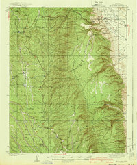
 1940 Trail Canyon1940 Print · USGSThe high San Gabriel peaks and canyons are captured here in the mid-1930s, showing the early infrastructure of the Angeles National Forest. Researchers can trace old utility routes like the transmission line and local landmarks like Yerba Buena Spring and Condor Peak.4 unique versions available
 - 1940 Map of Wesser
 1940 Wesser1940 Print · USGSThe Nantahala Gorge and the winding Little Tennessee River define this high-country landscape as it appeared in the early 1940s. Genealogists can trace family footprints at Watia Ch, Tabor Cem, and mountain schools like Hightower Sch.2 unique versions available
 - 1940 Map of Metz
 1940 Metz1940 Print · USGSThe Indiana-Ohio borderlands come into focus in the years before the war, showing a landscape of drainage ditches and family-named bridge crossings. Genealogists can trace rural life through landmarks like Metz Cem, Bethel Ch, and the small settlement of Alvarado.2 unique versions available
 - 1940 Map of Hartford
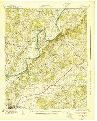
 1940 Hartford1940 Print · USGSThe Pigeon River valley comes to life in this 1940s survey of the Tennessee and North Carolina border. Genealogists can locate family names at Shultz Cem and Mcmillan Cem or trace the original route of the Appalachian Trail.6 unique versions available
 - 1940 Map of Baileyton
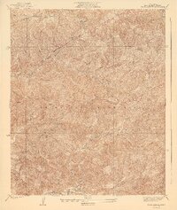
 1940 Baileyton1940 Print · USGSGreene County agriculture and mountain life are captured here just before the mid-century, showing the tightly-knit network of mills and valley schools. Researchers can trace family sites near Lick Creek Mill, Wesley Chapel, and Brittontown Sch.
 - 1940 Map of Valyermo
 1940 Valyermo1940 Print · USGSThe northern slopes of the San Gabriel Mountains meet the Antelope Valley in the late 1930s. Genealogists and historians can trace old homesteads and local infrastructure like the Aldrich Ranch, the Llano P O, and the Valyermo Ranger Sta.4 unique versions available
 - 1940 Map of Morrison
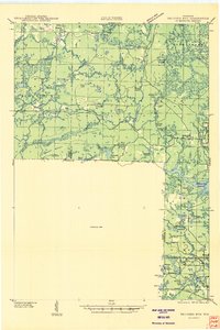
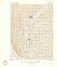
 1940 Morrison1940 Print · USGSWhiteside and Carroll counties thrive as a robust agricultural landscape during the late 1930s, defined by the twin engines of the Rock River and major rail lines. Genealogists can locate dozens of country schools like Ideal Sch and old cemeteries including Clyde Cem and Bethel Cem.2 unique versions available
 - 1940 Map of Newport
 1940 Newport1940 Print · USGSNewport and its surrounding river valleys come alive in this pre-war survey of Cocke County. Researchers can trace historic family names and community centers through sites like Rosenwald Sch, Union Cem, and the industrial activity near Tannery Island.2 unique versions available
 - 1940 Map of Danforth
 1940 Danforth1940 Print · USGSUpper Washington and Aroostook counties come into focus just before the war, showing the vital rail junction at Danforth. Family historians can locate rural landmarks like Irish Settlement, the Trout Creek Cem, and schools such as Bonner Sch or Butterfield Sch.
 - 1940 Map of Jacob Lake
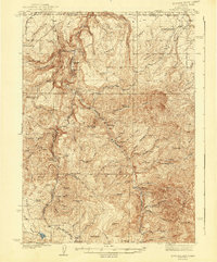
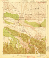
 1940 Jacob Lake1940 Print · USGSThe high plateau of the Arizona Strip is captured here in the mid-1930s, showing the early forest service and ranching footprint. You can trace the historic Kane Trail, locate the Jacob Lake Ranger Sta, and identify remote watering spots like Kane Springs.2 unique versions available
 - 1940 Map of Evey Canyon
 1940 Evey Canyon1940 Print · USGSThe foothills of the San Gabriel Mts meet the growing community of Claremont in this 1940s-era survey. Genealogists and local historians can trace the early road network of the valley and find mountain landmarks like the Norton Sch and Lower San Antonio Guard Station.3 unique versions available
 - 1940 Map of Ida
 1940 Ida1940 Print · USGSMonroe County farmland and the village of Ida are captured here just before the war, when the New York Central railroad still fueled local transit. Researchers can trace rural school districts like King Sch and find family sites near Immanuel Cem.2 unique versions available
Showing maps 1-25
Top regions of the United States
- California historical maps
- Texas historical maps
- Florida historical maps
- New York historical maps
- Pennsylvania historical maps
- Illinois historical maps
See more
Top cities of the United States
- New York historical maps
- Los Angeles historical maps
- Chicago historical maps
- Houston historical maps
- Phoenix historical maps
- Philadelphia historical maps
See more
Frequently asked questions
- What are the different types of historical maps available for United States?
- What is the oldest map of United States?
- Where can I purchase historical maps of United States for my home or office?
- Where can I download high-res historical maps of United States?
- Are there historical topographic maps available for United States?
- Is there historical aerial imagery available for United States?
- Where are historical maps of United States sourced from?