2000s (21st Century) Maps of Pinal County, Arizona
Explore 449 historic maps of Pinal County from the 2000s (21st Century). These maps offer a rare glimpse into what life looked like during the 2000s — showing old roads, neighborhoods, homes, and landmarks that have changed or disappeared over time.
Whether you're researching your family's past, planning a metal detecting trip, or studying how Pinal County's landscape evolved across the 2000s, these high-resolution maps are a powerful tool for exploring the history of this region.
- Focus on a specific era: All maps on this page are from the 2000s, giving you a focused view of this time period.
- See what’s changed: Compare century-old streets, trails, and buildings to today's modern landscape using overlays and satellite layers.
- Research with precision: Use these maps for genealogy, historical research, land use analysis, or educational projects.
- View, download, or print: Maps are fully viewable online in high resolution, and can be downloaded or printed for your own records.
Start exploring Pinal County's history through authentic maps from the 2000s. This is your window into the past.
Pinal County, AZ maps
(449)- 2004 Map of Iron Mountain, 2007 Print
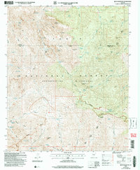 2004 Iron Mountain2007 Print · USGSThe Superstition Wilderness comes into sharp focus during the early 2000s, showing a rugged interior known for its ranching and mining heritage. Trace the historic Reavis Trail past remote outposts like J F Headquarters and the Silver Spur Cabin.
 - 2004 Map of Teapot Mountain, 2007 Print
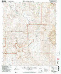 2004 Teapot Mountain2007 Print · USGSPinal County's high desert mining country is captured in the early 2000s, where industrial operations border protected wilderness. Researchers can trace the massive Ray Open Pit Mine and the Arizona Trail near the peaks of Teapot Mountain.
 - 2004 Map of Haunted Canyon, 2007 Print
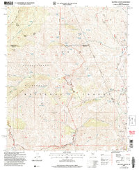 2004 Haunted Canyon2007 Print · USGSThe eastern Superstitions at the turn of the millennium remain a land of remote ranching and rugged canyons. Genealogists and historians can trace the footprints of Miles Ranch and Tony Ranch or locate old water sources like Fifty Dollar Spring.
 - 2004 Map of Weavers Needle, 2007 Print
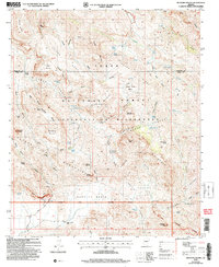 2004 Weavers Needle2007 Print · USGSThe Superstition Wilderness area is shown here in the early 2000s, detailing a high-desert landscape of peaks and springs. Researchers can locate remote landmarks like the Quarter Circle U Ranch or trace the geography of Weavers Needle and Miners Needle.
 - 2004 Map of Florence Junction, 2007 Print
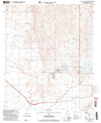 2004 Florence Junction2007 Print · USGSThe Pinal County desert comes into focus in the early 2000s, showing the intersection of ranching history and modern residential growth. Genealogists and historians can trace Queen Valley and the San Mateo Castro Ranch or follow the route of El Camino Viejo.
 - 2004 Map of Picketpost Mountain, 2007 Print
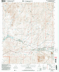 2004 Picketpost Mountain2007 Print · USGSThe Picketpost Mountain region in the early 2000s reveals a rugged Arizona landscape of mining history and early conservation efforts. Trace the early settlement of Old Pinal Townsite, locate the legendary Boyce Thompson Arboretum, and find remote camps like Barnett Camp.
 - 2004 Map of Mineral Mountain, 2007 Print
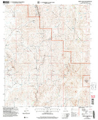 2004 Mineral Mountain2007 Print · USGSPinal County's rugged mining landscape is captured here in the early 2000s, showing the intersection of industrial history and desert wilderness. Researchers can trace the layout of the Reymert settlement or locate historic shafts like the Silver Bell Mine and Sunset Mine.
 - 2004 Map of Superior, 2007 Print
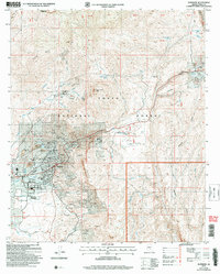 2004 Superior2007 Print · USGSSuperior and the surrounding Pinal County foothills appear at a peak of industrial activity in the early 2000s. Researchers can trace the footprint of major operations like the Magma No 9 Mine and Belmont Mine alongside local landmarks like Peachville and the J I Ranch.
 - 2004 Map of Goldfield, 2007 Print
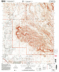 2004 Goldfield2007 Print · USGSArizona's mining and frontier history comes alive in this survey of the northern Superstitions at the start of the millennium. Researchers can locate numerous historic workings like the Goldfield Mine and Black Queen Mine or trace the geography of the Massacre Grounds.
 - 2004 Map of Pinal Ranch, 2007 Print
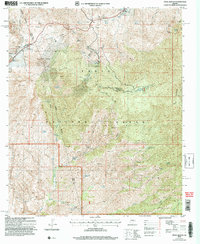 2004 Pinal Ranch2007 Print · USGSGila and Pinal counties meet in this rugged section of the Southwest during the early 2000s, where mining and ranching legacies endure. Genealogists and historians can trace family land at Clark Ranch or explore the industrial footprint of the Gibson Mine Prospects.
 - 2004 Map of Apache Junction, 2007 Print
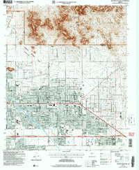 2004 Apache Junction2007 Print · USGSApache Junction sits at the desert edge in the early 2000s, where suburban expansion meets the forest boundary. Trace local growth through schools and museums like Superstition Mtn School and the Superstition Mountain Museum.
 - 2004 Map of Inspiration, 2007 Print
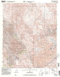 2004 Inspiration2007 Print · USGSThe copper-rich mountains of Gila County were at their industrial peak during this mid-2000s survey of the Globe-Miami district. Researchers can locate specialized mining infrastructure like the Castle Dome Concentrator alongside legacy sites such as Bobine Ranch and Dixon Camp.
 - 2011 Map of Ninetysix Hills SW, 2011 Print
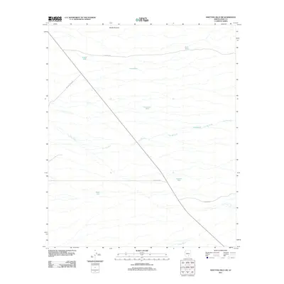 2011 Ninetysix Hills SW2011 Print · USGSPinal County ranch lands are documented here in the early twenty-first century, showing the intersection of desert washes and cattle infrastructure. Researchers can trace the paths of Tom Mix Wash and Bogard Wash alongside ranching landmarks like Double Tank and Middle Mountain.
 - 2011 Map of Coolidge, 2011 Print
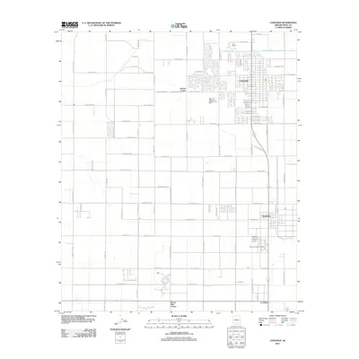 2011 Coolidge2011 Print · USGSCoolidge and its neighboring settlements are captured here during a period of sustained growth in the Arizona desert. Genealogists and historians can trace local development through named intersections like Borree Corner and communities such as Randolph and La Palma.
 - 2011 Map of Laveen, 2011 Print
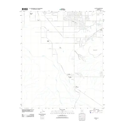 2011 Laveen2011 Print · USGSThe Laveen area southwest of Phoenix shows a mix of suburban growth and tribal community lands during the early twenty-first century. Genealogists and historians can trace local roots at Maricopa Cemetery and Saint Johns Mission along the Gila River.
 - 2011 Map of Montezuma Peak, 2011 Print
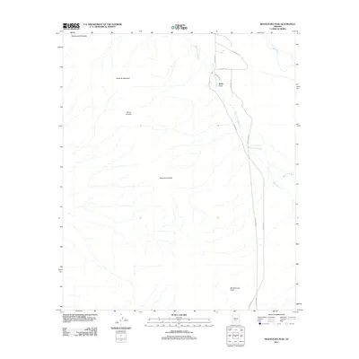 2011 Montezuma Peak2011 Print · USGSThe high peaks of the Sierra Estrella and the desert floor of Maricopa County are captured here in the early twenty-first century. Researchers can trace the drainage of the Santa Cruz Wash or locate the community of Santa Cruz near Cemetery Rd.
 - 2011 Map of Maricopa, 2011 Print
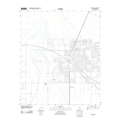 2011 Maricopa2011 Print · USGSMaricopa and the Ak-Chin Indian Community show rapid suburban expansion and desert planning in the early twenty-first century. Researchers can trace modern residential growth near Maricopa or identify landmarks like Hine Airstrip and Ak-Chin Village.
 - 2011 Map of Picacho Reservoir, 2011 Print
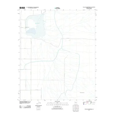 2011 Picacho Reservoir2011 Print · USGSCentral Arizona's desert landscape is defined here by large-scale water management and irrigation just after the turn of the millennium. Trace the shoreline of Picacho Reservoir and locate landmarks like the Picacho Reservoir Dam and the southern Picacho Mountains.
 - 2011 Map of Picacho Pass, 2011 Print
 2011 Picacho Pass2011 Print · USGSPinal County's desert landscape is defined here by its complex drainage systems and isolated ranching infrastructure in the early twenty-first century. Trace the paths of McClellan Wash or locate local landmarks like Picacho Pass and the Bud Antle Ranch Airstrip.
 - 2011 Map of Arizona City, 2011 Print
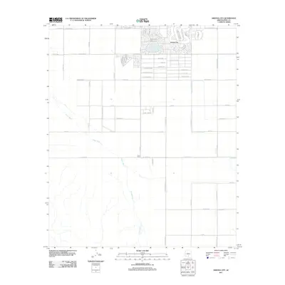 2011 Arizona City2011 Print · USGSArizona City and its desert surroundings are captured here just after the first decade of the millennium. Local researchers can trace the growth of the residential core and follow the course of Greene Wash past Curry Camp and across the long reaches of S Sunland Gin Rd.
 - 2011 Map of Ninetysix Hills SE, 2011 Print
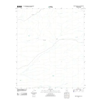 2011 Ninetysix Hills SE2011 Print · USGSPinal County ranching life remains centered around isolated homesteads and desert water sources in the early twenty-first century. Researchers can trace the layout of Ninetysix Ranch and locate desert landmarks like Coyote Peak or Tom Mix Wash.
 - 2011 Map of Pima Butte, 2011 Print
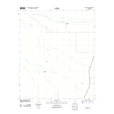 2011 Pima Butte2011 Print · USGSMaricopa Wells and the Gila River basin are shown in this contemporary study of the Arizona desert's drainage and settlement patterns. Trace the confluence of the Santa Cruz and Vekol washes near Morgans Ferry and the landmark Pima Butte.
 - 2011 Map of Casa Grande East, 2011 Print
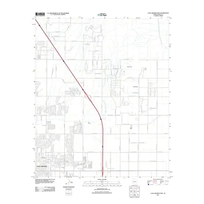 2011 Casa Grande East2011 Print · USGSArizona’s desert suburbs meet the volcanic hills of Pinal County in the early twenty-first century. Genealogists and researchers can trace the modern expansion of Casa Grande and locate landmarks like Fye Airstrip, Signal Peak, and Black Butte.
 - 2011 Map of Tortolita Mountains, 2011 Print
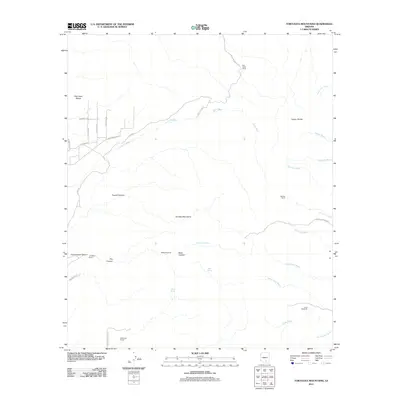 2011 Tortolita Mountains2011 Print · USGSThe Tortolita Mountains and their rugged canyons appear in this early twenty-first-century survey as a landscape of isolated desert ranching. Researchers can trace historic water sources and ranch holdings like Palo Verde Ranch, McKenzie Ranch, and the Riddle Windmill.
 - 2011 Map of Double Peak, 2011 Print
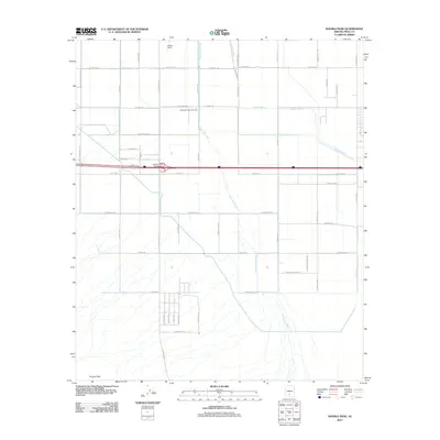 2011 Double Peak2011 Print · USGSArizona's Pinal County desert is captured here in the early twenty-first century, showing a landscape of agricultural grids and arid washes. Researchers can trace land use through features like Potters Field, the Carranza Farm Airstrip, and the landmark Double Peak.
Showing maps 1-25 of 449
Top cities of Pinal County
- San Tan Valley historical maps
- Maricopa historical maps
- Casa Grande historical maps
- Apache Junction historical maps
- Florence historical maps
- Eloy historical maps
See more
Frequently asked questions
- What are the different types of historical maps available for Pinal County?
- What is the oldest map of Pinal County?
- Where can I purchase historical maps of Pinal County for my home or office?
- Where can I download high-res historical maps of Pinal County?
- Are there historical topographic maps available for Pinal County?
- Is there historical aerial imagery available for Pinal County?
- Where are historical maps of Pinal County sourced from?