2020s Maps of Pinal County, Arizona
Explore 128 historic maps of Pinal County from the 2020s. These maps offer a rare glimpse into what life looked like during the 2020s — showing old roads, neighborhoods, homes, and landmarks that have changed or disappeared over time.
Whether you're researching your family's past, planning a metal detecting trip, or studying how Pinal County's landscape evolved across the 2020s, these high-resolution maps are a powerful tool for exploring the history of this region.
- Focus on a specific era: All maps on this page are from the 2020s, giving you a focused view of this time period.
- See what’s changed: Compare century-old streets, trails, and buildings to today's modern landscape using overlays and satellite layers.
- Research with precision: Use these maps for genealogy, historical research, land use analysis, or educational projects.
- View, download, or print: Maps are fully viewable online in high resolution, and can be downloaded or printed for your own records.
Start exploring Pinal County's history through authentic maps from the 2020s. This is your window into the past.
Pinal County, AZ maps
(128)- 2021 Map of Lookout Mountain, 2021 Print
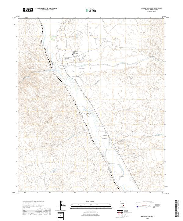 2021 Lookout Mountain2021 Print · USGSThe confluence of the San Pedro River and Aravaipa Cr is documented here in the early twenty-first century. Researchers can trace the desert topography from Lookout Mtn across dozens of named drainages like Javelina Wash and Pearl Wash.
 - 2021 Map of Desert Well, 2021 Print
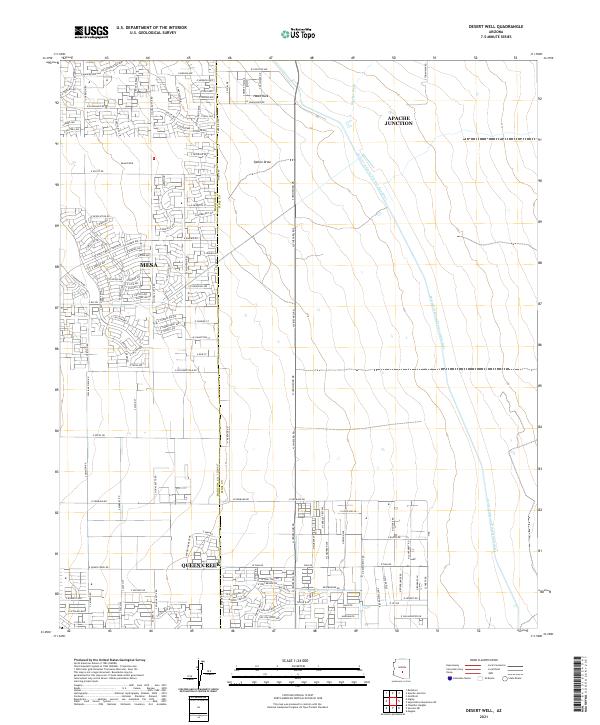 2021 Desert Well2021 Print · USGSThe intersection of Maricopa and Pinal counties shows a landscape in transition as residential grids expand across the desert. Researchers can trace modern developments alongside vital water infrastructure like the Central Arizona Project Aqueduct and the original Desert Well.
 - 2021 Map of Vaiva Vo, 2021 Print
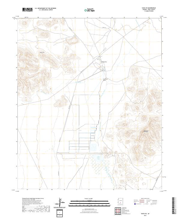 2021 Vaiva Vo2021 Print · USGSModern Tohono O'odham territory in Pinal County comes into focus through this 2021 study of the Santa Rosa Valley. Researchers can trace local routes like Indian Rte 42 or locate the peaks of the Tat Momoli Mountains.
 - 2021 Map of Valley Farms, 2021 Print
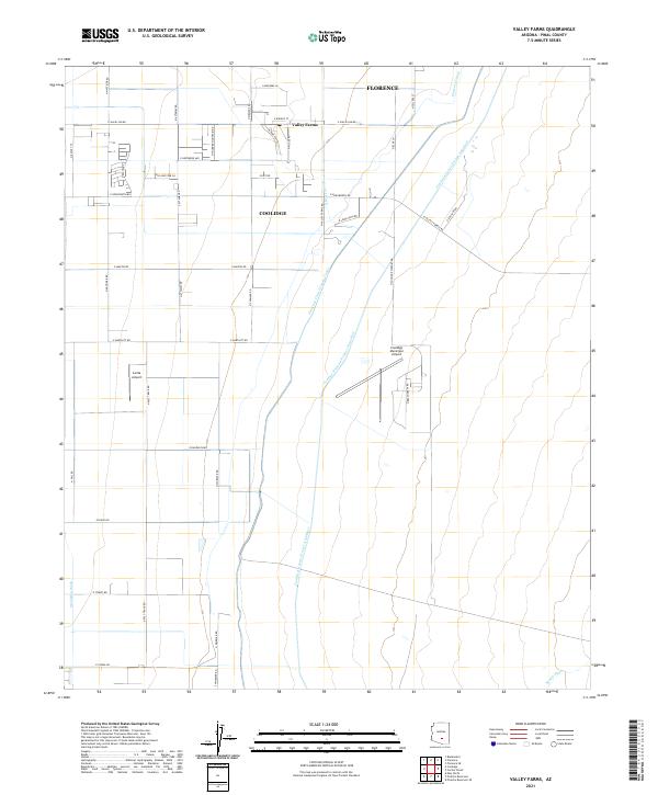 2021 Valley Farms2021 Print · USGSPinal County's desert agricultural landscape is captured here in the early 2020s, showing a transition between desert washes and massive water works. Trace the paths of the Central Arizona Project Aqueduct and Florence Canal near Valley Farms and Coolidge.
 - 2021 Map of Florence Junction, 2021 Print
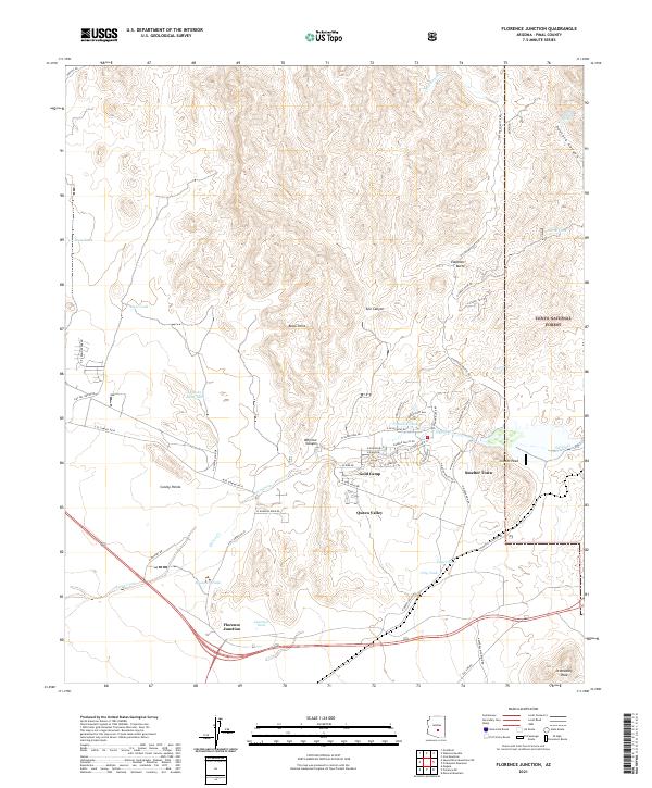 2021 Florence Junction2021 Print · USGSArizona's Pinal County foothills are shown in detail here during the early 2020s, centering on the residential development and desert landscapes. Researchers can trace the layout of Queen Valley, the intersection at Florence Junction, and local landmarks like Elephant Butte.
 - 2021 Map of Gila Butte, 2021 Print
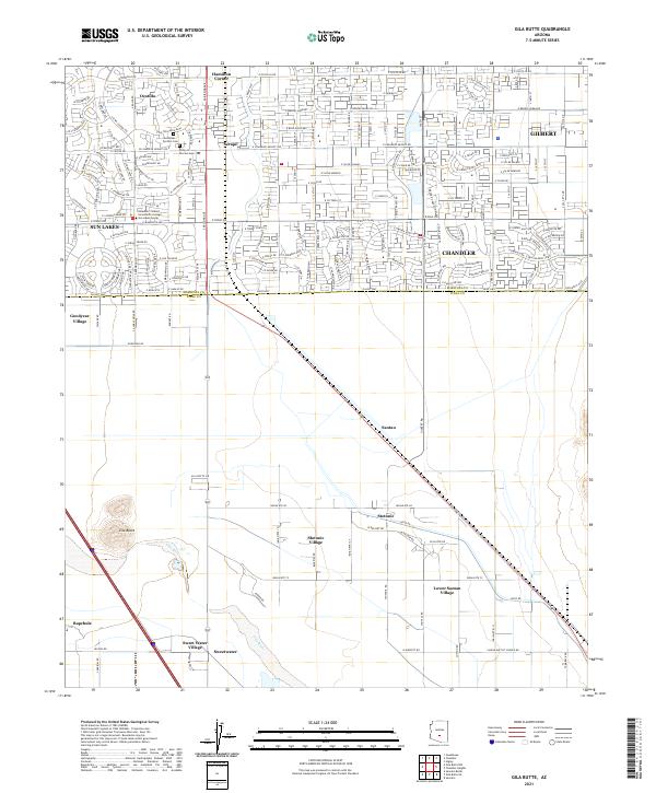 2021 Gila Butte2021 Print · USGSThe southern periphery of Chandler meets the Gila River Indian Community in the early 2020s, showing a landscape of rapid suburban growth and ancestral lands. Researchers can trace the boundaries of Stotonic Village and Bapchule or locate the Goodyear-Ocotillo Cem near the rising profile of Gila Butte.
 - 2021 Map of Grayback, 2021 Print
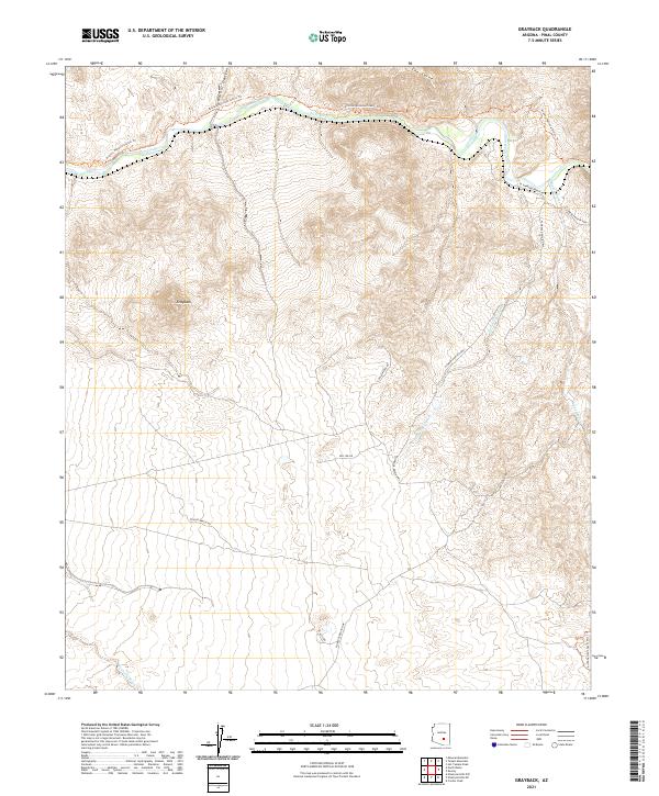 2021 Grayback2021 Print · USGSPinal County's desert canyons and ranchlands are captured here in the early twenty-first century as the desert landscape meets the winding river. Researchers can trace the rugged path of the Gila River and locate historic rural routes like A Diamond Ranch Rd and the Arizona National Scenic Trl.
 - 2021 Map of North of Oracle, 2021 Print
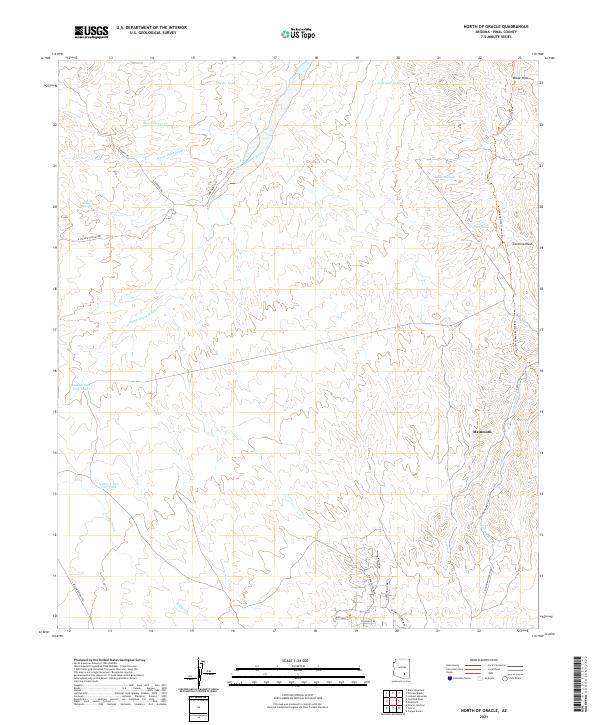 2021 North of Oracle2021 Print · USGSPinal County's high desert landscape comes into focus in the early 2020s, showing the intersection of ranching history and modern recreation. Trace the path of the Arizona National Scenic Trl past Mammoth or locate isolated water sources like Snyder Tank and Willow Springs.
 - 2021 Map of Eloy North, 2021 Print
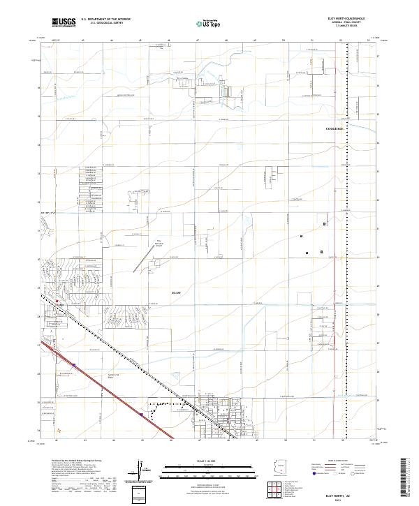 2021 Eloy North2021 Print · USGSThe Pinal County desert comes into focus in the 2020s, showing the intersection of heavy agriculture and modern development. Researchers can trace the path of the Casa Grande Canal and find local landmarks like Eloy, Toltec, and the Eloy Municipal Airport.
 - 2021 Map of Blackwater, 2021 Print
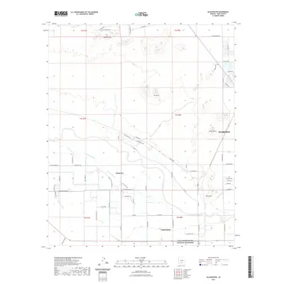 2021 Blackwater2021 Print · USGSArizona's Pinal County desert unfolds in this modern survey, capturing the agricultural and indigenous landscape between Florence and Coolidge. Genealogists and historians can trace the irrigation networks of Blackwater and landmarks like Casa Grande Ruins National Monument and Cholla Mtn.
 - 2021 Map of Greene Reservoir, 2021 Print
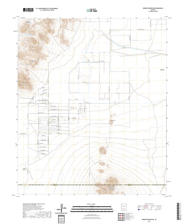 2021 Greene Reservoir2021 Print · USGSThe Aguirre Valley at the start of the 2020s shows a landscape of desert peaks and emerging rural developments. Trace the intersection of natural landmarks like Indian Head and Wildcat Peak with the modern grid of the Laguna area.
 - 2021 Map of Picacho Reservoir, 2021 Print
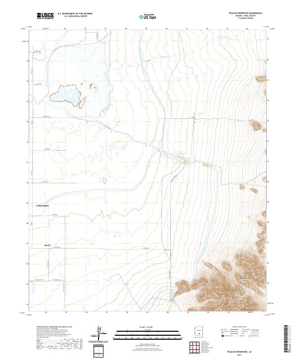 2021 Picacho Reservoir2021 Print · USGSThe Pinal County desert floor meets engineered irrigation during the early twenty-first century. Genealogists and researchers can trace local road networks and water infrastructure between the Picacho Mountains and the outskirts of Coolidge and Eloy.
 - 2021 Map of Fortified Peak, 2021 Print
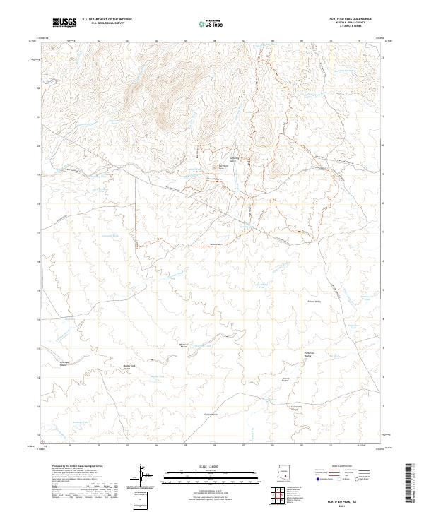 2021 Fortified Peak2021 Print · USGSPinal County in the early twenty-first century is captured here through its network of desert washes and high-country trails. Researchers can trace the water infrastructure of the region via Tipperary Tank, Big Bertha Tank, and the rugged path of Painter Boy Trl.
 - 2021 Map of Ninetysix Hills SE, 2021 Print
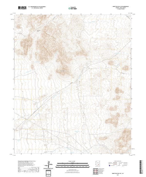 2021 Ninetysix Hills SE2021 Print · USGSPinal County's arid landscape comes into focus in this recent survey of the Arizona desert. Trace the seasonal waterways and ranching landmarks that define the region, including Coyote Peak, Tom Mix Wash, and Buck Tank.
 - 2021 Map of Teapot Mountain, 2021 Print
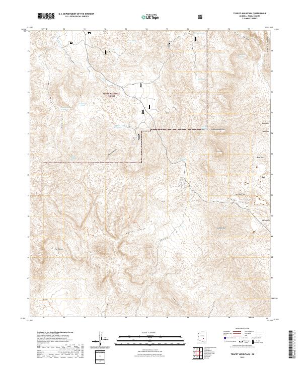 2021 Teapot Mountain2021 Print · USGSThe desert landscape of Pinal County is captured here in the 2020s, documenting the area between the Tonto National Forest and the community of Ray. Researchers can trace the rugged topography of landmarks like Teapot Mtn, Copper Butte, and the distinct geological formation known as The Spine.
 - 2021 Map of Durham Hills, 2021 Print
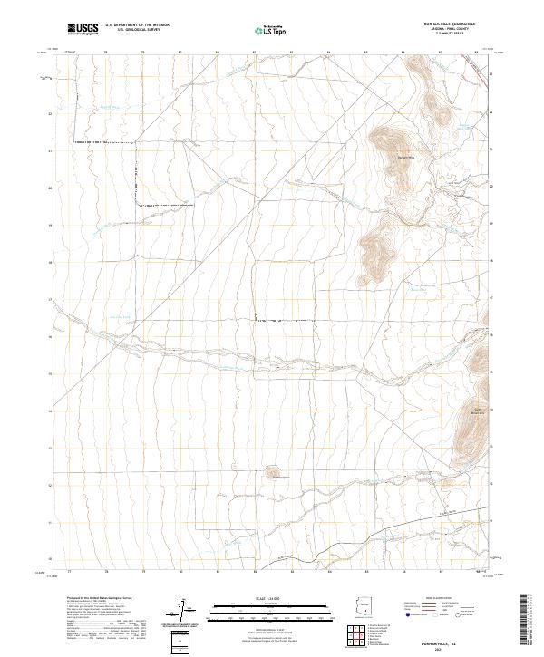 2021 Durham Hills2021 Print · USGSArizona's Pinal County desert is revealed here in the early twenty-first century, showing a landscape shaped by dry washes and ranching infrastructure. Researchers can trace land use through features like The Huerfano, Copper Mine Tank, and the historic route of the Pinal Pioneer Pkwy.
 - 2021 Map of Samaniego Hills, 2021 Print
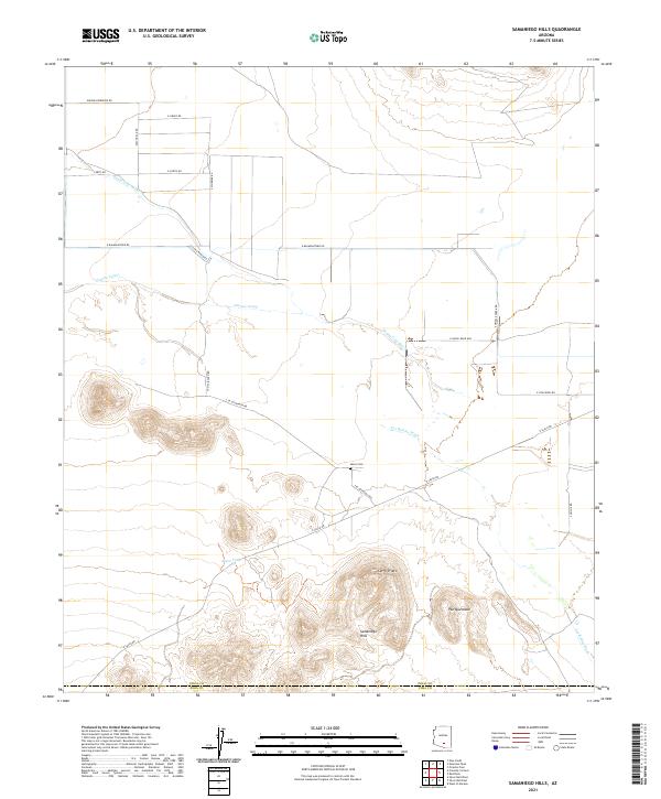 2021 Samaniego Hills2021 Print · USGSThe Pinal and Pima county borders meet in the Arizona desert during the early 2020s, showing a landscape defined by water engineering and volcanic peaks. Genealogists and historians can locate the Sasco Cem and trace the paths of the Santa Cruz River and Greene Canal.
 - 2021 Map of Goldfield, 2021 Print
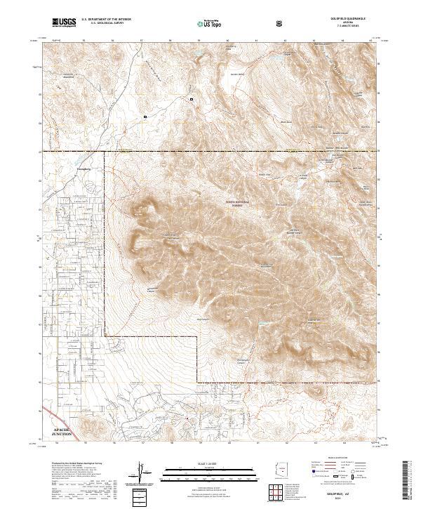 2021 Goldfield2021 Print · USGSThe western face of the Superstition Mountains meets the outskirts of Apache Junction in this modern topographic survey. Hikers and historians can trace the steep ascent of The Flatiron or locate water sources like Hackberry Spring and Hieroglyphic Spring.
 - 2021 Map of Friendly Corners, 2021 Print
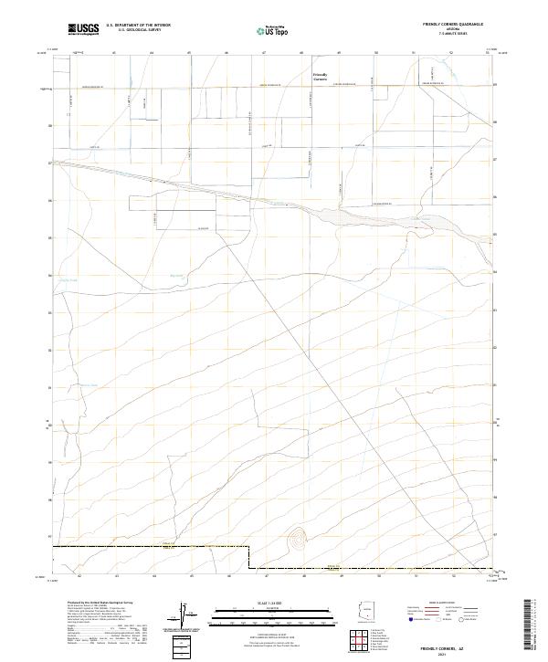 2021 Friendly Corners2021 Print · USGSThe desert crossroads of Friendly Corners is mapped here as it appeared in 2021, showing the modern agricultural grid south of the Santa Cruz River. Researchers can trace water management routes like the Greene Canal and catchments including Big Tank and Morris Tank.
 - 2021 Map of Oracle Junction, 2021 Print
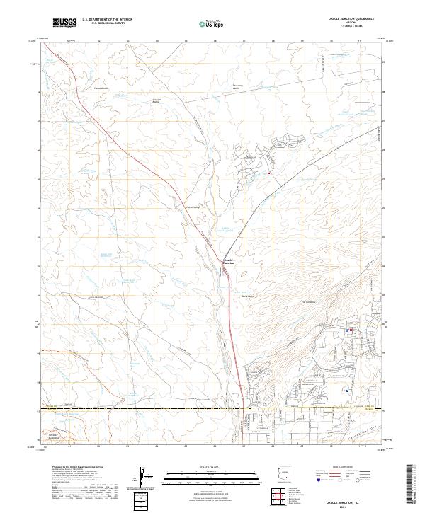 2021 Oracle Junction2021 Print · USGSOracle Junction and the northern foothills of the Pinal County desert are captured here during a period of expanding residential development. Researchers can trace the growth of The Cordones and locate desert landmarks like Falcon Divide and Indian Town Reservoir.
 - 2021 Map of Chuichu, 2021 Print
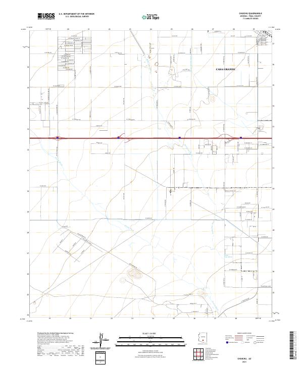 2021 Chuichu2021 Print · USGSArizona's Sonoran basin comes into focus in this recent survey of the outskirts of Casa Grande. Local historians and property researchers can trace the course of Santa Cruz Wash, the Casa Grande Canal, and long-established routes like Montgomery Rd.
 - 2021 Map of Sacaton Butte, 2021 Print
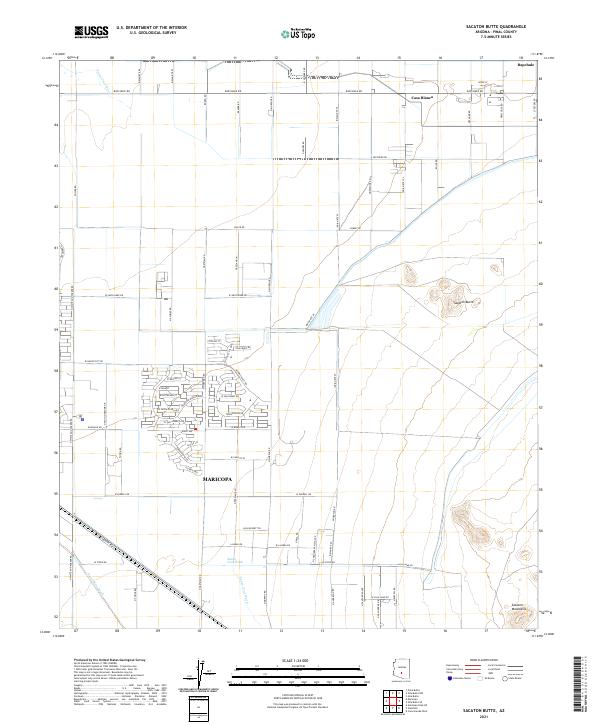 2021 Sacaton Butte2021 Print · USGSPinal County development meets traditional Gila River Indian Community lands in the early twenty-first century. Researchers can trace the modern expansion of Maricopa alongside established settlements like Casa Blanca and Bapchule.
 - 2021 Map of Superior, 2021 Print
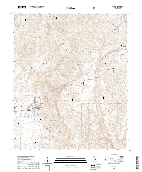 2021 Superior2021 Print · USGSArizona's copper country comes into focus in this contemporary survey of the area around Superior and the heights of Apache Leap. Researchers can trace local landmarks like the Queen Creek Tunnel, Oak Flat, and numerous springs and tanks used by generations of desert ranchers.
 - 2021 Map of Desert Peak, 2021 Print
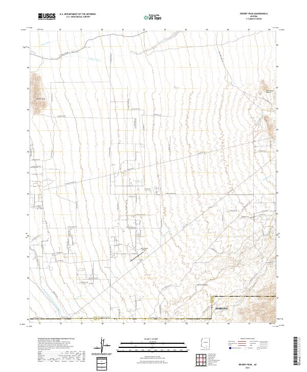 2021 Desert Peak2021 Print · USGSThe northern reaches of Marana and the rugged Sonoran landscape are documented here during a period of modern desert expansion. Genealogists and local historians can trace the growth of Marana near the Central Arizona Project Aqueduct and the Twin Hawks Airpark.
 - 2021 Map of Cactus Forest, 2021 Print
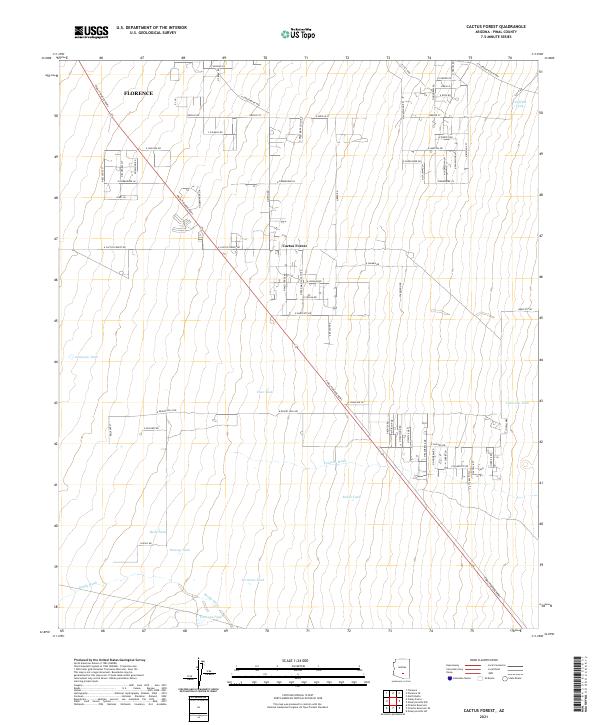 2021 Cactus Forest2021 Print · USGSPinal County's desert interface is captured here in the early 2020s as residential growth spreads from Florence into Cactus Forest. Trace the landscape's water history through family-named landmarks like Youtsey Tank, Clemans Tank, and Jamieson Tank.
Showing maps 1-25 of 128
Top cities of Pinal County
- San Tan Valley historical maps
- Maricopa historical maps
- Casa Grande historical maps
- Apache Junction historical maps
- Florence historical maps
- Eloy historical maps
See more
Frequently asked questions
- What are the different types of historical maps available for Pinal County?
- What is the oldest map of Pinal County?
- Where can I purchase historical maps of Pinal County for my home or office?
- Where can I download high-res historical maps of Pinal County?
- Are there historical topographic maps available for Pinal County?
- Is there historical aerial imagery available for Pinal County?
- Where are historical maps of Pinal County sourced from?