2020s Maps of Los Angeles County, California
Explore 100 historic maps of Los Angeles County from the 2020s. These maps offer a rare glimpse into what life looked like during the 2020s — showing old roads, neighborhoods, homes, and landmarks that have changed or disappeared over time.
Whether you're researching your family's past, planning a metal detecting trip, or studying how Los Angeles County's landscape evolved across the 2020s, these high-resolution maps are a powerful tool for exploring the history of this region.
- Focus on a specific era: All maps on this page are from the 2020s, giving you a focused view of this time period.
- See what’s changed: Compare century-old streets, trails, and buildings to today's modern landscape using overlays and satellite layers.
- Research with precision: Use these maps for genealogy, historical research, land use analysis, or educational projects.
- View, download, or print: Maps are fully viewable online in high resolution, and can be downloaded or printed for your own records.
Start exploring Los Angeles County's history through authentic maps from the 2020s. This is your window into the past.
Los Angeles County, CA maps
(100)- 2021 Map of San Clemente Island Central, 2021 Print
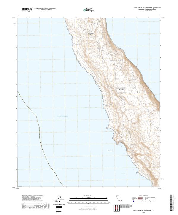 2021 San Clemente Island Central2021 Print · USGSSan Clemente Island is documented in the early twenty-first century, showing the central portion of the southernmost Channel Island. Researchers can trace the steep topography of the coastal terraces near Eel Point and the sheltered waters of Seal Cove.
 - 2021 Map of San Clemente Island Central OE E, 2021 Print
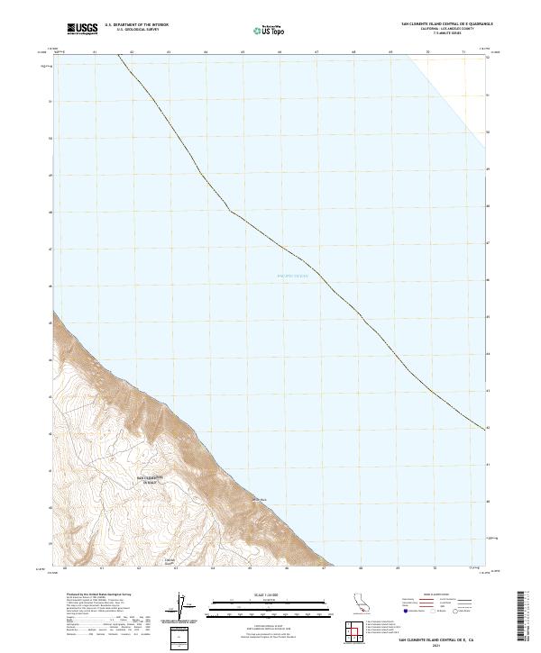 2021 San Clemente Island Central OE E2021 Print · USGSThe steep coastal ridges of the Channel Islands descend toward the sea in this 2021 study of the California coast. Researchers can map the sharp elevation changes near the shoreline and locate the prominent White Rock.
 - 2021 Map of Green Valley, 2021 Print
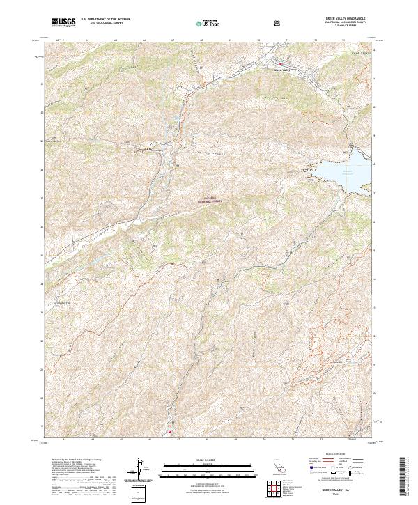 2021 Green Valley2021 Print · USGSGreen Valley and the surrounding Angeles National Forest are captured here in the early twenty-first century. Researchers can trace water infrastructure like the Los Angeles Aqueduct or explore local landmarks such as Table Rock, Bouquet Reservoir, and Drinkwater Flat.
 - 2021 Map of Adobe Mountain, 2021 Print
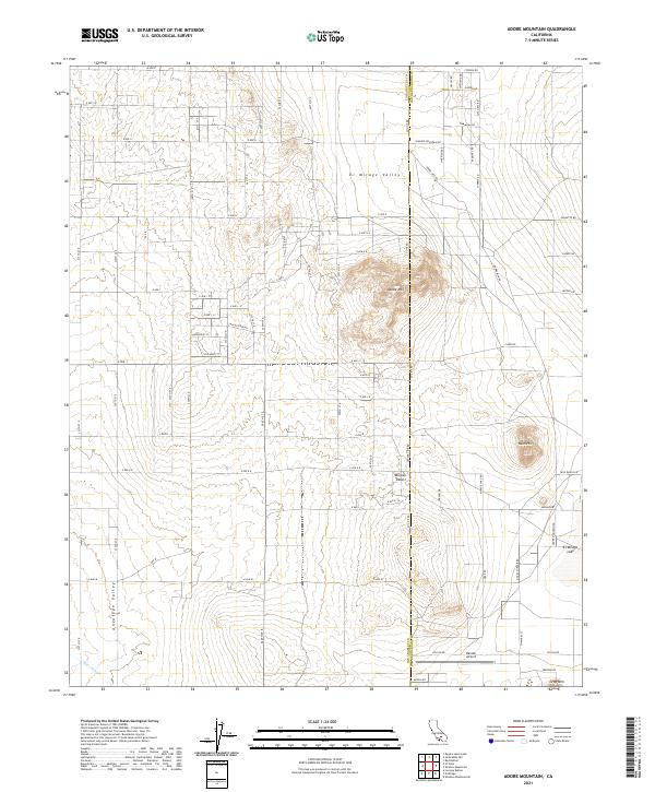 2021 Adobe Mountain2021 Print · USGSThe high desert landscape where Los Angeles and San Bernardino counties meet is captured here in the early twenty-first century. Researchers can trace the modern road grid through El Mirage Valley and locate landmarks like Hansen Airport and Adobe Mtn.
 - 2021 Map of San Clemente Island South OE E, 2021 Print
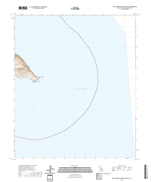 2021 San Clemente Island South OE E2021 Print · USGSThe southeastern tip of San Clemente Island is captured here in the early twenty-first century, showing the rocky meeting point of land and sea. Researchers can locate coastal landmarks like Pyramid Head, Sun Point, and the geological feature at Balanced Rock.
 - 2021 Map of Burnt Peak, 2021 Print
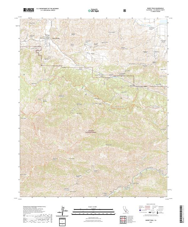 2021 Burnt Peak2021 Print · USGSThe Sierra Pelona Mountains come into focus in the early 2020s, showing the high-altitude terrain of the northern Angeles National Forest. Researchers can trace the path of the San Andreas Fault past Tweedy Lake or follow the Pacific Crest National Scenic Trail through Three Points.
 - 2021 Map of San Clemente Island Central OE S, 2021 Print
 2021 San Clemente Island Central OE S2021 Print · USGSThe vast marine expanse of the Southern California coast is captured here in the early twenty-first century. Researchers can trace the rugged shoreline of San Clemente Island at Lost Point as it meets the deep Pacific Ocean.
 - 2021 Map of Littlerock, 2021 Print
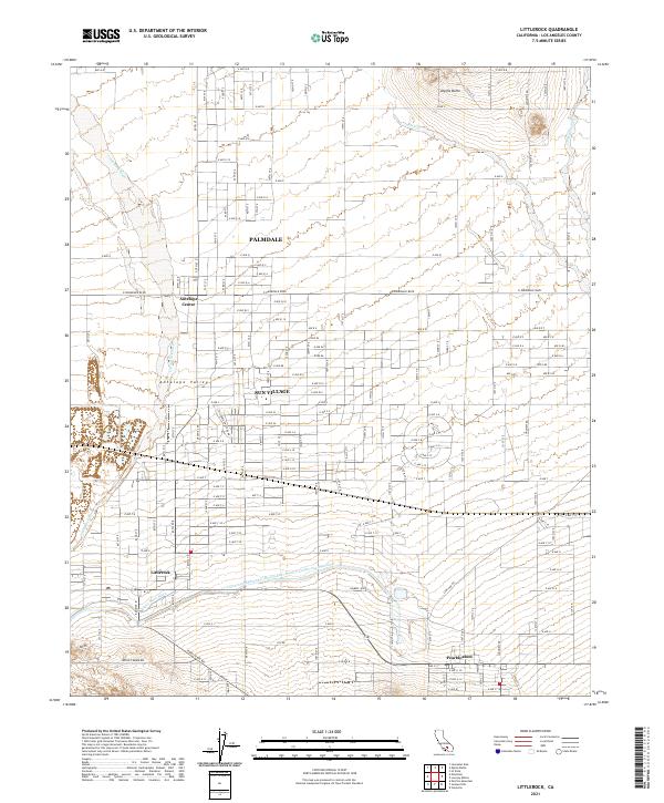 2021 Littlerock2021 Print · USGSThe high desert of Los Angeles County is captured here in the early twenty-first century as suburban growth meets traditional agriculture. Genealogists and historians can trace the local infrastructure around Palmdale, Sun Village, and the vital California Aqueduct.
 - 2021 Map of Point Dume, 2021 Print
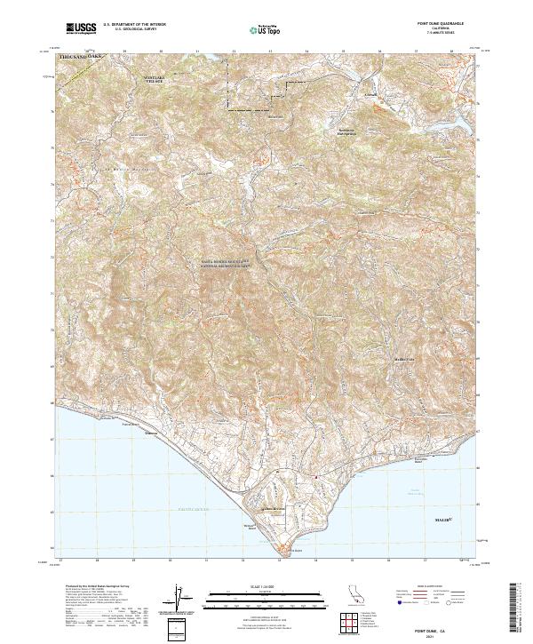 2021 Point Dume2021 Print · USGSThe Santa Monica Mountains meet the Pacific Ocean in the early twenty-first century, showing the development of coastal enclaves. Trace historic trails and modern topography through Seminole Hot Springs, Malibu Vista, and the prominent Point Dume.
 - 2021 Map of Valyermo, 2021 Print
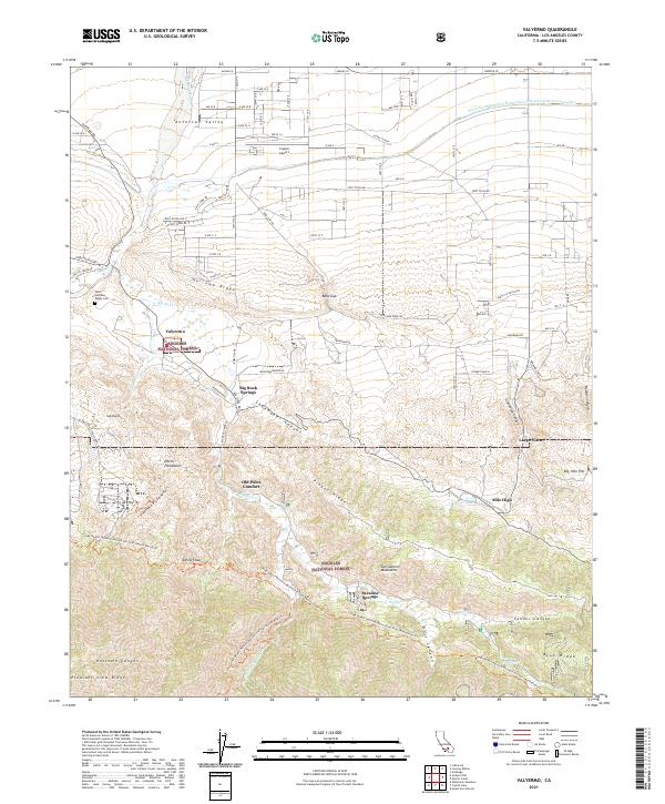 2021 Valyermo2021 Print · USGSThe high desert meets the San Gabriel Mountains in this contemporary survey of the Los Angeles County backcountry. Genealogists and hikers can trace landmarks from Saint Andrews Abbey Cem to the unique geological features of the Devils Punchbowl and Old Point Comfort.
 - 2021 Map of Neenach School, 2021 Print
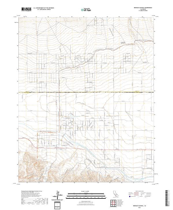 2021 Neenach School2021 Print · USGSThe Antelope Valley at the start of the 2020s shows a landscape defined by the Los Angeles Aqueduct and the Pacific Crest National Scenic Trl. Trace rural property lines along Gaskell Rd or explore the canyons of Happy Valley.
 - 2021 Map of Rosamond Lake, 2021 Print
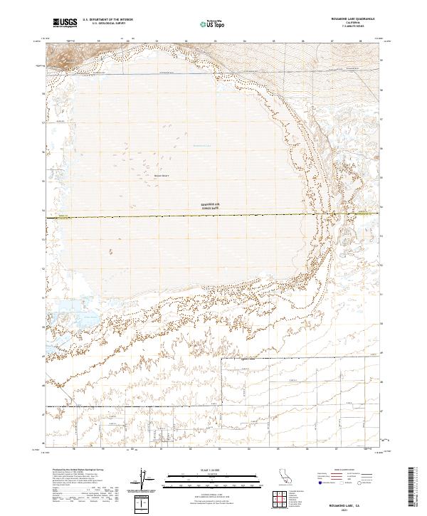 2021 Rosamond Lake2021 Print · USGSThe high desert along the Kern and Los Angeles county line is captured in this modern survey of the Antelope Valley. Researchers can trace the intersection of early desert routes like Willow Springs Rd with the expanse of Rosamond Lake and the managed Piute Ponds.
 - 2021 Map of Lake Hughes, 2021 Print
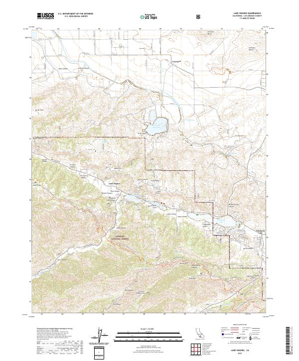 2021 Lake Hughes2021 Print · USGSIn the high desert and mountains of northern Los Angeles County, this modern survey details the geological and hydraulic lifeblood of the region. Trace the San Andreas Fault through Lake Hughes or locate infrastructure like the Elizabeth Tunnel and Fairmont Reservoir.
 - 2021 Map of El Mirage, 2021 Print
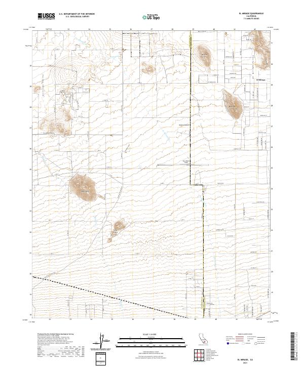 2021 El Mirage2021 Print · USGSEl Mirage sits at the edge of the high desert in the early twenty-first century, where the Los Angeles and San Bernardino county lines meet. Researchers can trace the layout of El Mirage Valley and find landmarks like Gray Butte Field, Moody Springs, and Black Butte.
 - 2021 Map of Little Buttes, 2021 Print
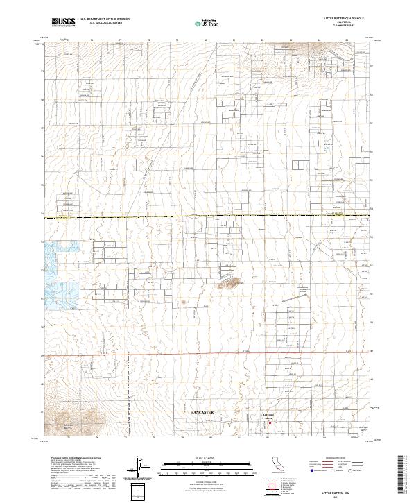 2021 Little Buttes2021 Print · USGSThe northern reaches of the Antelope Valley come into focus here during the early twenty-first century, where desert settlement meets major utility infrastructure. Genealogists and historians can locate properties in Antelope Acres or trace flight paths near the Little Buttes Antique Airfield.
 - 2021 Map of Jackrabbit Hill, 2021 Print
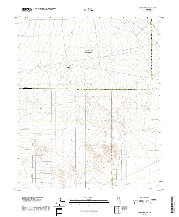 2021 Jackrabbit Hill2021 Print · USGSThe high desert at the tri-county corner of Kern, Los Angeles, and San Bernardino comes into focus in this recent survey. Trace the geographic intersection of Jackrabbit Hill and the El Mirage Valley along roads like Mars Blvd and Ave B.
 - 2021 Map of Lovejoy Buttes, 2021 Print
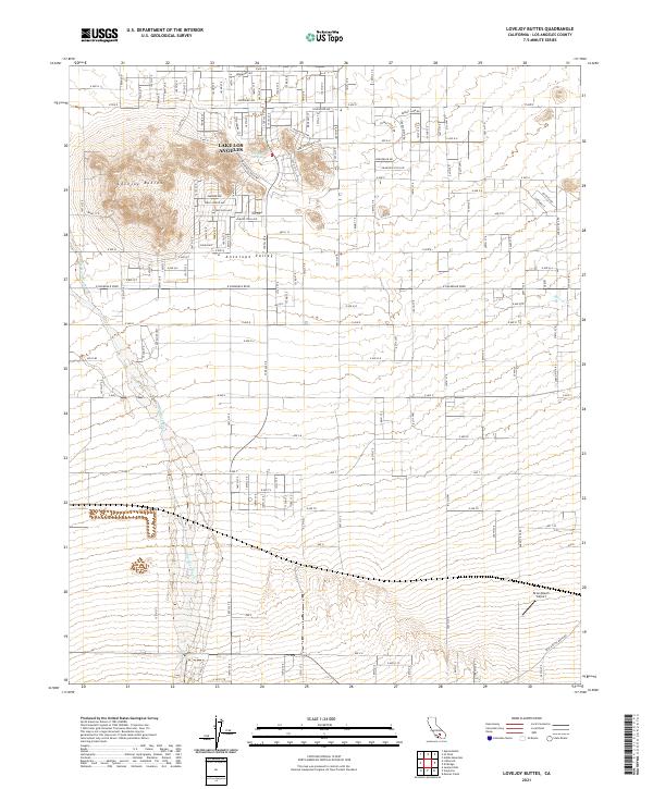 2021 Lovejoy Buttes2021 Print · USGSAntelope Valley's high-desert character is captured here in the early twenty-first century as the residential grid expands around Lake Los Angeles. Trace family properties near the Lovejoy Buttes or locate landmarks like Brian Ranch Airport and Lovejoy Springs.
 - 2021 Map of Val Verde, 2021 Print
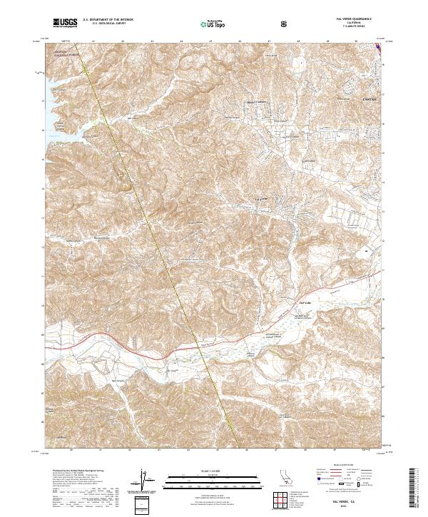 2021 Val Verde2021 Print · USGSThe canyonlands of the Los Angeles-Ventura border are captured here in a moment of modern residential expansion into the hills. Researchers can trace the interface between the Angeles National Forest and settlements like Val Verde, Del Valle, and Castaic.
 - 2021 Map of Del Sur, 2021 Print
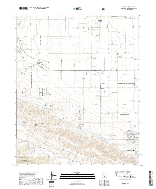 2021 Del Sur2021 Print · USGSThe Antelope Valley's high desert landscape meets the northern edge of the Angeles National Forest in this recent survey. Researchers can trace the massive San Andreas Fault as it runs south of Del Sur and Leona Valley, alongside the California Aqueduct.
 - 2021 Map of San Clemente Island South, 2021 Print
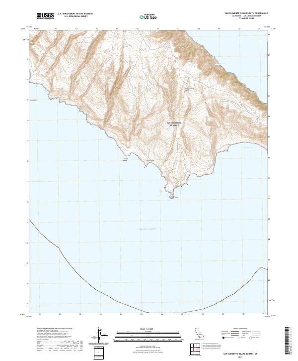 2021 San Clemente Island South2021 Print · USGSSan Clemente Island’s southern tip was surveyed in this contemporary record of California's most isolated Channel Island. Maritime researchers can trace the coastal contours from the deep waters of Pyramid Cove to landmarks like China Point and Lost Point.
 - 2021 Map of Fairmont Butte, 2021 Print
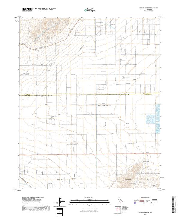 2021 Fairmont Butte2021 Print · USGSAntelope Valley's high-desert landscape is captured here in the early twenty-first century, where volcanic peaks meet critical water infrastructure. Trace the dual paths of the Los Angeles Aqueduct and explore the rugged terrain around Fairmont Butte and Skyotee Ranch Airport.
 - 2021 Map of Palmdale, 2021 Print
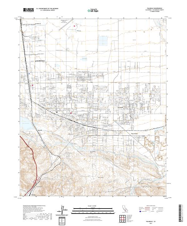 2021 Palmdale2021 Print · USGSPalmdale and the High Desert landscape are captured here in 2021, showing the modern intersection of aerospace industry and residential growth. Researchers can locate the Palmdale United States Air Force Plant 42 and trace the San Andreas Fault past Pearland and Lake Palmdale.
 - 2021 Map of La Liebre Ranch, 2021 Print
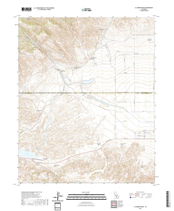 2021 La Liebre Ranch2021 Print · USGSThe high desert transition at the Kern and Los Angeles county line is documented here in the early twenty-first century. Researchers can trace the path of the San Andreas Fault and locate landmarks like the La Liebre Ranch, Quail Lake Sky Park, and the Carley V Porter Tunnel.
 - 2021 Map of Agua Dulce, 2021 Print
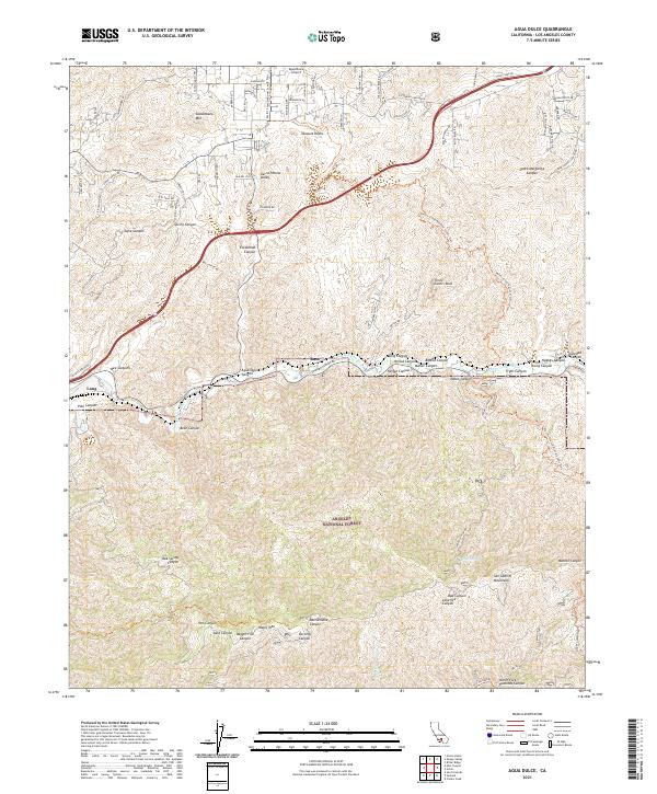 2021 Agua Dulce2021 Print · USGSAgua Dulce and the high desert canyons of Los Angeles County are captured here in the early 2020s. Hikers and local historians can trace the Pacific Crest National Scenic Trail past Vasquez Rocks or locate old rail points like Russ and Lang.
 - 2021 Map of Hi Vista, 2021 Print
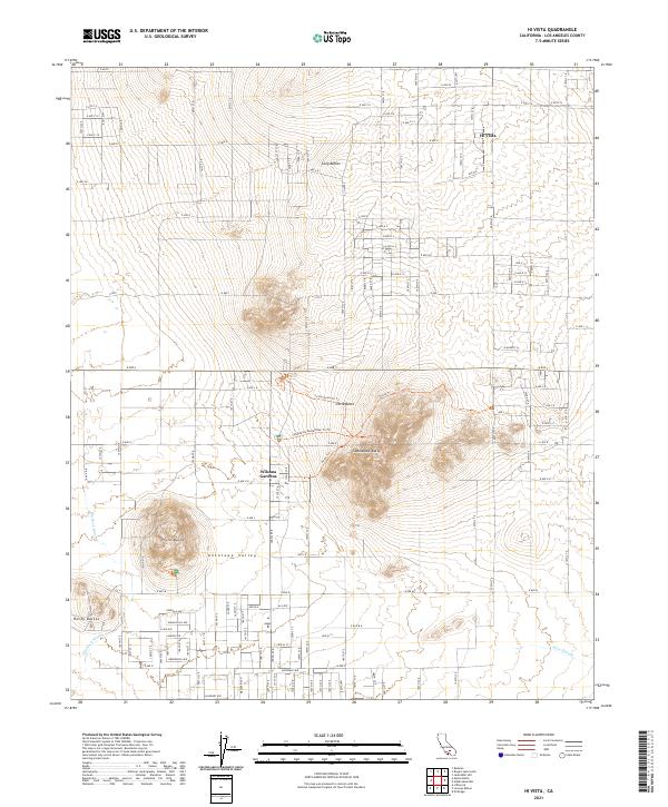 2021 Hi Vista2021 Print · USGSAntelope Valley enters the modern era with a clear view of its unique desert geography and rural settlements. Researchers can trace the layout of Wilsona Gardens, the heights of Saddleback Butte, and the path of the Big Rock Wash.
Showing maps 1-25 of 100
Top cities of Los Angeles County
- Los Angeles historical maps
- Long Beach historical maps
- Glendale historical maps
- Santa Clarita historical maps
- Pomona historical maps
- Palmdale historical maps
See more
Frequently asked questions
- What are the different types of historical maps available for Los Angeles County?
- What is the oldest map of Los Angeles County?
- Where can I purchase historical maps of Los Angeles County for my home or office?
- Where can I download high-res historical maps of Los Angeles County?
- Are there historical topographic maps available for Los Angeles County?
- Is there historical aerial imagery available for Los Angeles County?
- Where are historical maps of Los Angeles County sourced from?