2000s (21st Century) Maps of Trinity County, California
Explore 342 historic maps of Trinity County from the 2000s (21st Century). These maps offer a rare glimpse into what life looked like during the 2000s — showing old roads, neighborhoods, homes, and landmarks that have changed or disappeared over time.
Whether you're researching your family's past, planning a metal detecting trip, or studying how Trinity County's landscape evolved across the 2000s, these high-resolution maps are a powerful tool for exploring the history of this region.
- Focus on a specific era: All maps on this page are from the 2000s, giving you a focused view of this time period.
- See what’s changed: Compare century-old streets, trails, and buildings to today's modern landscape using overlays and satellite layers.
- Research with precision: Use these maps for genealogy, historical research, land use analysis, or educational projects.
- View, download, or print: Maps are fully viewable online in high resolution, and can be downloaded or printed for your own records.
Start exploring Trinity County's history through authentic maps from the 2000s. This is your window into the past.
Trinity County, CA maps
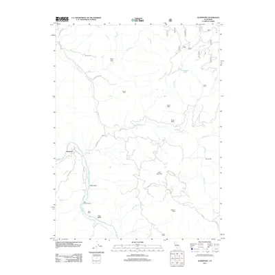
(342)- 2001 Map of Youngs Peak, 2004 Print
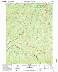 2001 Youngs Peak2004 Print · USGSThe Siskiyou and Trinity County borderlands at the start of the new millennium reveal a landscape shaped by gold-mining legacies and towering peaks. Researchers can trace historic claims like the Gilta Mine and Knownothing Mine or locate the remote Barton Cabin and Knownothing Lake.2 unique versions available
 - 2001 Map of Thompson Peak, 2004 Print
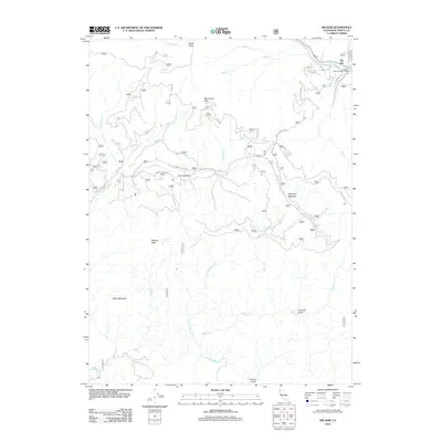
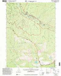 2001 Thompson Peak2004 Print · USGSThe high wilderness of the Trinity Alps and the Salmon River corridor are captured here at the start of the millennium. Researchers can trace isolated family landmarks and early mining footprints at Petersburg Station, Schoolhouse Flat, and Moliter Cabin.2 unique versions available
 - 2001 Map of Scott Mountain, 2004 Print
 2001 Scott Mountain2004 Print · USGSThe Siskiyou high country comes alive in this post-millennium survey of the Klamath and Shasta mountain border. Trace the legacy of local mining at Polar Bear Mine and find the remote Hayden Cabin along the Scott River.
 - 2001 Map of Caribou Lake, 2004 Print
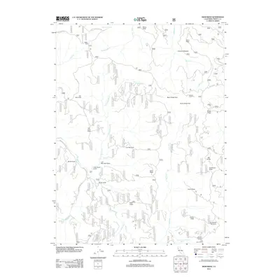
 2001 Caribou Lake2004 Print · USGSThe high peaks of the Salmon Mountains meet the Trinity Alps at the turn of the millennium in this detailed wilderness survey. Researchers can locate remote mining claims like the Dorieska Mine and LeRoy Mine or trace historic routes like the Weaverville Salmon River Rd.2 unique versions available
 - 2001 Map of Deadman Peak, 2004 Print
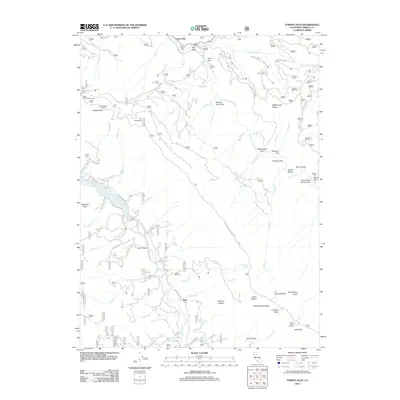
 2001 Deadman Peak2004 Print · USGSSiskiyou and Trinity counties meet in this high alpine wilderness at the turn of the millennium, where three national forests converge. Trace the high-altitude Pacific Crest National Scenic Trail past Schlomberg Cabin, Fish Lake, and numerous prospects from a legacy of mineral exploration.
 - 2012 Map of Jewett Rock, 2012 Print
 2012 Jewett Rock2012 Print · USGSCovers Trinity County, including Kekawaka, Humboldt County, and other nearby areas
 - 2012 Map of Shannon Butte, 2012 Print
 2012 Shannon Butte2012 Print · USGSCovers Trinity County, including Crabtree Place, Yellowjacket Place, and other nearby areas
 - 2012 Map of Pony Buck Peak, 2012 Print
 2012 Pony Buck Peak2012 Print · USGSCovers Trinity County, including Shasta County, Tehama County, and other nearby areas
 - 2012 Map of Jim Jam Ridge, 2012 Print
 2012 Jim Jam Ridge2012 Print · USGSCovers Trinity County, including United States, California, and other nearby areas
 - 2012 Map of Long Ridge, 2012 Print
 2012 Long Ridge2012 Print · USGSCovers Trinity County, including Nielson Place, Willie Hoaglin Place, and other nearby areas
 - 2012 Map of Del Loma, 2012 Print
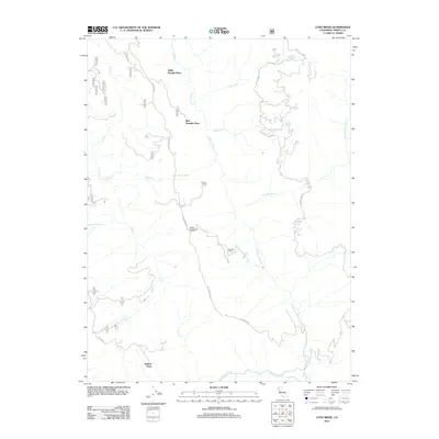
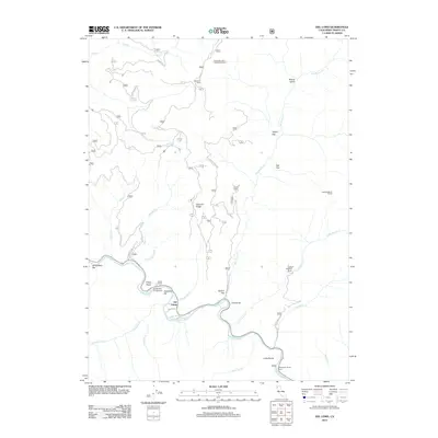 2012 Del Loma2012 Print · USGSCovers Trinity County, including Del Loma, United States, and other nearby areas
 - 2012 Map of Four Corners Rock, 2012 Print
 2012 Four Corners Rock2012 Print · USGSCovers Trinity County, including United States, California, and other nearby areas
 - 2012 Map of Dinsmore, 2012 Print
 2012 Dinsmore2012 Print · USGSCovers Trinity County, including Van Duzen, Dinsmore, and other nearby areas
 - 2012 Map of Denny, 2012 Print
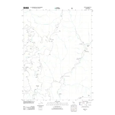 2012 Denny2012 Print · USGSCovers Trinity County, including Denny, Hoboken, and other nearby areas
 - 2012 Map of Black Lassic, 2012 Print
 2012 Black Lassic2012 Print · USGSCovers Trinity County, including Humboldt County, United States, and other nearby areas
 - 2012 Map of Ruth Lake, 2012 Print
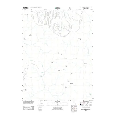
 2012 Ruth Lake2012 Print · USGSCovers Trinity County, including Ueland Place, United States, and other nearby areas
 - 2012 Map of Black Rock Mountain, 2012 Print
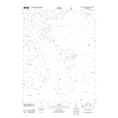 2012 Black Rock Mountain2012 Print · USGSCovers Trinity County, including Payne, Penney, and other nearby areas
 - 2012 Map of Halfway Ridge, 2012 Print
 2012 Halfway Ridge2012 Print · USGSCovers Trinity County, including United States, California, and other nearby areas
 - 2012 Map of Hayfork Bally, 2012 Print
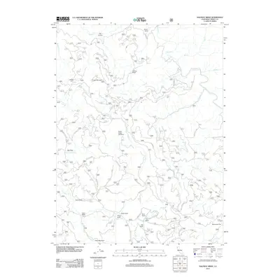
 2012 Hayfork Bally2012 Print · USGSCovers Trinity County, including United States, California, and other nearby areas
 - 2012 Map of Dubakella Mountain, 2012 Print
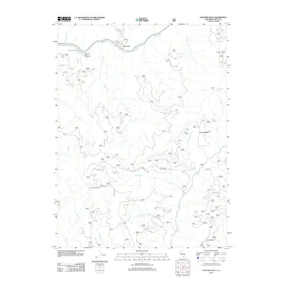
 2012 Dubakella Mountain2012 Print · USGSCovers Trinity County, including Peanut, United States, and other nearby areas
 - 2012 Map of Alderpoint, 2012 Print
 2012 Alderpoint2012 Print · USGSCovers Trinity County, including Alderpoint, Humboldt County, and other nearby areas
 - 2012 Map of Forest Glen, 2012 Print
 2012 Forest Glen2012 Print · USGSCovers Trinity County, including Ruth, Forest Glen, and other nearby areas
 - 2012 Map of Big Bar, 2012 Print
 2012 Big Bar2012 Print · USGSCovers Trinity County, including Big Bar, United States, and other nearby areas
 - 2012 Map of Smoky Creek, 2012 Print
 2012 Smoky Creek2012 Print · USGSCovers Trinity County, including Murphy Place, Bramlet Place, and other nearby areas
 - 2012 Map of Swim Ridge, 2012 Print
 2012 Swim Ridge2012 Print · USGSCovers Trinity County, including United States, California, and other nearby areas
Showing maps 1-25 of 342
Top cities of Trinity County
- Weaverville historical maps
- Hayfork historical maps
- Lewiston historical maps
- Trinity Village historical maps
- Ruth historical maps
- Zenia historical maps
Frequently asked questions
- What are the different types of historical maps available for Trinity County?
- What is the oldest map of Trinity County?
- Where can I purchase historical maps of Trinity County for my home or office?
- Where can I download high-res historical maps of Trinity County?
- Are there historical topographic maps available for Trinity County?
- Is there historical aerial imagery available for Trinity County?
- Where are historical maps of Trinity County sourced from?