2010s Maps of Trinity County, California
Explore 249 historic maps of Trinity County from the 2010s. These maps offer a rare glimpse into what life looked like during the 2010s — showing old roads, neighborhoods, homes, and landmarks that have changed or disappeared over time.
Whether you're researching your family's past, planning a metal detecting trip, or studying how Trinity County's landscape evolved across the 2010s, these high-resolution maps are a powerful tool for exploring the history of this region.
- Focus on a specific era: All maps on this page are from the 2010s, giving you a focused view of this time period.
- See what’s changed: Compare century-old streets, trails, and buildings to today's modern landscape using overlays and satellite layers.
- Research with precision: Use these maps for genealogy, historical research, land use analysis, or educational projects.
- View, download, or print: Maps are fully viewable online in high resolution, and can be downloaded or printed for your own records.
Start exploring Trinity County's history through authentic maps from the 2010s. This is your window into the past.
Trinity County, CA maps
(249)- 2012 Map of Jewett Rock, 2012 Print
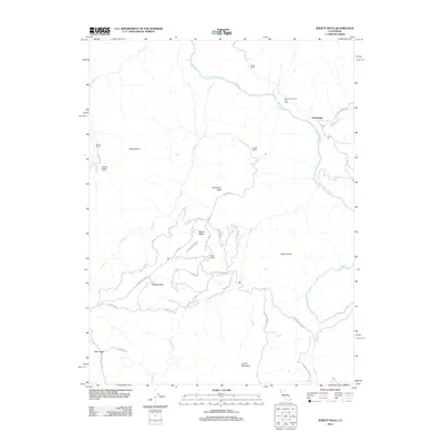 2012 Jewett Rock2012 Print · USGSThe Eel River canyon and its rugged tributary ridges come into focus during this early 21st-century survey of Trinity County. Genealogists and historians can trace family landholdings at White Ranch and Marr Ranch or locate the remote settlement of Kekawaka.
 - 2012 Map of Shannon Butte, 2012 Print
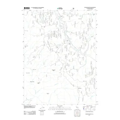 2012 Shannon Butte2012 Print · USGSTrinity County ranching and forest lands are detailed in this modern survey, showing a landscape shaped by remote family holdings and river drainages. You can trace the locations of historic sites like Crabtree Place, Shannon Place, and the Double A Ranch near the Mad River.
 - 2012 Map of Pony Buck Peak, 2012 Print
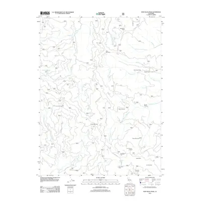 2012 Pony Buck Peak2012 Print · USGSShasta County’s high ridges and creek headwaters are documented here during the early twenty-first century. Researchers can locate seasonal outposts and remote water sources like Goat Camp, Flyblow Camp, and the uniquely named Hell to Find Lake.
 - 2012 Map of Jim Jam Ridge, 2012 Print
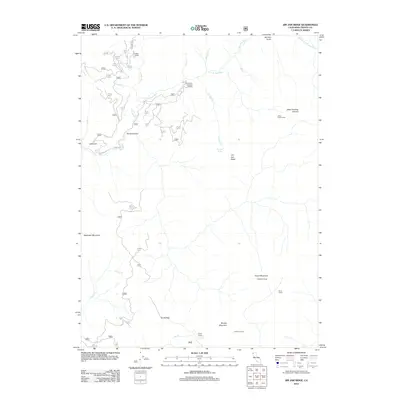 2012 Jim Jam Ridge2012 Print · USGSTrinity County's high-country terrain is captured here in the early twenty-first century, showing a landscape defined by seasonal camps and forest ridgelines. Researchers can trace the drainage of the New River and locate remote outposts like Miller Ranch, Stove Camp, and Jakes Lower Camp.
 - 2012 Map of Long Ridge, 2012 Print
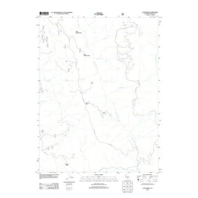 2012 Long Ridge2012 Print · USGSTrinity County ranchlands are documented here in the early twenty-first century, showing a network of remote family outposts and rugged river drainages. Genealogists and historians can locate specific sites like the Willie Hoaglin Place, Duncan Ranch, and Nielson Place.
 - 2012 Map of Del Loma, 2012 Print
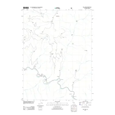 2012 Del Loma2012 Print · USGSTrinity County's rugged river corridor comes to life in this survey from the early 2010s. Genealogists and hikers can trace family-named sites like Brooks Ranch and Upper Waldorff Ranch or locate river features such as Schneiders Bar.
 - 2012 Map of Four Corners Rock, 2012 Print
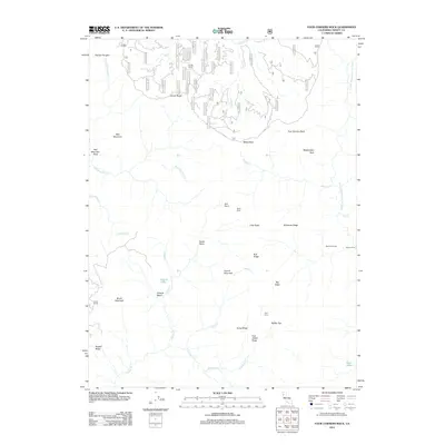 2012 Four Corners Rock2012 Print · USGSTrinity County’s high ridges and seasonal camps are documented here in the early 21st century. Researchers can trace remote mountain outposts and family-named landmarks like Vann Cabin, Travis Ranch, and Blacks Camp.
 - 2012 Map of Dinsmore, 2012 Print
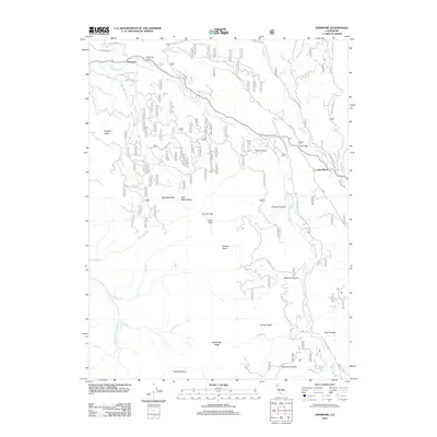 2012 Dinsmore2012 Print · USGSTrinity County's rugged drainage basins are documented here in the early twenty-first century as the Van Duzen River winds past remote outposts. Researchers can trace land features from Cobb Ranch and Low Gap to the high-elevation views at Tierney Peak and Woodmans Butte.
 - 2012 Map of Denny, 2012 Print
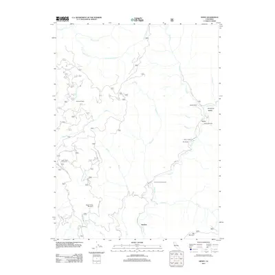 2012 Denny2012 Print · USGSThe Trinity County wilderness is documented here just after the turn of the twenty-first century, showing the remote canyon lands and high ridges. Trace the routes between Denny, Hoboken, and the mountain camps at Onion Camp and Happy Camp Campground.
 - 2012 Map of Black Lassic, 2012 Print
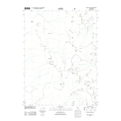 2012 Black Lassic2012 Print · USGSThe high ridges of Humboldt County are captured here in the early twenty-first century, showing a remote landscape of peaks and river headwaters. Map enthusiasts and researchers can trace access routes like Lassie Lookout Rd to landmarks such as Lassics Lookout and Fingal Ranch.
 - 2012 Map of Ruth Lake, 2012 Print
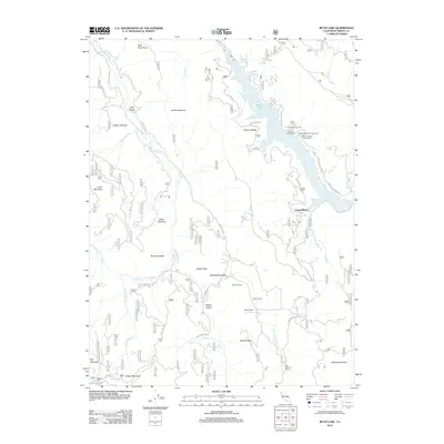 2012 Ruth Lake2012 Print · USGSTrinity County ranching and river geography are preserved in this early twenty-first-century survey of the Mad River country. Genealogists and local historians can trace legacy holdings at Ueland Place or Stapp Ranch and locate remote landmarks like Hetten Rock.
 - 2012 Map of Black Rock Mountain, 2012 Print
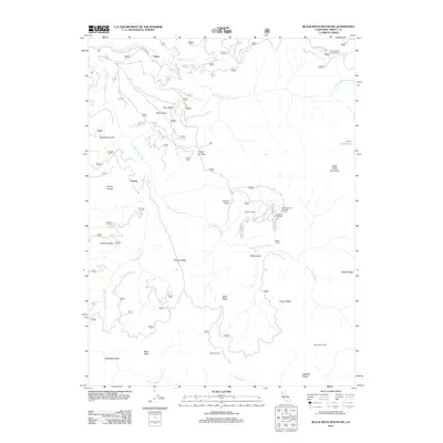 2012 Black Rock Mountain2012 Print · USGSTrinity County's high wilderness is documented here just after the turn of the millennium, showing a landscape of remote ridges and mountain outposts. Trace the locations of historic backcountry sites like Blossom Cabin, Payne, and the Grasshopper Campground.
 - 2012 Map of Halfway Ridge, 2012 Print
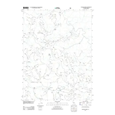 2012 Halfway Ridge2012 Print · USGSTrinity County's high ridges and deep gulches are charted in this detailed modern survey of the California wilderness. Researchers can locate remote landmarks like Friend Mountain, trace the waters of Hayfork Creek, and find seasonal sites at Camp Carter.
 - 2012 Map of Hayfork Bally, 2012 Print
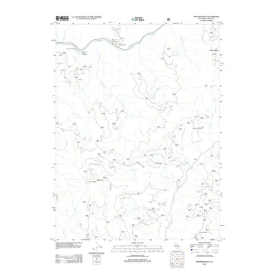 2012 Hayfork Bally2012 Print · USGSTrinity County’s rugged interior is captured here in the early twenty-first century, showing the transition from the river valley to the high ridges. Researchers can trace the layout of family-named sites like Rose Ranch and Farmer Ridge or locate the Hayfork Bally Lookout.
 - 2012 Map of Dubakella Mountain, 2012 Print
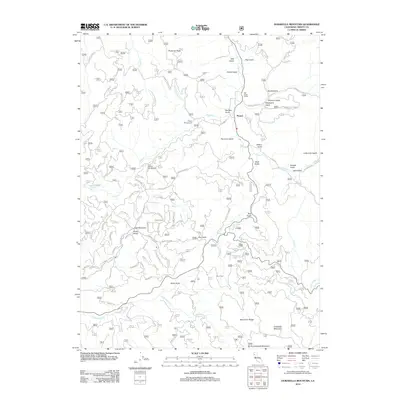 2012 Dubakella Mountain2012 Print · USGSTrinity County's high ridges and gulches are documented here as they appeared in 2012, centered on the settlement of Peanut. Researchers can trace the legacy of mountain life through the Salt Creek School, Chrome Mine Rd, and the summit of Dubakella Mountain.
 - 2012 Map of Alderpoint, 2012 Print
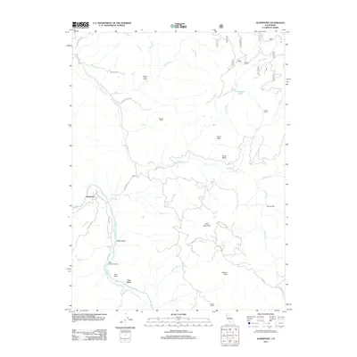 2012 Alderpoint2012 Print · USGSHumboldt County ranching and river life are captured here in the early twenty-first century as the Eel River shapes the local geography. Researchers can trace family landholdings and river landmarks like Dobbyn Creek Ranch, Cain Rock Crossing, and Moody Ranch.
 - 2012 Map of Forest Glen, 2012 Print
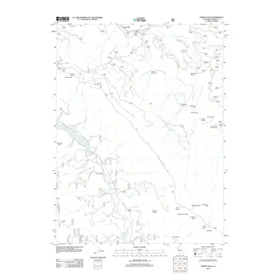 2012 Forest Glen2012 Print · USGSTrinity County’s forested river valleys come into focus in the early 2010s, centered on the community of Ruth. Researchers can trace remote mountain roads and backcountry sites like Pickett Peak Lookout, Terral Ranch, and the Silver Creek Ranch Airport.
 - 2012 Map of Big Bar, 2012 Print
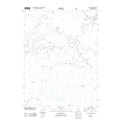 2012 Big Bar2012 Print · USGSTrinity County's river-carved landscape is documented here in the early twenty-first century, centered on the community of Big Bar. Researchers can trace the layout of mountain settlements like Corral Bottom and find landmarks such as the Big Bar District Ranger Office.
 - 2012 Map of Smoky Creek, 2012 Print
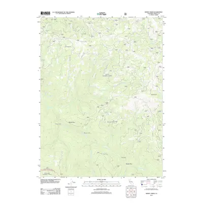 2012 Smoky Creek2012 Print · USGSTrinity County’s rugged interior is captured here just after the millennium, showing a landscape of remote camps and river forks. Researchers can trace family-named sites like Murphy Place and Bramlet Place or locate historical watering spots like Seven Up Cedars Spring.
 - 2012 Map of Swim Ridge, 2012 Print
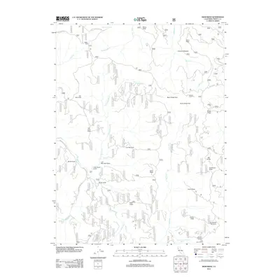 2012 Swim Ridge2012 Print · USGSTrinity County's high forest ridges and river canyons are detailed here in the early twenty-first century. Researchers and outdoorsmen can trace the rugged access roads to Double Cabins, the Little Doe Wilderness Trailhead, and the waters of Three Forks.
 - 2012 Map of Hyampom Mountain, 2012 Print
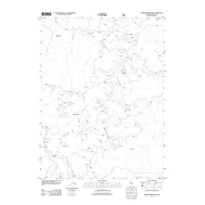 2012 Hyampom Mountain2012 Print · USGSTrinity County's high country is captured here in the early twenty-first century, centered on the confluence of the S Fork Trinity River and Hayfork Cr. Researchers can locate isolated landmarks like Wigdon Place, Skunk Ranch, and the Hyampom Airport.
 - 2012 Map of Salyer, 2012 Print
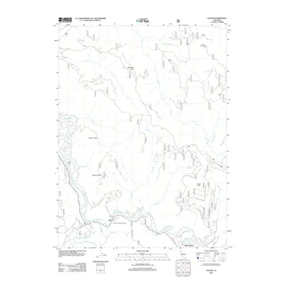 2012 Salyer2012 Print · USGSThe confluence of the Trinity forks defines this area of Northern California in the early twenty-first century. Genealogists and local historians can trace the roads and riverside settlements of Salyer, Trinity Village, and the Salyer Forest Service Facility.
 - 2012 Map of Thurston Peaks, 2012 Print
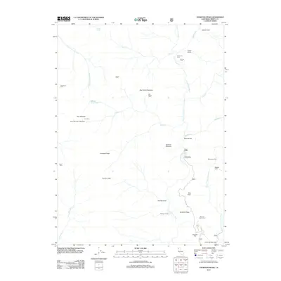 2012 Thurston Peaks2012 Print · USGSTrinity County's high country is documented here during the early twenty-first century, showing a landscape of remote camps and ridges. Researchers can locate Strunce Cabin, the Backbone Ridge Lookout, and historic pack-in sites like Ladder Camp.
 - 2012 Map of Sportshaven, 2012 Print
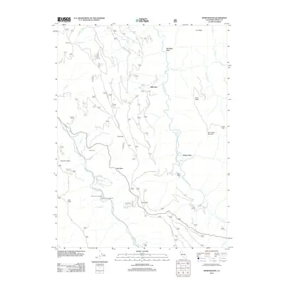 2012 Sportshaven2012 Print · USGSTrinity County ranching and mountain life are captured here in the early twenty-first century, showing the remote holdings between the major river forks. Local historians can trace family landmarks like Sids Place, Graham Place, and Feldmiller Ranch.
 - 2012 Map of Mount Hilton, 2012 Print
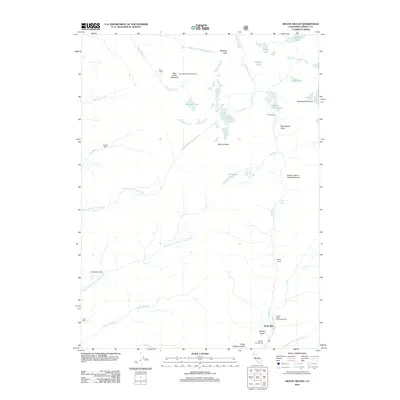 2012 Mount Hilton2012 Print · USGSTrinity County's high wilderness is captured here in the early twenty-first century, showing a landscape defined by sharp peaks and historical camps. Researchers can trace the routes to Globe Mill and find isolated backcountry sites like Enos Camp and Russell Cabin.
Showing maps 1-25 of 249
Top cities of Trinity County
- Weaverville historical maps
- Hayfork historical maps
- Lewiston historical maps
- Trinity Village historical maps
- Ruth historical maps
- Zenia historical maps
Frequently asked questions
- What are the different types of historical maps available for Trinity County?
- What is the oldest map of Trinity County?
- Where can I purchase historical maps of Trinity County for my home or office?
- Where can I download high-res historical maps of Trinity County?
- Are there historical topographic maps available for Trinity County?
- Is there historical aerial imagery available for Trinity County?
- Where are historical maps of Trinity County sourced from?