2020s Maps of Trinity County, California
Explore 88 historic maps of Trinity County from the 2020s. These maps offer a rare glimpse into what life looked like during the 2020s — showing old roads, neighborhoods, homes, and landmarks that have changed or disappeared over time.
Whether you're researching your family's past, planning a metal detecting trip, or studying how Trinity County's landscape evolved across the 2020s, these high-resolution maps are a powerful tool for exploring the history of this region.
- Focus on a specific era: All maps on this page are from the 2020s, giving you a focused view of this time period.
- See what’s changed: Compare century-old streets, trails, and buildings to today's modern landscape using overlays and satellite layers.
- Research with precision: Use these maps for genealogy, historical research, land use analysis, or educational projects.
- View, download, or print: Maps are fully viewable online in high resolution, and can be downloaded or printed for your own records.
Start exploring Trinity County's history through authentic maps from the 2020s. This is your window into the past.
Trinity County, CA maps
(88)- 2021 Map of Bell Springs, 2021 Print
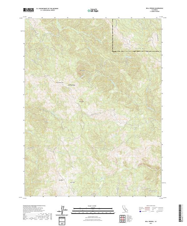 2021 Bell Springs2021 Print · USGSMendocino and Trinity counties meet along these high ridges in the early 2020s, showing a landscape of isolated ranch roads and peaks. Researchers can trace the path of Bell Springs Rd past landmarks like Camel Rock and the settlement at Bell Springs.
 - 2021 Map of Updegraff Ridge, 2021 Print
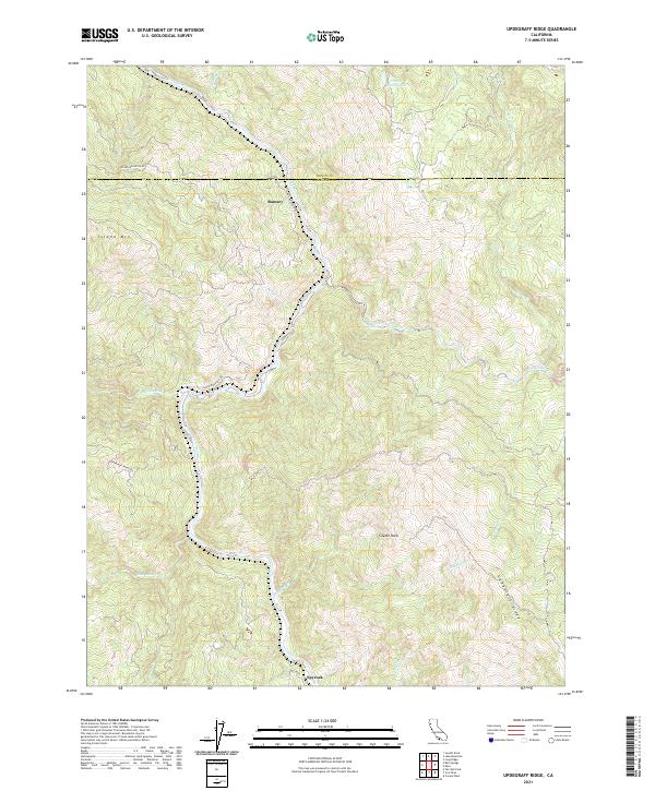 2021 Updegraff Ridge2021 Print · USGSThe Mendocino and Trinity county border comes alive in this survey of the river canyons and high ridgelines during the early 2020s. Trace the remote settlements of Island Mtn and Spyrock or follow the winding course of the Eel River.
 - 2021 Map of Mina, 2021 Print
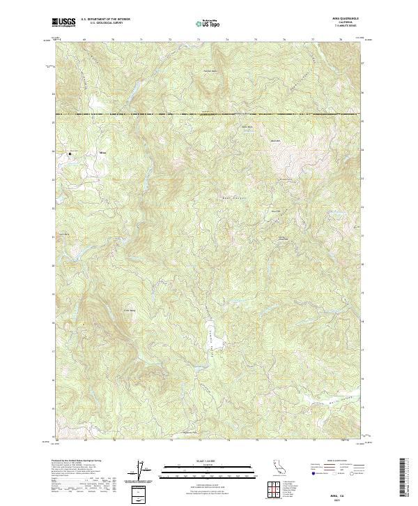 2021 Mina2021 Print · USGSThe Mendocino County backcountry at the turn of the decade is defined by the remote settlement of Mina and its surrounding mountain ridges. Researchers can trace local landmarks like the Mina Cem or follow the complex water system of the North Fork Eel River and Who Who Lake.
 - 2021 Map of Buck Rock, 2021 Print
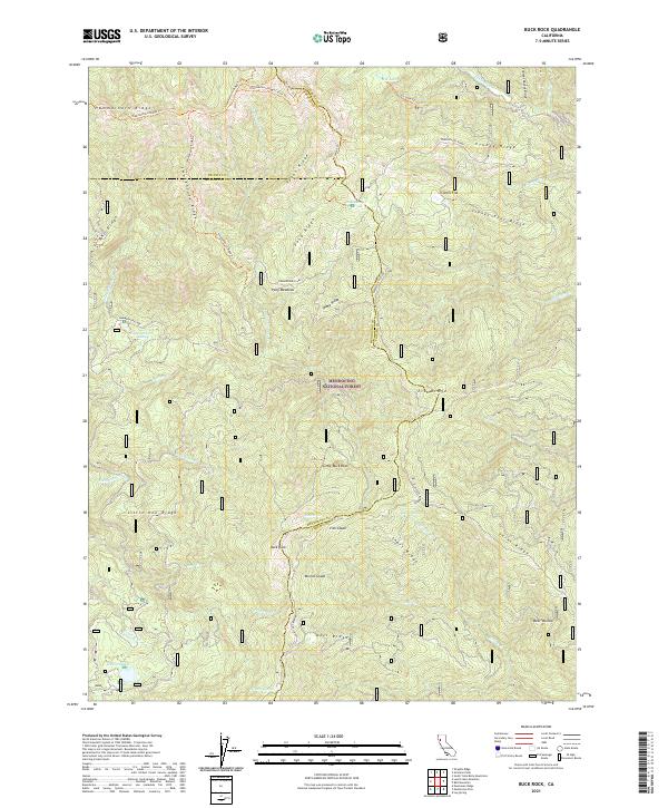 2021 Buck Rock2021 Print · USGSMendocino National Forest at the meeting of three counties in the early 2020s shows a landscape of high ridges and isolated mountain waters. Researchers can trace historic trails like the Smokehouse Ridge Trl and find named clearings such as Irish Glade and Minnie Glade.
 - 2021 Map of Zenia, 2021 Print
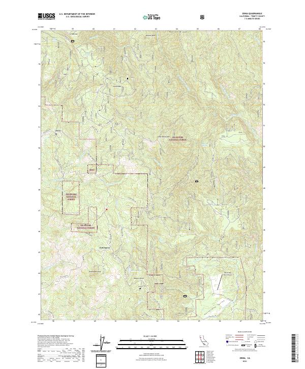 2021 Zenia2021 Print · USGSTrinity County's high ridges and river forks are captured here in the early twenty-first century, centered on the communities of Zenia and Kettenpom. Researchers can trace old family names and local landmarks like the Hyampom Cemetery, Robbers Roost, and Heller High Water Airport.
 - 2021 Map of Hyampom Mountain, 2021 Print
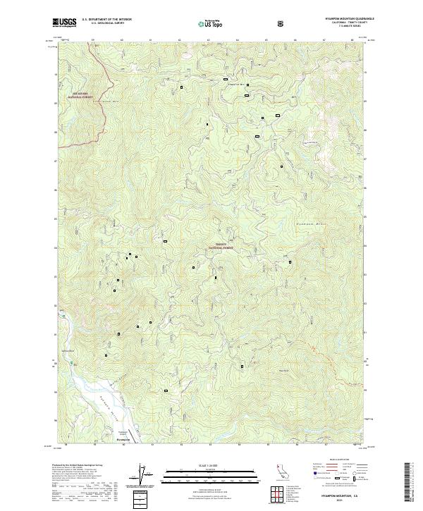 2021 Hyampom Mountain2021 Print · USGSHyampom and the surrounding Trinity County mountain wilderness are documented here in recent detail. Researchers can trace the confluence of Hayfork Creek and the Trinity River near the Hyampom Airport and Salmon Rock.
 - 2021 Map of Pony Buck Peak, 2021 Print
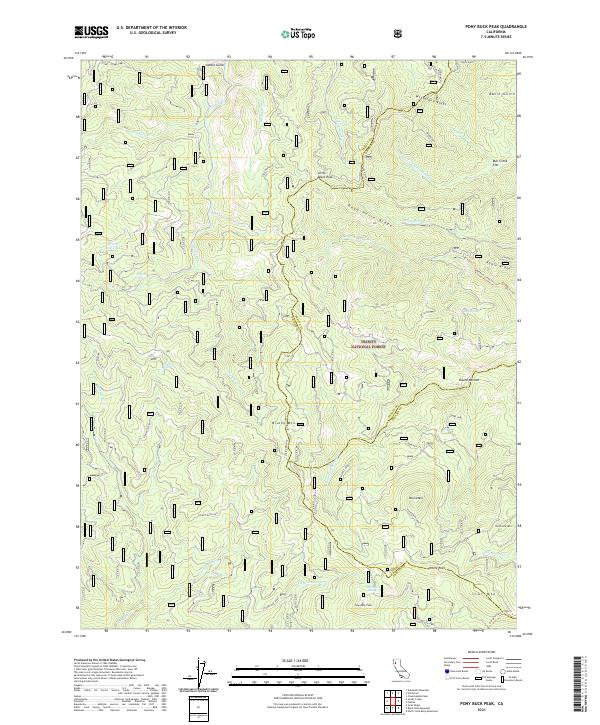 2021 Pony Buck Peak2021 Print · USGSThe wilderness of the southern Klamath Mountains is documented here in the early twenty-first century, spanning the borders of three Northern California counties. Trace remote paths like the Beegum Creek Trail or locate isolated landmarks such as Hell to Find Lake and Pony Buck Peak.
 - 2021 Map of Halfway Ridge, 2021 Print
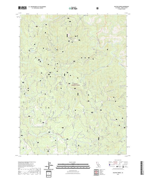 2021 Halfway Ridge2021 Print · USGSTrinity County's high ridges and national forest lands are documented here in the early twenty-first century. Researchers can trace historic access routes like the Indian Butter Trl and locate remote water sources such as Vaughn Spring and Sheep Camp Springs.
 - 2021 Map of Black Lassic, 2021 Print
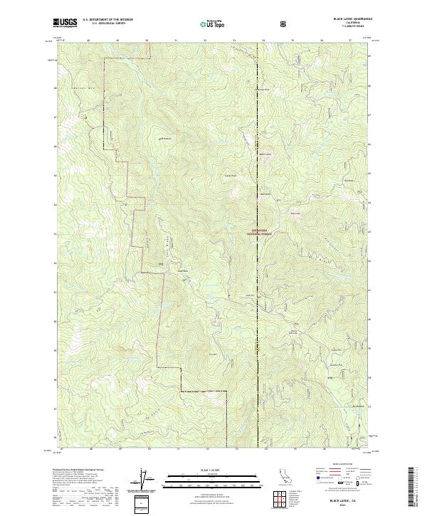 2021 Black Lassic2021 Print · USGSThe Humboldt and Trinity county borderlands are shown here in the early twenty-first century, revealing a landscape of high peaks and hidden meadows. Genealogists and researchers can trace locations like Buck Pasture, Perry Salt Log, and the waters of Big Meadows Springs.
 - 2021 Map of Covington Mill, 2021 Print
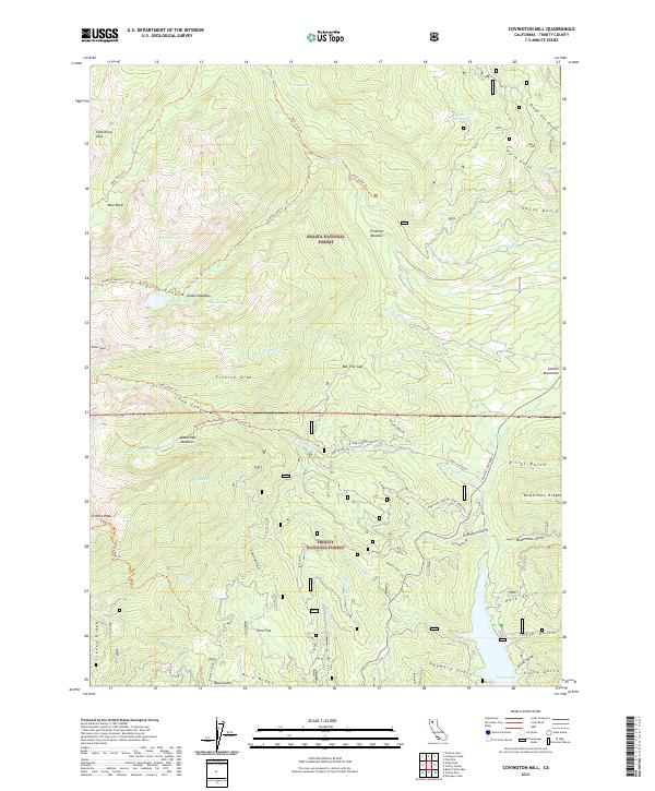 2021 Covington Mill2021 Print · USGSTrinity County at the edge of the mountains is defined by the expanse of Trinity Lake and the steep gulches of the Shasta National Forest. Trace early water infrastructure like Diener Ditch or locate remote high-altitude spots such as Elderberry Duff and Echo Flat.
 - 2021 Map of Black Rock Mountain, 2021 Print
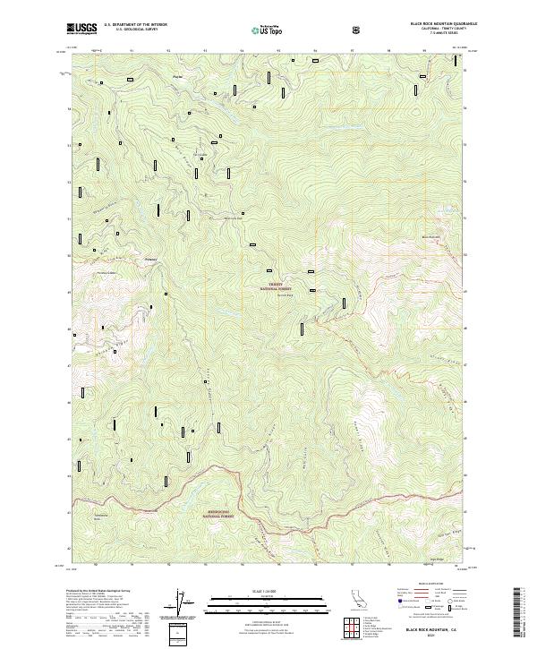 2021 Black Rock Mountain2021 Print · USGSTrinity and Mendocino National Forests meet in this modern survey of northern California's high-ridge country. Researchers can trace forest management boundaries like the Bolly Boundary or locate remote landmarks including Hermit Rock and Black Rock Lake.
 - 2021 Map of Hayfork Bally, 2021 Print
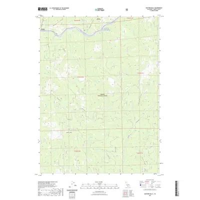 2021 Hayfork Bally2021 Print · USGSThe northern Trinity County wilderness comes alive in this contemporary survey of the river canyons and high ridges within the Trinity National Forest. Genealogists and hikers can trace remote landmarks like Rose Ranch, Love Letter Spring, and the peaks around Hayfork Bally.
 - 2021 Map of Naufus Creek, 2021 Print
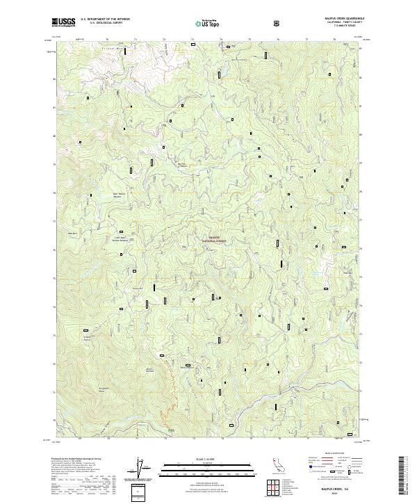 2021 Naufus Creek2021 Print · USGSTrinity County's high wilderness is documented here in the early twenty-first century as the Trinity River flows through protected forest lands. Genealogists and historians can trace old sites like Big Flat of Naufus, the Post Flume, and Petes Pasture.
 - 2021 Map of Long Ridge, 2021 Print
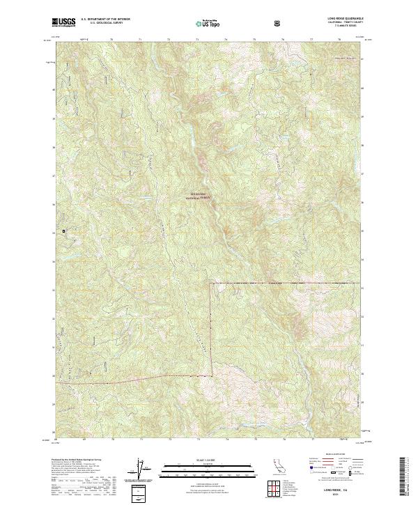 2021 Long Ridge2021 Print · USGSTrinity County's high ridges and river canyons are detailed in this recent survey of the North Coast Range. Genealogists and hikers can trace old routes like Zenia Lake Mtn Road and locate landmarks such as Schoolhouse Spring and Hayden Roughs.
 - 2021 Map of Helena, 2021 Print
 2021 Helena2021 Print · USGSTrinity County's river-cut terrain is preserved here in the twenty-first century as it winds through the Trinity National Forest. Genealogists and hikers can trace the settlement at Helena, locate the Helena Cem, or follow the high paths of the Treloar Ridge Trl.
 - 2021 Map of Hayfork, 2021 Print
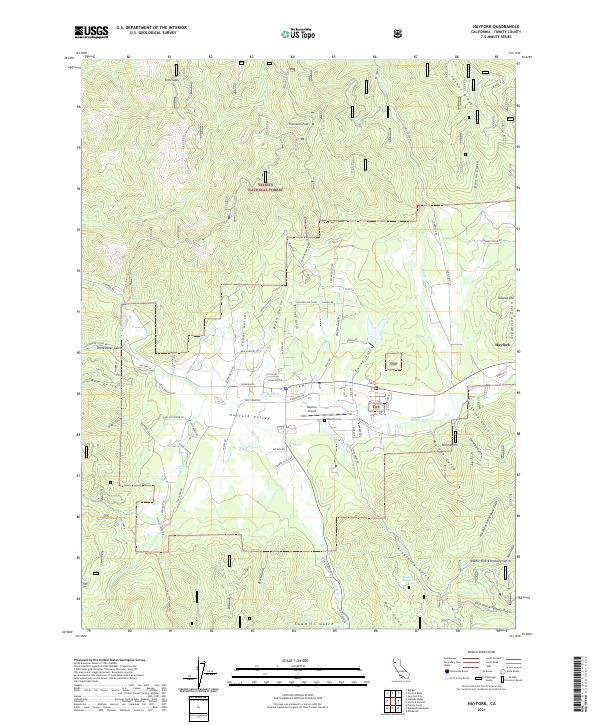 2021 Hayfork2021 Print · USGSHayfork sits at the heart of this Trinity County mountain valley as it appeared in the early 2020s. Researchers can locate specific sites like Hayfork Cem, the Hayfork Airport, and various named drainages such as Mc Covey Gulch and Sawmill Gulch.
 - 2021 Map of Four Corners Rock, 2021 Print
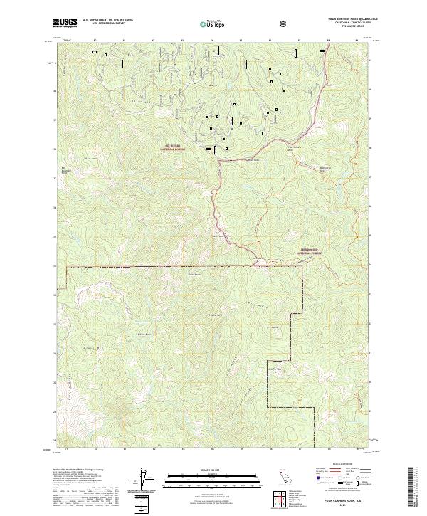 2021 Four Corners Rock2021 Print · USGSTrinity County's high ridges and national forest boundaries are meticulously documented in this recent survey. Hikers and researchers can trace remote routes like the Boundary Trl and Willow Creek Trl past landmarks such as Ant Point and Antone Lake.
 - 2021 Map of Wrights Ridge, 2021 Print
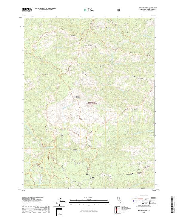 2021 Wrights Ridge2021 Print · USGSTrinity County’s wilderness remains remarkably preserved in this recent survey of the North Coast Ranges. Researchers can trace historic backcountry routes like the Haynes Delight Trl and Buck Ridge Trl through Mendocino National Forest.
 - 2021 Map of Denny, 2021 Print
 2021 Denny2021 Print · USGSDenny and its neighboring mountain outposts are shown in detail during the early 2020s amidst the high ridges of the Trinity and Six Rivers forests. Researchers can trace the path of Denny Road to Hoboken or locate historical river sites like McAtee Bar.
 - 2021 Map of Dubakella Mountain, 2021 Print
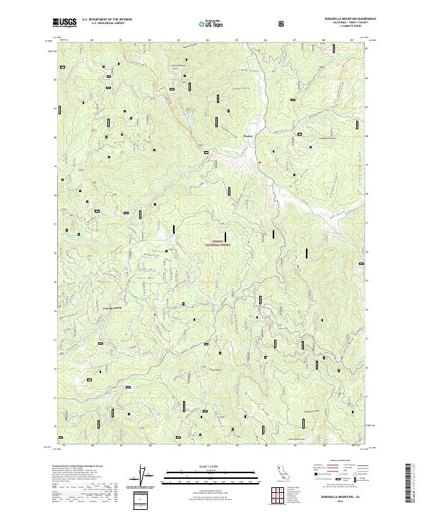 2021 Dubakella Mountain2021 Print · USGSTrinity County's high forest country is captured here in the early twenty-first century, showing the remote settlement of Peanut and the residential growth around Post Mountain. Genealogists and historians can trace local development through family-named landmarks and infrastructure like Chrome Mine Rd and Telephone Ridge.
 - 2021 Map of Ruth Lake, 2021 Print
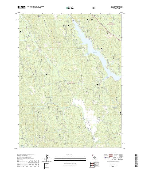 2021 Ruth Lake2021 Print · USGSTrinity County's high country is defined here by the waters of the Mad River and the isolated meadows of the national forests. Researchers can trace the geography of old mountain openings and glades like Rainey Glades, Murphy Glades, and Rutled Opening.
 - 2021 Map of Jewett Rock, 2021 Print
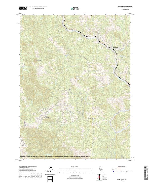 2021 Jewett Rock2021 Print · USGSThe Eel River canyon and the rugged interior of the Coast Ranges are captured here in the early twenty-first century. Researchers can trace the path of Island Mountain Rd across Walker Ridge to landmarks like Jewett Rock and the settlement of Kekawaka.
 - 2021 Map of Youngs Peak, 2021 Print
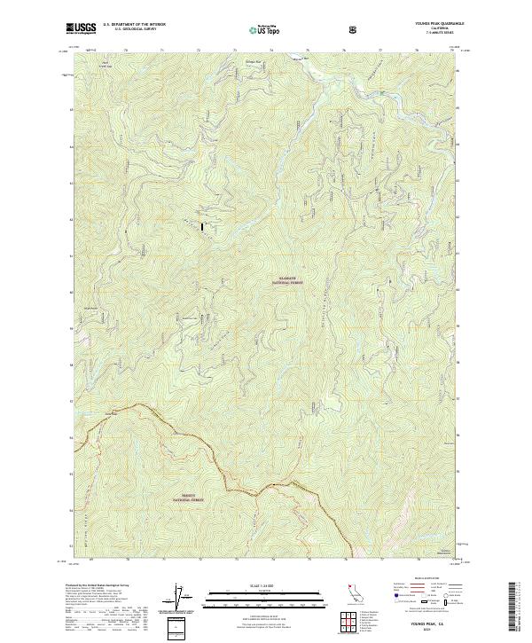 2021 Youngs Peak2021 Print · USGSSiskiyou and Trinity counties meet along the high ridges of the Salmon Mountains in this contemporary topographic survey. Researchers can trace historic mountain paths like the Salmon Summit Trl and identify landmarks like Knownothing Lake and Missouri Bar.
 - 2021 Map of Carrville, 2021 Print
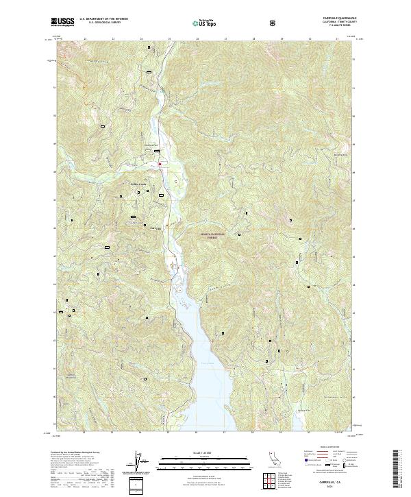 2021 Carrville2021 Print · USGSTrinity County’s rugged interior is documented here in the early twenty-first century, centered on the historic settlement of Carrville. Researchers can trace the northern extent of Trinity Lake and locate mountain landmarks like Bonanza King and Oneeyed Flat.
 - 2021 Map of Whisky Bill Peak, 2021 Print
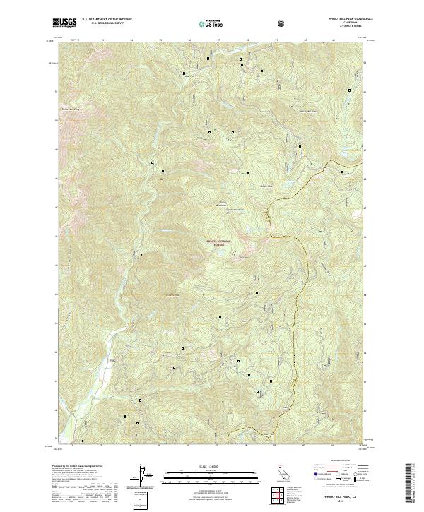 2021 Whisky Bill Peak2021 Print · USGSThe Trinity Mountains are captured in this recent survey, showing the high-altitude wilderness on the border of Trinity and Shasta counties. Researchers can trace the drainages of E Fork Trinity River and identify landmarks like Whisky Bill Peak and Bonanza King.
Showing maps 1-25 of 88
Top cities of Trinity County
- Weaverville historical maps
- Hayfork historical maps
- Lewiston historical maps
- Trinity Village historical maps
- Ruth historical maps
- Zenia historical maps
Frequently asked questions
- What are the different types of historical maps available for Trinity County?
- What is the oldest map of Trinity County?
- Where can I purchase historical maps of Trinity County for my home or office?
- Where can I download high-res historical maps of Trinity County?
- Are there historical topographic maps available for Trinity County?
- Is there historical aerial imagery available for Trinity County?
- Where are historical maps of Trinity County sourced from?