2000s (21st Century) Maps of Montezuma County, Colorado
Explore 289 historic maps of Montezuma County from the 2000s (21st Century). These maps offer a rare glimpse into what life looked like during the 2000s — showing old roads, neighborhoods, homes, and landmarks that have changed or disappeared over time.
Whether you're researching your family's past, planning a metal detecting trip, or studying how Montezuma County's landscape evolved across the 2000s, these high-resolution maps are a powerful tool for exploring the history of this region.
- Focus on a specific era: All maps on this page are from the 2000s, giving you a focused view of this time period.
- See what’s changed: Compare century-old streets, trails, and buildings to today's modern landscape using overlays and satellite layers.
- Research with precision: Use these maps for genealogy, historical research, land use analysis, or educational projects.
- View, download, or print: Maps are fully viewable online in high resolution, and can be downloaded or printed for your own records.
Start exploring Montezuma County's history through authentic maps from the 2000s. This is your window into the past.
Montezuma County, CO maps
(289)- 2010 Map of Canal Creek, 2010 Print
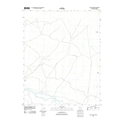 2010 Canal Creek2010 Print · USGSThe Shiprock Agency region of New Mexico and Colorado is shown here in the early twenty-first century, defined by its high desert drainages and service routes. Researchers can trace the path of the San Juan River and locate landmarks like Standing Rock and Volcano Peak.
 - 2010 Map of Sallies Spring, 2010 Print
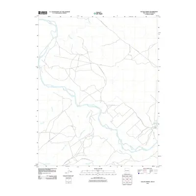 2010 Sallies Spring2010 Print · USGSThe San Juan River basin at the New Mexico and Colorado border is captured here in the early twenty-first century. Researchers can trace the intersection of ancient waterways like Beclabito Wash and Salt Wash with modern routes such as Bia Route 5113.
 - 2010 Map of Ruin Canyon, 2010 Print
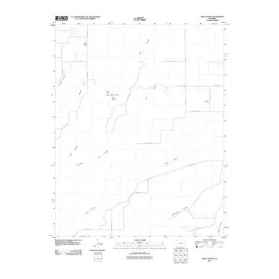 2010 Ruin Canyon2010 Print · USGSCanyons and plateaus in Montezuma County are mapped here in the early twenty-first century, showing a landscape shaped by both nature and industry. Researchers can find old mining sites like the Yellow Lizard Mine and Roberta Jean Mine, or trace family roots near Sylvan Cemetery.
 - 2010 Map of Arriola, 2010 Print
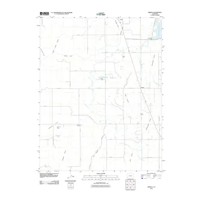 2010 Arriola2010 Print · USGSMontezuma County's high-plateau agriculture is on full display here in the early twenty-first century, showing the intricate network of canals and reservoirs that sustain the region. Genealogists and historians can locate the Arriola Cemetery, the community of Lewis, and archaeological sites like the Goodman Point Group.
 - 2010 Map of Sentinel Peak SW, 2010 Print
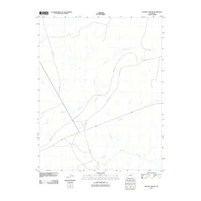 2010 Sentinel Peak SW2010 Print · USGSMontezuma County at the dawn of the 2010s reveals a land shaped by its hydrology and dedicated transit corridors. Researchers can trace the winding course of the Mancos River and identify local travel routes like Indian Rte-237 and Cowboy Wash.
 - 2010 Map of Mariano Wash East, 2010 Print
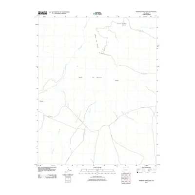 2010 Mariano Wash East2010 Print · USGSThe high desert of southwestern Colorado is revealed here during the early twenty-first century, centered on the tribal geography of the Ute people. Researchers can trace the drainages of Mariano Wash and Cowboy Wash or locate specific landmarks like The Knees and the Sundance Ground.
 - 2010 Map of Bowdish Canyon, 2010 Print
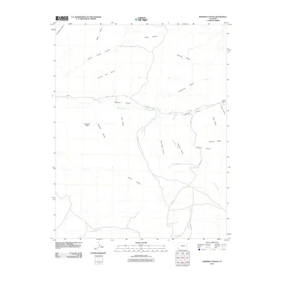 2010 Bowdish Canyon2010 Print · USGSMontezuma County at the start of the 2010s reveals a high-desert landscape of mesas and deep-cut drainages. Trace the rugged path of McElmo Creek and explore the vast reaches of Cannon Ball Mesa and Hovenweep Canyon.
 - 2010 Map of Wetherill Mesa, 2010 Print
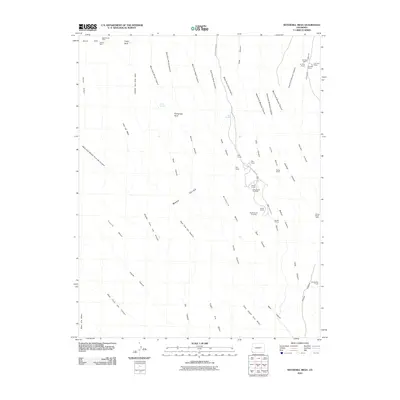 2010 Wetherill Mesa2010 Print · USGSMontezuma County at the turn of the twenty-first century reveals a landscape defined by ancestral dwellings and deep canyon systems. Archeological sites like Long House and Step House can be traced alongside landmarks such as Pictograph Point and the Mesa Verde Mine.
 - 2010 Map of Moccasin Mesa, 2010 Print
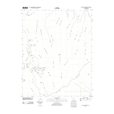 2010 Moccasin Mesa2010 Print · USGSMesa Verde National Park in the early 21st century reveals a landscape dense with ancestral sites and archaeological landmarks. Researchers can trace the proximity of famous ruins like Cliff Palace and Spruce Tree House alongside remote features such as Casa Colorado and Nordenskiold House.
 - 2010 Map of Champagne Spring, 2010 Print
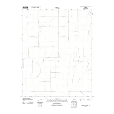 2010 Champagne Spring2010 Print · USGSMontezuma County plateau lands are captured here in the early twenty-first century, showing the intersection of ranching roads and dramatic canyon geography. Trace the rugged terrain from Champagne Spring to the deep recesses of Cross Canyon and Squaw Canyon.
 - 2010 Map of Mariano Wash West, 2010 Print
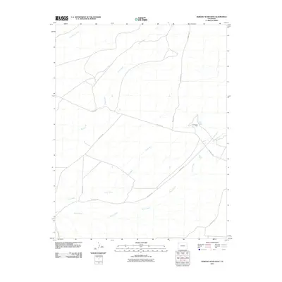 2010 Mariano Wash West2010 Print · USGSMontezuma County's high desert landscape is documented here in the early 2000s, showing a complex system of drainage washes and tribal routes. Researchers can trace the path of Mariano Wash, the infrastructure of the Landsat A-1 Dam, and the intersection of Indian Rte-233.
 - 2010 Map of Sentinel Peak SE, 2010 Print
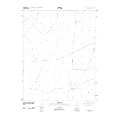 2010 Sentinel Peak SE2010 Print · USGSMontezuma County at the turn of the millennium reveals a desert landscape defined by traditional routes and vital drainages. Researchers can trace land use patterns along the Mancos River and identify local landmarks like Chimney Rock Draw and Ute Farm Rd.
 - 2010 Map of Battle Rock, 2010 Print
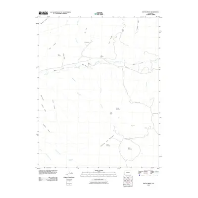 2010 Battle Rock2010 Print · USGSMontezuma County, Colorado, is seen here in the early twenty-first century as a land of deep canyons and isolated mining history. Researchers can trace rural legacy through sites like Lamb Cemetery and numerous workings including the Little Maude Mine and Battle Rock Mine.
 - 2010 Map of Cortez, 2010 Print
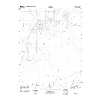 2010 Cortez2010 Print · USGSThe city of Cortez and the northern cliffs of Mesa Verde are captured in this 2010 survey of southwestern Colorado. Local historians and genealogists can trace mining family sites like the Wilson Mines or Mowry Mine and locate the Cortez Cemetery.
 - 2010 Map of Negro Canyon, 2010 Print
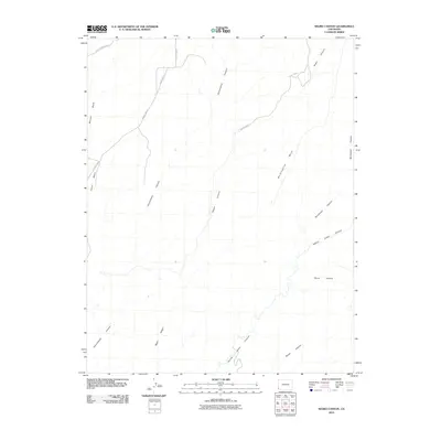 2010 Negro Canyon2010 Print · USGSMontezuma County in the early twenty-first century reveals a landscape defined by dramatic mesa and canyon geology. Researchers can trace the winding paths of Hovenweep Canyon and Yellow Jacket Canyon alongside routes like County Hwy-10.
 - 2010 Map of Towaoc, 2010 Print
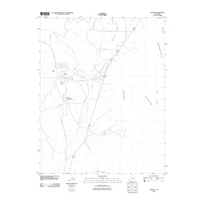 2010 Towaoc2010 Print · USGSTowaoc and the Montezuma Valley are captured here during the first decade of the 21st century. Researchers can trace the community layout near the Ute Mountain Tribal Cemetery and locate local landmarks like the Towaoc Mine and Navajo Spring.
 - 2010 Map of Woods Canyon, 2010 Print
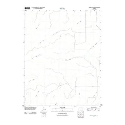 2010 Woods Canyon2010 Print · USGSMontezuma County at the start of the twenty-first century is a landscape of high plateaus and carved drainages. Map collectors can trace the paths of Woods Canyon and Yellow Jacket Canyon or locate land features like Moqui Lake and Goodman Point.
 - 2010 Map of Greasewood Canyon, 2010 Print
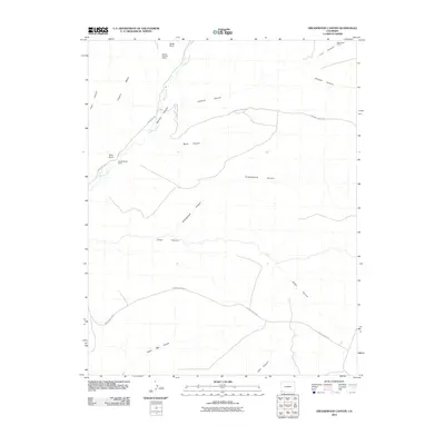 2010 Greasewood Canyon2010 Print · USGSArchaeological sites and steep mesa country define this Colorado landscape during the early 2010s. Researchers can locate prehistoric structures like Sixteen Window House and Double Walled Tower tucked away in Greasewood Canyon.
 - 2010 Map of Cahone, 2010 Print
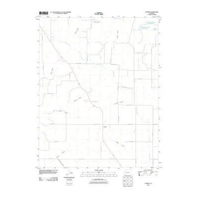 2010 Cahone2010 Print · USGSCahone and the surrounding high-desert plateau of Dolores County are shown here as they appeared in the early 21st century. Researchers can trace the complex water systems of the Dove Creek Canal and find local landmarks like the Mel Dalton Number One Reservoir and Cahone Canyon.
 - 2010 Map of Moqui Canyon, 2010 Print
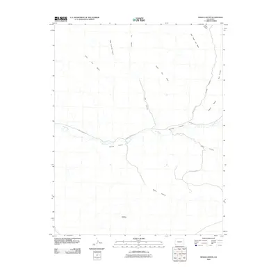 2010 Moqui Canyon2010 Print · USGSMontezuma County at the start of the 2010s reveals a landscape of high mesas and carved drainages. You can trace the path of the Mancos River or locate industrial sites like the Shiprock Group Mine and the winding Mancos Canyon Rd.
 - 2010 Map of Skinney Rock, 2010 Print
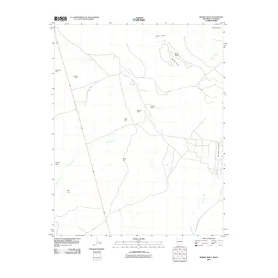 2010 Skinney Rock2010 Print · USGSNorthwestern New Mexico's volcanic landscape and energy infrastructure are captured here during the first decade of the millennium. Researchers can locate remote petroleum sites like the Horseshoe Gallup Oil Field and landmarks like Volcano Peak or the Big Horse Trail Draw.
 - 2010 Map of Tanner Mesa, 2010 Print
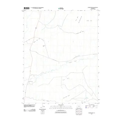 2010 Tanner Mesa2010 Print · USGSMontezuma County's high mesa country and deep canyons are detailed in this 2010 survey of the Colorado desert. Researchers can trace the path of the Mancos River past the Mancos River Trading Post and identify local landmarks like Chimney Rock and Tanner Reservoir.
 - 2010 Map of Pleasant View, 2010 Print
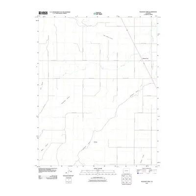 2010 Pleasant View2010 Print · USGSThe high plateau of Montezuma County is captured here in the early twenty-first century, showing a landscape defined by deep canyons and irrigation. Researchers can trace the layout of Pleasant View and locate the Cliff House Group Mine near Sandstone Canyon.
 - 2010 Map of Mud Creek, 2010 Print
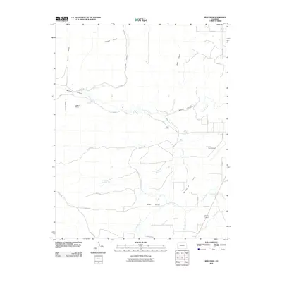 2010 Mud Creek2010 Print · USGSMontezuma County at the start of the millennium reveals a landscape defined by desert canyons and vital irrigation networks. Genealogists and local historians can locate Majors Cemetery and trace the paths of the Highline Ditch or Navajo Wash.
 - 2010 Map of Heifer Point, 2010 Print
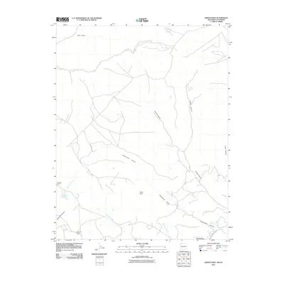 2010 Heifer Point2010 Print · USGSSan Juan County, New Mexico, is documented here in the early twenty-first century, showing a high-desert landscape shaped by seasonal arroyos and remote ranching. Researchers can locate critical water sources like Lost Lake Reservoir and Navajo Spring, or trace the paths of Cottonwood Canyon and Indian Service Route 205.
Showing maps 1-25 of 289
Top cities of Montezuma County
Frequently asked questions
- What are the different types of historical maps available for Montezuma County?
- What is the oldest map of Montezuma County?
- Where can I purchase historical maps of Montezuma County for my home or office?
- Where can I download high-res historical maps of Montezuma County?
- Are there historical topographic maps available for Montezuma County?
- Is there historical aerial imagery available for Montezuma County?
- Where are historical maps of Montezuma County sourced from?