2020s Maps of Montezuma County, Colorado
Explore 68 historic maps of Montezuma County from the 2020s. These maps offer a rare glimpse into what life looked like during the 2020s — showing old roads, neighborhoods, homes, and landmarks that have changed or disappeared over time.
Whether you're researching your family's past, planning a metal detecting trip, or studying how Montezuma County's landscape evolved across the 2020s, these high-resolution maps are a powerful tool for exploring the history of this region.
- Focus on a specific era: All maps on this page are from the 2020s, giving you a focused view of this time period.
- See what’s changed: Compare century-old streets, trails, and buildings to today's modern landscape using overlays and satellite layers.
- Research with precision: Use these maps for genealogy, historical research, land use analysis, or educational projects.
- View, download, or print: Maps are fully viewable online in high resolution, and can be downloaded or printed for your own records.
Start exploring Montezuma County's history through authentic maps from the 2020s. This is your window into the past.
Montezuma County, CO maps
(68)- 2020 Map of Canal Creek, 2020 Print
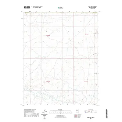 2020 Canal Creek2020 Print · USGSThe high desert borderlands between New Mexico and Colorado are captured here in the modern era. Researchers can trace the path of the San Juan River and locate geological landmarks like Standing Rock and Volcano Peak.
 - 2020 Map of Skinney Rock, 2020 Print
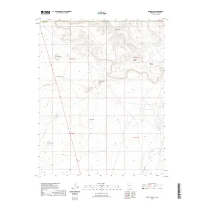 2020 Skinney Rock2020 Print · USGSThis high-plateau borderland between Colorado and New Mexico is defined by its distinct geological landmarks and essential desert springs. Trace the historic pathways along Indian Svc Rte 5091 to find unique natural features like Skinney Rock, Pouch Spring, and Black Cone.
 - 2020 Map of Palmer Mesa, 2020 Print
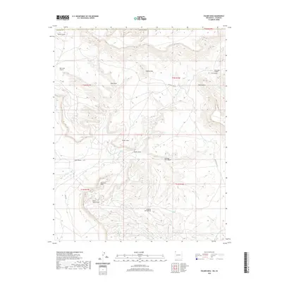 2020 Palmer Mesa2020 Print · USGSThe Shiprock Agency area in San Juan County is shown here in the contemporary era as a complex network of high mesas and deep canyons. Researchers can trace the rugged geography of Palmer Mesa, the iconic Monument Rocks, and vital water points like Sunshine Spring.
 - 2020 Map of Sallies Spring, 2020 Print
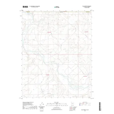 2020 Sallies Spring2020 Print · USGSThe high-desert borderlands of New Mexico and Colorado are mapped here in the late twenty-teens, showing the confluence of the San Juan River and Mancos River. Trace the networks of Indian Svc Rte 5038 and the seasonal paths of Salt Wash.
 - 2020 Map of Heifer Point, 2020 Print
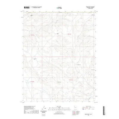 2020 Heifer Point2020 Print · USGSSan Juan County in the modern era is defined by its dramatic high-desert hydrology and seasonal arroyos. Researchers can trace historic water sources like Navajo Spring and Lost Lake Reservoir or follow the route of Indian Svc Rte 205 through the canyonlands.
 - 2020 Map of Wickiup Canyon, 2020 Print
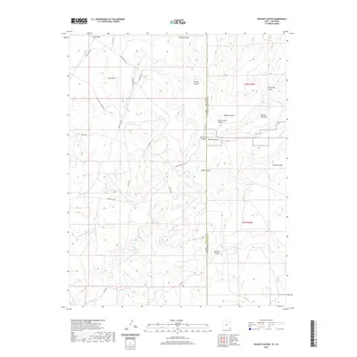 2020 Wickiup Canyon2020 Print · USGSCajon Mesa sits at the intersection of Utah and Colorado in this recent topographical study of the Four Corners high desert. Researchers can trace the rugged drainage patterns of McElmo Cr and find old routes like Ismay Trading Post Rd and Indian Rte 5067.
 - 2020 Map of Yellow Rock Point East, 2020 Print
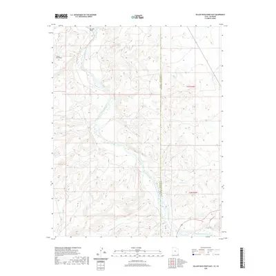 2020 Yellow Rock Point East2020 Print · USGSThe Utah and Colorado borderlands meet along the river in the late twenty-teens. Researchers can trace the winding San Juan River as it passes through the San Juan Valley and past Yellow Rock Point.
 - 2020 Map of Papoose Canyon, 2020 Print
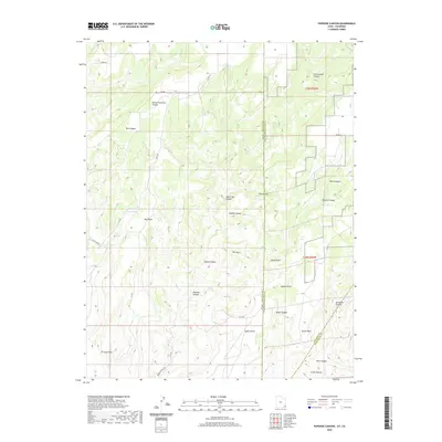 2020 Papoose Canyon2020 Print · USGSMontezuma County and the Utah borderlands are shown in this contemporary survey of a high-desert canyon system. Researchers can trace the winding paths of Nancy Patterson Canyon, locate Tucker Spring, and identify landmarks like Tin Cup Mesa.
 - 2020 Map of Peters Nipple, 2020 Print
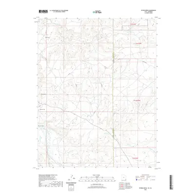 2020 Peters Nipple2020 Print · USGSThe high desert along the Utah-Colorado border comes into focus in this late twenty-first-century survey of the Shiprock Agency. Local historians can trace the paths of East Mc Elmo Creek and Marble Wash near landmarks like Peters Nipple.
 - 2020 Map of Ruin Point, 2020 Print
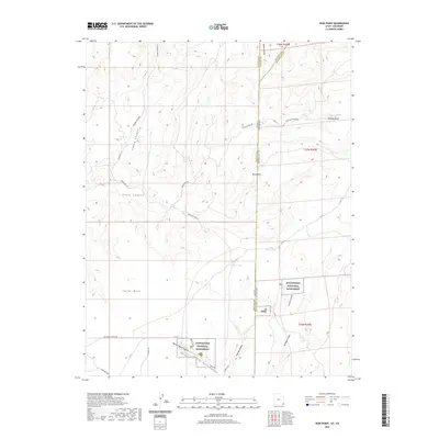 2020 Ruin Point2020 Print · USGSMontezuma County and the high desert of the Four Corners are seen here in this recent topographic survey. Researchers can trace the protected grounds of Hovenweep National Monument and locate landmarks like Ruin Point and Cajon Lake.
 - 2021 Map of Teec Nos Pos, 2021 Print
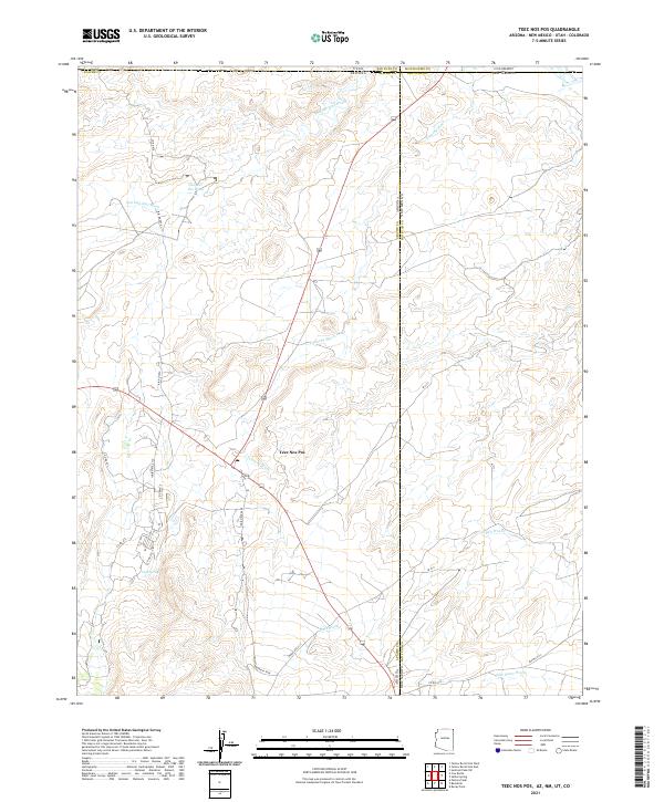 2021 Teec Nos Pos2021 Print · USGSThe Four Corners region comes into focus during this 2021 survey of the Arizona and New Mexico borderlands. Researchers can trace the modern road network and desert water sources like Goat Spring, Tohache Wash, and the settlement of Teec Nos Pos.
 - 2022 Map of Tanner Mesa, 2022 Print
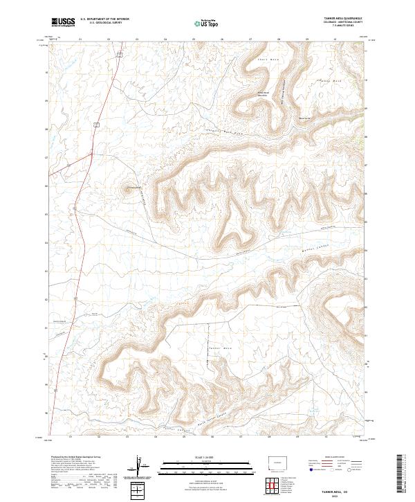 2022 Tanner Mesa2022 Print · USGSMontezuma County landscape at the start of the 2020s shows a terrain defined by deep river valleys and high plateaus. Trace the path of the Mancos River past Chimney Rock or locate remote water sources like Wing Spring and Tanner Reservoir.
 - 2022 Map of Trimble Point, 2022 Print
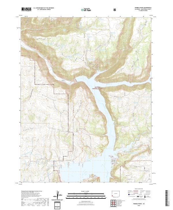 2022 Trimble Point2022 Print · USGSMontezuma County, Colorado, is shown here in the early twenty-first century as a landscape defined by forest management and massive water projects. Researchers can trace the modern shoreline of McPhee Reservoir and locate upland features like Trimble Point and Log Camp Spring.
 - 2022 Map of Woods Canyon, 2022 Print
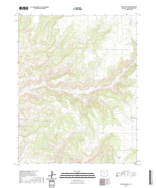 2022 Woods Canyon2022 Print · USGSMontezuma County's high plateau and deep canyons are documented here in the early twenty-first century. Researchers can trace the rugged topography around Goodman Point or follow the paths of Yellow Jacket Canyon and the Sand Canyon Trl.
 - 2022 Map of Elk Creek, 2022 Print
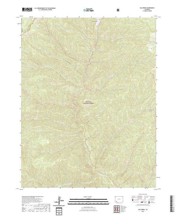 2022 Elk Creek2022 Print · USGSThe high backcountry of the San Juan Mountains is captured here in the early 2020s, revealing a landscape defined by the Continental Divide and deep creek drainages. Trace the historic paths of the Hermosa Creek Trl and Corral Draw Trl through Blind Canyon and the meadows of Hermosa Park.
 - 2022 Map of Rampart Hills, 2022 Print
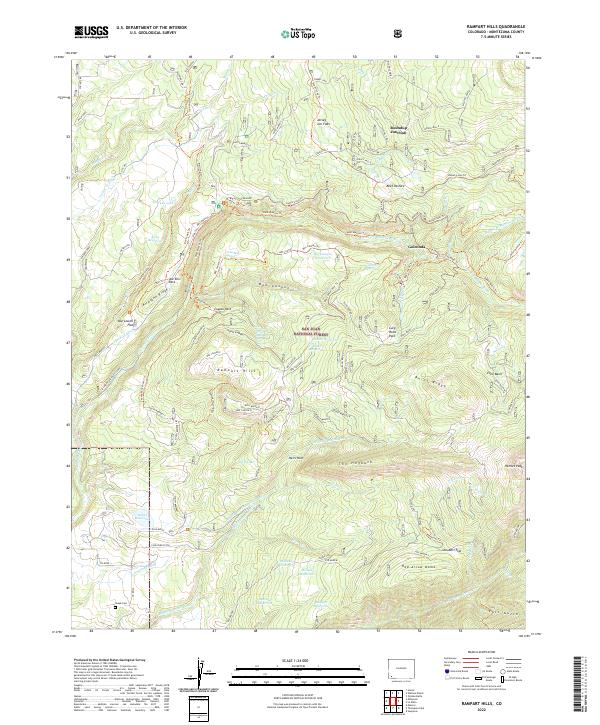 2022 Rampart Hills2022 Print · USGSThe high country of Montezuma County is mapped here in recent decades, showing the intricate water systems and forest roads of the San Juan National Forest. Genealogists and researchers can locate the Sheek Cem or trace the early paths around Golconda and Doc Lowell Flat.
 - 2022 Map of Point Lookout, 2022 Print
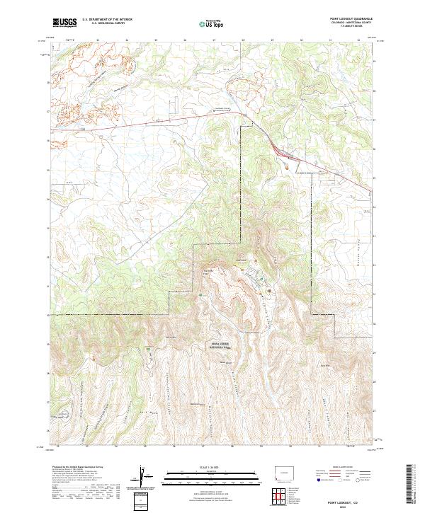 2022 Point Lookout2022 Print · USGSMontezuma County at the entrance to the high mesas shows a landscape defined by deep canyons and modern recreation. Researchers can trace the trails and terrain of Mesa Verde National Park, from The Knife Edge to Morefield Canyon.
 - 2022 Map of Wallace Ranch, 2022 Print
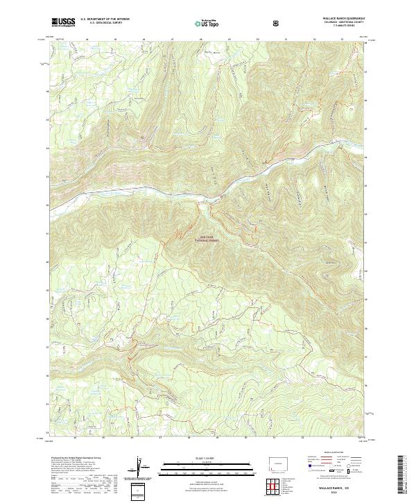 2022 Wallace Ranch2022 Print · USGSMontezuma County high country is shown in this recent survey of the Dolores River corridor. Researchers can trace historical industrial sites like the Clampett Mill and water systems including Bauer Reservoir and Siphon Spring.
 - 2022 Map of Mormon Reservoir, 2022 Print
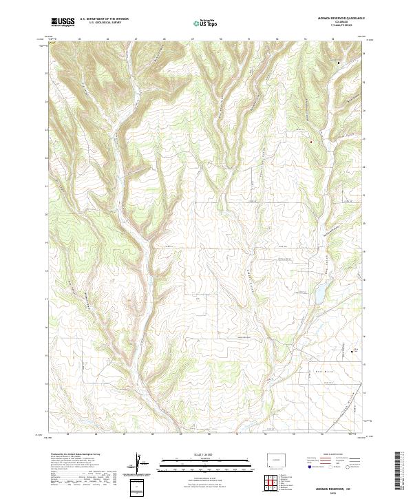 2022 Mormon Reservoir2022 Print · USGSThe high mesa country of La Plata County comes into focus in the early twenty-first century, showing a landscape defined by deep canyons and ranching life. Genealogists can locate the Hay Gulch Cem and Kline Cem, or trace family routes along Land Grant Ln and Red Mesa.
 - 2022 Map of Doe Canyon, 2022 Print
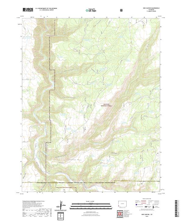 2022 Doe Canyon2022 Print · USGSThe Dolores River headwaters and San Juan National Forest are captured here in the early twenty-first century. Researchers can trace land use through specific water features like Rabit Hash Reservoir and family-named points such as Ormiston Point.
 - 2022 Map of Millwood, 2022 Print
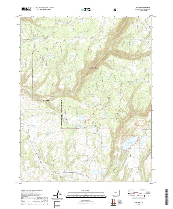 2022 Millwood2022 Print · USGSMontezuma County's mountain landscape is captured here in the modern era, showing the intersection of forest management and water engineering. Researchers can trace the extensive irrigation network through Jackson Gulch Reservoir, Joe Moore Reservoir Campground, and the high-elevation Turkey Creek Trail.
 - 2022 Map of Bowdish Canyon, 2022 Print
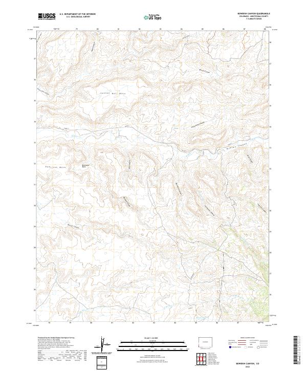 2022 Bowdish Canyon2022 Print · USGSIn the high desert of Montezuma County during the early twenty-first century, this map captures a landscape of deep canyons and mesas. Researchers can trace the drainage of McElmo Canyon and identify landmarks like Cannon Ball Mesa and Hamilton Mesa.
 - 2022 Map of Wetherill Mesa, 2022 Print
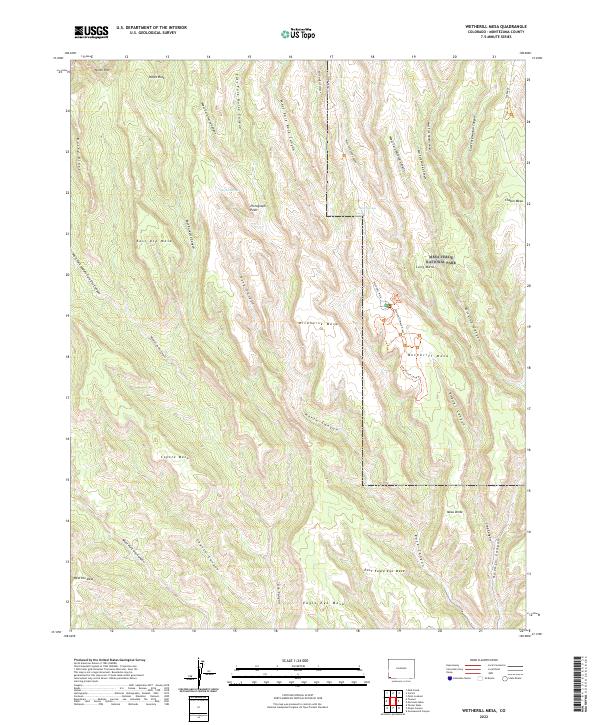 2022 Wetherill Mesa2022 Print · USGSMontezuma County at the dawn of the 2020s shows the highly protected and surveyed landscape of the high desert mesas. Researchers can trace the modern footpaths and canyon networks of Mesa Verde National Park, including the Long House Loop Trl and the remote Horse Springs.
 - 2022 Map of Rico, 2022 Print
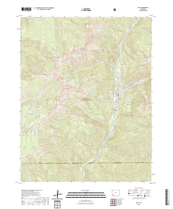 2022 Rico2022 Print · USGSThe high peaks and mining claims of the San Juan Mountains surround Rico in this recent survey. Historians and hikers can trace the Aztec Mine, locate the Rico Cem, and follow the historic path of the Rgs Winter Trl along the river.
 - 2022 Map of Cortez, 2022 Print
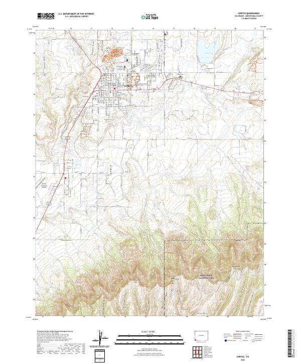 2022 Cortez2022 Print · USGSCortez and the northern reaches of the Colorado high desert are captured here in the early twenty-first century. Researchers can trace the civic layout of the city near the Montezuma County Courthouse or explore the rugged canyon boundaries of Mesa Verde National Park.
Showing maps 1-25 of 68
Top cities of Montezuma County
Frequently asked questions
- What are the different types of historical maps available for Montezuma County?
- What is the oldest map of Montezuma County?
- Where can I purchase historical maps of Montezuma County for my home or office?
- Where can I download high-res historical maps of Montezuma County?
- Are there historical topographic maps available for Montezuma County?
- Is there historical aerial imagery available for Montezuma County?
- Where are historical maps of Montezuma County sourced from?