2000s (21st Century) Maps of Holmes County, Florida
Explore 80 historic maps of Holmes County from the 2000s (21st Century). These maps offer a rare glimpse into what life looked like during the 2000s — showing old roads, neighborhoods, homes, and landmarks that have changed or disappeared over time.
Whether you're researching your family's past, planning a metal detecting trip, or studying how Holmes County's landscape evolved across the 2000s, these high-resolution maps are a powerful tool for exploring the history of this region.
- Focus on a specific era: All maps on this page are from the 2000s, giving you a focused view of this time period.
- See what’s changed: Compare century-old streets, trails, and buildings to today's modern landscape using overlays and satellite layers.
- Research with precision: Use these maps for genealogy, historical research, land use analysis, or educational projects.
- View, download, or print: Maps are fully viewable online in high resolution, and can be downloaded or printed for your own records.
Start exploring Holmes County's history through authentic maps from the 2000s. This is your window into the past.
Holmes County, FL maps
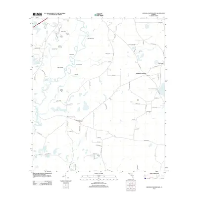
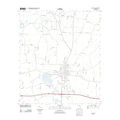
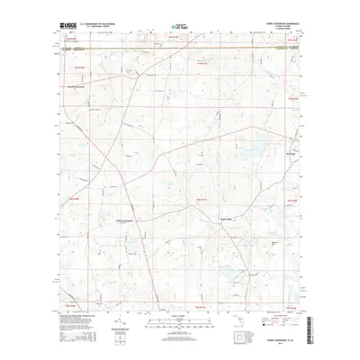
(80)- 2012 Map of Glendale, 2012 Print
 2012 Glendale2012 Print · USGSCovers Holmes County, including DeFuniak Springs, Center Ridge, and other nearby areas
 - 2012 Map of De Funiak Springs East, 2012 Print
 2012 De Funiak Springs East2012 Print · USGSCovers Holmes County, including DeFuniak Springs, Argyle, and other nearby areas
 - 2012 Map of Darlington, 2012 Print
 2012 Darlington2012 Print · USGSCovers Holmes County, including Leonia, Darlington, and other nearby areas
 - 2012 Map of Hinsons Crossroads, 2012 Print
 2012 Hinsons Crossroads2012 Print · USGSCovers Holmes County, including Westville, Five Points, and other nearby areas
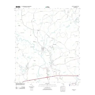
 - 2012 Map of Chipley, 2012 Print
 2012 Chipley2012 Print · USGSCovers Holmes County, including Chipley, Bahoma, and other nearby areas
 - 2012 Map of Ponce de Leon, 2012 Print
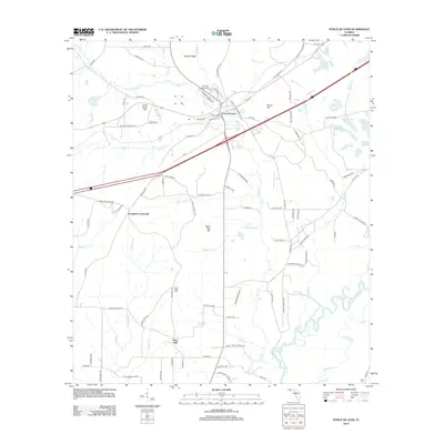 2012 Ponce de Leon2012 Print · USGSCovers Holmes County, including Ponce de Leon, Knox Hill, and other nearby areas
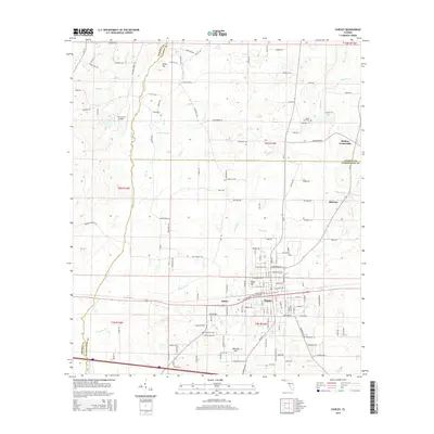
 - 2012 Map of Caryville, 2012 Print
 2012 Caryville2012 Print · USGSCovers Holmes County, including Caryville, Westville, and other nearby areas
 - 2012 Map of Wausau, 2012 Print
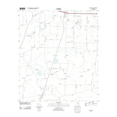 2012 Wausau2012 Print · USGSCovers Holmes County, including Chipley, Wausau, and other nearby areas
 - 2012 Map of Hobbs Crossroads, 2012 Print
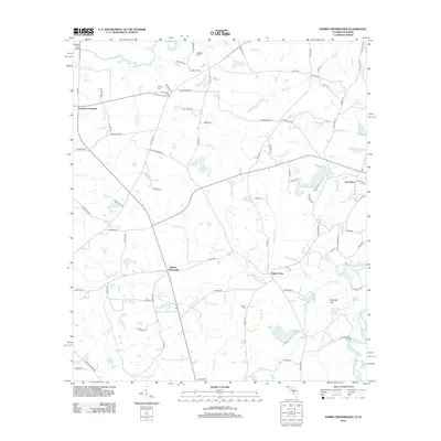 2012 Hobbs Crossroads2012 Print · USGSCovers Holmes County, including Royals Crossroads, Hobbs Crossroads, and other nearby areas
 - 2012 Map of Prosperity, 2012 Print
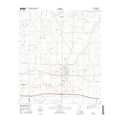
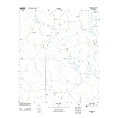 2012 Prosperity2012 Print · USGSCovers Holmes County, including Bounds Crossing, Bayou Crossing, and other nearby areas
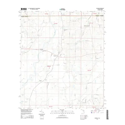
 - 2012 Map of Esto, 2012 Print
 2012 Esto2012 Print · USGSCovers Holmes County, including Esto, Black, and other nearby areas
 - 2012 Map of Poplar Head, 2012 Print
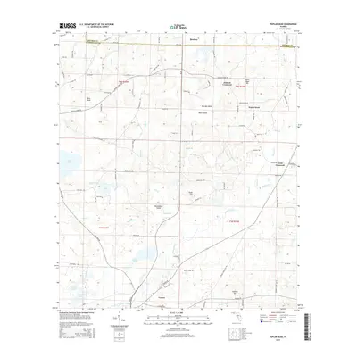
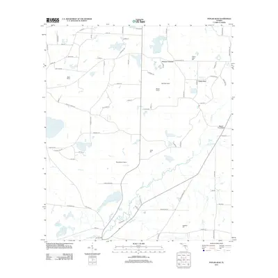 2012 Poplar Head2012 Print · USGSCovers Holmes County, including Vernon, Brock Crossroad, and other nearby areas
 - 2012 Map of Izagora, 2012 Print
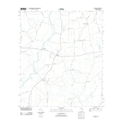 2012 Izagora2012 Print · USGSCovers Holmes County, including Black, Smith Crossroads, and other nearby areas
 - 2012 Map of Bonifay, 2012 Print
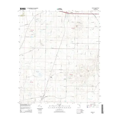
 2012 Bonifay2012 Print · USGSCovers Holmes County, including Bonifay, Hoover Mill, and other nearby areas
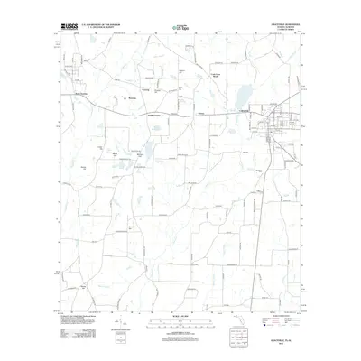
 - 2012 Map of Graceville, 2012 Print
 2012 Graceville2012 Print · USGSCovers Holmes County, including Graceville, Noma, and other nearby areas
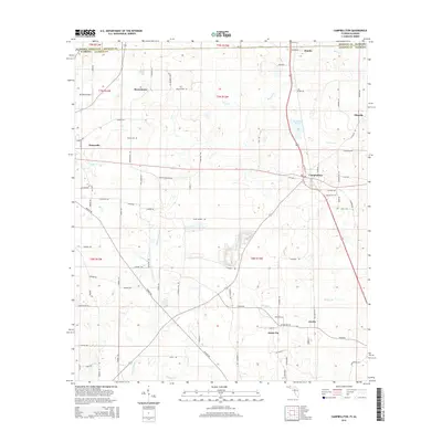
 - 2012 Map of Campbellton, 2012 Print
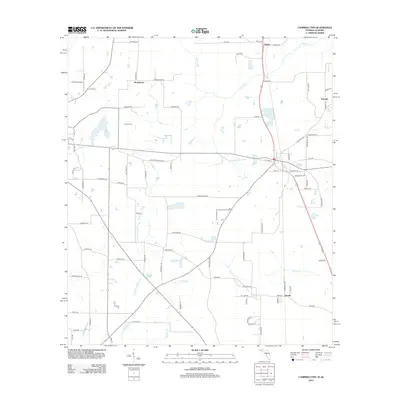 2012 Campbellton2012 Print · USGSCovers Holmes County, including Graceville, Jacob City, and other nearby areas
 - 2015 Map of Izagora, 2015 Print
 2015 Izagora2015 Print · USGSCovers Holmes County, including Black, Smith Crossroads, and other nearby areas
 - 2015 Map of Hobbs Crossroads, 2015 Print
 2015 Hobbs Crossroads2015 Print · USGSCovers Holmes County, including Royals Crossroads, Hobbs Crossroads, and other nearby areas
 - 2015 Map of Prosperity, 2015 Print
 2015 Prosperity2015 Print · USGSCovers Holmes County, including Bounds Crossing, Bayou Crossing, and other nearby areas
 - 2015 Map of Wausau, 2015 Print
 2015 Wausau2015 Print · USGSCovers Holmes County, including Chipley, Wausau, and other nearby areas
 - 2015 Map of Campbellton, 2015 Print
 2015 Campbellton2015 Print · USGSCovers Holmes County, including Graceville, Jacob City, and other nearby areas
 - 2015 Map of Poplar Head, 2015 Print
 2015 Poplar Head2015 Print · USGSCovers Holmes County, including Vernon, Brock Crossroad, and other nearby areas
 - 2015 Map of Glendale, 2015 Print
 2015 Glendale2015 Print · USGSCovers Holmes County, including DeFuniak Springs, Center Ridge, and other nearby areas
 - 2015 Map of Bonifay, 2015 Print
 2015 Bonifay2015 Print · USGSCovers Holmes County, including Bonifay, Hoover Mill, and other nearby areas
 - 2015 Map of Chipley, 2015 Print
 2015 Chipley2015 Print · USGSCovers Holmes County, including Chipley, Bahoma, and other nearby areas
Showing maps 1-25 of 80
Top cities of Holmes County
- Bonifay historical maps
- Ponce de Leon historical maps
- Esto historical maps
- Westville historical maps
- Noma historical maps
Frequently asked questions
- What are the different types of historical maps available for Holmes County?
- What is the oldest map of Holmes County?
- Where can I purchase historical maps of Holmes County for my home or office?
- Where can I download high-res historical maps of Holmes County?
- Are there historical topographic maps available for Holmes County?
- Is there historical aerial imagery available for Holmes County?
- Where are historical maps of Holmes County sourced from?