2010s Maps of Holmes County, Florida
Explore 48 historic maps of Holmes County from the 2010s. These maps offer a rare glimpse into what life looked like during the 2010s — showing old roads, neighborhoods, homes, and landmarks that have changed or disappeared over time.
Whether you're researching your family's past, planning a metal detecting trip, or studying how Holmes County's landscape evolved across the 2010s, these high-resolution maps are a powerful tool for exploring the history of this region.
- Focus on a specific era: All maps on this page are from the 2010s, giving you a focused view of this time period.
- See what’s changed: Compare century-old streets, trails, and buildings to today's modern landscape using overlays and satellite layers.
- Research with precision: Use these maps for genealogy, historical research, land use analysis, or educational projects.
- View, download, or print: Maps are fully viewable online in high resolution, and can be downloaded or printed for your own records.
Start exploring Holmes County's history through authentic maps from the 2010s. This is your window into the past.
Holmes County, FL maps
(48)- 2012 Map of Glendale, 2012 Print
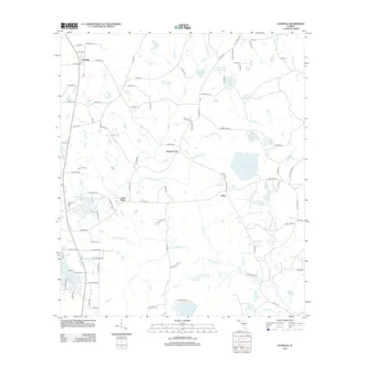 2012 Glendale2012 Print · USGSWalton County at the beginning of the 2010s reveals a patchwork of small communities and rural family landmarks. Genealogists can locate several burial sites including Ray Cemetery and Smith Cem alongside named waters like Lake Cassidy.
 - 2012 Map of De Funiak Springs East, 2012 Print
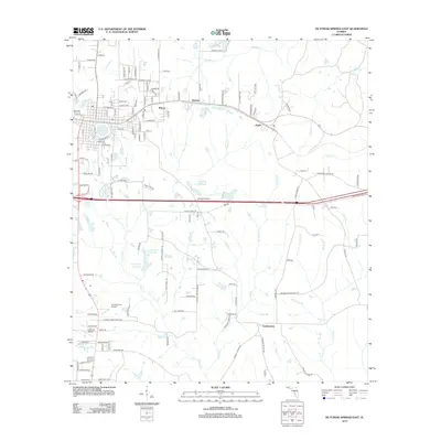 2012 De Funiak Springs East2012 Print · USGSWalton County at the start of the 2010s shows a landscape of established Panhandle settlements and rural creek basins. Genealogists and local historians can trace the areas around Eucheeanna and Argyle, or locate family landmarks like C J King Junior Pond.
 - 2012 Map of Darlington, 2012 Print
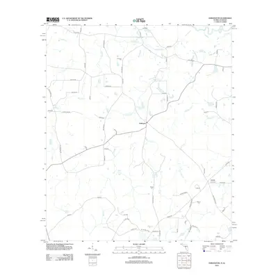 2012 Darlington2012 Print · USGSThe rural borderlands between Florida and Alabama come into focus in this early twenty-first-century survey of Holmes County. Local historians can trace old homesteads and burial sites like Leonia Cem, Padgett Cem, and the quiet waters of Weaver Springs.
 - 2012 Map of Hinsons Crossroads, 2012 Print
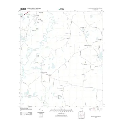 2012 Hinsons Crossroads2012 Print · USGSFlorida's rural panhandle is captured in the early twenty-first century, showing a landscape defined by the winding Choctawhatchee River and its complex wetlands. Genealogists and local historians can trace legacy sites like Clarkston Cem or follow the paths connecting Hinsons Crossroads and Five Points.
 - 2012 Map of Chipley, 2012 Print
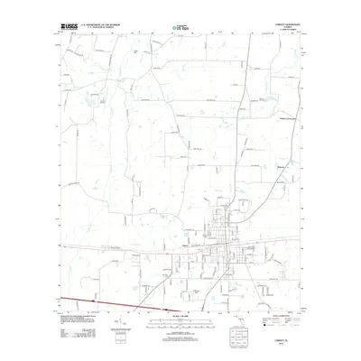 2012 Chipley2012 Print · USGSWashington County, Florida, is shown in the early twenty-first century as it maintains a balance between its rural roots and aviation infrastructure. Researchers can trace family history through Mount Zion Cemetery or locate the settlements of Hulaw and Bahoma.
 - 2012 Map of Ponce de Leon, 2012 Print
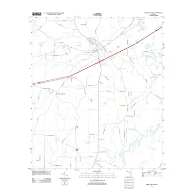 2012 Ponce de Leon2012 Print · USGSHolmes County life centers on the springs and rail lines of the Florida Panhandle in the early twenty-first century. Genealogists and local historians can trace family sites from Ponce de Leon Cem to the rural Douglass Crossroads and the banks of the Choctawhatchee River.
 - 2012 Map of Caryville, 2012 Print
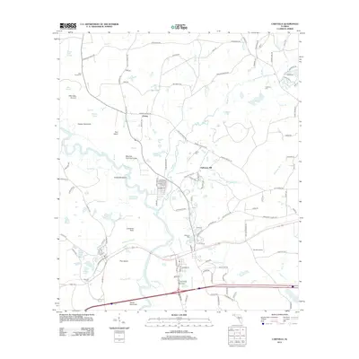 2012 Caryville2012 Print · USGSThe Choctawhatchee River lowlands of Washington County come alive in this modern survey of the Panhandle's riverine landscape. Genealogists and historians can trace family roots at Blackman Cem or Dyson Cem while exploring rural sites like Gritney and Hathaway Mill.
 - 2012 Map of Wausau, 2012 Print
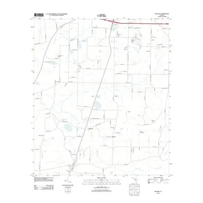 2012 Wausau2012 Print · USGSNorth of Chipley in the early twenty-first century, this landscape features a high concentration of small family-named roads and rural settlements. Researchers can trace local roots at Everett Cem and explore the creek networks of Hard Labor Cr and Bells Mill.
 - 2012 Map of Hobbs Crossroads, 2012 Print
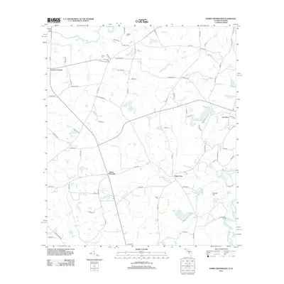 2012 Hobbs Crossroads2012 Print · USGSThe Florida-Alabama borderlands come to life in this detailed study of the river-junction landscape around the turn of the decade. Genealogists can locate family landmarks like Royals Cem, Barker Store, and the historic Old Warehouse Landing.
 - 2012 Map of Prosperity, 2012 Print
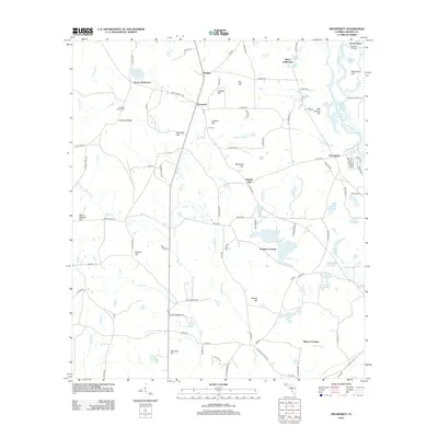 2012 Prosperity2012 Print · USGSHolmes County at the start of the 2010s reveals a landscape of family settlements and river-bottom landings along the Choctawhatchee. Researchers can trace the layout of Arrant Settlement, locate Pleasant Ridge Cem, and find old river access points like Bearpen Landing.
 - 2012 Map of Esto, 2012 Print
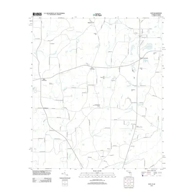 2012 Esto2012 Print · USGSThe Florida-Alabama border comes to life in this survey of the Holmes County countryside during the early 2010s. Researchers can locate the storied Bethlehem West Florida Camp Meeting Ground, old family burials at Double Springs Cem, and quiet hamlets like Highnote.
 - 2012 Map of Poplar Head, 2012 Print
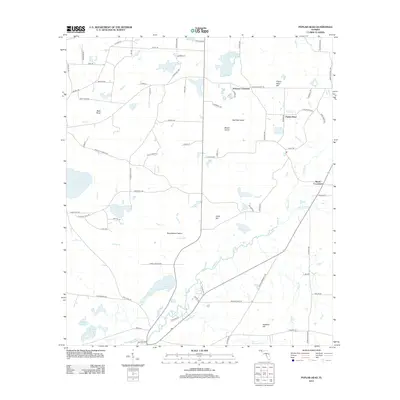 2012 Poplar Head2012 Print · USGSWashington County at the start of the 2010s reveals a patchwork of family settlements and wetlands tied to the Holmes Creek basin. Genealogists and local historians can trace legacy land markers like Bess Nook, Johnson Crossroad, and Cooks Mill Pond.
 - 2012 Map of Izagora, 2012 Print
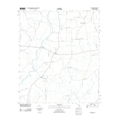 2012 Izagora2012 Print · USGSGeneva County and the Florida border region are shown here in the early twenty-first century, centered on the winding Choctawhatchee River. Researchers can trace local community roots through landmarks like the Curry Ferry, Smith Crossroads, and the Whitewater Cem.
 - 2012 Map of Bonifay, 2012 Print
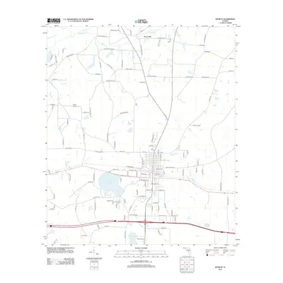 2012 Bonifay2012 Print · USGSBonifay and the rural surrounding panhandle are documented in this 2012 survey during a period of steady growth. Researchers can locate the Still Cem, the former site of the Old Liberty School Rd, and the small community at Hoover Mill.
 - 2012 Map of Graceville, 2012 Print
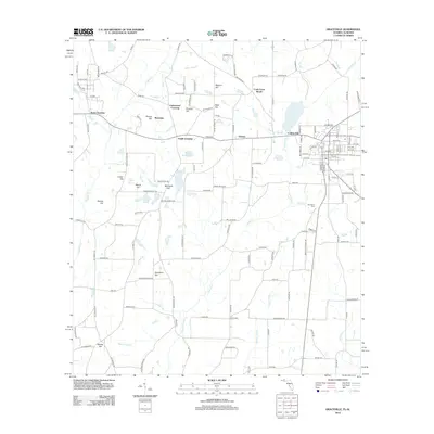 2012 Graceville2012 Print · USGSGraceville and the surrounding Jackson County countryside are shown here in the early twenty-first century, spanning the Florida-Alabama line. Researchers can locate family landmarks such as Damascus Cem, Collins Mill, and several named summits like McIntosh Hill.
 - 2012 Map of Campbellton, 2012 Print
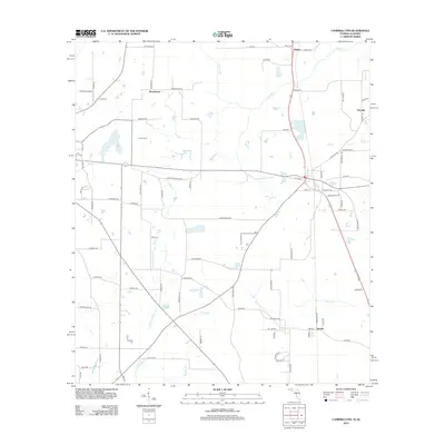 2012 Campbellton2012 Print · USGSThe Florida-Alabama borderlands come into focus in the early twenty-first century, showing a landscape of rural settlements and winding waterways. Genealogists and local historians can trace family-named roads and sites like Hinson Cem, Browntown, and Jacobs.
 - 2015 Map of Izagora, 2015 Print
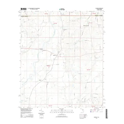 2015 Izagora2015 Print · USGSGeneva County, Alabama and Holmes County, Florida meet here along the winding Choctawhatchee River in the early twenty-first century. Researchers can trace rural lineages through the Whitewater Cem and Curry Cem or locate old homesteads near Pittman and Izagora.
 - 2015 Map of Hobbs Crossroads, 2015 Print
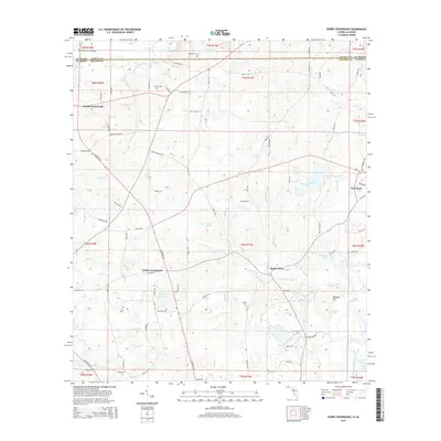 2015 Hobbs Crossroads2015 Print · USGSCrossing the state line into Holmes County, Florida, this mid-2010s survey reveals a landscape of river bends and rural crossroads. Genealogists and local historians can pinpoint family burial sites like Merrill Cem and trace the legacy of small community centers like Hobbs Crossroads and Barker Store.
 - 2015 Map of Prosperity, 2015 Print
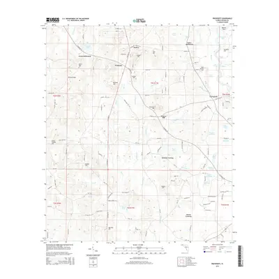 2015 Prosperity2015 Print · USGSHolmes County settlements and spring-fed waterways are mapped here in the early twenty-first century. Genealogists and local historians can trace family-named sites like Arrant Settlement, Baker Settlement, and the Pleasant Ridge Cem.
 - 2015 Map of Wausau, 2015 Print
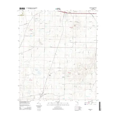 2015 Wausau2015 Print · USGSWausau and the rural interior of Washington County are shown here in the mid-2010s, capturing a landscape of small settlements and local aviation. Researchers can locate Everett Cem or trace the early settlement footprints at Bells Mill and Orange Hill.
 - 2015 Map of Campbellton, 2015 Print
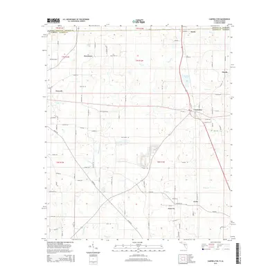 2015 Campbellton2015 Print · USGSJackson County, Florida, sits at the intersection of the Alabama state line during the mid-2010s, showing a landscape of rural towns and crossroads. Genealogists and local historians can trace family locations near Hinson Cem and settlements like Jacob City or Ellaville.
 - 2015 Map of Poplar Head, 2015 Print
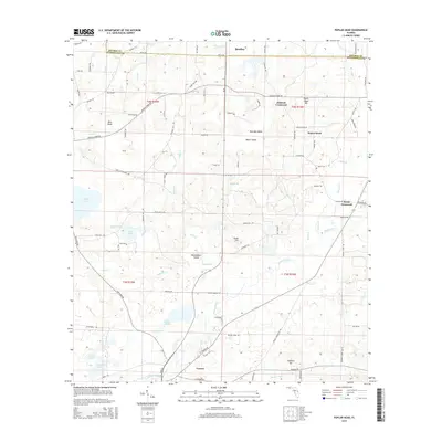 2015 Poplar Head2015 Print · USGSThe Florida Panhandle's rural interior comes into focus here during the early twenty-first century, centered on the historic town of Vernon. Researchers can trace old family-named landmarks and water bodies like Pate Lake, Bess Nook, and Poplar Head.
 - 2015 Map of Glendale, 2015 Print
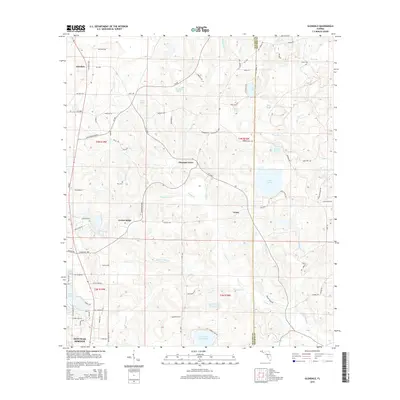 2015 Glendale2015 Print · USGSThe rural Florida Panhandle north of DeFuniak Springs is captured here, showing a landscape of scattered settlements and spring-fed lakes. Researchers can locate early community hubs like Pleasant Grove and Union, or trace family history at Smith Cemetery and Gum Creek Church.
 - 2015 Map of Bonifay, 2015 Print
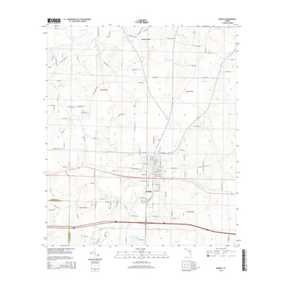 2015 Bonifay2015 Print · USGSBonifay and the rural stretches of Holmes County are captured in this mid-2010s survey of the Florida Panhandle. Researchers can trace local lineage through family landmarks and sites like the Stitt Cemetery, Hoover Mill, and Tharpe Airport.
 - 2015 Map of Chipley, 2015 Print
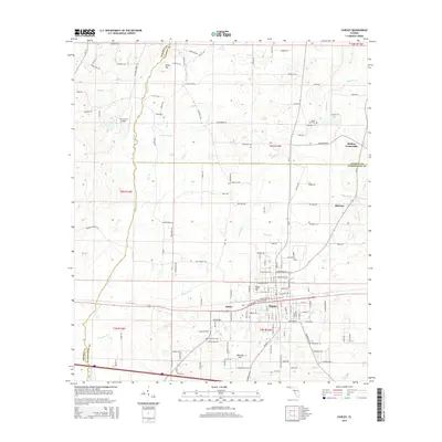 2015 Chipley2015 Print · USGSThe Washington County seat of Chipley is captured here during a period of modern growth at the junction of three Florida counties. Researchers can trace the L & N RR line, locate family plots at Mount Zion Cem, and explore the rural outskirts of Hulaw and Bahoma.
Showing maps 1-25 of 48
Top cities of Holmes County
- Bonifay historical maps
- Ponce de Leon historical maps
- Esto historical maps
- Westville historical maps
- Noma historical maps
Frequently asked questions
- What are the different types of historical maps available for Holmes County?
- What is the oldest map of Holmes County?
- Where can I purchase historical maps of Holmes County for my home or office?
- Where can I download high-res historical maps of Holmes County?
- Are there historical topographic maps available for Holmes County?
- Is there historical aerial imagery available for Holmes County?
- Where are historical maps of Holmes County sourced from?