1970s Maps of Illinois
Explore 276 historic maps of Illinois from the 1970s. These maps offer a rare glimpse into what life looked like during the 1970s — showing old roads, neighborhoods, homes, and landmarks that have changed or disappeared over time.
Whether you're researching your family's past, planning a metal detecting trip, or studying how Illinois's landscape evolved across the 1970s, these high-resolution maps are a powerful tool for exploring the history of this region.
- Focus on a specific era: All maps on this page are from the 1970s, giving you a focused view of this time period.
- See what’s changed: Compare century-old streets, trails, and buildings to today's modern landscape using overlays and satellite layers.
- Research with precision: Use these maps for genealogy, historical research, land use analysis, or educational projects.
- View, download, or print: Maps are fully viewable online in high resolution, and can be downloaded or printed for your own records.
Start exploring Illinois's history through authentic maps from the 1970s. This is your window into the past.
Illinois maps
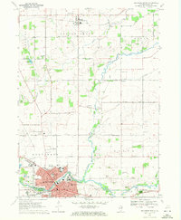
(276)- 1970 Map of Clay City, 1971 Print
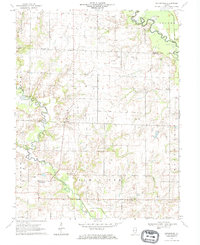
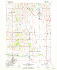
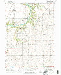
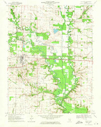 1970 Clay City1971 Print · USGSClay County at the dawn of the seventies is defined here by the intersection of river transport and petroleum industry. Genealogists can trace family landmarks like Hanna Cem and South Freedom Ch alongside the busy Baltimore and Ohio rail line.2 unique versions available
 - 1970 Map of Fairman, 1971 Print
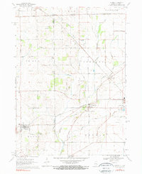
 1970 Fairman1971 Print · USGSMarion County's rural oil-producing landscape is captured here in the early seventies as the petroleum industry shaped the local economy. Researchers can locate the Patoka East Oil Field, the Illinois Central railroad, and family landmarks like Cruise Cem and Cubbage Chapel.
 - 1970 Map of Centralia East, 1971 Print
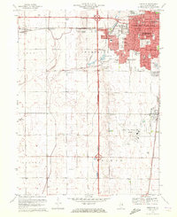
 1970 Centralia East1971 Print · USGSMarion County at the start of the 1970s reveals a landscape of industrial energy and deep-rooted rural communities. Trace the intersection of the Illinois Central railroad with local landmarks like the Raccoon Lake Oil Field and Peaceful Valley Cem.3 unique versions available
 - 1970 Map of Seymour, 1971 Print
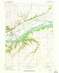
 1970 Seymour1971 Print · USGSEast of the Sangamon River in the early 1970s, this portion of Champaign County shows a landscape defined by the Central Illinois railway and rural townships. Trace family roots at Ingram Cem, St Boniface Ch, and the crossroads of Seymour.2 unique versions available
 - 1970 Map of Enterprise, 1971 Print
 1970 Enterprise1971 Print · USGSWayne and Clay counties are shown here in the 1970s, a period when the local economy was shaped by the Clay City Oil Field and river bottom farming. Researchers can locate numerous family burial sites and rural landmarks like Enterprise, Laird Cem, and Patterson Ch.
 - 1970 Map of Flora, 1971 Print
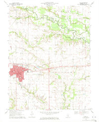 1970 Flora1971 Print · USGSClay County at the start of the 1970s reveals a landscape of railroad hubs and active oil fields. Researchers can trace the Baltimore and Ohio line through Flora or locate rural landmarks like Beulah Church and the Clay City Oil Field.
 - 1970 Map of Mahomet, 1971 Print
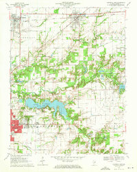
 1970 Mahomet1971 Print · USGSMahomet and the Sangamon River valley appear at a point of growth in the early seventies, with new highways and recreation areas taking shape. Trace local family history through Dunkard Cem and Argo Cem, or locate the Covered Bridge at Lake of the Woods.3 unique versions available
 - 1970 Map of Urbana, 1972 Print
 1970 Urbana1972 Print · USGSChampaign and Urbana are captured here during a period of significant university expansion and suburban growth. Researchers can trace early campus footprints near Memorial Stadium or locate family plots in Mt Hope Cemetery and Calvary Cem.3 unique versions available
 - 1970 Map of Secor, 1972 Print
 1970 Secor1972 Print · USGSWoodford County’s agricultural heartland is documented here in the early seventies, centered on the railroad hub of Secor. Genealogists and local historians can trace family roots at the Mennonite Cem and Apostolic Christian Cem or locate the ancient Nichols Mound (Indian Mound).2 unique versions available
 - 1970 Map of Starved Rock, 1972 Print
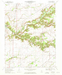
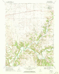
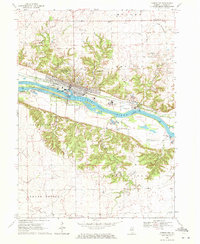
 1970 Starved Rock1972 Print · USGSThe Illinois River valley in the early seventies reveals a landscape of deep canyons and heavy industry. Trace the ABANDONED Illinois and Michigan Canal and find landmarks like Buffalo Rock and the Deer Park Ch Cem.3 unique versions available
 - 1970 Map of Baldwin, 1972 Print
 1970 Baldwin1972 Print · USGSThe border of Randolph and St. Clair counties at the start of the 1970s shows a region balanced between coal mining and small-town life. Researchers can trace rural lineages through numerous sites like St Johns Cem, Lessley Cem, and the St Johns Sch.2 unique versions available
 - 1970 Map of Cisne, 1972 Print
 1970 Cisne1972 Print · USGSCisne and the surrounding Wayne County countryside are captured here in the early 1970s, showcasing a landscape where the railroad and oil industry met. Genealogists and local historians can locate several rural burial grounds like Stine Cem and Madden Cem or trace the Baltimore and Ohio rail line past Rinard.
 - 1970 Map of Marseilles, 1972 Print
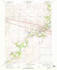
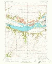
 1970 Marseilles1972 Print · USGSMarseilles stood as a vital river and rail hub in the early seventies, dominated by the Illinois River corridor and its industrial infrastructure. Genealogists can trace family names through numerous rural sites like Riverview Cem, Galloway Cem, and Parkview Ch.3 unique versions available
 - 1970 Map of Bloomsdale, 1972 Print
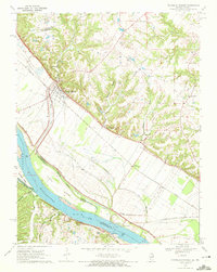
 1970 Bloomsdale1972 Print · USGSThe Mississippi River borderlands between Missouri and Illinois are captured here in the early seventies. Genealogists can trace the rural communities of Bloomsdale and Needmore, while historians can locate Fort Chartres State Park and the lines of the St Louis San Francisco railroad.3 unique versions available
 - 1970 Map of Ames, 1972 Print
 1970 Ames1972 Print · USGSMonroe and Randolph Counties are captured here in the early 1970s, showing a landscape of traditional farmsteads and rural parish life. Researchers can trace family history through sites like St Patrick Sch Cem, Nelson Cem, and the rail corridor of the Gulf Mobile and Ohio.
 - 1970 Map of Renault, 1972 Print
 1970 Renault1972 Print · USGSMonroe County settlements sit poised between the rugged bluffs and the river bottoms in the early seventies. Genealogists and historians can trace the sites of St Marys Cem, Grant Pass Cem, and the old rail siding at Renault (Station).2 unique versions available
 - 1970 Map of Belvidere North, 1972 Print
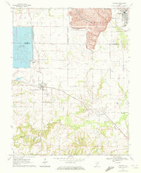
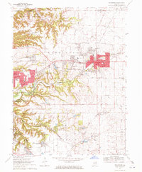
 1970 Belvidere North1972 Print · USGSBoone County in the early seventies shows a landscape where the growing city of Belvidere meets the agricultural North. Researchers can trace family history through numerous rural burial grounds like Popular Grove Cem or locate community hubs like Grange Hall.3 unique versions available
 - 1970 Map of Capron, 1972 Print
 1970 Capron1972 Print · USGSThe Illinois-Wisconsin borderlands are captured here in the early seventies, showing a landscape of established farmsteads and rail-linked villages. Genealogists can locate family sites at Burr Oak Cem, Chester Cem, or the rural community of Lawrence.3 unique versions available
 - 1970 Map of Bondville, 1972 Print
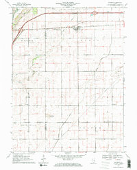
 1970 Bondville1972 Print · USGSChampaign and its western fringes reached a pivotal stage of growth in the early seventies, as residential grids began to meet the surrounding prairie. Genealogists and researchers can trace the locations of Prairieview Cem, local schools like Howard Sch, and the expansion of the University of Illinois-Willard Airport.2 unique versions available
 - 1970 Map of Seneca, 1972 Print
 1970 Seneca1972 Print · USGSThe Seneca riverfront and its industrial corridor are captured here during the 1970s. Researchers can trace the path of the Illinois and Michigan Canal (Abandoned) and locate the U.S. Govt Reservation and the village of Langham.2 unique versions available
 - 1970 Map of Marengo North, 1972 Print
 1970 Marengo North1972 Print · USGSMcHenry County's farm country comes into focus in the early 1970s, showing the rural townships as they transitioned toward modern development. Genealogists and local historians can trace family road names and locate burial sites like Sacred Heart Cem and Nelson County Cem.2 unique versions available
 - 1970 Map of Washington, 1972 Print
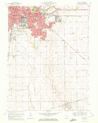
 1970 Washington1972 Print · USGSTazewell County's expansion is clearly visible in the early seventies as the residential edges of WASHINGTON and MORTON begin to spread across the Illinois prairie. Researchers can trace family history through numerous rural burial sites like Guth Cem and Herstein Cem or locate local landmarks like the Smitty Landing Strip.2 unique versions available
 - 1970 Map of Prairie Center, 1972 Print
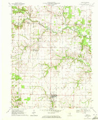
 1970 Prairie Center1972 Print · USGSLaSalle County agriculture and township life are captured here in the early seventies, centered on the crossroads of Prairie Center. Genealogists and local historians can locate early burial sites like Gouldtown Cem and rural schoolhouses such as Waltham Sch.
 - 1970 Map of Prairie Du Rocher, 1972 Print
 1970 Prairie Du Rocher1972 Print · USGSThe Mississippi River floodplain and limestone bluffs define the Randolph County borderlands around the 1970s. Genealogists and historians can trace rail-side settlements like Prairie du Rocher, the Modoc Rock Shelter National Historic Site, and riverfront sites at Mudds Landing.3 unique versions available
 - 1970 Map of Serena, 1972 Print
 1970 Serena1972 Print · USGSLaSalle County farmland meets the wooded bluffs of the Fox River during the early 1970s. Genealogists can locate several remote burial sites and historic congregations, including Brumbach Cem, Norway Ch, and the Latter Day Saints Ch.2 unique versions available
Showing maps 1-25 of 276
Top cities of Illinois
- Chicago historical maps
- Aurora historical maps
- Joliet historical maps
- Naperville historical maps
- Rockford historical maps
- Springfield historical maps
See more
Top counties of Illinois
- Cook County historical maps
- Lake County historical maps
- McHenry County historical maps
- Winnebago County historical maps
- Madison County historical maps
- Saint Clair County historical maps
See more
Frequently asked questions
- What are the different types of historical maps available for Illinois?
- What is the oldest map of Illinois?
- Where can I purchase historical maps of Illinois for my home or office?
- Where can I download high-res historical maps of Illinois?
- Are there historical topographic maps available for Illinois?
- Is there historical aerial imagery available for Illinois?
- Where are historical maps of Illinois sourced from?