1990s Maps of Illinois
Explore 488 historic maps of Illinois from the 1990s. These maps offer a rare glimpse into what life looked like during the 1990s — showing old roads, neighborhoods, homes, and landmarks that have changed or disappeared over time.
Whether you're researching your family's past, planning a metal detecting trip, or studying how Illinois's landscape evolved across the 1990s, these high-resolution maps are a powerful tool for exploring the history of this region.
- Focus on a specific era: All maps on this page are from the 1990s, giving you a focused view of this time period.
- See what’s changed: Compare century-old streets, trails, and buildings to today's modern landscape using overlays and satellite layers.
- Research with precision: Use these maps for genealogy, historical research, land use analysis, or educational projects.
- View, download, or print: Maps are fully viewable online in high resolution, and can be downloaded or printed for your own records.
Start exploring Illinois's history through authentic maps from the 1990s. This is your window into the past.
Illinois maps
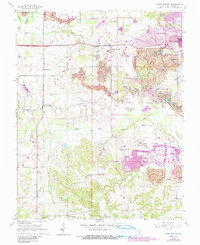
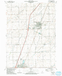
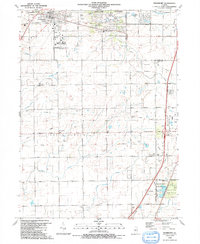
(488)- 1990 Map of Burlington
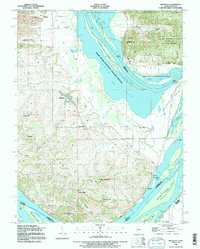
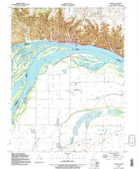
 1990 Burlington1990 Print · USGSThe tri-state confluence of Iowa, Illinois, and Missouri is mapped here at the end of the twentieth century. Genealogists and historians can trace the riverfront heritage of Burlington, Keokuk, and Fort Madison, or locate sites like the Battle of Athens State Historic Site.2 unique versions available
 - 1990 Map of Crab Orchard
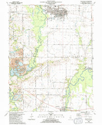
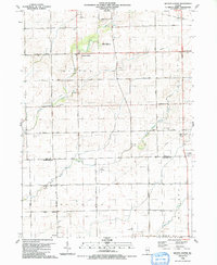
 1990 Crab Orchard1990 Print · USGSCoal country in Williamson County is documented here during the late twentieth century as surface mining reshaped the terrain. Genealogists and historians can trace family plots at Pulley Cem and Atwood Cem or follow the Illinois Central Railroad.
 - 1990 Map of Peoria
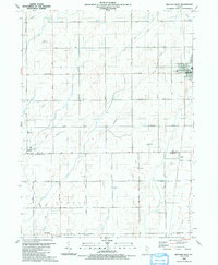
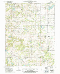
 1990 Peoria1990 Print · USGSCentral Illinois at the start of the nineties reveals a landscape of industrial river towns and sprawling university campuses. Researchers can trace the legacy of major institutions like Chanute Air Force Base and the University of Illinois alongside regional landmarks such as Sand Ridge State Forest.
 - 1990 Map of Meredosia
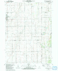
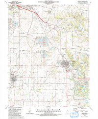
 1990 Meredosia1990 Print · USGSThe Illinois River valley and its surrounding farm towns are captured here in the 1990s. Trace the intricate rail lines of the Norfolk Southern Railway and find local landmarks like Diamond Grove Cem or the Meredosia National Wildlife Refuge.
 - 1990 Map of Dyer, 1991 Print
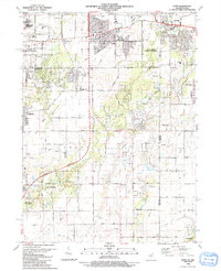 1990 Dyer1991 Print · USGSSuburban development meets the rural prairie at the Illinois and Indiana border in the early nineties. Researchers can trace family sites from Sauk Village to Dyer, including St James Cem and the small settlement of Kreitzburg.
 - 1990 Map of Manhattan, 1991 Print
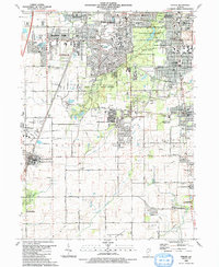
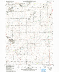 1990 Manhattan1991 Print · USGSWill County’s transition from prairie farmland to residential expansion is captured here in the late twentieth century. Researchers can trace the heritage of local parishes and school districts through landmarks like St Joseph Cem, Green Garden Ch, and the Tyler Sch.
 - 1990 Map of Millstadt, 1991 Print
 1990 Millstadt1991 Print · USGSThe village of Millstadt and its surrounding farmsteads are shown here as they appeared in the 1990s. Researchers can trace the layout of small settlements like Floraville and Bohleysville or locate family burial sites at Stein-Nagel Cem.
 - 1990 Map of Peotone, 1991 Print
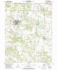
 1990 Peotone1991 Print · USGSThe eastern Illinois prairie near the Will and Kankakee county line is captured here as the towns of Peotone and Manteno expanded in the late twentieth century. Trace local genealogy and civic history through St Paul Ch, Peotone Cem, and the Illinois Central Gulf rail corridor.
 - 1990 Map of New Athens West, 1991 Print
 1990 New Athens West1991 Print · USGSThe riverine corridor of the Kaskaskia River and the rural plains of Prairie Du Long define this landscape during the early nineties. Researchers can trace numerous family-named burial sites and historic schoolhouses like the Grange Hall School and Hecker Cem.
 - 1990 Map of Prairietown, 1991 Print
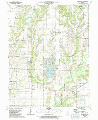 1990 Prairietown1991 Print · USGSMadison County's rural townships are captured here in the early nineties, showing a landscape of family farms and emerging lakeside residential life. Researchers can trace ancestral locations through several country churches and burial sites like St Johns Ch, Meyer Cem, and the Paddock Cem.
 - 1990 Map of Steger, 1991 Print
 1990 Steger1991 Print · USGSThe south Chicago suburbs of Will and Cook Counties appear in full growth during the late twentieth century. Genealogists and local historians can trace family locations through sites like Evergreen Hill Cem, S Liborius Sch, and the Balmoral Park Racetrack.
 - 1990 Map of Frankfort, 1991 Print
 1990 Frankfort1991 Print · USGSWill County's transition from prairie farmland to suburban community is captured here as the nineties approached. Genealogists and local historians can trace family plots at St Peters Cem and Union Cem, or follow the path of the Old Indian Boundary.
 - 1990 Map of Mascoutah, 1991 Print
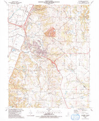
 1990 Mascoutah1991 Print · USGSSt. Clair County at the start of the nineties reveals a landscape of established coal mining and deep-rooted family farms. Genealogists can locate numerous small burial plots like John Mueller Cem and trace the industrial footprint of the River King Mine No 1.
 - 1990 Map of Watseka, 1991 Print
 1990 Watseka1991 Print · USGSThe Illinois and Indiana borderlands are captured here in the early nineties, showing a landscape defined by prairie drainage and rail lines. You can trace family roots through settlements like L'Erable and Raub or locate landmarks such as Saint Josephs College.
 - 1990 Map of Beecher West, 1991 Print
 1990 Beecher West1991 Print · USGSEastern Will County and northern Kankakee County are shown here as the nineteenth-century farm grid met late-century infrastructure. Genealogists can locate family sites near Heusing Cem, St Pauls Ch, or the small rail-side community of Sollitt.
 - 1990 Map of Beecher East, 1991 Print
 1990 Beecher East1991 Print · USGSThe Illinois-Indiana borderlands are captured here in the late twentieth century, showing a landscape of small farming communities and country roads. Genealogists and researchers can locate St Pauls Ch, trace the Old Railroad Grade, and find quiet cemeteries like Brunswick Cem.
 - 1990 Map of Wilton Center, 1991 Print
 1990 Wilton Center1991 Print · USGSWilton Center and the surrounding townships of Peotone and Rockville are captured here in the late twentieth century. Genealogists can locate family sites at the Wilton Center Cem and West Peotone Cem or trace the Old Railroad Grade near Andres.
 - 1990 Map of Paderborn, 1991 Print
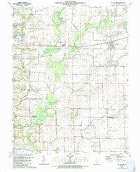
 1990 Paderborn1991 Print · USGSSouthwestern Illinois farm country comes into focus in the 1990s as it appeared before suburban expansion reached these rural townships. Genealogists can trace family names through sites like Martini Cem, St Michaels Ch, and the old Burksville Station settlement.
 - 1990 Map of Freeburg, 1991 Print
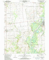
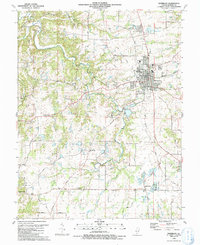
 1990 Freeburg1991 Print · USGSFreeburg and Smithton are captured during a period of coal mining and railway operations in St. Clair County. Genealogists and local historians can trace family roots through numerous burial sites like Wilderman Cem or locate industrial markers such as the Red Ray Mine and the Illinois Central Gulf Railroad.
 - 1990 Map of Brussels, 1995 Print
 1990 Brussels1995 Print · USGSThe tip of the Calhoun County peninsula comes into focus as it was in the early 1990s, where the great river systems converge. Genealogists and river historians can trace family landings and rural hamlets like Brussels, Golden Eagle, and St Josephs Ch.
 - 1990 Map of Grafton, 1995 Print
 1990 Grafton1995 Print · USGSThe rivers of Illinois and Missouri meet at the turn of the 1990s in a landscape of dramatic bluffs and expansive floodplains. Researchers can trace the riverfront at Grafton, explore the ravines of Pere Marquette State Park, and locate rural landmarks like Orchard Farm or Scenic Hill Cem.
 - 1991 Map of Waterloo
 1991 Waterloo1991 Print · USGSThe area around Waterloo is shown in the early nineties, revealing a landscape of established town streets and dispersed rural settlements. Genealogists can locate family landmarks at SS Peter and Paul Cem or the Old Rock Sch.
 - 1991 Map of Ottawa
 1991 Ottawa1991 Print · USGSNorth-central Illinois in the early nineties remains a vital corridor of river commerce and heavy rail. Genealogists and historians can trace the legacy of industrial mining near Morris or explore the river-bluff geography of Starved Rock State Park and Buffalo Rock.
 - 1991 Map of Columbia
 1991 Columbia1991 Print · USGSMonroe County and the American Bottoms are captured in the early 1990s as industrial sites and quiet rural settlements coexist. Genealogists can trace family names and locations at City Cem, St Pauls Ch, and the Cement Hollow Oil Field.
 - 1991 Map of St. Jacob
 1991 St. Jacob1991 Print · USGSMadison County farmland near the turn of the 1990s was a patchwork of small family cemeteries and developing infrastructure. Genealogists can trace rural family roots at Gilead Cem and Wittman Cem, or locate the historic Old Railroad Grade near Triad High Sch.
Showing maps 1-25 of 488
Top cities of Illinois
- Chicago historical maps
- Aurora historical maps
- Joliet historical maps
- Naperville historical maps
- Rockford historical maps
- Springfield historical maps
See more
Top counties of Illinois
- Cook County historical maps
- Lake County historical maps
- McHenry County historical maps
- Winnebago County historical maps
- Madison County historical maps
- Saint Clair County historical maps
See more
Frequently asked questions
- What are the different types of historical maps available for Illinois?
- What is the oldest map of Illinois?
- Where can I purchase historical maps of Illinois for my home or office?
- Where can I download high-res historical maps of Illinois?
- Are there historical topographic maps available for Illinois?
- Is there historical aerial imagery available for Illinois?
- Where are historical maps of Illinois sourced from?