2020s Maps of Kansas
Explore 1,558 historic maps of Kansas from the 2020s. These maps offer a rare glimpse into what life looked like during the 2020s — showing old roads, neighborhoods, homes, and landmarks that have changed or disappeared over time.
Whether you're researching your family's past, planning a metal detecting trip, or studying how Kansas's landscape evolved across the 2020s, these high-resolution maps are a powerful tool for exploring the history of this region.
- Focus on a specific era: All maps on this page are from the 2020s, giving you a focused view of this time period.
- See what’s changed: Compare century-old streets, trails, and buildings to today's modern landscape using overlays and satellite layers.
- Research with precision: Use these maps for genealogy, historical research, land use analysis, or educational projects.
- View, download, or print: Maps are fully viewable online in high resolution, and can be downloaded or printed for your own records.
Start exploring Kansas's history through authentic maps from the 2020s. This is your window into the past.
Kansas maps
(1,558)- 2021 Map of Racine, 2021 Print
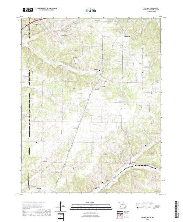 2021 Racine2021 Print · USGSNewton County, Missouri and Ottawa County, Oklahoma meet along this borderland as it appeared in the early 2020s. Genealogists and local historians can trace family roots through numerous sites like Moser Family Cemetery, Kirk Cemetery, and Burson Cemetery.
 - 2021 Map of Oregon, 2021 Print
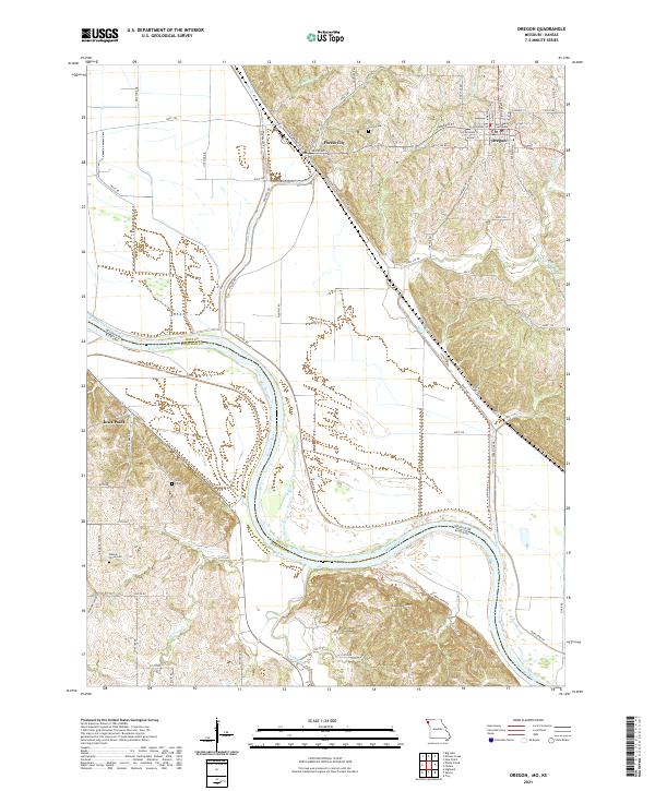 2021 Oregon2021 Print · USGSThe Missouri-Kansas borderlands come alive in this detailed look at the loess bluffs and river bottoms during the early twenty-first century. Researchers can trace the layout of Oregon and Forest City or locate family plots at Union Cem and Iowa Point Cem.
 - 2021 Map of Forbes, 2021 Print
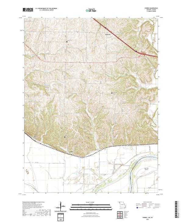 2021 Forbes2021 Print · USGSThe Missouri River bluffs and floodplain in Holt County come alive here in the 2020s. Researchers can trace family history at Brodback Cem or locate the rural settlements of Forbes and Richville among the hollows and bottoms.
 - 2021 Map of Mindenmines, 2021 Print
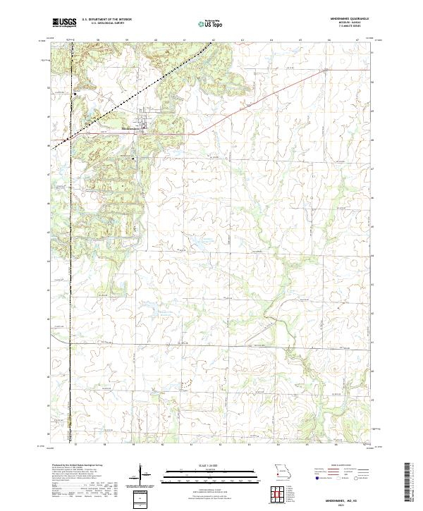 2021 Mindenmines2021 Print · USGSThe borderlands of Barton County, Missouri, are captured here in the early twenty-first century, showing the intersection of small-town life and rural drainage patterns. Genealogists can locate family sites at Mindenmines Cem or Yale Cem while tracing the waters of Glendale Fork.
 - 2021 Map of Asbury, 2021 Print
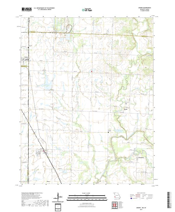 2021 Asbury2021 Print · USGSThe Missouri-Kansas state line area comes alive in this survey of rural Jasper and Barton counties. Genealogists and historians can trace the foundations of Asbury, Medoc, and Galesburg, or locate family sites near Opolis Oak Hill Cem and the Spring River.
 - 2021 Map of Carl Junction, 2021 Print
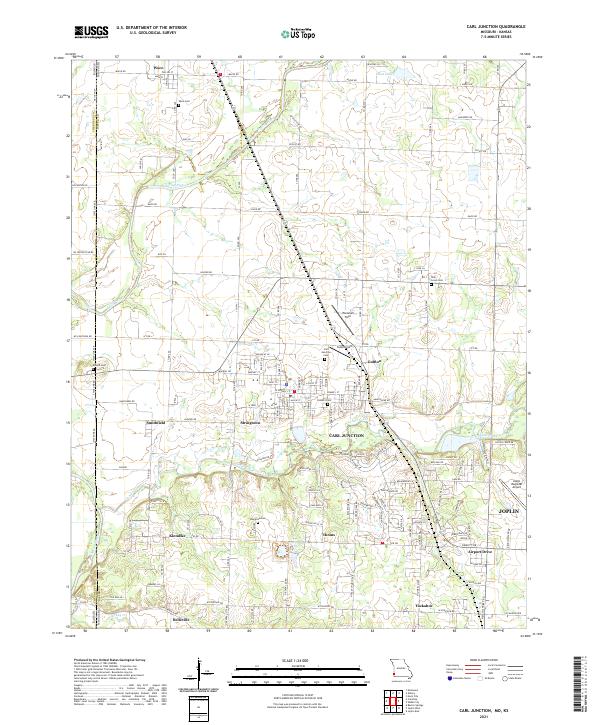 2021 Carl Junction2021 Print · USGSJasper County, Missouri, at the Kansas border appears here in the early twenty-first century, showing a landscape of river valleys and growing small towns. Researchers can locate numerous local burial sites like Waco Cem and Howard Cem or trace aviation hubs such as Cook Airport.
 - 2021 Map of Liberal, 2021 Print
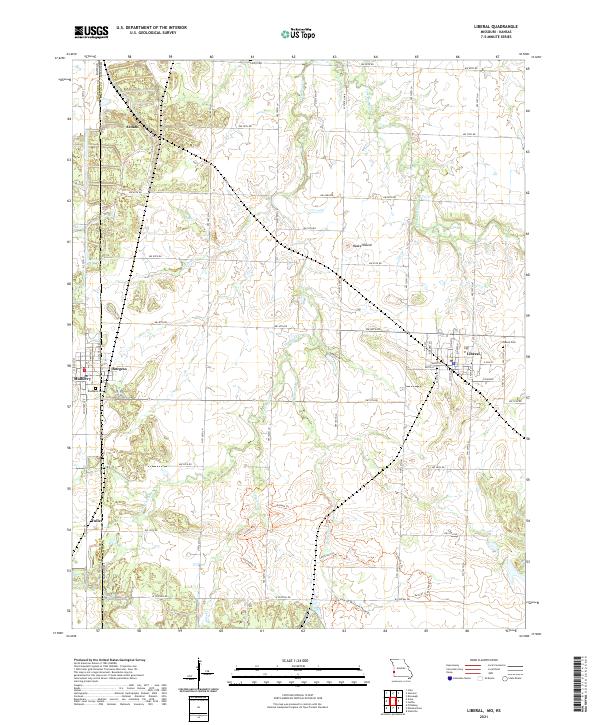 2021 Liberal2021 Print · USGSThe Missouri-Kansas borderlands come into focus in this contemporary survey of the prairie landscape near the town of Liberal. Researchers can trace the rural road grid to find historic sites like Rosebank Cem, the peak at Haake Mound, and several named paths including the Drovers Trl.
 - 2021 Map of Richards, 2021 Print
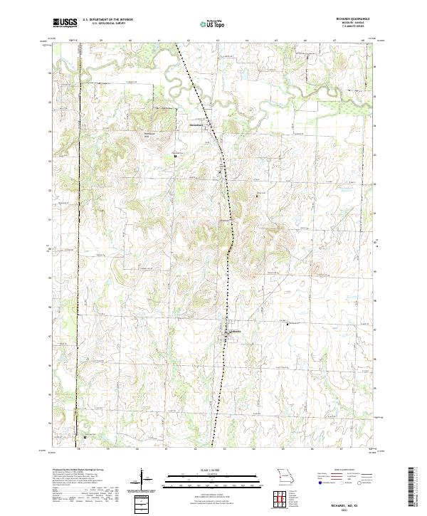 2021 Richards2021 Print · USGSThe Missouri-Kansas border comes to life in this recent survey of Vernon County, where the plains meet the Little Osage River valley. Genealogists can locate family burial sites at Richland Cem or Coleman Cem and trace the rural layouts of Richards and Stotesbury.
 - 2021 Map of Deerfield, 2021 Print
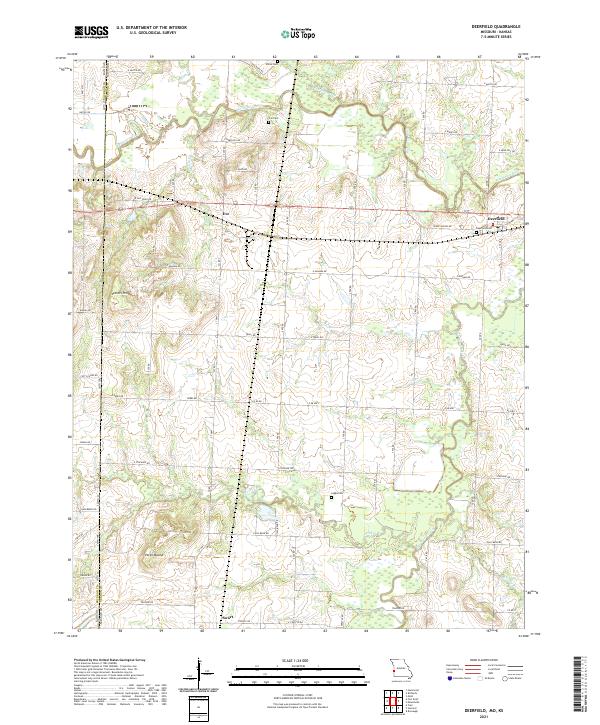 2021 Deerfield2021 Print · USGSDeerfield and the western edge of Vernon County are shown here as they appeared in 2021, centered on the Marmaton River bottomlands. Researchers can locate ancestral burial grounds at Cox Cem and White Cem or trace the early paths of Osage Nation Rd and Eve.
 - 2021 Map of Grandview, 2021 Print
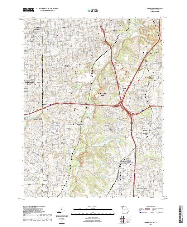 2021 Grandview2021 Print · USGSSuburban development and commemorative landscapes define this portion of the Kansas City metro. Genealogists can trace family sites at Memorial Park Cem, Ridge Cem, and the historic New Santa Fe area.
 - 2021 Map of Big Lake, 2021 Print
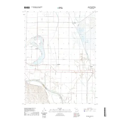 2021 Big Lake2021 Print · USGSCovers Kansas, including Big Lake, Fortescue, and other nearby areas
 - 2021 Map of Joplin West, 2021 Print
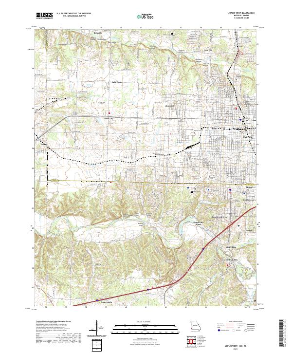 2021 Joplin West2021 Print · USGSJoplin and the Kansas borderlands appear in great detail during this period of 21st-century growth and institutional expansion. Researchers can trace the heritage of local mining hollows or locate the Jasper County Courts Building, Peace Church Cem, and Redings Mill.
 - 2021 Map of Saint Joseph North, 2021 Print
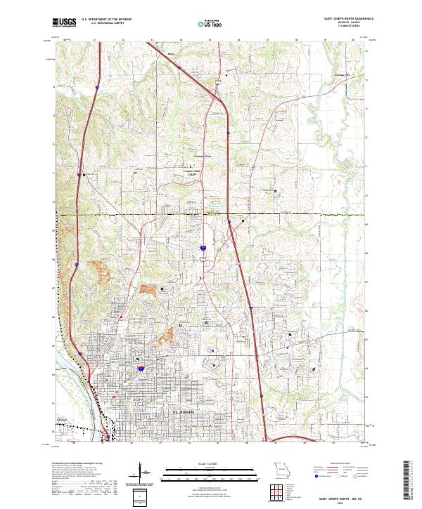 2021 Saint Joseph North2021 Print · USGSThe riverfront and northern suburbs of St. Joseph come into focus in this late-modern survey of Buchanan County. Genealogists and historians can trace the grounds of Mount Mora Cem, B'nai Sholem Cem, and the historic Buchanan County Courthouse.
 - 2021 Map of Saint Joseph South, 2021 Print
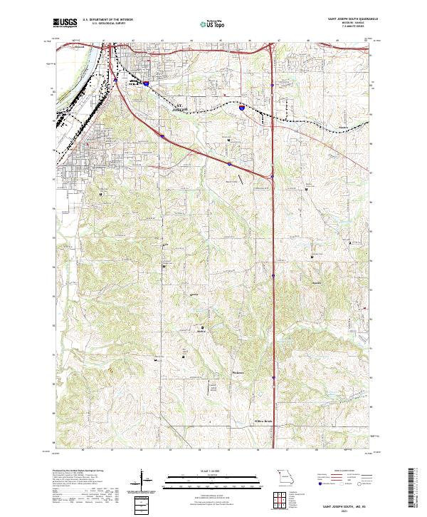 2021 Saint Joseph South2021 Print · USGSSouthern St. Joseph and the surrounding Missouri River lowlands are captured here in the early twenty-first century. Genealogists and local historians can trace legacy sites like Old Sparta Cem, Pleasant Ridge Cem, and the small community of Willow Brook.
 - 2021 Map of Parkville, 2021 Print
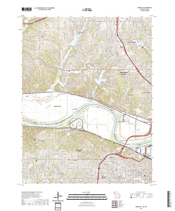 2021 Parkville2021 Print · USGSThe Missouri River borderlands near Parkville and Kansas City come into focus in this contemporary survey. Researchers can trace historic cemeteries like Saint Marys Cem and Quindaro Cem alongside the sprawling campus of Park University.
 - 2021 Map of North Kansas City, 2021 Print
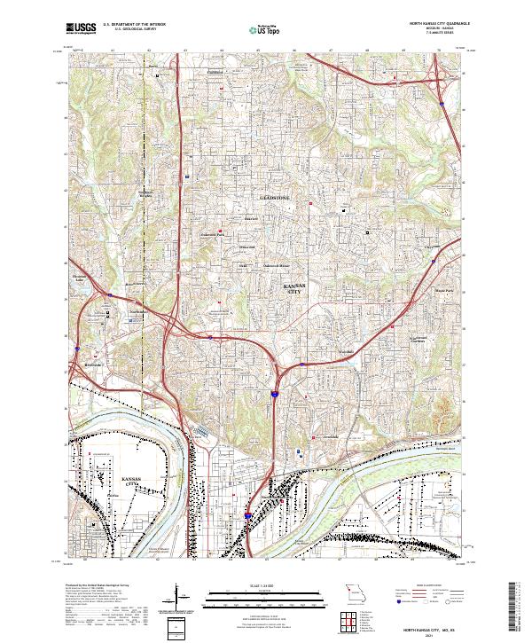 2021 North Kansas City2021 Print · USGSGreater Kansas City's northern landscape and industrial riverfront are captured here in the early 2020s. Researchers can trace transportation networks near Kaw Bend, locate family plots at White Chapel Cem, or explore neighborhoods like Riverside and Gladstone.
 - 2021 Map of Kansas City, 2021 Print
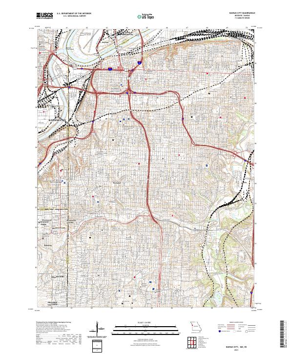 2021 Kansas City2021 Print · USGSKansas City at the start of the 2020s shows the enduring layout of its historic neighborhoods and industrial riverfronts. Researchers can trace family sites at Union Cem or explore the development of areas like Westport and North Kansas City.
 - 2021 Map of Amazonia, 2021 Print
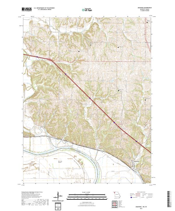 2021 Amazonia2021 Print · USGSThe Missouri River bluffs and lowlands of Andrew County are captured here in the early 2020s. Genealogists can locate several rural burial grounds like Jackson Cem and Hackberry Cem, while tracing the rail corridor of the BNSF RAILWAY through Amazonia.
 - 2021 Map of Weston, 2021 Print
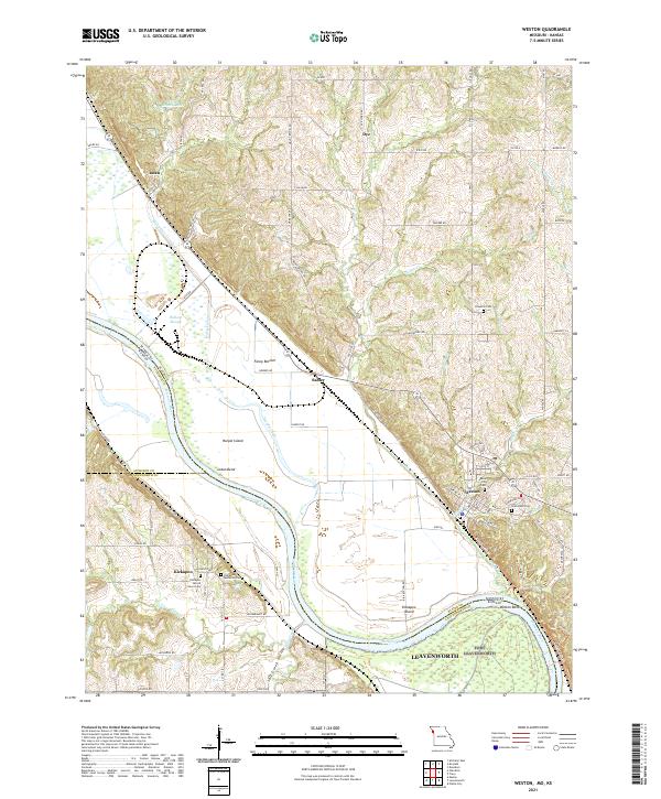 2021 Weston2021 Print · USGSThe Missouri River floodplain near Weston comes into focus in the early twenty-first century, documenting a landscape defined by water and history. Researchers can trace rural cemeteries like Hawkins Cem or explore riverside features such as Fancy Bottom and Kickapoo Island.
 - 2021 Map of Platte City, 2021 Print
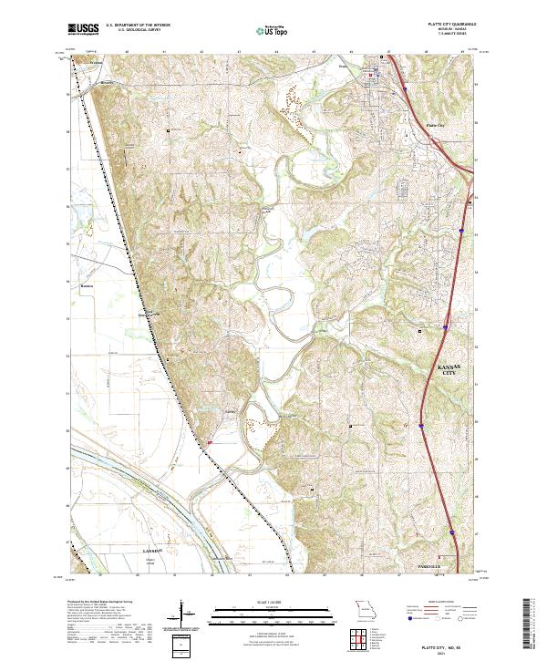 2021 Platte City2021 Print · USGSPlatte City and the surrounding river bluffs are captured here in the early 2020s, showing the meeting of historic rural landscapes and modern growth. Researchers can trace local heritage through numerous family-named sites like Todd Cem, Humphery Bridge, and the Platte County Courthouse.
 - 2021 Map of Rulo, 2021 Print
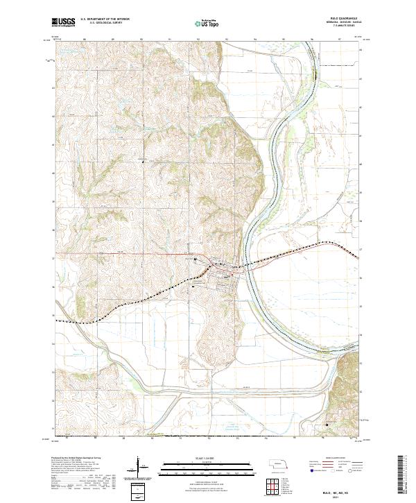 2021 Rulo2021 Print · USGSSoutheast Nebraska meets Missouri at the river bend during the early 2020s. Genealogists and local historians can trace the streets of Rulo and locate rural burial sites such as Heater Cem and Franklin Cem among the Missouri River bluffs.
 - 2021 Map of Diller, 2021 Print
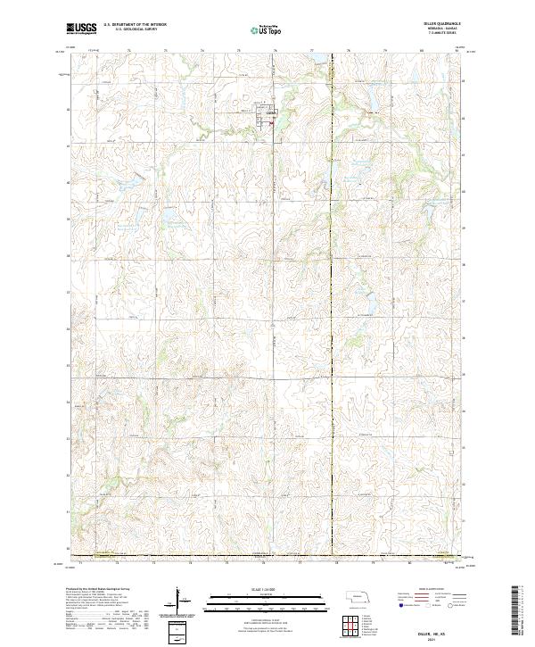 2021 Diller2021 Print · USGSDiller and the surrounding prairie of the Nebraska-Kansas border are shown in detail as they appeared in the early 2020s. Researchers can trace the water management systems of Big Indian Cr and locate specific sites like Callan Reservoir and Clapp Reservoir.
 - 2021 Map of Liberty, 2021 Print
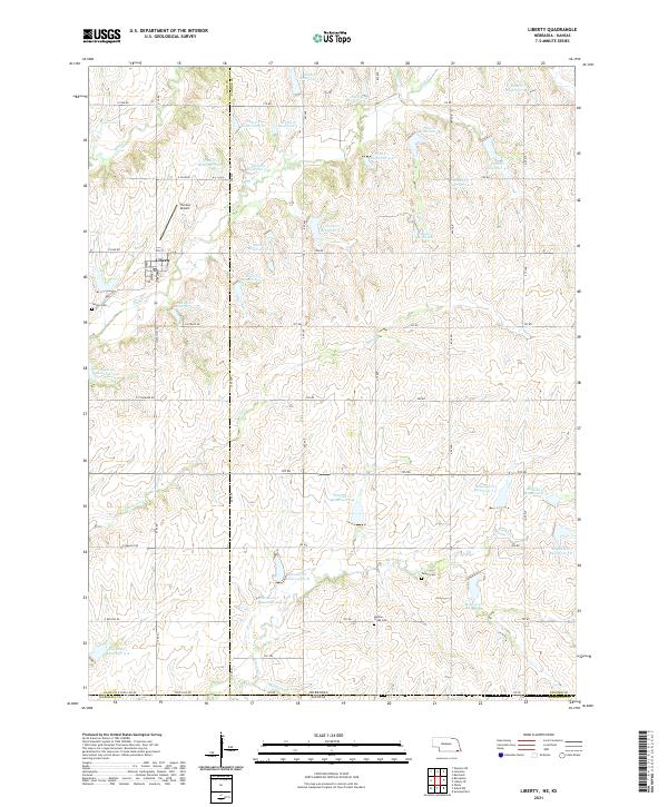 2021 Liberty2021 Print · USGSLiberty and the rural borderlands of Gage and Pawnee Counties are shown here during the early twenty-first century. Researchers can trace family history through Liberty Cem, Tanner Cem, and Mission Creek Cem or study the local drainage of Plum Cr and Mission Cr.
 - 2021 Map of Barneston, 2021 Print
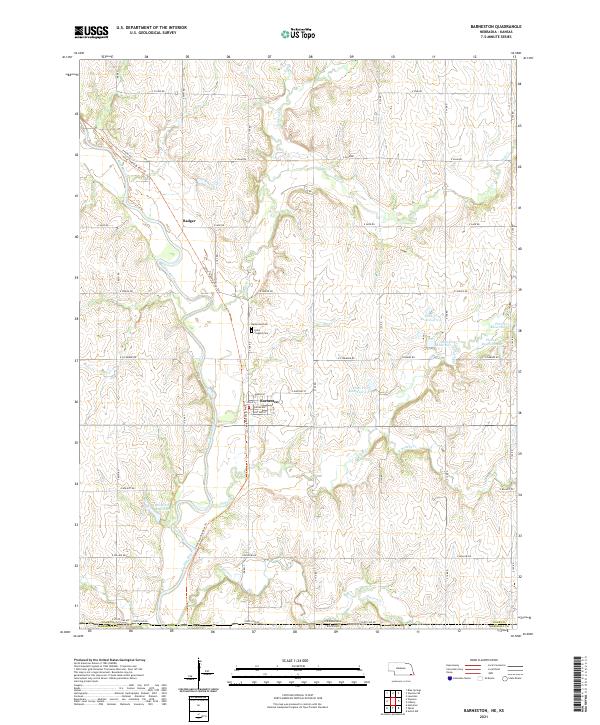 2021 Barneston2021 Print · USGSBarneston and the Big Blue River valley are captured here at the Nebraska-Kansas border in the early 2020s. Researchers can locate family sites at Barneston Cem and Saint Josephs Cem or trace the path of the Chief Standing Bear Trl.
 - 2021 Map of Wymore, 2021 Print
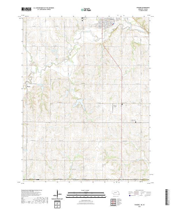 2021 Wymore2021 Print · USGSWymore and the southern plains of Gage County appear in this 2021 survey at the Kansas border. Genealogists can locate Saint Johns Lutheran Cem and Bethel Cem or trace the Chief Standing Bear Trl near the river.
Showing maps 1-25 of 1,558
Top cities of Kansas
- Wichita historical maps
- Overland Park historical maps
- Kansas City historical maps
- Olathe historical maps
- Topeka historical maps
- Lawrence historical maps
See more
Top counties of Kansas
- Johnson County historical maps
- Sedgwick County historical maps
- Shawnee County historical maps
- Wyandotte County historical maps
- Douglas County historical maps
- Riley County historical maps
See more
Frequently asked questions
- What are the different types of historical maps available for Kansas?
- What is the oldest map of Kansas?
- Where can I purchase historical maps of Kansas for my home or office?
- Where can I download high-res historical maps of Kansas?
- Are there historical topographic maps available for Kansas?
- Is there historical aerial imagery available for Kansas?
- Where are historical maps of Kansas sourced from?