2000-2009 Maps of Kansas
Explore 1,056 historic maps of Kansas from 2000-2009. These maps offer a rare glimpse into what life looked like during the 2000s — showing old roads, neighborhoods, homes, and landmarks that have changed or disappeared over time.
Whether you're researching your family's past, planning a metal detecting trip, or studying how Kansas's landscape evolved across the 2000s, these high-resolution maps are a powerful tool for exploring the history of this region.
- Focus on a specific era: All maps on this page are from the 2000s, giving you a focused view of this time period.
- See what’s changed: Compare century-old streets, trails, and buildings to today's modern landscape using overlays and satellite layers.
- Research with precision: Use these maps for genealogy, historical research, land use analysis, or educational projects.
- View, download, or print: Maps are fully viewable online in high resolution, and can be downloaded or printed for your own records.
Start exploring Kansas's history through authentic maps from the 2000s. This is your window into the past.
Kansas maps
(1,056)- 2009 Map of Chautauqua, 2009 Print
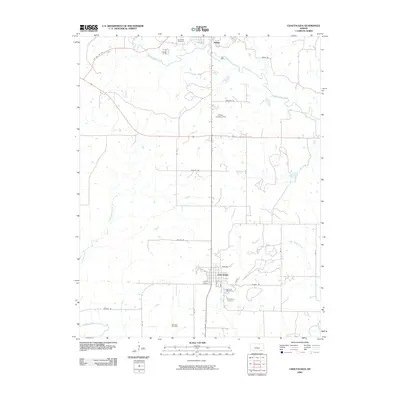 2009 Chautauqua2009 Print · USGSSoutheastern Kansas in the early 2000s remains a landscape of quiet rural crossroads and family burial grounds. Local historians can trace established routes like Cowboy RD and locate several regional landmarks including Oak Hill Cemetery and Walter Landing Strip.
 - 2009 Map of Elk Falls, 2009 Print
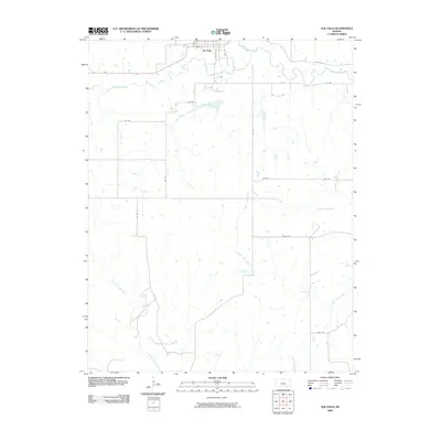 2009 Elk Falls2009 Print · USGSSoutheast Kansas at the turn of the millennium remains a rural landscape defined by the winding Elk River and its many tributaries. Researchers can trace the layout of Elk Falls or follow old routes like Valley Rd and Trail Rd through the countryside.
 - 2009 Map of Cherryvale, 2009 Print
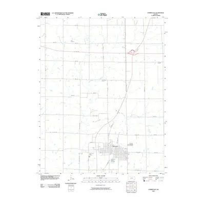 2009 Cherryvale2009 Print · USGSCherryvale and its surrounding prairie appear at a modern crossroads in the early 2000s, where major highways intersect an older rural grid. Researchers can find long-established sites like Hiltz Cemetery, the Tri-City Airport, and the Fairview Cemetery.
 - 2009 Map of Cherokee, 2009 Print
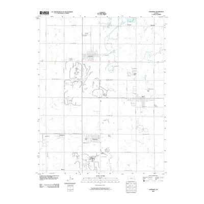 2009 Cherokee2009 Print · USGSSoutheast Kansas in the early twenty-first century reveals a landscape of enduring small-town networks and rural tradition. Researchers can trace family history through numerous local sites like Saint Bridget Cemetery, Scammon, and the streets of Weir.
 - 2009 Map of Coffeyville East, 2009 Print
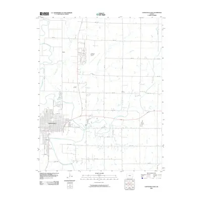 2009 Coffeyville East2009 Print · USGSThe Verdigris River valley and the eastern portion of Coffeyville are captured here in the early twenty-first century. Genealogists and local historians can locate Elmwood Cemetery, the Coffeyville Municipal Airport, and the rural Union Cemetery among the prairie creeks.
 - 2009 Map of Longton NW, 2009 Print
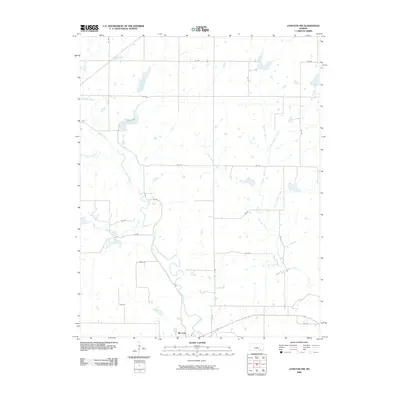 2009 Longton NW2009 Print · USGSElk Falls and the surrounding prairie lands are captured here during the first decade of the 2000s. Researchers can trace the drainage of Hitchen Creek or locate landmarks like Polk Daniels Lake and the bend of the Elk River.
 - 2009 Map of Lafontaine, 2009 Print
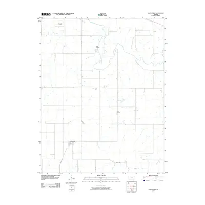 2009 Lafontaine2009 Print · USGSSoutheast Kansas at the start of the twenty-first century reveals a landscape of enduring rural settlements and quiet river valleys. Genealogists and local historians can trace family locations near Lafontaine or identify burial sites at Bachelder Cemetery and Koger Cemetery.
 - 2009 Map of Chetopa, 2009 Print
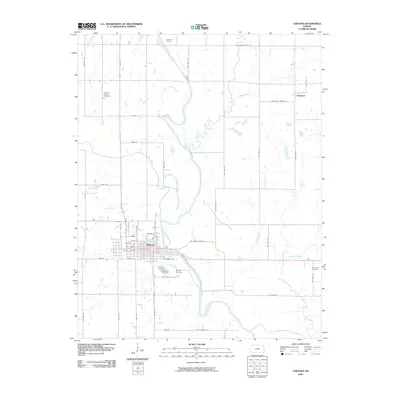 2009 Chetopa2009 Print · USGSChetopa and the Neosho River valley are captured in this early 21st-century survey of southeast Kansas. Genealogists and local historians can trace family plots at Saint Rose Cemetery or Pleasant Valley Cemetery and locate rural landmarks like Overman Bridge.
 - 2009 Map of Ulysses SW, 2009 Print
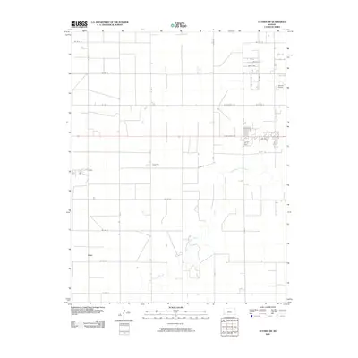 2009 Ulysses SW2009 Print · USGSGrant County is revealed here at the end of the decade as a landscape of structured prairie and critical regional infrastructure. Trace the early 2000s rural landscape through settlements like Stano, the industrial reach of the Pioneer Co-op Spur, and the winding North Fork Cimarron River.
 - 2009 Map of Melrose, 2009 Print
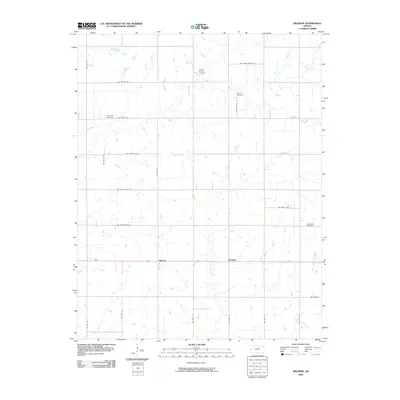 2009 Melrose2009 Print · USGSSoutheastern Kansas at the turn of the twenty-first century reveals a landscape of enduring family legacies and quiet rural hamlets. Genealogists can trace local heritage through sites like the Johnson Family Cemetery and the small settlements of Melrose and Keelville.
 - 2009 Map of Severy South, 2009 Print
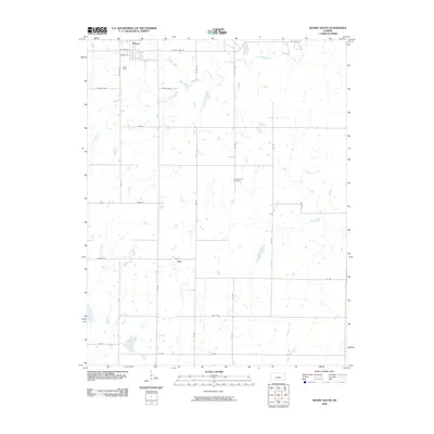 2009 Severy South2009 Print · USGSThe northern Flint Hills prairie around Severy and Fiat is captured here during the first decade of the 2000s. Genealogists and local historians can trace family roots at the Pleasant View Cemetery and follow the routes of Salt Creek and Hitchen Creek.
 - 2009 Map of Piedmont NE, 2009 Print
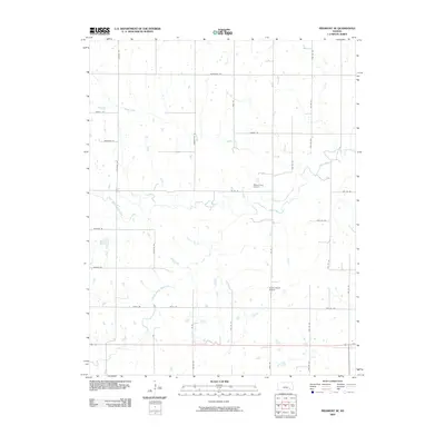 2009 Piedmont NE2009 Print · USGSGreenwood County ranching lands and rural homesteads are documented in the first decade of the new millennium. Genealogists and local researchers can trace family lands along Otter Creek and locate historic sites like Pleasant View Cemetery or the Stuber Ranch Airport.
 - 2009 Map of Madison SW, 2009 Print
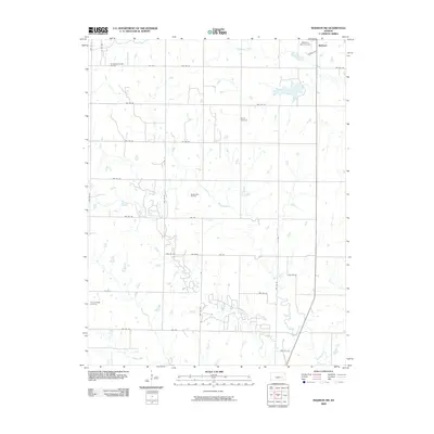 2009 Madison SW2009 Print · USGSThe rural expanse southwest of Madison was characterized by energy extraction and family farmsteads in the early twenty-first century. Genealogists can locate family landmarks like Woods Cemetery and Prairie Chapel Cemetery or trace the extent of the Seeley-Wick Oil Field.
 - 2009 Map of Hale, 2009 Print
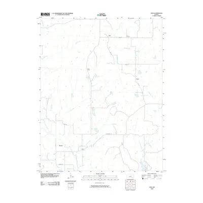 2009 Hale2009 Print · USGSChautauqua County at the turn of the millennium remains a landscape of quiet rural settlements and winding prairie creeks. Researchers can trace local genealogy at the Hale or Hardrock Cemetery, while exploring old routes like Lariat Rd.
 - 2009 Map of Elbing, 2009 Print
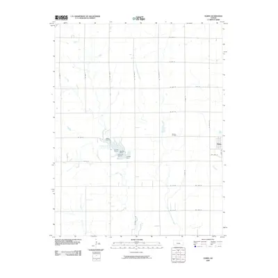 2009 Elbing2009 Print · USGSThe rural landscape of Harvey County and the community of Elbing are captured here in the first decade of the 21st century. Genealogists and local historians can trace family locations near Mission Cemetery or explore the development around Walton Landing.
 - 2009 Map of Pontiac, 2009 Print
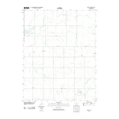 2009 Pontiac2009 Print · USGSButler County's agricultural heartland is documented here during the early 21st century, centered on the settlement of Pontiac. Researchers can trace local lineage at Economy Cemetery or explore the geography of the Long Oil Field and Bird Creek drainages.
 - 2009 Map of Elmo, 2009 Print
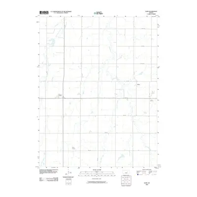 2009 Elmo2009 Print · USGSMid-century Dickinson County rural life is preserved here, showing the agricultural grid and creek systems of central Kansas. Genealogists can locate family sites near Mount Calvary Cemetery or Ashton Cemetery and the small communities of Elmo and Dillon.
 - 2009 Map of Council Grove, 2009 Print
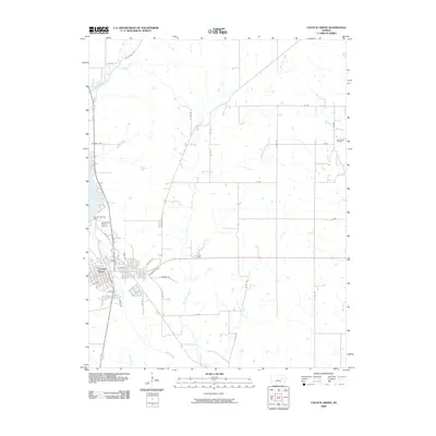 2009 Council Grove2009 Print · USGSMorris County in the late 2000s centers on the historic crossing of the Neosho River and the neighboring reservoir. Researchers can trace local landmarks like the Alexander Ranch Airport, the John Creek Oil Field, and the residential layout of Council Grove.
 - 2009 Map of Andover, 2009 Print
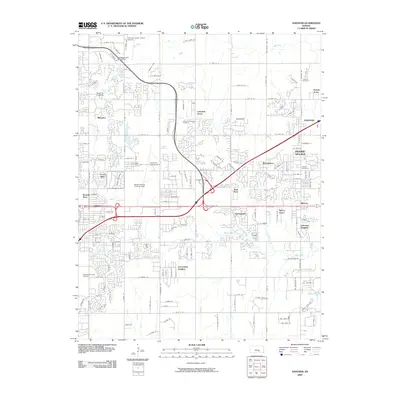 2009 Andover2009 Print · USGSAndover and eastern Wichita show a landscape of rapid suburban expansion and significant aviation industry at the close of the first decade of the 2000s. Researchers can locate specialized landmarks like the Beech Factory Landing Field and Copeland Landing Strip alongside historic sites like Minneha.
 - 2009 Map of Lapland, 2009 Print
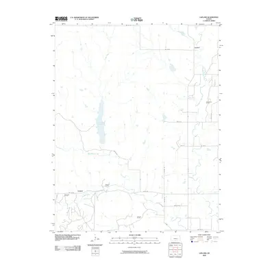 2009 Lapland2009 Print · USGSGreenwood County at the end of the first decade of the 2000s showcases a landscape of agricultural tradition and active oil extraction. Genealogists and local historians can map the rural reaches of Lapland and Ivanpah, or trace the extent of the Thrall-Aagard Oil Field and Otis Creek Reservoir.
 - 2009 Map of Carlton, 2009 Print
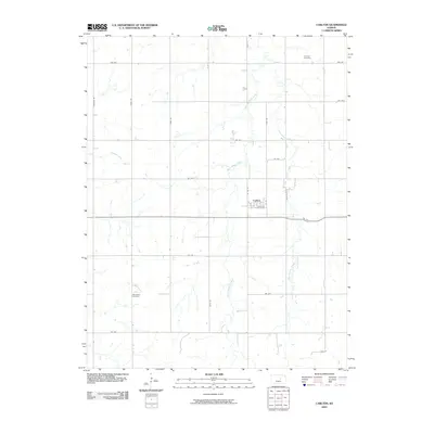 2009 Carlton2009 Print · USGSDickinson County's agricultural heartland is documented here in the early 2000s, centered on the rural community of Carlton. Genealogists and local historians can trace legacy sites like Woodlawn Cemetery, Fairview Cemetery, and the banks of West Holland Creek.
 - 2009 Map of Hamilton, 2009 Print
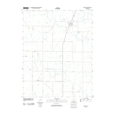 2009 Hamilton2009 Print · USGSGreenwood County at the end of the first decade of the new millennium reveals a landscape of small towns and active oil production. Researchers can trace family sites near Utopia, locate the Ott Cemetery, or explore the grounds of the Gaffney Oil Field.
 - 2009 Map of Eureka, 2009 Print
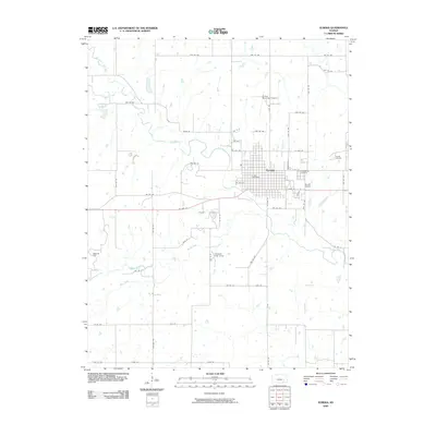 2009 Eureka2009 Print · USGSEureka and its surrounding Greenwood County prairies are captured here in the early twenty-first century as a hub of oil production and local commerce. Genealogists and researchers can locate Greenwood Cemetery, the Eureka Oil Field, and the Eureka Post Office.
 - 2009 Map of Eureka NE, 2009 Print
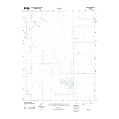 2009 Eureka NE2009 Print · USGSGreenwood County at the end of the 2000s shows a landscape of steady agricultural tradition and prairie drainage. Genealogists and local historians can trace family roots near Highland Cemetery or study the shoreline of the reservoir at Eureka City Dam.
 - 2009 Map of Americus, 2009 Print
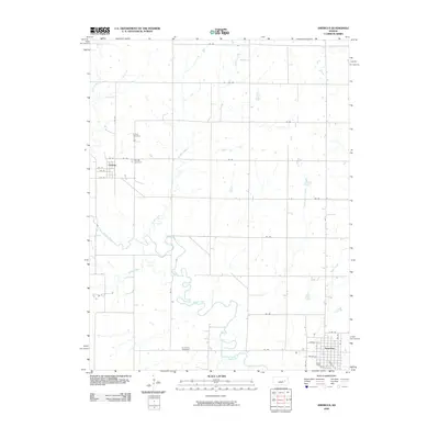 2009 Americus2009 Print · USGSLyon County at the turn of the millennium shows a landscape shaped by the winding Neosho River and a deep-rooted agricultural grid. Researchers can trace family history at the Dunlap Cemetery or study the early town layouts of Americus and Dunlap.
Showing maps 1-25 of 1,056
Top cities of Kansas
- Wichita historical maps
- Overland Park historical maps
- Kansas City historical maps
- Olathe historical maps
- Topeka historical maps
- Lawrence historical maps
See more
Top counties of Kansas
- Johnson County historical maps
- Sedgwick County historical maps
- Shawnee County historical maps
- Wyandotte County historical maps
- Douglas County historical maps
- Riley County historical maps
See more
Frequently asked questions
- What are the different types of historical maps available for Kansas?
- What is the oldest map of Kansas?
- Where can I purchase historical maps of Kansas for my home or office?
- Where can I download high-res historical maps of Kansas?
- Are there historical topographic maps available for Kansas?
- Is there historical aerial imagery available for Kansas?
- Where are historical maps of Kansas sourced from?