1960s Maps of Kansas
Explore 709 historic maps of Kansas from the 1960s. These maps offer a rare glimpse into what life looked like during the 1960s — showing old roads, neighborhoods, homes, and landmarks that have changed or disappeared over time.
Whether you're researching your family's past, planning a metal detecting trip, or studying how Kansas's landscape evolved across the 1960s, these high-resolution maps are a powerful tool for exploring the history of this region.
- Focus on a specific era: All maps on this page are from the 1960s, giving you a focused view of this time period.
- See what’s changed: Compare century-old streets, trails, and buildings to today's modern landscape using overlays and satellite layers.
- Research with precision: Use these maps for genealogy, historical research, land use analysis, or educational projects.
- View, download, or print: Maps are fully viewable online in high resolution, and can be downloaded or printed for your own records.
Start exploring Kansas's history through authentic maps from the 1960s. This is your window into the past.
Kansas maps
(709)- 1960 Map of Kansas City
 1960 Kansas City1960 Print · USGSMid-century Kansas and Missouri meet at the river forks, showing a sprawling rail-and-river economy during the 1950s growth era. Genealogists and researchers can trace tribal lands like the Kickapoo Indian Reservation or follow the early interstate corridors through Saint Joseph and Independence.3 unique versions available
 - 1960 Map of Byron, 1961 Print
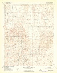
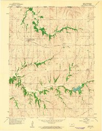
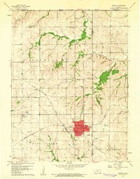
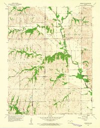
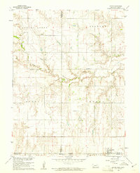 1960 Byron1961 Print · USGSThe Nebraska-Kansas borderlands in the early sixties remain a patchwork of small-town school districts and prairie parishes. Trace family history through landmarks like Bethany Ch, School No 91, and Zion Cem along the winding Spring Creek.
 - 1960 Map of Mayetta, 1961 Print
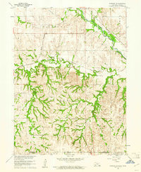
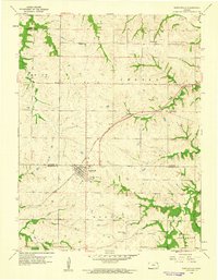
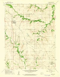
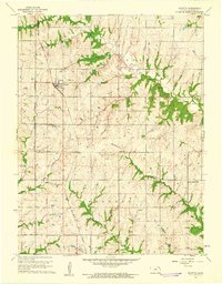 1960 Mayetta1961 Print · USGSJackson County rural life is captured here in the early sixties, as the prairie landscape transitions across the Potawatomi Indian Reservation Boundary. Genealogists can trace family footprints at Mayetta Cem or the Point Pleasant Sch along the Chicago Rock Island and Pacific rail line.2 unique versions available
 - 1960 Map of Garden City East, 1961 Print
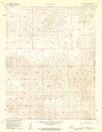
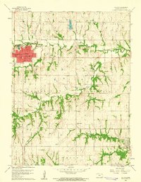
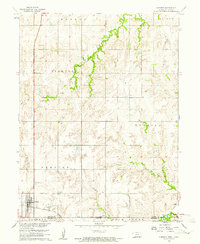
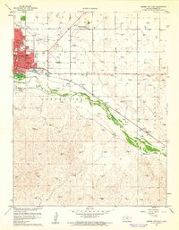 1960 Garden City East1961 Print · USGSGarden City and the Arkansas River valley are shown in detail during the early sixties as the city expanded eastward. Genealogists can trace neighborhood growth through several local schools like Garfield Sch and find burials at Valley View Cemetery.3 unique versions available
 - 1960 Map of Pawnee Rock, 1961 Print
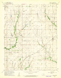
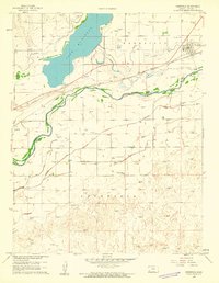
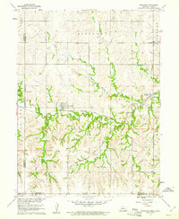
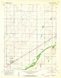 1960 Pawnee Rock1961 Print · USGSThe Kansas river valley near Pawnee Rock was a landscape of rail-driven transit and early oil exploration in the 1960s. Genealogists and historians can locate rural landmarks like Bergtal Ch, the namesake Pawnee Rock State Park, and the tracks of the Atchison Topeka and Santa Fe.2 unique versions available
 - 1960 Map of Hickok SE, 1961 Print
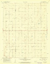 1960 Hickok SE1961 Print · USGSHaskell and Grant Counties are captured here at the start of the 1960s as energy infrastructure transformed the landscape. Researchers can trace the densification of Gas Wells across Dudley and Sullivan townships and locate the Canaan Cem.2 unique versions available
 - 1960 Map of Garden City SW, 1961 Print
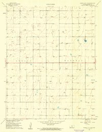
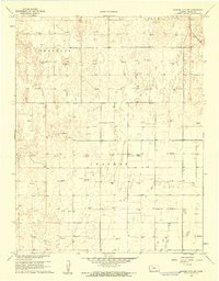 1960 Garden City SW1961 Print · USGSFinney County in the early sixties was a landscape defined by township grids and a burgeoning energy sector. Researchers can trace land ownership patterns and find landmarks like Goldamer Cem or the numerous Gas Wells throughout Ivanhoe.2 unique versions available
 - 1960 Map of Heizer, 1961 Print
 1960 Heizer1961 Print · USGSBarton County agriculture and the burgeoning oil industry meet in the 1960s along the winding Walnut Creek. Researchers can trace old rail corridors like the Atchison Topeka and Santa Fe or locate rural landmarks such as St Anthony Cem and the Walnut Ridge Sch.
 - 1960 Map of Yaggy, 1961 Print
 1960 Yaggy1961 Print · USGSReno County's agricultural heartland is documented here at the start of the 1960s, showing a landscape shaped by the Arkansas River and several major railroads. Genealogists and historians can locate old rural schools like Centennial Sch and trace the paths of the Missouri Pacific and other historic rail lines.3 unique versions available
 - 1960 Map of Deerfield SE, 1961 Print
 1960 Deerfield SE1961 Print · USGSFinney and Kearny Counties were entering a new era of petroleum production at the dawn of the sixties. Genealogists and historians can trace the intersection of ranching and industry through landmarks like Reeve Ranch and the many Gas Well sites across Ivanhoe.2 unique versions available
 - 1960 Map of Fairbury SW, 1961 Print
 1960 Fairbury SW1961 Print · USGSThe Jefferson County borderlands at the start of the 1960s reveal a landscape of rural schools and intersecting rail lines. Genealogists and historians can trace family roots through landmarks like Silver Creek Cem, Pleasant Valley Sch, and the Little Blue River valley.
 - 1960 Map of Deerfield SW, 1961 Print
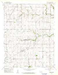
 1960 Deerfield SW1961 Print · USGSWestern Kansas high plains are captured here in the early sixties as energy extraction began to reshape the rural landscape. Geologists and local historians can trace the distribution of the Gas Well network across the townships of South Side and Kendall.2 unique versions available
 - 1960 Map of Rose Hill, 1961 Print
 1960 Rose Hill1961 Print · USGSThe Kansas prairie south of Wichita comes alive in this mid-century survey as the region's agricultural and aviation sectors expanded. Researchers can trace the heritage of Rose Hill and its surrounding townships through local landmarks like Branson Cem, Hamilton Airport, and the Atchison Topeka and Santa Fe railroad line.2 unique versions available
 - 1960 Map of Bern, 1961 Print
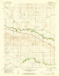
 1960 Bern1961 Print · USGSThe northern Kansas prairie comes into focus at the dawn of the 1960s, centered on the railroad town of Bern. Researchers can trace old rural schoolhouses like Union Sch and Excelsior Sch or locate family burial plots at Strahm Cem and Williams Cem.
 - 1960 Map of Nortonville, 1961 Print
 1960 Nortonville1961 Print · USGSJefferson and Atchison counties meet in this 1960s rural landscape, where the railroad defined the growth of the prairie. Genealogists can trace family roots through several country schoolhouses like Clingan Sch and early burial grounds including Noffsinger Cem.3 unique versions available
 - 1960 Map of Holton, 1961 Print
 1960 Holton1961 Print · USGSJackson County at the start of the sixties reveals a landscape of established townships and significant historical borders. Genealogists and historians can trace family-named sites and public markers such as Brick Cem, the Potawatomi Indian Res Boundary, and the Grange Hall.3 unique versions available
 - 1960 Map of Deerfield, 1961 Print
 1960 Deerfield1961 Print · USGSDeerfield and the Arkansas River valley are shown in the early 1960s during a period of significant irrigation and energy development. Genealogists and historians can trace the complex network of the Amazon Canal and Southside Ditch alongside the Lakin Cem and Pioneer Community Hall.2 unique versions available
 - 1960 Map of Sabetha, 1961 Print
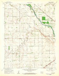
 1960 Sabetha1961 Print · USGSSabetha sits at the crossroads of two major rail lines during the early sixties, anchoring a landscape of small Kansas townships and creek-fed valleys. Genealogists and historians can trace old landmarks like the Albany Cemetery, Berwick School, and the Sabetha Municipal Landing Field.
 - 1960 Map of Fairview, 1961 Print
 1960 Fairview1961 Print · USGSBrown County's agricultural heartland is documented here at the start of the 1960s, showing a landscape defined by rail and river. Researchers can trace the path of the CHICAGO ROCK ISLAND AND PACIFIC or locate family sites like Lambertson Cem and the OLD INDIAN BOUNDARY.
 - 1960 Map of Chester, 1961 Print
 1960 Chester1961 Print · USGSThe Nebraska-Kansas border in the early sixties was a landscape of rail-connected farming communities and rural schools. Genealogists can locate family burial sites at Chester Cem or St Johns Cem and trace the path of the Chicago Burlington and Quincy railroad.2 unique versions available
 - 1960 Map of Reynolds, 1961 Print
 1960 Reynolds1961 Print · USGSJefferson County at the dawn of the sixties shows a landscape of rural school districts and dual rail lines. Genealogists can trace family footprints near Reynolds and Rose Creek Cem, or follow the path of the Chicago Burlington and Quincy railroad.2 unique versions available
 - 1960 Map of Arrington, 1961 Print
 1960 Arrington1961 Print · USGSNortheast Kansas in the early sixties reveals a landscape of rural crossroads and winding river valleys where three counties meet. Genealogists and local historians can trace family sites at Larkinburg Cem, the settlement of Nebo, and the small Landing Field near Arrington.3 unique versions available
 - 1960 Map of Garden City 3 SW, 1961 Print
 1960 Garden City 3 SW1961 Print · USGSHaskell County at the dawn of the 1960s reveals a prairie landscape transformed by the energy industry. Genealogists and historians can trace the grid of the Hugoton Gas Area through dozens of Gas Well sites and locate the Haskell Cem.3 unique versions available
 - 1960 Map of Greenwich, 1961 Print
 1960 Greenwich1961 Print · USGSIn the early sixties, the prairie surrounding Greenwich was a landscape of rail junctions, oil production, and deep-rooted farming communities. Genealogists can trace family connections at Greenwich Cem, Palmyra Ch, and along the historic Old Indian Boundary.3 unique versions available
 - 1960 Map of Derby, 1961 Print
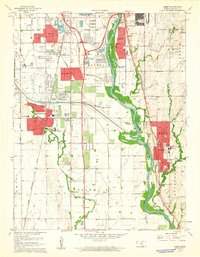 1960 Derby1961 Print · USGSThe Arkansas River valley south of Wichita appears here in the early sixties as suburban growth begins to overtake rural townships. Researchers can trace family roots through several local landmarks like Waco Cem, St Marys Sch, and the riverside community of Derby.4 unique versions available
Showing maps 1-25 of 709
Top cities of Kansas
- Wichita historical maps
- Overland Park historical maps
- Kansas City historical maps
- Olathe historical maps
- Topeka historical maps
- Lawrence historical maps
See more
Top counties of Kansas
- Johnson County historical maps
- Sedgwick County historical maps
- Shawnee County historical maps
- Wyandotte County historical maps
- Douglas County historical maps
- Riley County historical maps
See more
Frequently asked questions
- What are the different types of historical maps available for Kansas?
- What is the oldest map of Kansas?
- Where can I purchase historical maps of Kansas for my home or office?
- Where can I download high-res historical maps of Kansas?
- Are there historical topographic maps available for Kansas?
- Is there historical aerial imagery available for Kansas?
- Where are historical maps of Kansas sourced from?