1970s Maps of Kansas
Explore 604 historic maps of Kansas from the 1970s. These maps offer a rare glimpse into what life looked like during the 1970s — showing old roads, neighborhoods, homes, and landmarks that have changed or disappeared over time.
Whether you're researching your family's past, planning a metal detecting trip, or studying how Kansas's landscape evolved across the 1970s, these high-resolution maps are a powerful tool for exploring the history of this region.
- Focus on a specific era: All maps on this page are from the 1970s, giving you a focused view of this time period.
- See what’s changed: Compare century-old streets, trails, and buildings to today's modern landscape using overlays and satellite layers.
- Research with precision: Use these maps for genealogy, historical research, land use analysis, or educational projects.
- View, download, or print: Maps are fully viewable online in high resolution, and can be downloaded or printed for your own records.
Start exploring Kansas's history through authentic maps from the 1970s. This is your window into the past.
Kansas maps
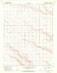
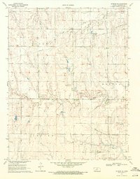
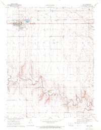
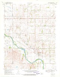
(604)- 1970 Map of Jetmore SE, 1971 Print
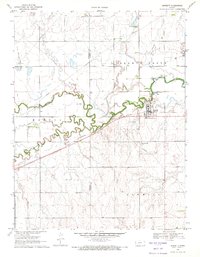
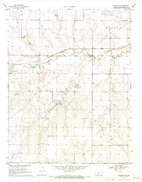 1970 Jetmore SE1971 Print · USGSWestern Kansas ranching and energy production intersect in the 1970s along the Buckner Creek valley. Researchers can trace the Atchison Topeka and Santa Fe rail line or locate specific historical sites like the Lippoldt Oil Field and Hodgeman County State Park.
 - 1970 Map of Hanston, 1971 Print
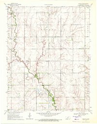
 1970 Hanston1971 Print · USGSHodgeman County's agricultural and energy landscape comes into focus around 1970, centered on the community of Hanston. Researchers can trace early infrastructure and family landmarks through features like St Anthony Cem, the Orwell settlement, and several active oil fields.
 - 1970 Map of Selkirk SW, 1971 Print
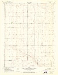
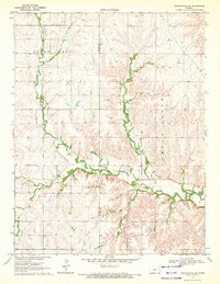
 1970 Selkirk SW1971 Print · USGSGreeley and Hamilton counties meet in this western Kansas landscape surveyed during the late 1960s. Researchers can trace the section-line roads and administrative divisions of Harrison and Richland townships across this high plains terrain.
 - 1970 Map of Sharon Springs 4 SE, 1971 Print
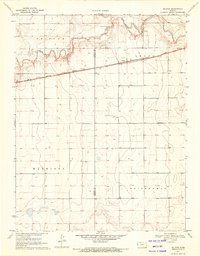
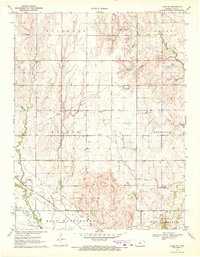
 1970 Sharon Springs 4 SE1971 Print · USGSWestern Kansas townships near the Greeley and Wichita county line are captured here in the early 1970s. Local researchers can locate family landmarks like St Theresa Ch, a community Cem, and the drainage of Ladder Creek in the townships of Tribune and Leoti.2 unique versions available
 - 1970 Map of Sharon Springs 3 SE, 1971 Print
 1970 Sharon Springs 3 SE1971 Print · USGSGreeley County is captured in the early 1970s as a quiet agricultural expanse defined by the townships of Colony and Tribune. Genealogists and historians can trace old property boundaries near White Woman Creek and locate early industrial sand and gravel pits.2 unique versions available
 - 1970 Map of Sharon Springs 4 SW, 1971 Print
 1970 Sharon Springs 4 SW1971 Print · USGSGreeley County in the early seventies shows a landscape of wide-open townships and a growing energy footprint. Genealogists and local historians can locate early industrial sites like the Gravel Pit and numerous resource markers such as a Gas Well or Well scattered across Tribune.2 unique versions available
 - 1970 Map of Fort Larned, 1971 Print
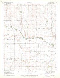
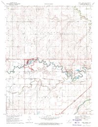 1970 Fort Larned1971 Print · USGSPawnee County is captured in the early 1970s as a landscape shaped by historical preservation and institutional growth along the river. Trace the grounds of the Fort Larned National Historic Site and the rail-side settlements of Frizell and Hamburg.
 - 1970 Map of Hanston NW, 1971 Print
 1970 Hanston NW1971 Print · USGSWestern Kansas at the start of the 1970s shows a landscape shaped by its waterways and the steel of the Atchison Topeka and Santa Fe. Genealogists and local historians can locate the Hanston Cem, the Hodgeman Community Ch, and Dungans Crossing.
 - 1970 Map of Rozel, 1971 Print
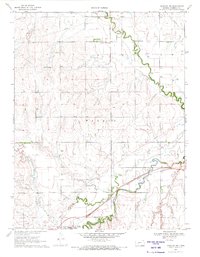
 1970 Rozel1971 Print · USGSPawnee County farming communities thrive along the river valleys in the early seventies. Genealogists and local historians can trace the town of Rozel, the Rozel Cem, and the regional influence of the Atchison Topeka and Santa Fe railroad.
 - 1970 Map of Jetmore NE, 1971 Print
 1970 Jetmore NE1971 Print · USGSWestern Hodgeman County at the start of the 1970s shows a landscape shaped by the petroleum industry and rural settlement. Researchers can trace the development of the Hanston - Oppy Oil Field or locate the local Mennonite Ch and Cem.
 - 1970 Map of Jetmore NW, 1971 Print
 1970 Jetmore NW1971 Print · USGSHodgeman County in the early seventies shows a landscape where prairie agriculture meets the petroleum boom. Researchers can trace the development of energy infrastructure through the Goebel East Oil Field, the Pawnee River valley, and several localized Drill Holes.
 - 1970 Map of Sanford, 1971 Print
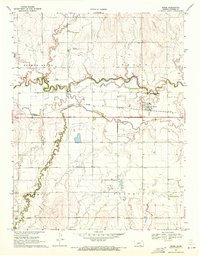
 1970 Sanford1971 Print · USGSPawnee County's agricultural and rail corridor is captured here in the early seventies, centered on the Pawnee River. Trace local genealogy and land use through the settlement at Sanford, the Bert-Wettar site, and landmarks like Moffet Bridge.
 - 1970 Map of Selkirk SE, 1971 Print
 1970 Selkirk SE1971 Print · USGSFour Kansas counties converge in the High Plains during the early seventies, revealing a landscape of large-scale agriculture and early energy development. Genealogists and historians can locate a rural Cem and trace the paths of a Pipeline and scattered Oil Wells.
 - 1970 Map of Selkirk, 1971 Print
 1970 Selkirk1971 Print · USGSThe High Plains of western Kansas are captured here in the early 1970s, centered on the railroad siding of Selkirk. Genealogists and historians can trace the Missouri Pacific rail line, find the local cemetery, and follow the path of White Woman Creek.
 - 1970 Map of Burdett, 1971 Print
 1970 Burdett1971 Print · USGSThe rural landscape around the Pawnee River is captured here during the 1970s, showing the intersection of rail, water, and local aviation. Researchers can locate the Browns Grove Cem and trace the Atchison Topeka and Santa Fe line through Burdett.
 - 1970 Map of Horse Thief Canyon, 1971 Print
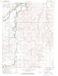
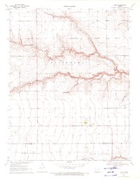
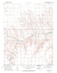 1970 Horse Thief Canyon1971 Print · USGSHigh plains topography and remote townships define this Hodgeman County landscape in the early seventies. Researchers can trace the drainage of Buckner Creek or locate local landmarks like the Caliche Pit and Horse Thief Canyon across the townships of Hallet and Benton.
 - 1970 Map of Lyons, 1972 Print
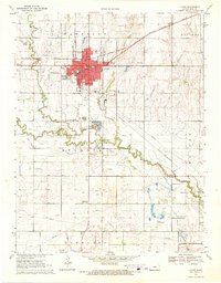 1970 Lyons1972 Print · USGSLyons stood as a critical Kansas rail junction in the early seventies, where three major railroads met amidst a landscape shaped by petroleum and agriculture. Genealogists and local historians can trace family-named schools and sites like Saxman, Municipal Cemetery, and the Shumway Oil Field.
 - 1970 Map of Rush Center SW, 1972 Print
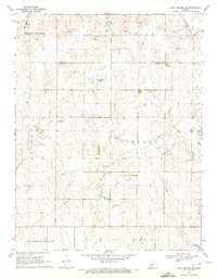 1970 Rush Center SW1972 Print · USGSThe Rush and Pawnee County borderlands are shown here in the early 1970s, at a time when petroleum production was reshaping the prairie. Researchers can trace the development of the Shiley Oil Field and Oro Oil Field or locate the local Townhall.
 - 1970 Map of Leoti, 1972 Print
 1970 Leoti1972 Print · USGSLeoti and the High Plains of western Kansas are documented here in the early seventies, centered on the railroad and local ranching interests. Genealogists and local historians can trace the Missouri Pacific line, the County Cem, and the small settlement of Coronado.2 unique versions available
 - 1970 Map of Chase NE, 1972 Print
 1970 Chase NE1972 Print · USGSRice County agriculture meets energy production in the early seventies, as the petroleum industry reshaped this prairie landscape. Genealogists and historians can trace rural school districts like Sunny Four Sch and the church community at Ebenezer Ch.
 - 1970 Map of Bazine SE, 1972 Print
 1970 Bazine SE1972 Print · USGSPawnee and Ness Counties are captured here during a peak era of petroleum production in the early seventies. Genealogists and local historians can trace the specific locations of the Schadel Oil Field, Steffen Oil Field, and landmarks like High Point.
 - 1970 Map of Lincolnville NE, 1972 Print
 1970 Lincolnville NE1972 Print · USGSThe Flint Hills border of Marion and Chase counties is captured here in the early seventies, showing a landscape defined by deep creek valleys and open range. Researchers can trace family history at Elk Cem or locate early industrial sites like the local Quarry and Oil Well.
 - 1970 Map of Lyons SE, 1972 Print
 1970 Lyons SE1972 Print · USGSRice County at the start of the seventies reveals a landscape defined by petroleum production and rail transit. Researchers can trace the St Louis - San Francisco line past the Welch Bornholdt Oil Field and the small settlement of Saxman.
 - 1970 Map of Raymond, 1972 Print
 1970 Raymond1972 Print · USGSThe Arkansas River valley in the early 1970s shows a landscape defined by the Atchison Topeka and Santa Fe railroad and local energy production. Genealogists and historians can locate Hilltop Cem, the settlement of Silica, and the extensive Chase Silica Oil Field.
 - 1970 Map of Lydia, 1972 Print
 1970 Lydia1972 Print · USGSWestern Kansas at the start of the 1970s shows a landscape of expansive section lines and vital watercourses. Genealogists and researchers can locate landmarks like Lydia, the Grand Union Sch, and the Kuhlmann Landing Field along the White Woman Creek.
Showing maps 1-25 of 604
Top cities of Kansas
- Wichita historical maps
- Overland Park historical maps
- Kansas City historical maps
- Olathe historical maps
- Topeka historical maps
- Lawrence historical maps
See more
Top counties of Kansas
- Johnson County historical maps
- Sedgwick County historical maps
- Shawnee County historical maps
- Wyandotte County historical maps
- Douglas County historical maps
- Riley County historical maps
See more
Frequently asked questions
- What are the different types of historical maps available for Kansas?
- What is the oldest map of Kansas?
- Where can I purchase historical maps of Kansas for my home or office?
- Where can I download high-res historical maps of Kansas?
- Are there historical topographic maps available for Kansas?
- Is there historical aerial imagery available for Kansas?
- Where are historical maps of Kansas sourced from?