2000s (21st Century) Maps of Kansas
Explore 7,734 historic maps of Kansas from the 2000s (21st Century). These maps offer a rare glimpse into what life looked like during the 2000s — showing old roads, neighborhoods, homes, and landmarks that have changed or disappeared over time.
Whether you're researching your family's past, planning a metal detecting trip, or studying how Kansas's landscape evolved across the 2000s, these high-resolution maps are a powerful tool for exploring the history of this region.
- Focus on a specific era: All maps on this page are from the 2000s, giving you a focused view of this time period.
- See what’s changed: Compare century-old streets, trails, and buildings to today's modern landscape using overlays and satellite layers.
- Research with precision: Use these maps for genealogy, historical research, land use analysis, or educational projects.
- View, download, or print: Maps are fully viewable online in high resolution, and can be downloaded or printed for your own records.
Start exploring Kansas's history through authentic maps from the 2000s. This is your window into the past.
Kansas maps
(7,734)- 2009 Map of Chautauqua, 2009 Print
 2009 Chautauqua2009 Print · USGSCovers Kansas, including Sedan, Chautauqua, and other nearby areas
 - 2009 Map of Elk Falls, 2009 Print
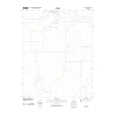 2009 Elk Falls2009 Print · USGSCovers Kansas, including Elk Falls, Chautauqua County, and other nearby areas
 - 2009 Map of Cherryvale, 2009 Print
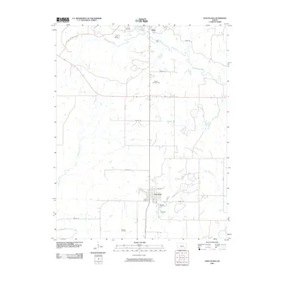
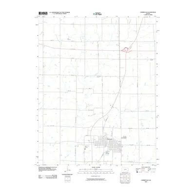 2009 Cherryvale2009 Print · USGSCovers Kansas, including Parsons, Cherryvale, and other nearby areas
 - 2009 Map of Cherokee, 2009 Print
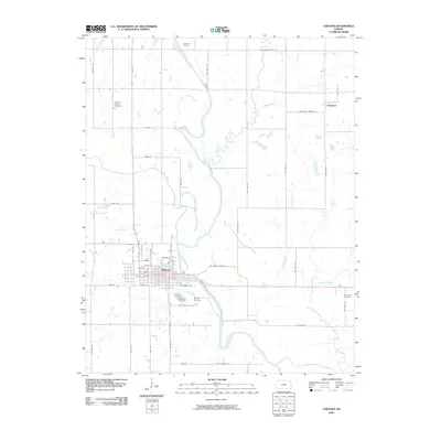
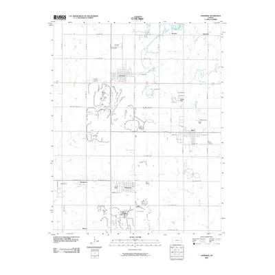 2009 Cherokee2009 Print · USGSCovers Kansas, including Weir, Cherokee, and other nearby areas
 - 2009 Map of Coffeyville East, 2009 Print
 2009 Coffeyville East2009 Print · USGSCovers Kansas, including Coffeyville, Avian, and other nearby areas
 - 2009 Map of Longton NW, 2009 Print
 2009 Longton NW2009 Print · USGSCovers Kansas, including Elk Falls, Elk County, and other nearby areas
 - 2009 Map of Lafontaine, 2009 Print
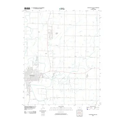
 2009 Lafontaine2009 Print · USGSCovers Kansas, including Lafontaine, Montgomery County, and other nearby areas
 - 2009 Map of Chetopa, 2009 Print
 2009 Chetopa2009 Print · USGSCovers Kansas, including Chetopa, Faulkner, and other nearby areas
 - 2009 Map of Ulysses SW, 2009 Print
 2009 Ulysses SW2009 Print · USGSCovers Kansas, including Ulysses, Sherman Township, and other nearby areas
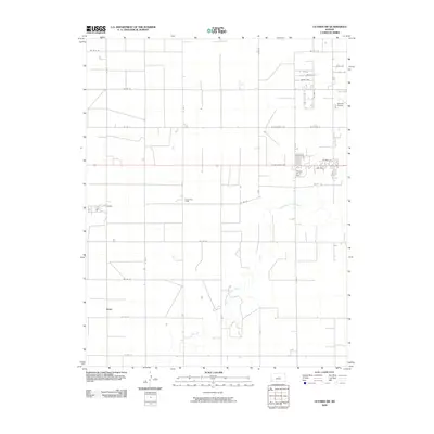
 - 2009 Map of Melrose, 2009 Print
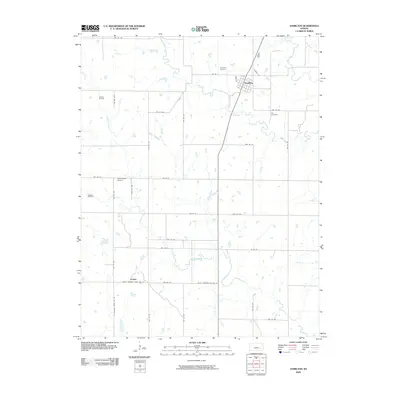
 2009 Melrose2009 Print · USGSCovers Kansas, including Melrose, Keelville, and other nearby areas
 - 2009 Map of Severy South, 2009 Print
 2009 Severy South2009 Print · USGSCovers Kansas, including Severy, Ashley, and other nearby areas
 - 2009 Map of Piedmont NE, 2009 Print
 2009 Piedmont NE2009 Print · USGSCovers Kansas, including Greenwood County, United States, and other nearby areas
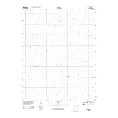
 - 2009 Map of Madison SW, 2009 Print
 2009 Madison SW2009 Print · USGSCovers Kansas, including Madison, Greenwood County, and other nearby areas
 - 2009 Map of Hale, 2009 Print
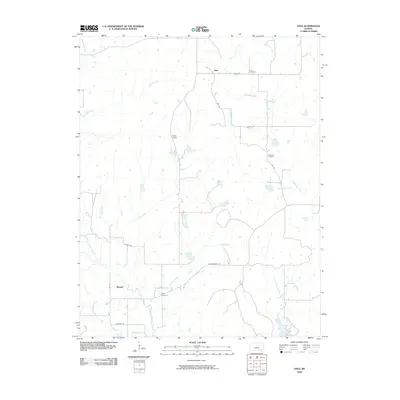 2009 Hale2009 Print · USGSCovers Kansas, including Hale, Monett, and other nearby areas
 - 2009 Map of Elbing, 2009 Print
 2009 Elbing2009 Print · USGSCovers Kansas, including Walton, Elbing, and other nearby areas
 - 2009 Map of Pontiac, 2009 Print
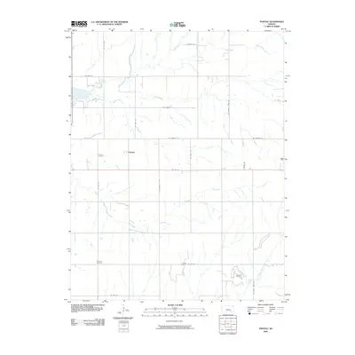 2009 Pontiac2009 Print · USGSCovers Kansas, including Pontiac, Butler County, and other nearby areas
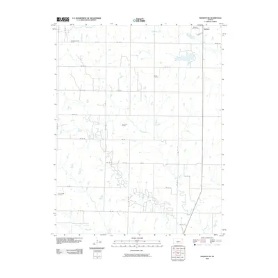
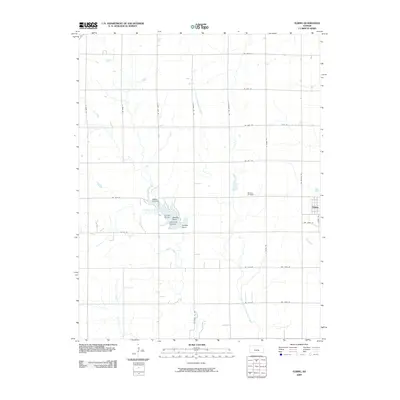
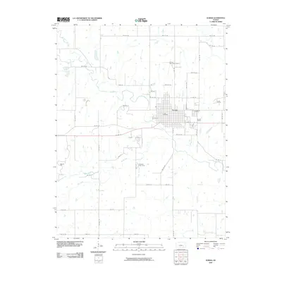
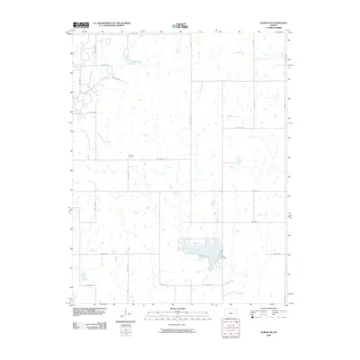
 - 2009 Map of Elmo, 2009 Print
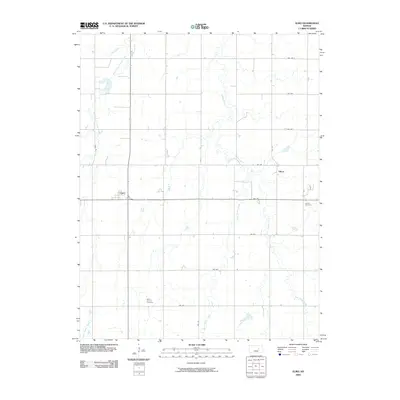 2009 Elmo2009 Print · USGSCovers Kansas, including Elmo, Dillon, and other nearby areas
 - 2009 Map of Council Grove, 2009 Print
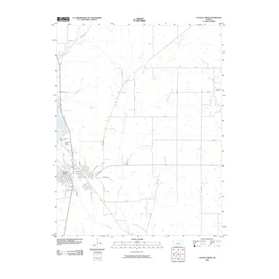 2009 Council Grove2009 Print · USGSCovers Kansas, including Council Grove, Wabaunsee County, and other nearby areas
 - 2009 Map of Andover, 2009 Print
 2009 Andover2009 Print · USGSCovers Kansas, including Wichita, Andover, and other nearby areas
 - 2009 Map of Lapland, 2009 Print
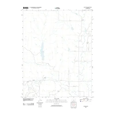 2009 Lapland2009 Print · USGSCovers Kansas, including Ivanpah, Lapland, and other nearby areas
 - 2009 Map of Carlton, 2009 Print
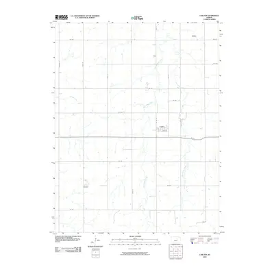 2009 Carlton2009 Print · USGSCovers Kansas, including Carlton, Saline County, and other nearby areas
 - 2009 Map of Hamilton, 2009 Print
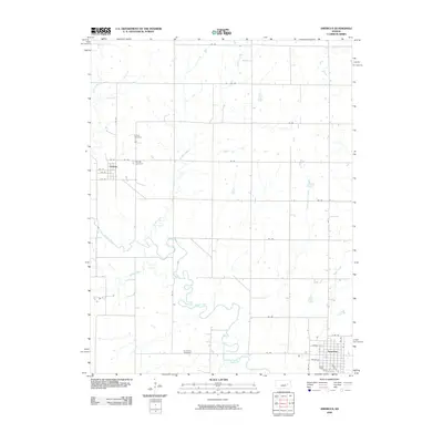
 2009 Hamilton2009 Print · USGSCovers Kansas, including Hamilton, Utopia, and other nearby areas
 - 2009 Map of Eureka, 2009 Print
 2009 Eureka2009 Print · USGSCovers Kansas, including Eureka, Greenwood County, and other nearby areas
 - 2009 Map of Eureka NE, 2009 Print
 2009 Eureka NE2009 Print · USGSCovers Kansas, including Greenwood County, United States, and other nearby areas
 - 2009 Map of Americus, 2009 Print
 2009 Americus2009 Print · USGSCovers Kansas, including Americus, Dunlap, and other nearby areas
Showing maps 1-25 of 7,734
Top cities of Kansas
- Wichita historical maps
- Overland Park historical maps
- Kansas City historical maps
- Olathe historical maps
- Topeka historical maps
- Lawrence historical maps
See more
Top counties of Kansas
- Johnson County historical maps
- Sedgwick County historical maps
- Shawnee County historical maps
- Wyandotte County historical maps
- Douglas County historical maps
- Riley County historical maps
See more
Frequently asked questions
- What are the different types of historical maps available for Kansas?
- What is the oldest map of Kansas?
- Where can I purchase historical maps of Kansas for my home or office?
- Where can I download high-res historical maps of Kansas?
- Are there historical topographic maps available for Kansas?
- Is there historical aerial imagery available for Kansas?
- Where are historical maps of Kansas sourced from?