2010s Maps of Scott County, Kansas
Explore 60 historic maps of Scott County from the 2010s. These maps offer a rare glimpse into what life looked like during the 2010s — showing old roads, neighborhoods, homes, and landmarks that have changed or disappeared over time.
Whether you're researching your family's past, planning a metal detecting trip, or studying how Scott County's landscape evolved across the 2010s, these high-resolution maps are a powerful tool for exploring the history of this region.
- Focus on a specific era: All maps on this page are from the 2010s, giving you a focused view of this time period.
- See what’s changed: Compare century-old streets, trails, and buildings to today's modern landscape using overlays and satellite layers.
- Research with precision: Use these maps for genealogy, historical research, land use analysis, or educational projects.
- View, download, or print: Maps are fully viewable online in high resolution, and can be downloaded or printed for your own records.
Start exploring Scott County's history through authentic maps from the 2010s. This is your window into the past.
Scott County, KS maps
(60)- 2012 Map of Lake Scott SW, 2012 Print
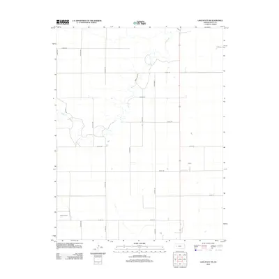 2012 Lake Scott SW2012 Print · USGSWestern Kansas at the start of the second decade of the millennium shows a landscape defined by industrial agriculture and the winding path of Ladder Cr.. Researchers can trace regional transport and rural land use through landmarks like Buehler Airport and the grid of section roads from N Indian Rd to N Kansas Rd.
 - 2012 Map of Tractor, 2012 Print
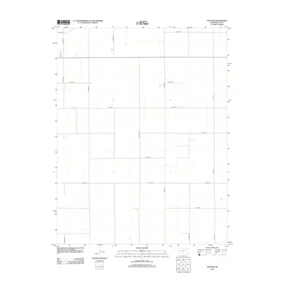 2012 Tractor2012 Print · USGSScott County, Kansas, is documented in the early twenty-first century as a landscape of structured agricultural grids. Researchers can trace rural property boundaries and regional routes like Tractor, N Navaho Rd, and S Quiviera Rd.
 - 2012 Map of Lake Scott, 2012 Print
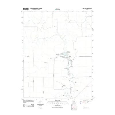 2012 Lake Scott2012 Print · USGSWestern Kansas at the start of the 2010s reveals a landscape defined by deep canyons and historic landmarks. Genealogists and historians can trace the paths around Lake Scott to find the Squaws Den Battleground, Camp Lakeside, and the McBride Monument.
 - 2012 Map of Healy NW, 2012 Print
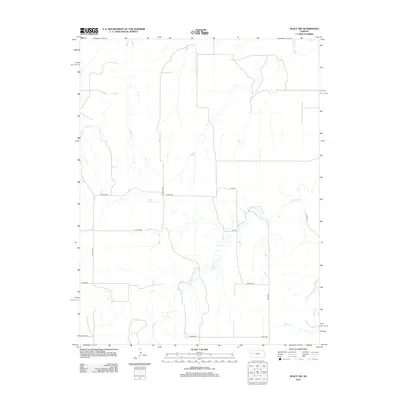 2012 Healy NW2012 Print · USGSThe western Kansas plains in the early 2010s are defined here by the intersection of the Smoky Hill River and a rigid sectional road grid. Genealogists and land researchers can trace the drainage of Hell Cr and locate specific rural markers like Bison II.
 - 2012 Map of Manning, 2012 Print
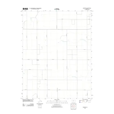 2012 Manning2012 Print · USGSScott County agriculture and the rural settlement of Manning are captured here during the early twenty-first century. Genealogists and local historians can trace the local road network and watercourses like Middle Fork Walnut Cr and W Salt Cr.
 - 2012 Map of Scott City, 2012 Print
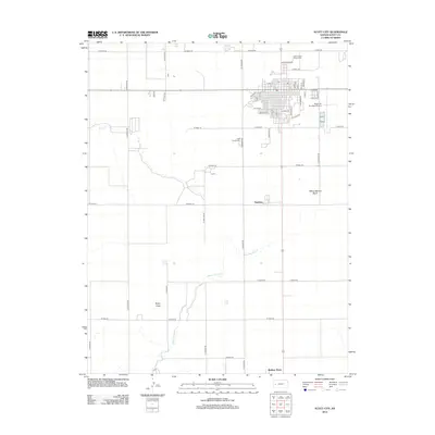 2012 Scott City2012 Print · USGSWestern Kansas agricultural life is captured here in the early twenty-first century, centered on a thriving county seat. Local researchers can locate the Scott County Cem or trace the small settlements of Hutchins and Shallow Water along the Kansas plains.
 - 2012 Map of Amy SW, 2012 Print
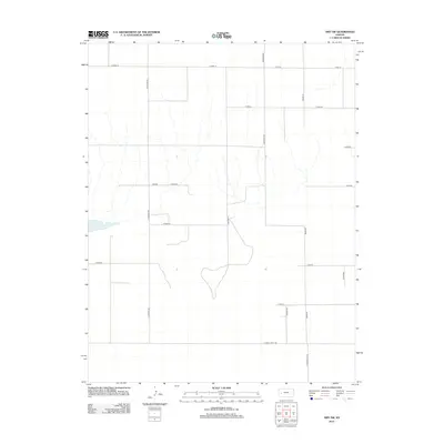 2012 Amy SW2012 Print · USGSFinney County’s rural agricultural landscape is captured here in the early twenty-first century. Genealogists and local historians can trace the precise section-line boundaries and rural routes including N Mennonite Rd, Cheyenne, and the area surrounding Dry Lake.
 - 2012 Map of Shallow Water, 2012 Print
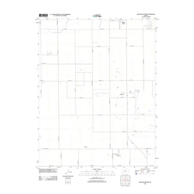 2012 Shallow Water2012 Print · USGSScott County agriculture and rural life are documented here during the early twenty-first century. Researchers can trace local landmarks like Prairie View Cem and the small settlements of Shallow Water, Chevron, and Friend.
 - 2012 Map of Pawnee Mound, 2012 Print
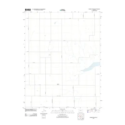 2012 Pawnee Mound2012 Print · USGSFinney County’s high plains and ephemeral water features are clearly visible in this early twenty-first-century survey. Researchers can trace the rural landscape between Pawnee Mound and Dry Lake while exploring the grid of Osage Rd and S Rodeo Rd.
 - 2012 Map of Lake Scott SE, 2012 Print
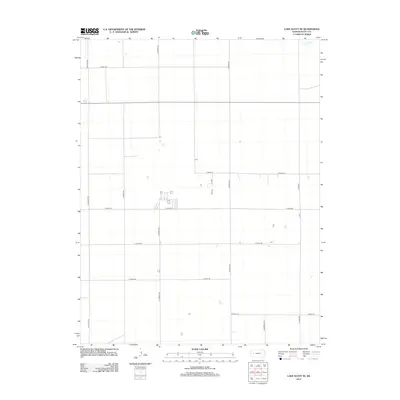 2012 Lake Scott SE2012 Print · USGSScott County, Kansas, is seen here in the early twenty-first century as a meticulously surveyed agricultural landscape defined by its grid of section-line roads. Researchers can trace rural property access and drainage along W Salt Cr or follow the paths of N Pawnee Rd and N Taos Rd.
 - 2012 Map of Grigston, 2012 Print
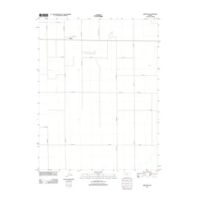 2012 Grigston2012 Print · USGSGrigston and the surrounding plains of Scott County are captured here in the early twenty-first century as a landscape of structured agricultural production. Genealogists and local historians can trace the road network of this prairie community, from Grigston to N Wichita Scott Rd and Bison Rd.
 - 2012 Map of Lake Scott NE, 2012 Print
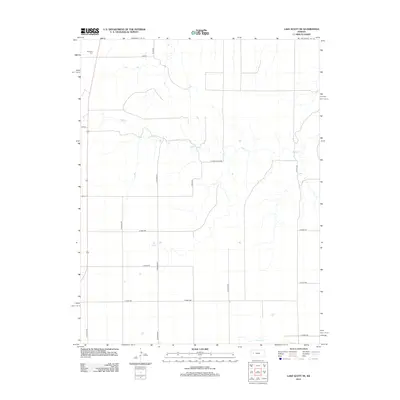 2012 Lake Scott NE2012 Print · USGSLogan County in the early twenty-first century remains a landscape of sprawling ranch land and agricultural grids. Genealogists and local historians can locate Keystone Cem and trace the drainage of Hell Cr or the natural flow of Big Springs.
 - 2012 Map of Marienthal, 2012 Print
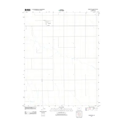 2012 Marienthal2012 Print · USGSMarienthal and the surrounding Kansas plains are documented in this twenty-first-century survey during a period of steady agricultural continuity. Researchers can trace the local cemetery at Saint Mary's Cem and follow the route of White Woman Cr through the rural landscape.
 - 2012 Map of Modoc, 2012 Print
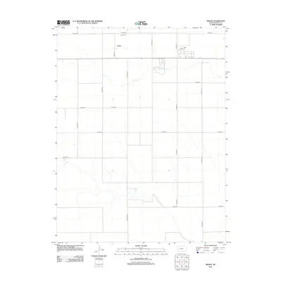 2012 Modoc2012 Print · USGSThe High Plains of western Kansas are seen here in the early twenty-first century, centered on the rural community of Modoc. Researchers can locate family sites near Modoc Cem and follow the natural drainage of Lion Cr through the grid of S Cherokee Rd.
 - 2012 Map of Pence SW, 2012 Print
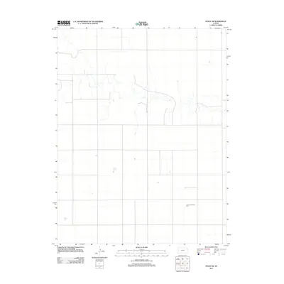 2012 Pence SW2012 Print · USGSWichita County’s rural landscape is captured here in the early twenty-first century, showcasing the enduring township grid system and modern energy development. Researchers can trace the layout of the Central Plains Wind Farm and explore the network of section-line roads that define the local agricultural economy.
 - 2012 Map of Pence NW, 2012 Print
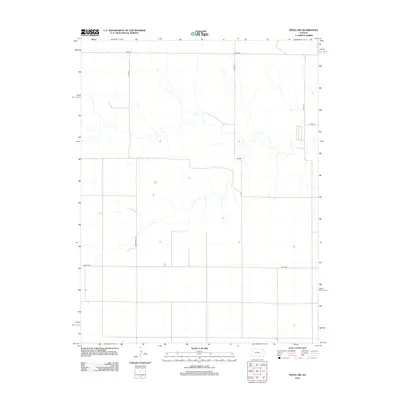 2012 Pence NW2012 Print · USGSWestern Kansas at the start of the 2010s reveals a structured agricultural landscape shaped by a precise section-line grid. Genealogists and local historians can trace rural property layouts and access routes like Marienthal Rd, Pence Rd, and Adobe.
 - 2012 Map of Modoc SW, 2012 Print
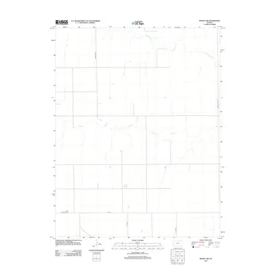 2012 Modoc SW2012 Print · USGSWichita County is captured in this early twenty-first century survey, showing the grid-iron precision of its rural roads and prairie drainage. Genealogists and local historians can locate the Lydia Methodist Cem and trace the paths of White Woman Cr and Sand Cr.
 - 2012 Map of Modoc SE, 2012 Print
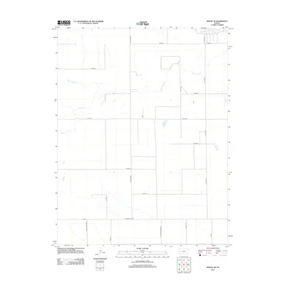 2012 Modoc SE2012 Print · USGSFinney County’s High Plains are captured here in the early 2010s, showing a vast agricultural grid defined by the intermittent flows of White Woman Cr. Researchers can trace the layout of rural section lines like W Finney Scott Rd and S Eagle Rd.
 - 2012 Map of Pence SE, 2012 Print
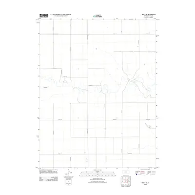 2012 Pence SE2012 Print · USGSWestern Kansas at the start of the decade reveals a vast agricultural grid shaped by high-plains topography. Trace rural family homesteads and farm boundaries along N Beaver Rd, N Cherokee Rd, and the drainage draws near W Road 210.
 - 2012 Map of Pence, 2012 Print
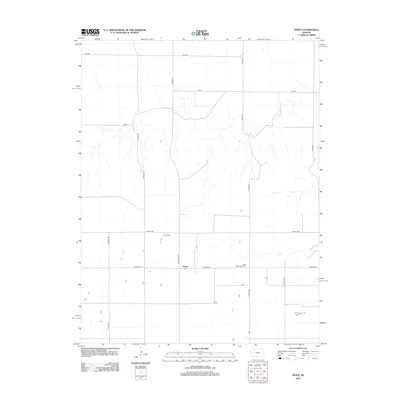 2012 Pence2012 Print · USGSThe settlement of Pence and its surrounding Scott County plains are captured here in the early twenty-first century. Genealogists and local historians can locate the Pence Cem and Scott Mennonite Cem along the grid of W Road 270.
 - 2015 Map of Pawnee Mound, 2015 Print
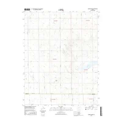 2015 Pawnee Mound2015 Print · USGSWestern Kansas at the start of the twenty-first century reveals a landscape defined by industrial-scale agriculture and topographic landmarks. Genealogists and land researchers can trace property boundaries along E Finney Scott Rd or locate natural features like Pawnee Mound and Dry Lake.
 - 2015 Map of Amy SW, 2015 Print
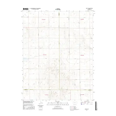 2015 Amy SW2015 Print · USGSFinney County and the surrounding tri-county borderlands are documented in the mid-2010s, showcasing a landscape shaped by rural industry. Genealogists and historians can trace property boundaries along S Venison Rd and locate the distinctive basin of Dry Lake.
 - 2015 Map of Marienthal, 2015 Print
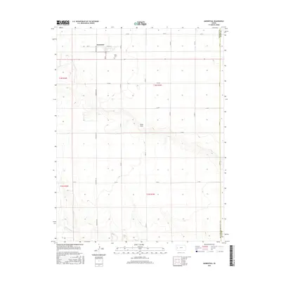 2015 Marienthal2015 Print · USGSWichita County agriculture and local history are centered on the community of Marienthal in this modern survey. Researchers can trace the section-line roads and find family landmarks like Saint Mary's Cem, Rocky Draw, and the course of White Woman Cr.
 - 2015 Map of Lake Scott SW, 2015 Print
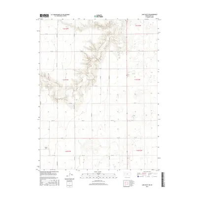 2015 Lake Scott SW2015 Print · USGSScott County ranching and aviation come into focus in this recent survey of the western Kansas plains. Genealogists and local historians can trace the rural property layout along N Herford Rd, locate the Buehler Airport, and see the terrain shifts near Omega Ranch Dr.
 - 2015 Map of Modoc SE, 2015 Print
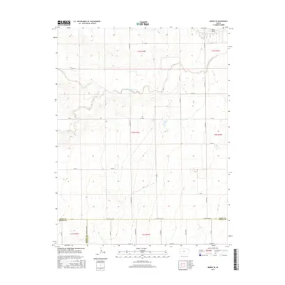 2015 Modoc SE2015 Print · USGSFinney and Scott counties meet in this modern survey of the High Plains during the mid-2010s. Researchers can trace the section-line roads and drainage patterns of White Woman Cr, Sand Cr, and W Finney Scott Rd.
Showing maps 1-25 of 60
Top cities of Scott County
Frequently asked questions
- What are the different types of historical maps available for Scott County?
- What is the oldest map of Scott County?
- Where can I purchase historical maps of Scott County for my home or office?
- Where can I download high-res historical maps of Scott County?
- Are there historical topographic maps available for Scott County?
- Is there historical aerial imagery available for Scott County?
- Where are historical maps of Scott County sourced from?