1960s Maps of Kentucky
Explore 736 historic maps of Kentucky from the 1960s. These maps offer a rare glimpse into what life looked like during the 1960s — showing old roads, neighborhoods, homes, and landmarks that have changed or disappeared over time.
Whether you're researching your family's past, planning a metal detecting trip, or studying how Kentucky's landscape evolved across the 1960s, these high-resolution maps are a powerful tool for exploring the history of this region.
- Focus on a specific era: All maps on this page are from the 1960s, giving you a focused view of this time period.
- See what’s changed: Compare century-old streets, trails, and buildings to today's modern landscape using overlays and satellite layers.
- Research with precision: Use these maps for genealogy, historical research, land use analysis, or educational projects.
- View, download, or print: Maps are fully viewable online in high resolution, and can be downloaded or printed for your own records.
Start exploring Kentucky's history through authentic maps from the 1960s. This is your window into the past.
Kentucky maps
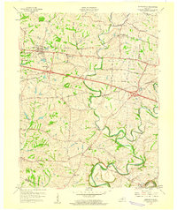
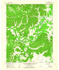
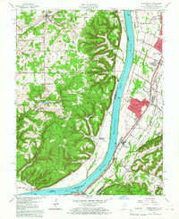
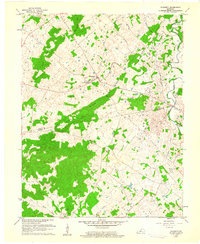
- 1960 Map of Jenkins
 1960 Jenkins1960 Print · USGSCovers Kentucky, including Pikeville, Hazard, and other nearby areas
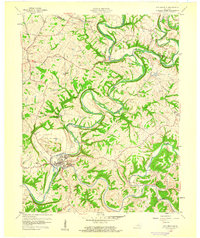
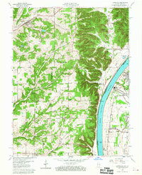
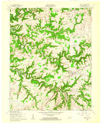
 - 1960 Map of Huntington
 1960 Huntington1960 Print · USGSCovers Kentucky, including Huntington, Ashland, and other nearby areas
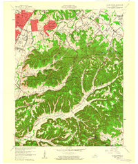
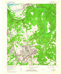
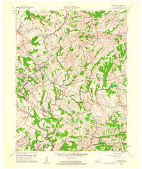
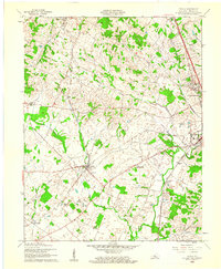
 - 1960 Map of Simpsonville
 1960 Simpsonville1960 Print · USGSCovers Kentucky, including Shelbyville, Simpsonville, and other nearby areas3 unique versions available
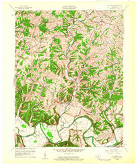
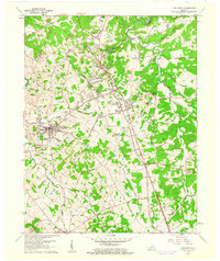
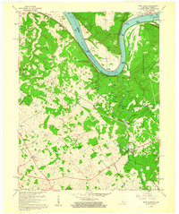
 - 1960 Map of Johnson City
 1960 Johnson City1960 Print · USGSCovers Kentucky, including Knoxville, Johnson City, and other nearby areas
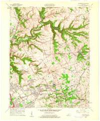
 - 1960 Map of Winchester
 1960 Winchester1960 Print · USGSCovers Kentucky, including Louisville, Lexington, and other nearby areas
 - 1960 Map of Taylorsville
 1960 Taylorsville1960 Print · USGSCovers Kentucky, including Taylorsville, Normandy, and other nearby areas3 unique versions available
 - 1960 Map of Valley Station
 1960 Valley Station1960 Print · USGSCovers Kentucky, including Louisville, Shepherdsville, and other nearby areas2 unique versions available
 - 1960 Map of Waterford, 1961 Print
 1960 Waterford1961 Print · USGSCovers Kentucky, including Louisville, Mount Washington, and other nearby areas
 - 1960 Map of Pitts Point, 1961 Print
 1960 Pitts Point1961 Print · USGSCovers Kentucky, including Shepherdsville, Pitts Point, and other nearby areas3 unique versions available
 - 1960 Map of Fort Knox, 1961 Print
 1960 Fort Knox1961 Print · USGSCovers Kentucky, including Louisville, Radcliff, and other nearby areas3 unique versions available
 - 1960 Map of Lanesville, 1961 Print
 1960 Lanesville1961 Print · USGSCovers Kentucky, including Louisville, Lanesville, and other nearby areas2 unique versions available
 - 1960 Map of Vine Grove, 1961 Print
 1960 Vine Grove1961 Print · USGSCovers Kentucky, including Elizabethtown, Radcliff, and other nearby areas5 unique versions available
 - 1960 Map of Kosmosdale, 1961 Print
 1960 Kosmosdale1961 Print · USGSCovers Kentucky, including Louisville, Elizabeth, and other nearby areas3 unique versions available
 - 1960 Map of Big Clifty, 1961 Print
 1960 Big Clifty1961 Print · USGSCovers Kentucky, including Clarkson, Tar Hill, and other nearby areas
 - 1960 Map of Crestwood, 1961 Print
 1960 Crestwood1961 Print · USGSCovers Kentucky, including Louisville, Middletown, and other nearby areas2 unique versions available
 - 1960 Map of Rock Haven, 1961 Print
 1960 Rock Haven1961 Print · USGSCovers Kentucky, including New Boston, Cedar Farm Landing, and other nearby areas3 unique versions available
 - 1960 Map of Flaherty, 1961 Print
 1960 Flaherty1961 Print · USGSCovers Kentucky, including Vine Grove, Hardin County, and other nearby areas3 unique versions available
 - 1960 Map of Cecilia, 1961 Print
 1960 Cecilia1961 Print · USGSCovers Kentucky, including Elizabethtown, Radcliff, and other nearby areas
 - 1960 Map of Anchorage, 1961 Print
 1960 Anchorage1961 Print · USGSCovers Kentucky, including Louisville, Lyndon, and other nearby areas
 - 1960 Map of Jeffersonville, 1961 Print
 1960 Jeffersonville1961 Print · USGSCovers Kentucky, including Louisville, Jeffersonville, and other nearby areas
 - 1960 Map of Jeffersontown, 1961 Print
 1960 Jeffersontown1961 Print · USGSCovers Kentucky, including Louisville, Jeffersontown, and other nearby areas
 - 1960 Map of Fisherville, 1961 Print
 1960 Fisherville1961 Print · USGSCovers Kentucky, including Louisville, Middletown, and other nearby areas
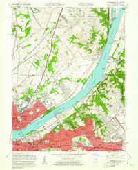
 - 1960 Map of Louisville East, 1961 Print
 1960 Louisville East1961 Print · USGSCovers Kentucky, including Louisville, Audubon Park, and other nearby areas
 - 1960 Map of Louisville West, 1961 Print
 1960 Louisville West1961 Print · USGSCovers Kentucky, including Louisville, Shively, and other nearby areas
 - 1960 Map of Colesburg, 1961 Print
 1960 Colesburg1961 Print · USGSCovers Kentucky, including Elizabethtown, Colesburg, and other nearby areas3 unique versions available
Showing maps 1-25
Top cities of Kentucky
- Louisville historical maps
- Lexington historical maps
- Owensboro historical maps
- Bowling Green historical maps
- Covington historical maps
- Georgetown historical maps
See more
Top counties of Kentucky
- Jefferson County historical maps
- Fayette County historical maps
- Kenton County historical maps
- Boone County historical maps
- Warren County historical maps
- Hardin County historical maps
See more
Frequently asked questions
- What are the different types of historical maps available for Kentucky?
- What is the oldest map of Kentucky?
- Where can I purchase historical maps of Kentucky for my home or office?
- Where can I download high-res historical maps of Kentucky?
- Are there historical topographic maps available for Kentucky?
- Is there historical aerial imagery available for Kentucky?
- Where are historical maps of Kentucky sourced from?