1970s Maps of Kentucky
Explore 212 historic maps of Kentucky from the 1970s. These maps offer a rare glimpse into what life looked like during the 1970s — showing old roads, neighborhoods, homes, and landmarks that have changed or disappeared over time.
Whether you're researching your family's past, planning a metal detecting trip, or studying how Kentucky's landscape evolved across the 1970s, these high-resolution maps are a powerful tool for exploring the history of this region.
- Focus on a specific era: All maps on this page are from the 1970s, giving you a focused view of this time period.
- See what’s changed: Compare century-old streets, trails, and buildings to today's modern landscape using overlays and satellite layers.
- Research with precision: Use these maps for genealogy, historical research, land use analysis, or educational projects.
- View, download, or print: Maps are fully viewable online in high resolution, and can be downloaded or printed for your own records.
Start exploring Kentucky's history through authentic maps from the 1970s. This is your window into the past.
Kentucky maps
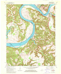
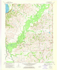
(212)- 1970 Map of Grahn, 1972 Print
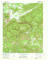
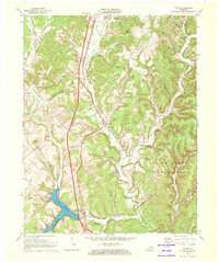
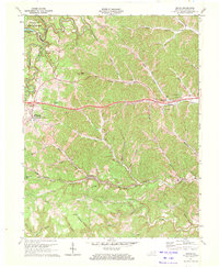 1970 Grahn1972 Print · USGSCarter County in the early seventies shows a landscape defined by the winding paths of the Chesapeake and Ohio railroad and rugged mining operations. Researchers can trace rural life through the Aden Tunnel, the Bledsoe Cem, and the old Pleasant Valley Sch.2 unique versions available
 - 1970 Map of Mauckport, 1972 Print
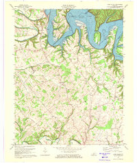
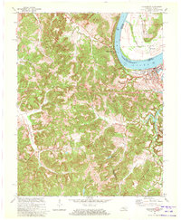
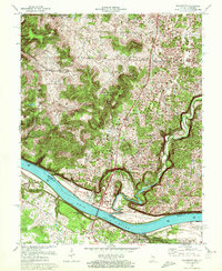 1970 Mauckport1972 Print · USGSThe Ohio River valley at the start of the 1970s reveals a landscape of riverfront towns and steep timbered ridges. Genealogists and historians can locate riverside landmarks like Mauckport and Morvins Landing or inland sites like Mt Zion Ch.2 unique versions available
 - 1970 Map of Morehead, 1972 Print
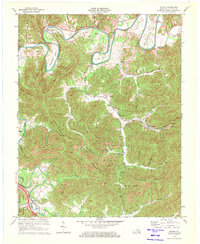
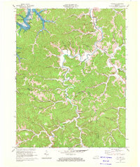
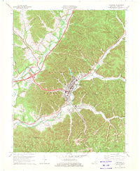 1970 Morehead1972 Print · USGSMorehead and the surrounding Rowan County hills are captured here in the early 1970s, as the university and railroad shaped the local landscape. Researchers can trace the development of Morehead State University or locate family sites like Caddill Cem and Dry Creek Ch.2 unique versions available
 - 1970 Map of Campbellsville, 1972 Print
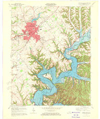 1970 Campbellsville1972 Print · USGSCampbellsville and the newly formed Green River Lake are captured in the early seventies during a period of significant regional growth. Local researchers can trace the development of Campbellsville College and locate rural landmarks like Shady Grove Ch and Durham Sch.3 unique versions available
 - 1970 Map of Jellico East, 1972 Print
 1970 Jellico East1972 Print · USGSThe Tennessee-Kentucky border comes alive in the early seventies, showing a landscape defined by coal mining and mountain rail lines. Genealogists and historians can trace families near Jellico, locate the Boston Sch, or find rural sites like Habersham and Walnut Grove Ch.3 unique versions available
 - 1970 Map of Saxton, 1972 Print
 1970 Saxton1972 Print · USGSWhitley County at the start of the 1970s reveals a landscape of industrial coal mining and deep mountain hollows. Trace the families and mines of Nevisdale and Gatliff, or locate ancestors at Stanfill-Oaklawn Cem and Bryant Ch.2 unique versions available
 - 1970 Map of Frankfort East, 1972 Print
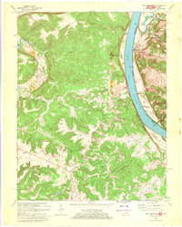
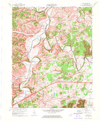
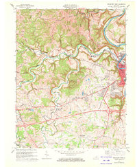
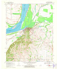
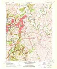 1970 Frankfort East1972 Print · USGSFrankfort and the surrounding Bluegrass region are captured here in the early seventies as the capital city expanded along the Kentucky River. Researchers can trace historic institutions and rural landmarks from Ky State College and the Penitentiary to the Forks of Elkhorn Ch.6 unique versions available
 - 1970 Map of Farmers, 1972 Print
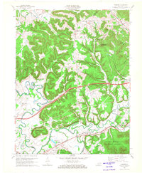 1970 Farmers1972 Print · USGSRowan and Bath counties in the early seventies reveal a landscape of river-bend settlements and deep forest ridges. Genealogists and locals can trace family sites like Eldridge Cem, find the old crossing at Moores Ferry, and follow the Chesapeake and Ohio rail line.2 unique versions available
 - 1970 Map of Alton, 1972 Print
 1970 Alton1972 Print · USGSThe Ohio River meanders between Indiana and Kentucky in the 1970s, shaping the life of riverfront towns and upland forests. Genealogists and historians can trace riverside settlements like Alton and Concordia, or find family landmarks such as St Theresa Academy and Owens Cem.
 - 1970 Map of Beechwood, 1972 Print
 1970 Beechwood1972 Print · USGSSouthern Indiana's river bends and deep forests are captured here just as modern highway expansions were being planned in the early seventies. Local historians can trace family roots through numerous remote sites like Old Union Ch, Riddle Cem, and the Buzzard Roost Lookout Tower.2 unique versions available
 - 1970 Map of Cane Valley, 1972 Print
 1970 Cane Valley1972 Print · USGSAdair and Green counties are captured here in the early seventies, a period defined by the sprawling waters of Green River Lake. Researchers can locate historic family burial sites like Green River Hill Confederate Cem and rural crossroads like Cane Valley and Coburg.4 unique versions available
 - 1970 Map of New Amsterdam, 1972 Print
 1970 New Amsterdam1972 Print · USGSThe Ohio River borderlands of Indiana and Kentucky remained a world of steep ridges and riverside hamlets in the early seventies. Researchers can trace family sites and rural landmarks like Greer Cem, the community of Battletown, and the river crossing at New Amsterdam.2 unique versions available
 - 1970 Map of Leavenworth, 1972 Print
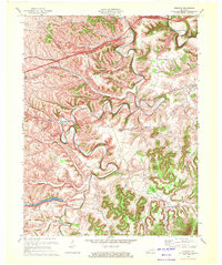
 1970 Leavenworth1972 Print · USGSThe Ohio River valley near the Crawford and Harrison county line is captured here in the early seventies, centered on the historic river town of Leavenworth. Genealogists and hikers can trace old family burial sites like Mt Hope Ch Cem or explore landmarks such as Wyandotte Cave and the landing at Schooner Point Landing.3 unique versions available
 - 1970 Map of Colfax, 1972 Print
 1970 Colfax1972 Print · USGSBath and Fleming Counties appear here in the early seventies, as rural life moved along the high ridges and deep hollows of the Licking River. Genealogists and historians can trace local family lineages through remote sites like Old Virginia Cem, Grange City, and Atchison Cem.2 unique versions available
 - 1970 Map of Olive Hill, 1972 Print
 1970 Olive Hill1972 Print · USGSThe Tygarts Creek valley in the 1970s shows a landscape shaped by the Chesapeake and Ohio rail line. Trace family roots and local industry through Olive Hill, Soldier, and Lawton, or locate rural landmarks like Rose Chapel.2 unique versions available
 - 1970 Map of Cloverport, 1972 Print
 1970 Cloverport1972 Print · USGSThe banks of the Ohio River in the early 1970s reveal a mix of river-town industry and rural ridge-top life. Genealogists and historians can trace old homesteads and landmarks near Cloverport, Patesville, and the Harris Memorial Cemetery.2 unique versions available
 - 1970 Map of Wildie, 1972 Print
 1970 Wildie1972 Print · USGSRockcastle County and the Daniel Boone National Forest come to life in the early seventies, centered on the growing waters of Lake Linville. Trace family history at Saylor Cem or explore early landmarks like Renfro Valley and the Drive-in Theater.
 - 1970 Map of Willard, 1972 Print
 1970 Willard1972 Print · USGSEastern Kentucky's hill country at the start of the 1970s shows a landscape of ridge-top settlements and coal-country hollows. Genealogists and historians can locate family landmarks like Hensley Cem and Kitchen Cem, or trace the mining history near Willard and Jeriel.2 unique versions available
 - 1970 Map of Frankfort West, 1972 Print
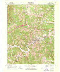
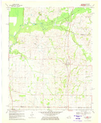
 1970 Frankfort West1972 Print · USGSThe Kentucky state capital and its rural western environs are captured here in the early seventies as the city expanded toward Pea Ridge. Genealogists can trace family landmarks like Sudduth Cem and rural centers such as Bridgeport and Choateville.5 unique versions available
 - 1970 Map of Arlington, 1972 Print
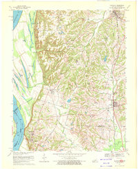 1970 Arlington1972 Print · USGSThe Mississippi River bluffs and Carlisle County uplands are captured here in the 1970s. Trace family history through rural sites like Webbs Chapel, Rogers Cem, and Allen Cem, or follow the path of the Gulf Mobile and Ohio railroad.3 unique versions available
 - 1970 Map of Oakton, 1972 Print
 1970 Oakton1972 Print · USGSHickman and Fulton Counties are captured here at the start of the 1970s, showcasing the intricate drainage and rail networks of western Kentucky. Genealogists can trace family connections at Roberts Cem, Oakton, and the rural community of Whayne.2 unique versions available
 - 1970 Map of Hickman, 1972 Print
 1970 Hickman1972 Print · USGSThe riverfront at Hickman and the surrounding Kentucky-Tennessee borderlands are shown here during the early seventies. Genealogists and local historians can trace family sites at Hubbard Cem, visit Anna Lynne, or follow the Illinois Central Railroad line.2 unique versions available
 - 1970 Map of Cayce, 1972 Print
 1970 Cayce1972 Print · USGSThe West Kentucky borderlands are documented here in 1970, centered on the rail-aligned settlements of Cayce and Moscow. Genealogists and historians can trace numerous family burial sites and rural congregations like Johnson Cem and Liberty Ch.2 unique versions available
 - 1970 Map of Preston, 1972 Print
 1970 Preston1972 Print · USGSBath and Montgomery Counties appear here in the early 1970s, showing a rural landscape shaped by the winding Slate Creek. Researchers can locate family landmarks like Peeled Oak Cem, the Stepstone Sch, and the rail corridor of the Chesapeake and Ohio.2 unique versions available
 - 1970 Map of Rome, 1972 Print
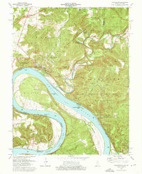
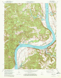 1970 Rome1972 Print · USGSThe banks of the Ohio River define this 1970s landscape where Perry County, Indiana meets Breckinridge County, Kentucky. Genealogists can trace family heritage through numerous hillside sites like St Peters Ch and Maier Cem, or locate the riverfront rail stops at Stephensport and Addison.
Showing maps 1-25 of 212
Top cities of Kentucky
- Louisville historical maps
- Lexington historical maps
- Owensboro historical maps
- Bowling Green historical maps
- Covington historical maps
- Georgetown historical maps
See more
Top counties of Kentucky
- Jefferson County historical maps
- Fayette County historical maps
- Kenton County historical maps
- Boone County historical maps
- Warren County historical maps
- Hardin County historical maps
See more
Frequently asked questions
- What are the different types of historical maps available for Kentucky?
- What is the oldest map of Kentucky?
- Where can I purchase historical maps of Kentucky for my home or office?
- Where can I download high-res historical maps of Kentucky?
- Are there historical topographic maps available for Kentucky?
- Is there historical aerial imagery available for Kentucky?
- Where are historical maps of Kentucky sourced from?