2020s Maps of Kentucky
Explore 790 historic maps of Kentucky from the 2020s. These maps offer a rare glimpse into what life looked like during the 2020s — showing old roads, neighborhoods, homes, and landmarks that have changed or disappeared over time.
Whether you're researching your family's past, planning a metal detecting trip, or studying how Kentucky's landscape evolved across the 2020s, these high-resolution maps are a powerful tool for exploring the history of this region.
- Focus on a specific era: All maps on this page are from the 2020s, giving you a focused view of this time period.
- See what’s changed: Compare century-old streets, trails, and buildings to today's modern landscape using overlays and satellite layers.
- Research with precision: Use these maps for genealogy, historical research, land use analysis, or educational projects.
- View, download, or print: Maps are fully viewable online in high resolution, and can be downloaded or printed for your own records.
Start exploring Kentucky's history through authentic maps from the 2020s. This is your window into the past.
Kentucky maps
(790)- 2021 Map of Joppa, 2021 Print
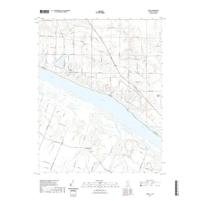 2021 Joppa2021 Print · USGSThe riverfront town of Joppa and the surrounding borderlands of Illinois and Kentucky are captured here in the early twenty-first century. Researchers can trace local lineage through numerous rural burial sites like Kirkendall Cem and Liberty Ridge Cem.
 - 2021 Map of Saline Mines, 2021 Print
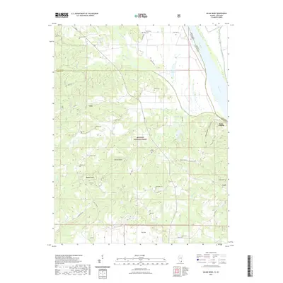 2021 Saline Mines2021 Print · USGSThe Illinois-Kentucky borderlands along the Ohio River are shown here as they appeared in 2021, featuring the dense canopy of the Shawnee National Forest. Genealogists and historians can trace family burial sites like Mount Zion Cem and Angleton Cem near the old river outpost of Saline Landing.
 - 2021 Map of Cave-in-Rock, 2021 Print
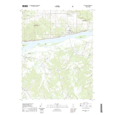 2021 Cave-in-Rock2021 Print · USGSThe Ohio River border between Illinois and Kentucky is captured here in 2021, showing the riverfront at Cave-In-Rock and the surrounding forest lands. Researchers can trace family roots at the Cook Graveyard, Underdown Cemetery, and Whites Chapel Cemetery.
 - 2021 Map of Rosiclare, 2021 Print
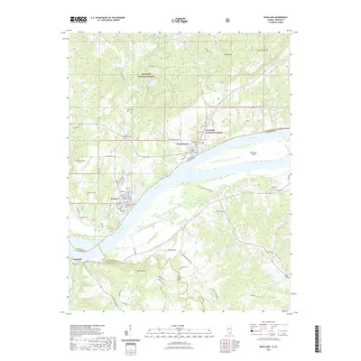 2021 Rosiclare2021 Print · USGSThe Ohio River front at Rosiclare and Elizabethtown is shown here in the modern era. Trace local family history through numerous sites like Stone Church Cem, Critchlow Cem, and the Milford Bridge.
 - 2021 Map of Shawneetown, 2021 Print
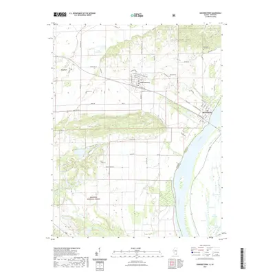 2021 Shawneetown2021 Print · USGSThe Ohio River valley near the Illinois and Kentucky border comes into focus in this recent survey. Local researchers can trace the movement between Old Shawneetown and modern Shawneetown, while identifying rural landmarks like Westwood Cem and Gold Hill.
 - 2021 Map of Golconda, 2021 Print
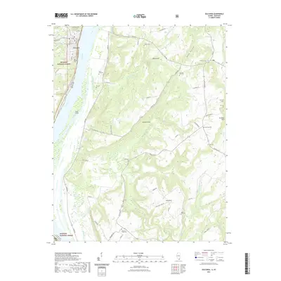 2021 Golconda2021 Print · USGSThe Illinois-Kentucky border along the Ohio River is captured here in modern detail, showcasing the riverfront town of Golconda. Genealogists can trace numerous small family plots and rural burial sites like Odd Fellows Cem, Koe Cem, and Lay Cem.
 - 2021 Map of Shetlerville, 2021 Print
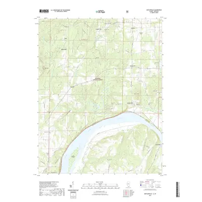 2021 Shetlerville2021 Print · USGSThe Illinois-Kentucky borderlands along the Ohio River come into focus in this recent study of the rural river corridor. Genealogists and local historians can trace family sites at Dutton Chapel Cem or locate the old landing sites near Shetlerville and Carrsville.
 - 2021 Map of Brownfield, 2021 Print
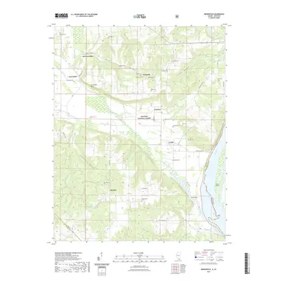 2021 Brownfield2021 Print · USGSSouthern Pope County is captured here along the banks of the Ohio River within the Shawnee National Forest. Genealogists and local historians can trace family locations through more than a dozen local burial sites, including Shedville Cem, Antioch Cem, and Prospect Cem.
 - 2021 Map of Metropolis, 2021 Print
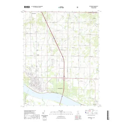 2021 Metropolis2021 Print · USGSMetropolis and the Massac County riverfront are shown here in the early 2020s, as the community extends north from the Ohio River. Researchers can trace family history through a high density of local burial sites like Kidd Cem, Davisson Bumgarner Cem, and Round Springs Cem.
 - 2021 Map of Olmsted, 2021 Print
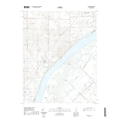 2021 Olmsted2021 Print · USGSThe river-border landscape of Pulaski County is detailed here in the early twenty-first century. Genealogists and local historians can trace rural family sites like Bethlehem Cem or explore the complex wetlands of Oscar Bottoms and Barlow Bottoms.
 - 2021 Map of Cairo, 2021 Print
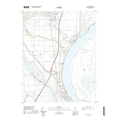 2021 Cairo2021 Print · USGSThe confluence of the Ohio and Mississippi Rivers comes into sharp focus in this recent survey of Southern Illinois. Genealogists can trace family plots at Mound City National Cemetery or explore the civic centers of Cairo and Mound City.
 - 2021 Map of Point Pleasant, 2021 Print
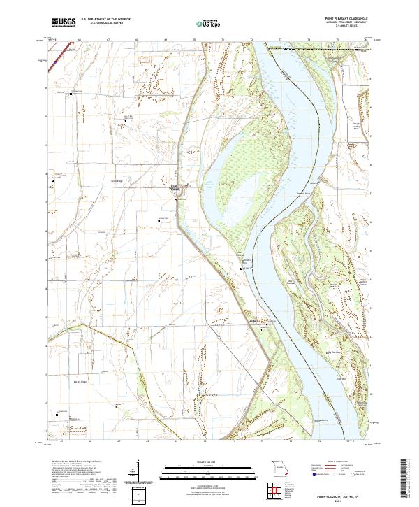 2021 Point Pleasant2021 Print · USGSThe riverfront of New Madrid County and the tri-state borders come into focus in this contemporary survey of the Mississippi River's bend. Genealogists and local historians can trace family land near Point Pleasant and several rural burial grounds like Yount Cem or Riddles Cem.
 - 2021 Map of Bayouville, 2021 Print
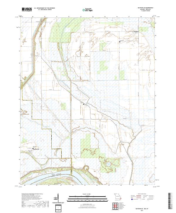 2021 Bayouville2021 Print · USGSThe Missouri-Kentucky borderlands along the Mississippi River are shown here in the early twenty-first century. Genealogists can locate family names at Pinhook Cem and Sugar Tree Ridge, or trace the river's path past Island Number 8.
 - 2021 Map of Wickliffe SW, 2021 Print
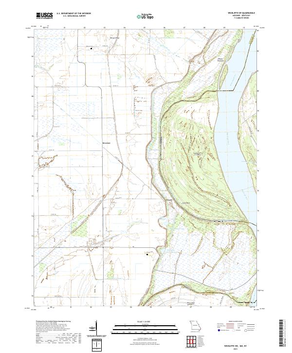 2021 Wickliffe SW2021 Print · USGSThe Missouri-Kentucky borderlands along the Mississippi River are shown here in the early twenty-first century. Researchers can trace the legacy of river settlements like Deventer and Crosno or locate family sites at O'Bryan Cem and Travis Cem.
 - 2021 Map of Wolf Island, 2021 Print
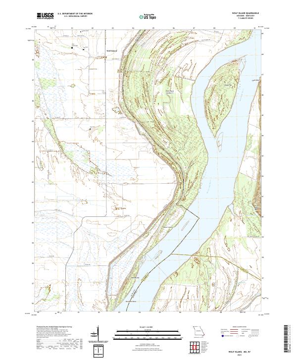 2021 Wolf Island2021 Print · USGSThe Missouri-Kentucky borderlands are defined by the river's changing course in the early 2020s. Genealogists can trace family footprints at Wolf Island Cem and Lee Cem near the riverfront landings at Beckwith Bend.
 - 2021 Map of New Madrid, 2021 Print
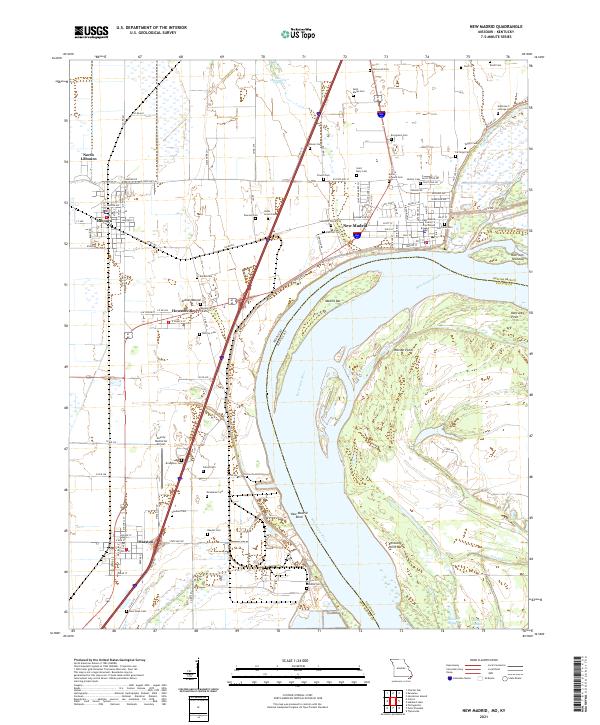 2021 New Madrid2021 Print · USGSThe Mississippi River forms its famous bend here in the early 2020s, shaping a landscape of riverfront towns and ancient earthworks. Genealogists can trace family names at Evergreen Cem or Hatcher Cem, and explore the site of the Indian Mound.
 - 2021 Map of Wyatt, 2021 Print
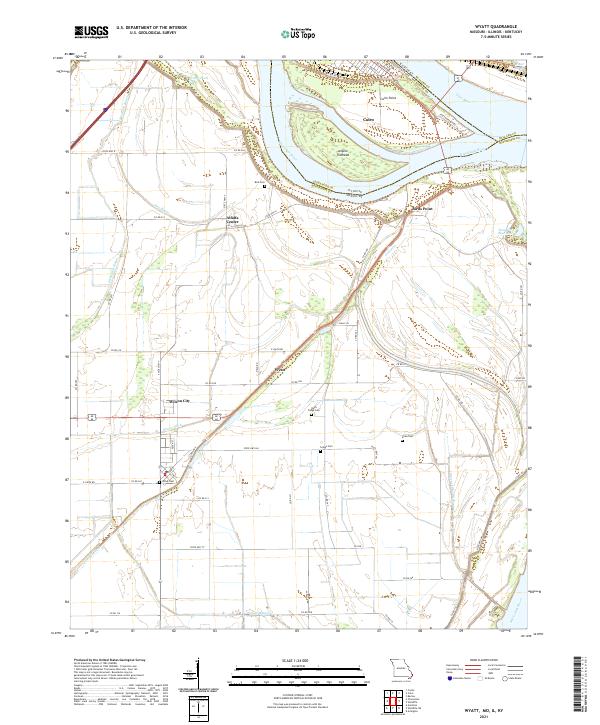 2021 Wyatt2021 Print · USGSThe confluence of the great rivers at the tri-state border defines this landscape during the early 2020s. Researchers can trace the legacy of local families through rural landmarks like Bird Cem, Wyatt Cem, and the settlement of Alfalfa Center.
 - 2021 Map of Hubbard Lake, 2021 Print
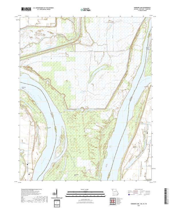 2021 Hubbard Lake2021 Print · USGSThe Missouri-Kentucky borderlands along the Mississippi River are shown here in 2021. Genealogists can locate family sites at Lake Chapel Cem and Whitson Cem or trace the unique geography of the Kentucky Bend.
 - 2022 Map of Puryear, 2022 Print
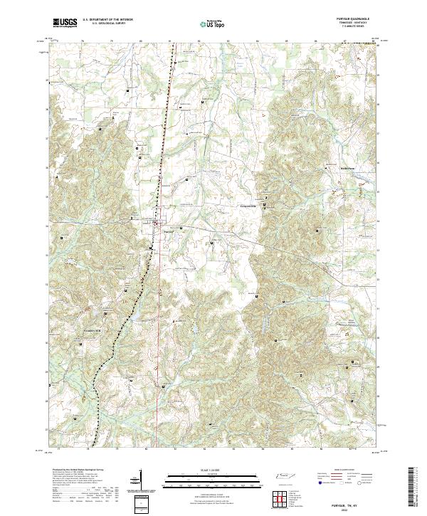 2022 Puryear2022 Print · USGSHenry County near the Kentucky border reveals a quiet landscape of family cemeteries and rural crossroads in the early twenty-first century. Genealogists can trace local heritage at Foundry Hill Baptist Cem, Littleton Cem, and the historic site of Conyersville.
 - 2022 Map of Buchanan, 2022 Print
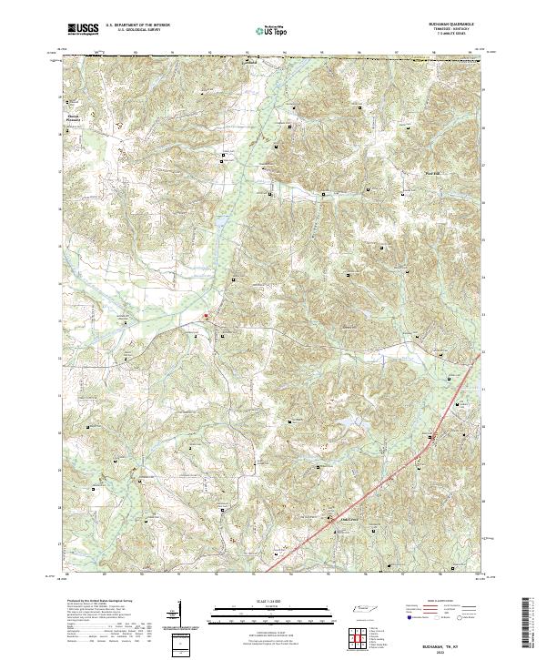 2022 Buchanan2022 Print · USGSThe Tennessee and Kentucky borderlands near Buchanan are captured here during a time of settled agricultural life. Genealogists can trace dozens of family burial sites including the Old Soldiers Cem, Heglar Chapel Cem, and Valentine Cem.
 - 2022 Map of Arlington, 2022 Print
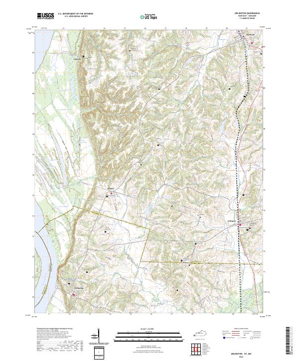 2022 Arlington2022 Print · USGSArlington and Columbus sit at the edge of the Mississippi River bottomlands in the early twenty-first century. Genealogists can trace family lines across dozens of rural burial sites like the Columbus Confederate Cem, Lillard King Cem, and Beech Grove Church Cem.
 - 2022 Map of Barlow, 2022 Print
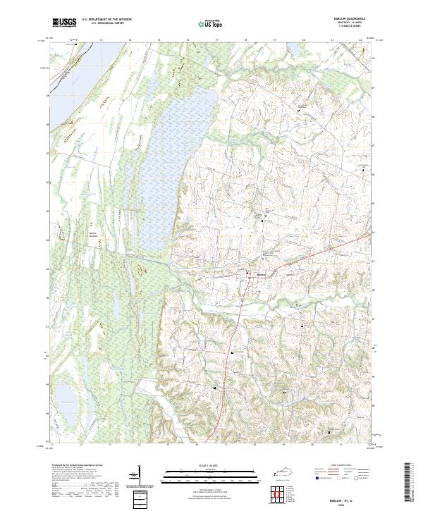 2022 Barlow2022 Print · USGSThe riverfront and wetlands of Ballard County are captured here in the early 2020s, centered on the community of Barlow. Family historians can locate numerous burial sites like Old Hazelwood Cem and Bridgewater Graveyard near the shores of the Ohio River.
 - 2022 Map of Oakton, 2022 Print
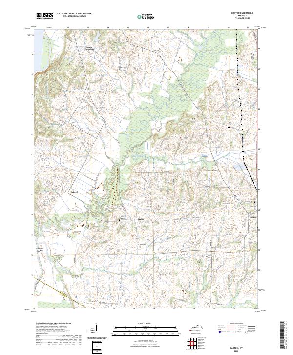 2022 Oakton2022 Print · USGSHickman County’s rural landscape is captured in the early 2020s, showing a region defined by its creek valleys and historic crossroads. Genealogists can locate numerous landmarks including Mount Sinai Baptist, Scott Hill Cem, and the settlement of Oakton.
 - 2022 Map of Cayce, 2022 Print
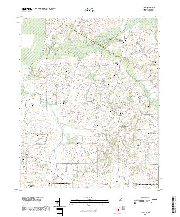 2022 Cayce2022 Print · USGSWestern Kentucky farmland near the Tennessee border shows a complex history of family land ownership and small-town continuity. Genealogists can trace family names through dozens of sites like the Shaw-Knight Family Cem or the Old Moscow Graveyard.
 - 2022 Map of Cuba, 2022 Print
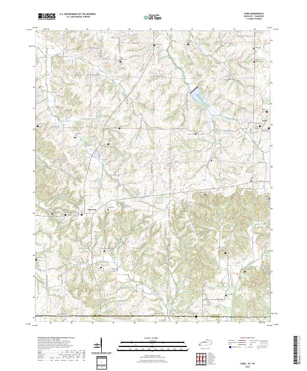 2022 Cuba2022 Print · USGSThe Kentucky and Tennessee state line runs through this rural landscape in the early 2020s, dominated by small settlements and family farms. Genealogists can locate dozens of historic burial sites such as Colley Family Cem, Pilot Oak, and Old Bethlehem Cem.
Showing maps 1-25 of 790
Top cities of Kentucky
- Louisville historical maps
- Lexington historical maps
- Owensboro historical maps
- Bowling Green historical maps
- Covington historical maps
- Georgetown historical maps
See more
Top counties of Kentucky
- Jefferson County historical maps
- Fayette County historical maps
- Kenton County historical maps
- Boone County historical maps
- Warren County historical maps
- Hardin County historical maps
See more
Frequently asked questions
- What are the different types of historical maps available for Kentucky?
- What is the oldest map of Kentucky?
- Where can I purchase historical maps of Kentucky for my home or office?
- Where can I download high-res historical maps of Kentucky?
- Are there historical topographic maps available for Kentucky?
- Is there historical aerial imagery available for Kentucky?
- Where are historical maps of Kentucky sourced from?