2000s (21st Century) Maps of Kentucky
Explore 3,905 historic maps of Kentucky from the 2000s (21st Century). These maps offer a rare glimpse into what life looked like during the 2000s — showing old roads, neighborhoods, homes, and landmarks that have changed or disappeared over time.
Whether you're researching your family's past, planning a metal detecting trip, or studying how Kentucky's landscape evolved across the 2000s, these high-resolution maps are a powerful tool for exploring the history of this region.
- Focus on a specific era: All maps on this page are from the 2000s, giving you a focused view of this time period.
- See what’s changed: Compare century-old streets, trails, and buildings to today's modern landscape using overlays and satellite layers.
- Research with precision: Use these maps for genealogy, historical research, land use analysis, or educational projects.
- View, download, or print: Maps are fully viewable online in high resolution, and can be downloaded or printed for your own records.
Start exploring Kentucky's history through authentic maps from the 2000s. This is your window into the past.
Kentucky maps
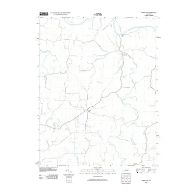
(3,905)- 2000 Map of Barthell SW, 2001 Print
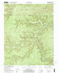 2000 Barthell SW2001 Print · USGSThe South Fork Cumberland River divides the Tennessee and Kentucky borderlands at the turn of the millennium. Researchers can find old family sites like Slaven Cem and historical rural outposts including No Business Sch and Anderson.
 - 2000 Map of Sharp Place, 2001 Print
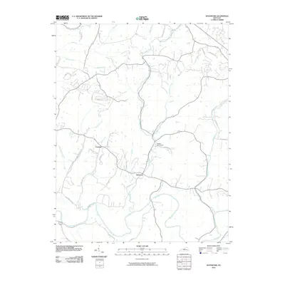
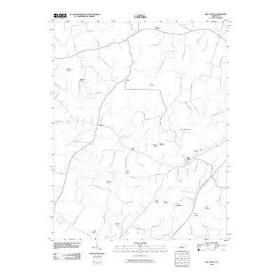
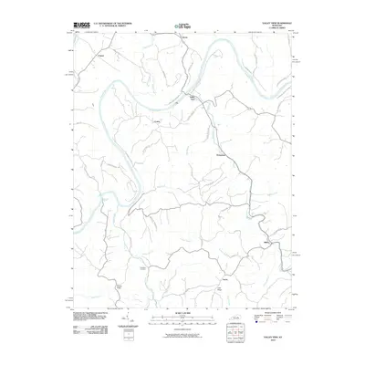
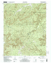 2000 Sharp Place2001 Print · USGSThe Kentucky and Tennessee borderlands appear in this detailed survey of the Upper Cumberland Plateau. Genealogists and historians can trace family roots at Sharp Place, Akers Chapel, and the Blevins Cem near Hazard Cave.
 - 2001 Map of Majestic, 2003 Print
 2001 Majestic2003 Print · USGSThe Central Appalachian coalfields come into focus at the turn of the millennium where the TUG FORK separates Kentucky and West Virginia. Genealogists and industrial historians can trace riverside settlements like Vulcan, Devon, and Majestic, alongside the NORFOLK AND WESTERN rail line.
 - 2001 Map of Wharncliffe, 2003 Print
 2001 Wharncliffe2003 Print · USGSThe coal country of Mingo County is captured at the turn of the millennium, showing a landscape defined by industrial mines and river-bottom settlements. Genealogists can trace family locations near Wharncliffe, War Eagle, and the Hardy Union Ch.
 - 2002 Map of Wheelersburg, 2006 Print
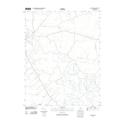
 2002 Wheelersburg2006 Print · USGSThe Ohio River borderlands at the turn of the millennium show a landscape where industrial transit and national forest land meet. Genealogists and historians can trace family locations near Floral Hills Memory Gardens, Old Burch Cem, and the Grays Branch Sch.
 - 2002 Map of Ironton, 2006 Print
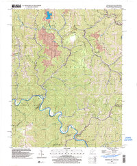
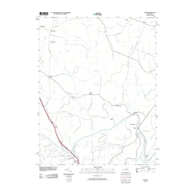
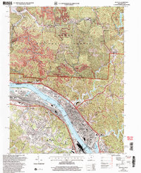 2002 Ironton2006 Print · USGSIronton and its neighboring river towns sit at a busy industrial crossroads along the Kentucky and Ohio border at the start of the new millennium. Traces of early iron heritage at Vesuvius Furnace (Ruins) appear alongside active Strip Mines and local landmarks like Woodland Cemetery.
 - 2002 Map of Greenup, 2006 Print
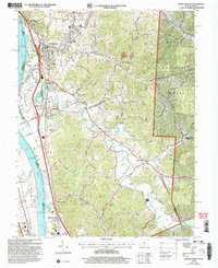
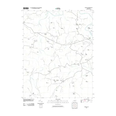
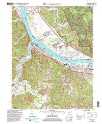 2002 Greenup2006 Print · USGSThe Ohio River valley at the turn of the millennium shows a landscape defined by heavy rail, river industry, and deep-hollow settlements. Genealogists can trace family names at Gilruth-Davisson Cem or locate old rail hubs like Oliver Station and Raceland Junction.
 - 2010 Map of McBrayer, 2010 Print
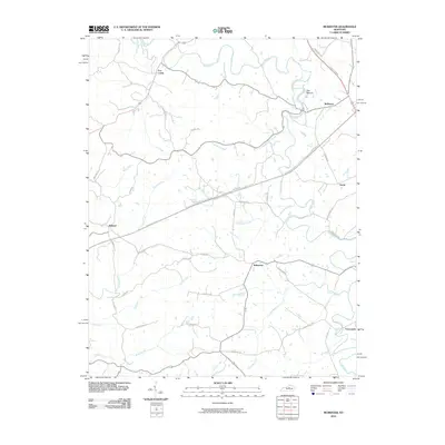 2010 McBrayer2010 Print · USGSCovers Kentucky, including Nevin, Terrapin, and other nearby areas
 - 2010 Map of Berea, 2010 Print
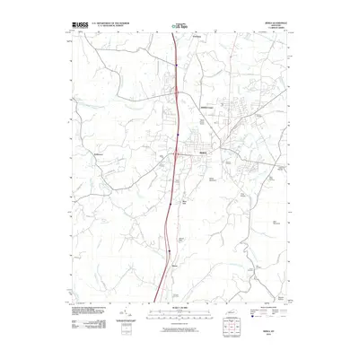 2010 Berea2010 Print · USGSCovers Kentucky, including Richmond, Berea, and other nearby areas
 - 2010 Map of Mount Sterling, 2010 Print
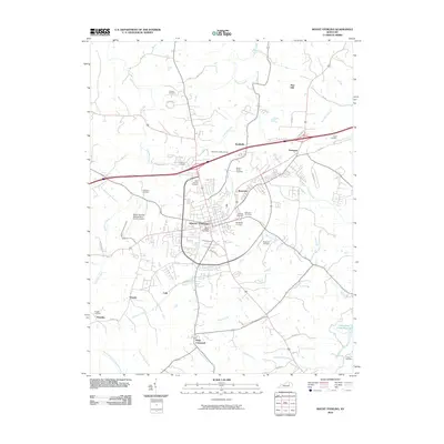 2010 Mount Sterling2010 Print · USGSCovers Kentucky, including Mount Sterling, Camargo, and other nearby areas
 - 2010 Map of Glensboro, 2010 Print
 2010 Glensboro2010 Print · USGSCovers Kentucky, including Anderson City, Harrisonville, and other nearby areas
 - 2010 Map of Buckeye, 2010 Print
 2010 Buckeye2010 Print · USGSCovers Kentucky, including Lancaster, Judson, and other nearby areas
 - 2010 Map of Raywick, 2010 Print
 2010 Raywick2010 Print · USGSCovers Kentucky, including Loretto, Raywick, and other nearby areas
 - 2010 Map of Little Cypress, 2010 Print
 2010 Little Cypress2010 Print · USGSCovers Kentucky, including Calvert City, New Liberty, and other nearby areas
 - 2010 Map of Waterford, 2010 Print
 2010 Waterford2010 Print · USGSCovers Kentucky, including Louisville, Mount Washington, and other nearby areas
 - 2010 Map of Panola, 2010 Print
 2010 Panola2010 Print · USGSCovers Kentucky, including Winston, Witt, and other nearby areas
 - 2010 Map of Richmond South, 2010 Print
 2010 Richmond South2010 Print · USGSCovers Kentucky, including Richmond, Berea, and other nearby areas
 - 2010 Map of Guston, 2010 Print
 2010 Guston2010 Print · USGSCovers Kentucky, including Brandenburg, Ekron, and other nearby areas
 - 2010 Map of Union City, 2010 Print
 2010 Union City2010 Print · USGSCovers Kentucky, including Doylesville, Union City, and other nearby areas
 - 2010 Map of Big Clifty, 2010 Print
 2010 Big Clifty2010 Print · USGSCovers Kentucky, including Clarkson, Limp, and other nearby areas
 - 2010 Map of Paris East, 2010 Print
 2010 Paris East2010 Print · USGSCovers Kentucky, including Paris, Escondida, and other nearby areas
 - 2010 Map of Ford, 2010 Print
 2010 Ford2010 Print · USGSCovers Kentucky, including Lexington, Lisletown, and other nearby areas
 - 2010 Map of Valley View, 2010 Print
 2010 Valley View2010 Print · USGSCovers Kentucky, including Lexington, Cuzick, and other nearby areas
 - 2010 Map of Olney, 2010 Print
 2010 Olney2010 Print · USGSCovers Kentucky, including Princeton, Olney, and other nearby areas
 - 2010 Map of Marion, 2010 Print
 2010 Marion2010 Print · USGSCovers Kentucky, including Marion, Piney Fork, and other nearby areas
Showing maps 1-25 of 3,905
Top cities of Kentucky
- Louisville historical maps
- Lexington historical maps
- Owensboro historical maps
- Bowling Green historical maps
- Covington historical maps
- Georgetown historical maps
See more
Top counties of Kentucky
- Jefferson County historical maps
- Fayette County historical maps
- Kenton County historical maps
- Boone County historical maps
- Warren County historical maps
- Hardin County historical maps
See more
Frequently asked questions
- What are the different types of historical maps available for Kentucky?
- What is the oldest map of Kentucky?
- Where can I purchase historical maps of Kentucky for my home or office?
- Where can I download high-res historical maps of Kentucky?
- Are there historical topographic maps available for Kentucky?
- Is there historical aerial imagery available for Kentucky?
- Where are historical maps of Kentucky sourced from?