1960s Maps of Kentucky
Explore 334 historic maps of Kentucky from the 1960s. These maps offer a rare glimpse into what life looked like during the 1960s — showing old roads, neighborhoods, homes, and landmarks that have changed or disappeared over time.
Whether you're researching your family's past, planning a metal detecting trip, or studying how Kentucky's landscape evolved across the 1960s, these high-resolution maps are a powerful tool for exploring the history of this region.
- Focus on a specific era: All maps on this page are from the 1960s, giving you a focused view of this time period.
- See what’s changed: Compare century-old streets, trails, and buildings to today's modern landscape using overlays and satellite layers.
- Research with precision: Use these maps for genealogy, historical research, land use analysis, or educational projects.
- View, download, or print: Maps are fully viewable online in high resolution, and can be downloaded or printed for your own records.
Start exploring Kentucky's history through authentic maps from the 1960s. This is your window into the past.
Kentucky maps
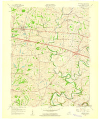
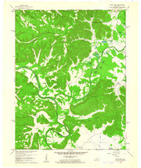
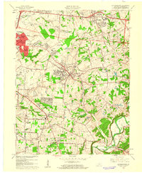
(334)- 1960 Map of Jenkins
 1960 Jenkins1960 Print · USGSEastern Kentucky and the West Virginia borderlands are captured at a mid-century peak of the coal and rail era. Trace the industrial corridors of the Chesapeake and Ohio RR through mountain hubs like Hazard and Jenkins.
 - 1960 Map of Huntington
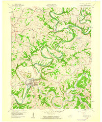
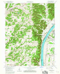
 1960 Huntington1960 Print · USGSThe tri-state river valley thrived in the late fifties as a hub of heavy industry and Appalachian rail transit. Genealogists and historians can trace the connection between river towns like Ashland and Portsmouth or locate family homesteads near Coleman Ridge.
 - 1960 Map of Simpsonville
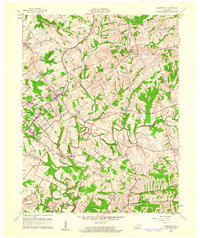
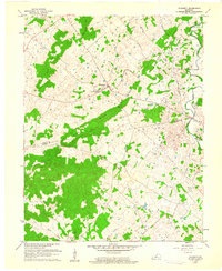
 1960 Simpsonville1960 Print · USGSShelby County farmland was defined by its creeks and competing rail lines during the mid-twentieth century. Researchers can trace the development of Simpsonville and Lincoln Ridge or locate family landmarks like Shiloh Ch and Buck Creek Sch.3 unique versions available
 - 1960 Map of Johnson City
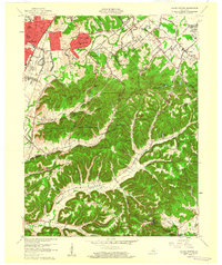
 1960 Johnson City1960 Print · USGSUpper East Tennessee and the surrounding tri-state area are shown in the mid-fifties during the height of the TVA reservoir era. Trace the industrial rail lines of the Southern and Louisville and Nashville between Kingsport and Johnson City.
 - 1960 Map of Winchester
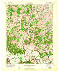
 1960 Winchester1960 Print · USGSCentral Kentucky's diverse landscape is shown here at mid-century, from the bluegrass plains to the rugged Pottsville Escarpment. Genealogists and historians can trace the rail-and-river network connecting towns like Bardstown and Stanford alongside landmarks like Lake Cumberland.
 - 1960 Map of Taylorsville
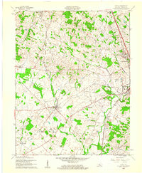
 1960 Taylorsville1960 Print · USGSSpencer County at the start of the 1960s shows a landscape of winding river valleys and tight-knit rural hamlets. Researchers can trace family history through local sites like Little Mount Cem or explore the river-side settings of Taylorsville, Normandy, and Rivals.3 unique versions available
 - 1960 Map of Valley Station
 1960 Valley Station1960 Print · USGSJefferson County and Bullitt County neighborhoods were rapidly evolving in the early sixties as suburbs reached into the knobs. Genealogists can locate family landmarks like Bethany Memorial Cem, Medora Sch, and the community at Fairdale.2 unique versions available
 - 1960 Map of Waterford, 1961 Print
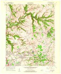
 1960 Waterford1961 Print · USGSCentral Kentucky's rural river valleys and county boundaries are captured here in the early 1960s. Genealogists and local historians can locate Waterford, Whitfield, and the Carrithers Chapel among the winding paths of the Salt River.
 - 1960 Map of Pitts Point, 1961 Print
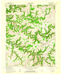
 1960 Pitts Point1961 Print · USGSThe confluence of the Salt River and Rolling Fork in Bullitt County is shown here during the mid-century expansion of military holdings. Genealogists can trace family burial sites like Woolridge Cem and Holsclaw Cem or find the Hays School and Floating Bridge Site.3 unique versions available
 - 1960 Map of Fort Knox, 1961 Print
 1960 Fort Knox1961 Print · USGSFort Knox and the surrounding river valleys are captured here during the height of the Cold War era. Researchers can trace the layout of the U S Bullion Depository and Godman Army Airfield or locate family plots like Boone Cem and McIntire Cem.3 unique versions available
 - 1960 Map of Lanesville, 1961 Print
 1960 Lanesville1961 Print · USGSHarrison County, Indiana, and the Jefferson County shoreline are documented here in the early sixties. Genealogists can trace family names at Lottick Corner or locate ancestral sites like St Johns Church and the Tabler Cemetery near the river bluffs.2 unique versions available
 - 1960 Map of Vine Grove, 1961 Print
 1960 Vine Grove1961 Print · USGSHardin County during the early sixties shows the interface between military growth and rural Kentucky life. Trace family roots at St Brigids Cem or follow the Illinois Central tracks through Vine Grove and Radcliff.5 unique versions available
 - 1960 Map of Kosmosdale, 1961 Print
 1960 Kosmosdale1961 Print · USGSThe Ohio River valley near the Harrison and Jefferson County line is captured here during a period of significant growth. You can trace the development of residential neighborhoods like Meadow Lawn and Valley Station alongside older sites like Elizabeth Ch and Kosmosdale.3 unique versions available
 - 1960 Map of Big Clifty, 1961 Print
 1960 Big Clifty1961 Print · USGSGrayson and Hardin counties are shown in the early sixties as the railroad and river define the local pace of life. Researchers can trace family sites like St Pauls Ch, the Johnson School, and small rail stops from Big Clifty to West Clifty.
 - 1960 Map of Crestwood, 1961 Print
 1960 Crestwood1961 Print · USGSThe rail towns of the Louisville and Nashville line prosper in the 1960s along the Oldham and Jefferson county border. Genealogists can trace family names at Pleasant Hill Cem, find the St Aloysius Sch, and locate the Pewee Valley Sanatorium.2 unique versions available
 - 1960 Map of Rock Haven, 1961 Print
 1960 Rock Haven1961 Print · USGSThe Ohio River borderlands of Kentucky and Indiana are captured here in the early sixties, showing the reach of the river-and-rail economy. Researchers can trace family history through sites like Doe Run Mill, the settlement of Davidson, and several country churches like Buck Grove Ch.3 unique versions available
 - 1960 Map of Flaherty, 1961 Print
 1960 Flaherty1961 Print · USGSMeade and Hardin counties in the early sixties are captured here at the edge of the military expansion. Genealogists can trace family names through rural landmarks like St Martins Ch, Hynes Cem, and the cluster of homes at Flaherty.3 unique versions available
 - 1960 Map of Cecilia, 1961 Print
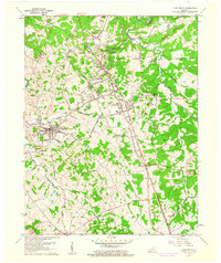
 1960 Cecilia1961 Print · USGSHardin County during the early sixties shows a landscape shaped by the intersection of major rail lines and growing suburban footprints. Genealogists can locate family landmarks such as Bethlehem Academy, St Johns Ch, and the rural community of Kraft.
 - 1960 Map of Anchorage, 1961 Print
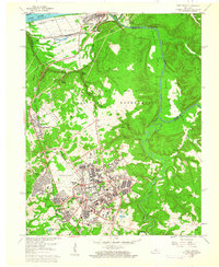
 1960 Anchorage1961 Print · USGSEastern Jefferson County is shown at a peak of institutional and suburban growth in the early sixties. Genealogists and historians can trace family locations near the Kentucky Military Institute, Anchorage, and Ormsby Village.
 - 1960 Map of Jeffersonville, 1961 Print
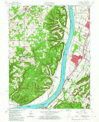
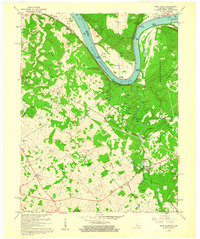
 1960 Jeffersonville1961 Print · USGSJeffersonville and Louisville are shown at a peak of mid-century growth as the river-and-rail economy defined the border between Indiana and Kentucky. Researchers can trace historic institutions and transport hubs, including the Zachary Taylor National Cemetery, the Indiana Arsenal, and the State Railway Museum.
 - 1960 Map of Jeffersontown, 1961 Print
 1960 Jeffersontown1961 Print · USGSEastern Jefferson County comes alive in this early 1960s survey, showing the transition from farmland to suburban neighborhoods. Genealogists and local historians can pinpoint family landmarks like Bullitt Cem, Tucker Station, and the Spring Meadows Childrens Home.
 - 1960 Map of Fisherville, 1961 Print
 1960 Fisherville1961 Print · USGSEastern Jefferson County and its neighboring borders are captured here in the early sixties, showing a landscape defined by rail lines and river bends. Genealogists can locate Lincoln Institute at Lincoln Ridge or trace ancestral sites like Bethlehem Ch and Fisherville.
 - 1960 Map of Louisville East, 1961 Print
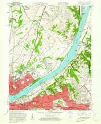
 1960 Louisville East1961 Print · USGSLouisville is captured during its mid-century expansion, as residential subdivisions and new expressways began to link the historic city core with its eastern suburbs. Trace the development of local institutions like Appliance Park, the runways of Bowman Field, and the grounds of Cave Hill Cemetery.
 - 1960 Map of Louisville West, 1961 Print
 1960 Louisville West1961 Print · USGSLouisville and its southern suburbs are captured here during a era of major post-war expansion and highway development. Genealogists and historians can trace family roots through numerous neighborhood landmarks like Hazelwood Sanatorium, St Denis, and Churchill Downs.
 - 1960 Map of Colesburg, 1961 Print
 1960 Colesburg1961 Print · USGSHardin and Bullitt counties are shown during the early 1960s as military and civilian landscapes converged along the Rolling Fork. Researchers can trace the path of the Louisville and Nashville Turnpike or locate family burial sites such as Sycamore Cem and Bowling Cem.3 unique versions available
Showing maps 1-25 of 334
Top cities of Kentucky
- Louisville historical maps
- Lexington historical maps
- Owensboro historical maps
- Bowling Green historical maps
- Covington historical maps
- Georgetown historical maps
See more
Top counties of Kentucky
- Jefferson County historical maps
- Fayette County historical maps
- Kenton County historical maps
- Boone County historical maps
- Warren County historical maps
- Hardin County historical maps
See more
Frequently asked questions
- What are the different types of historical maps available for Kentucky?
- What is the oldest map of Kentucky?
- Where can I purchase historical maps of Kentucky for my home or office?
- Where can I download high-res historical maps of Kentucky?
- Are there historical topographic maps available for Kentucky?
- Is there historical aerial imagery available for Kentucky?
- Where are historical maps of Kentucky sourced from?