1980s Maps of Kentucky
Explore 98 historic maps of Kentucky from the 1980s. These maps offer a rare glimpse into what life looked like during the 1980s — showing old roads, neighborhoods, homes, and landmarks that have changed or disappeared over time.
Whether you're researching your family's past, planning a metal detecting trip, or studying how Kentucky's landscape evolved across the 1980s, these high-resolution maps are a powerful tool for exploring the history of this region.
- Focus on a specific era: All maps on this page are from the 1980s, giving you a focused view of this time period.
- See what’s changed: Compare century-old streets, trails, and buildings to today's modern landscape using overlays and satellite layers.
- Research with precision: Use these maps for genealogy, historical research, land use analysis, or educational projects.
- View, download, or print: Maps are fully viewable online in high resolution, and can be downloaded or printed for your own records.
Start exploring Kentucky's history through authentic maps from the 1980s. This is your window into the past.
Kentucky maps
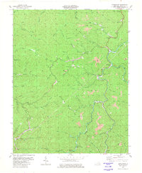
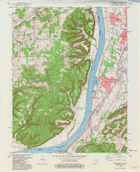
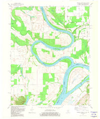
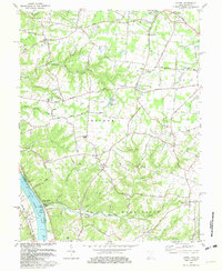
(98)- 1980 Map of Winfield
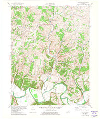
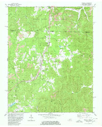 1980 Winfield1980 Print · USGSThe borderlands of Tennessee and Kentucky are captured here in the late twentieth century as the railroad and mining industries shaped the local economy. Researchers can trace family history through dozens of rural landmarks, from Chitwood Cem and Isham Cem to the local congregations at Second Bethlehem Ch.2 unique versions available
 - 1980 Map of Cutshin
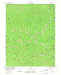
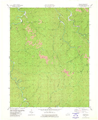 1980 Cutshin1980 Print · USGSLeslie County mountain life and the coal industry meet in this 1980 survey of the Kentucky River's Middle Fork. Genealogists and historians can trace family cemeteries and small settlements like Larkin, Causey, and the Solid Rock Bible Ch.
 - 1980 Map of Hyden East
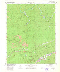
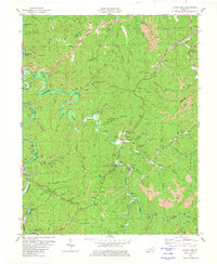 1980 Hyden East1980 Print · USGSThe Leslie County coalfields are captured here in the 1980s, showcasing the intricate relationship between the Middle Fork Kentucky River and the sprawling extractive industry. Researchers can trace family homesteads near Hyden and Wooton, or locate landmarks like the Jacks Point Lookout Tower and Creek Church.
 - 1980 Map of Ketchen
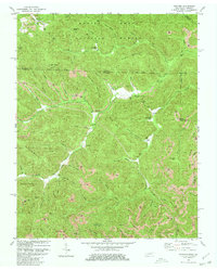 1980 Ketchen1980 Print · USGSThe Kentucky and Tennessee borderlands are captured here in the early eighties as industrial mining reshaped the forest landscape. Genealogists can trace family landmarks and burial sites like Baird Creek Cem, Trammel Cem, and the settlement of Stephens.2 unique versions available
 - 1980 Map of Hoskinston
 1980 Hoskinston1980 Print · USGSLeslie County during the early 1980s reveals a landscape of coal production and close-knit hollow settlements. Genealogists and historians can trace family locations through Halls Rest Haven, Bowen Creek Ch, and the winding Greasy Creek.
 - 1980 Map of Hyden West
 1980 Hyden West1980 Print · USGSThe Kentucky mountains around Hyden are shown during the height of ridge-top coal extraction in the early eighties. Researchers can trace family sites like Sizemore Cem or locate community landmarks including Grace Chapel and the Drive-in Theater.
 - 1980 Map of Bledsoe, 1981 Print
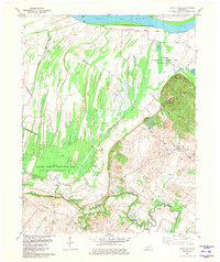
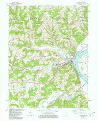
 1980 Bledsoe1981 Print · USGSHarlan County's coal-country landscape is captured here in the early eighties, showing the intersection of industrial extraction and the Kentenia State Forest. Researchers can locate family landmarks like Green Hill Cem, trace the Louisville and Nashville rail line, or find the small community of Bledsoe.
 - 1980 Map of Sawyer, 1981 Print
 1980 Sawyer1981 Print · USGSThe Rockcastle and Laurel Rivers meet in the Daniel Boone National Forest during the early 1980s. Trace local history through Pointers Chapel, Price Cem, and the old settlement at Sawyer before the landscape was reshaped by reservoir waters.2 unique versions available
 - 1980 Map of Hopkinsville, 1983 Print
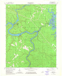
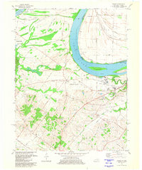
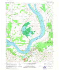
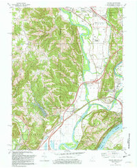
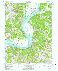
 1980 Hopkinsville1983 Print · USGSThe Kentucky and Tennessee borderlands appear here at the start of the 1980s, centered on the massive Fort Campbell Military Reservation. Trace the impact of the Cumberland River impoundment at Lake Barkley or locate rail hubs like Guthrie and Elkton.
 - 1981 Map of Waterford
 1981 Waterford1981 Print · USGSSpencer and Bullitt counties are captured here in the early 1980s, showcasing a landscape defined by the deep valleys of the Salt River. Local researchers can trace family landmarks and rural crossings near Waterford, Wilsonville, and Wheelers Ridge.3 unique versions available
 - 1981 Map of Brooks
 1981 Brooks1981 Print · USGSThe Jefferson and Bullitt County borderlands come into focus in the early 1980s as suburban growth meets the rugged knobs of northern Kentucky. Genealogists and historians can trace family sites like McCawley Cemetery and early industrial markers at Hubers (Kenlite Station).3 unique versions available
 - 1981 Map of Wilson
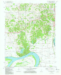
 1981 Wilson1981 Print · USGSThe Ohio River borderlands of Henderson County appear here in the early eighties, balancing vast wetlands with rising industrial footprints. Genealogists can locate family-named sites like Clay Cem and Stroud Cem, while historians can trace the development of Geneva and the Henderson Community College.2 unique versions available
 - 1981 Map of Smith Mills
 1981 Smith Mills1981 Print · USGSThe Ohio River wetlands and Henderson County oil fields are captured here in the early 1980s. Local researchers can trace the rural roads connecting Smith Mills and Hitesville or locate specific Oil Wells and the Saverheber Unit.
 - 1981 Map of Kosmosdale
 1981 Kosmosdale1981 Print · USGSThe Ohio River corridor south of Louisville in the early eighties shows a landscape of suburban expansion meeting heavy river-industry. Researchers can trace family roots at De Pauw Cem, locate the former site of Watson Lane Sch, or explore the rail networks of the Illinois Central Gulf.3 unique versions available
 - 1981 Map of West Franklin
 1981 West Franklin1981 Print · USGSThe rural stretches of Posey and Vanderburgh counties meet the Ohio River here in the early eighties. Genealogists and local historians can trace family-named roads and landmarks like St Pauls Ch, Burdette Park, and the riverfront at West Franklin.2 unique versions available
 - 1981 Map of Uniontown
 1981 Uniontown1981 Print · USGSThe riverfront town of Uniontown and its surrounding floodplains are captured here in the early eighties as a landscape of managed wetlands and river industry. Researchers can trace the river's path through Mississippi Bend or locate local landmarks like St Agnes Cem and the Uniontown Locks and Dam.
 - 1981 Map of Mount Vernon
 1981 Mount Vernon1981 Print · USGSMount Vernon and the winding Ohio River shoreline appear here in the early eighties, capturing a landscape of active river industry and rural family life. Genealogists can trace sites like Belle Fontaine Cem, Zoar Ch, and the defunct Dead Mans Crossing along the rail lines.
 - 1981 Map of Bristol
 1981 Bristol1981 Print · USGSAppalachia and the Tri-Cities region are shown at a peak of industrial and rail development in the early eighties. Researchers can trace the Clinchfield Railroad through the mountains or find local landmarks like King College and the Holston Army Ammunition Plant.2 unique versions available
 - 1981 Map of Wabash Island
 1981 Wabash Island1981 Print · USGSThe tri-state borderlands of Illinois, Indiana, and Kentucky are defined by the winding Wabash River and Ohio River in the early eighties. Genealogists and local historians can trace family sites at Oak Grove and Rowe Cem or locate the old Private Ferry crossing.
 - 1981 Map of Covington
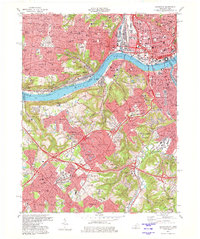 1981 Covington1981 Print · USGSNorthern Kentucky and Cincinnati meet along the river in the early eighties as suburban communities expand into the hills. Trace the development of Villa Hills and Fort Wright, or locate family sites at Highland Cemetery and Linden Grove Cem.2 unique versions available
 - 1981 Map of Hooven, 1982 Print
 1981 Hooven1982 Print · USGSThe Ohio-Indiana-Kentucky borderlands are captured here in the early eighties as industrial gravel operations and rail lines shaped the river valleys. Researchers can trace the Conrail lines through Valley Junction or locate old burial sites like Sugar Ridge Cem and Maple Grove Cem.2 unique versions available
 - 1981 Map of Aurora, 1982 Print
 1981 Aurora1982 Print · USGSThe Indiana-Kentucky borderlands come alive in this early 1980s survey of the riverfront corridor between Aurora and Lawrenceburg. Researchers can trace the path of the Baltimore and Ohio Railroad and locate rural landmarks like Mt Tabor Ch and Kirschs Corner.2 unique versions available
 - 1981 Map of Laurel, 1982 Print
 1981 Laurel1982 Print · USGSClermont County's riverfront and rural interior are captured here in the early 1980s, documenting a landscape of small hamlets and family-named landmarks. Genealogists can trace sites like Monroe Cem, Franklin Chapel, and the historic river town of Point Pleasant.2 unique versions available
 - 1981 Map of Patriot, 1982 Print
 1981 Patriot1982 Print · USGSThe Ohio River valley in the early eighties serves as a backdrop for the riverside community of Patriot and the fertile farmsteads of the bottomlands. Researchers can trace ancestral roots through dozens of local sites like McNutt Cem, Concord Ch, and the outlying settlement at Searcy Crossroads.2 unique versions available
 - 1981 Map of Independence, 1982 Print
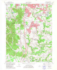
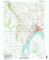
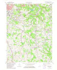 1981 Independence1982 Print · USGSNorthern Kentucky's suburban and rural transition is captured here in the early eighties as the area around INDEPENDENCE grew. Researchers can trace family roots through the Independence Cem or locate community hubs like the County Fairground and St Cecilias Ch.2 unique versions available
Showing maps 1-25 of 98
Top cities of Kentucky
- Louisville historical maps
- Lexington historical maps
- Owensboro historical maps
- Bowling Green historical maps
- Covington historical maps
- Georgetown historical maps
See more
Top counties of Kentucky
- Jefferson County historical maps
- Fayette County historical maps
- Kenton County historical maps
- Boone County historical maps
- Warren County historical maps
- Hardin County historical maps
See more
Frequently asked questions
- What are the different types of historical maps available for Kentucky?
- What is the oldest map of Kentucky?
- Where can I purchase historical maps of Kentucky for my home or office?
- Where can I download high-res historical maps of Kentucky?
- Are there historical topographic maps available for Kentucky?
- Is there historical aerial imagery available for Kentucky?
- Where are historical maps of Kentucky sourced from?