2010s Maps of Kentucky
Explore 3,108 historic maps of Kentucky from the 2010s. These maps offer a rare glimpse into what life looked like during the 2010s — showing old roads, neighborhoods, homes, and landmarks that have changed or disappeared over time.
Whether you're researching your family's past, planning a metal detecting trip, or studying how Kentucky's landscape evolved across the 2010s, these high-resolution maps are a powerful tool for exploring the history of this region.
- Focus on a specific era: All maps on this page are from the 2010s, giving you a focused view of this time period.
- See what’s changed: Compare century-old streets, trails, and buildings to today's modern landscape using overlays and satellite layers.
- Research with precision: Use these maps for genealogy, historical research, land use analysis, or educational projects.
- View, download, or print: Maps are fully viewable online in high resolution, and can be downloaded or printed for your own records.
Start exploring Kentucky's history through authentic maps from the 2010s. This is your window into the past.
Kentucky maps
(3,108)- 2010 Map of McBrayer, 2010 Print
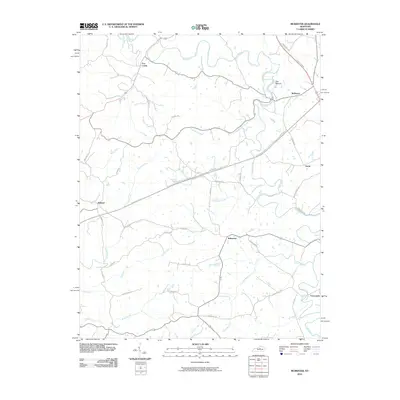 2010 McBrayer2010 Print · USGSAnderson County at the start of the 2010s shows a landscape defined by the winding Salt River and rural crossroads. Local historians can trace family-named landmarks and small settlements like Fox Creek, Ballard, and the prominent local feature known as The Mound.
 - 2010 Map of Berea, 2010 Print
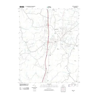 2010 Berea2010 Print · USGSBerea and its surrounding Madison County highlands are captured here in the early twenty-first century. Researchers can locate numerous family burial sites like Todd Cemetery and Witt Cemetery or trace landmarks like Boone Gap.
 - 2010 Map of Mount Sterling, 2010 Print
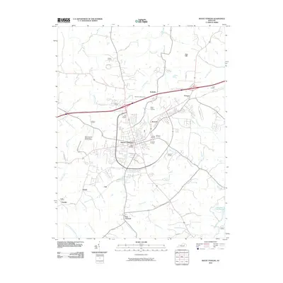 2010 Mount Sterling2010 Print · USGSMount Sterling and its surrounding Montgomery County countryside are captured here in the early twenty-first century. Researchers can trace ancestral sites and local history through numerous burial grounds like Machpelah Cemetery and the Old Indian Battle Ground.
 - 2010 Map of Glensboro, 2010 Print
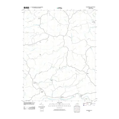 2010 Glensboro2010 Print · USGSCentral Kentucky's rural landscape is mapped here at the start of the decade, following the winding Salt River and its upland ridges. Genealogists can trace several local burial grounds, including Best Cemetery, and small historic nodes like Glensboro and Avenstoke.
 - 2010 Map of Buckeye, 2010 Print
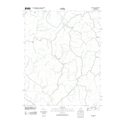 2010 Buckeye2010 Print · USGSGarrard County at the start of the decade shows a quiet rural landscape defined by the winding Kentucky River. Researchers can map the homesteads and small communities near Buckeye, Judson, and the distinctive river bend at Devils Elbow.
 - 2010 Map of Raywick, 2010 Print
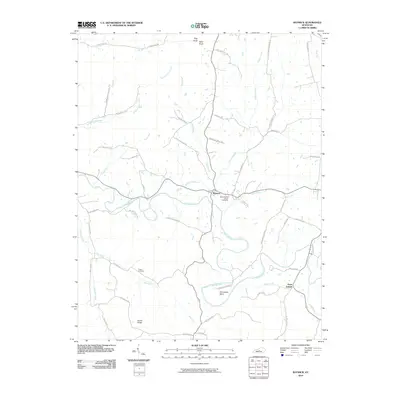 2010 Raywick2010 Print · USGSThe Rolling Fork river valley in Marion County remains a landscape of deep family heritage and rural settlement as seen in this early 21st-century record. Genealogists can trace local lineages through family-named routes and landmark sites like Saint Francis Xavier Cemetery, Sutton Cemetery, and the hamlet of Saint Joseph.
 - 2010 Map of Little Cypress, 2010 Print
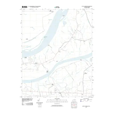 2010 Little Cypress2010 Print · USGSWestern Kentucky near the meeting of the Ohio and Tennessee Rivers comes into focus here in the early twenty-first century. Genealogists and local historians can trace family ties at Possum Trot, Crowell Landing, and Leeper Cemetery.
 - 2010 Map of Waterford, 2010 Print
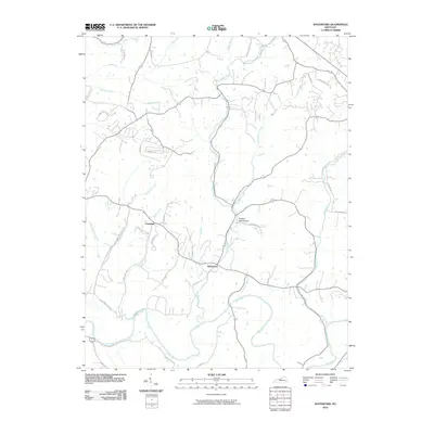 2010 Waterford2010 Print · USGSThis rural Kentucky landscape near the Jefferson and Spencer county line is shown here in the early twenty-first century. Genealogists and local historians can trace the course of the Salt River and locate the small communities of Waterford and Crenshaw.
 - 2010 Map of Panola, 2010 Print
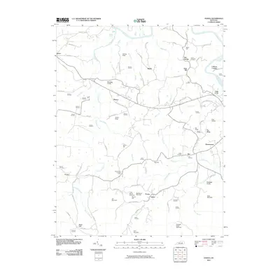 2010 Panola2010 Print · USGSThe rural hills of Estill and Madison Counties are shown here at the start of the 2010s, centered on the community of Winston. Genealogists can trace family lines across dozens of sites like Hubbard Cemetery, Panola, and the Kentucky River.
 - 2010 Map of Richmond South, 2010 Print
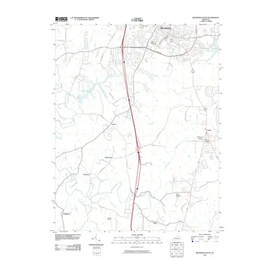 2010 Richmond South2010 Print · USGSMadison County in the early twenty-first century reveals the meeting point of campus life and rural heritage south of the county seat. Researchers can trace historic family-named settlements like Peytontown and Buggytown alongside the sprawling grounds of Eastern Kentucky University.
 - 2010 Map of Guston, 2010 Print
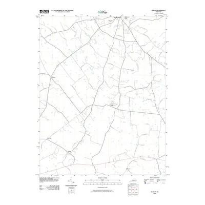 2010 Guston2010 Print · USGSMeade County settlement and family lands are well-documented here during the first decade of the millennium. Genealogists can trace family-named landmarks and historical sites like Cap Anderson Cemetery, Ekron, and the waters of Doe Run.
 - 2010 Map of Union City, 2010 Print
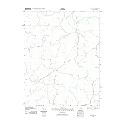 2010 Union City2010 Print · USGSMadison County at the turn of the decade reveals a landscape defined by the Kentucky River and its deep creek valleys. Genealogists and local historians can trace family-named roads and landmarks like Jackson Ferry, Weddles Mill, and the Flatwoods Cemetery.
 - 2010 Map of Big Clifty, 2010 Print
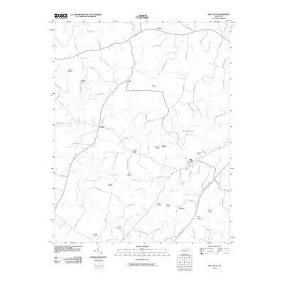 2010 Big Clifty2010 Print · USGSGrayson County's rural communities and winding creek valleys are documented here as they appeared in 2010. Researchers can trace ancestral connections through family-named sites like Moore Cemetery or explore the settlements at Saint Paul and Big Clifty.
 - 2010 Map of Paris East, 2010 Print
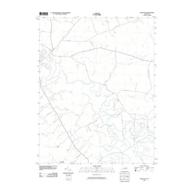 2010 Paris East2010 Print · USGSBourbon County is shown at the start of the 21st century as a landscape of established horse farms and winding creek beds. Genealogists and researchers can locate the Clay Cemetery and trace the rural community near Escondida along Stoner Creek.
 - 2010 Map of Ford, 2010 Print
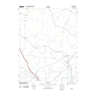 2010 Ford2010 Print · USGSThe Kentucky River corridor and its historic crossings are captured here in the early 21st century. Researchers can trace local lineage through small settlements like Boonesboro, Lisletown, and Ford, or locate old homesteads along GRIMES MILL RD.
 - 2010 Map of Valley View, 2010 Print
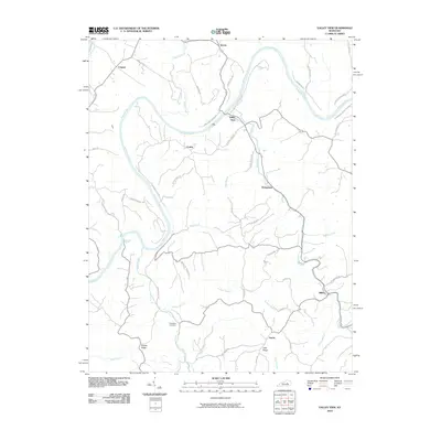 2010 Valley View2010 Print · USGSThe Kentucky River valley in the early twenty-first century remains a landscape of high ridges and winding watercourses. Researchers can trace rural settlement patterns and local history at Valley View, Freindship Cemetery, and along the historic Carvers Ferry Rd.
 - 2010 Map of Olney, 2010 Print
 2010 Olney2010 Print · USGSWestern Kentucky's rural landscape is mapped here in the decade before 2010, showing the small settlements and family plots between the Tradewater River and the parkway. Genealogists can trace family names at the Beckner Cemetery or McGregor Cemetery, while researchers can locate the Tyrie Mine.
 - 2010 Map of Marion, 2010 Print
 2010 Marion2010 Print · USGSMarion and the surrounding Kentucky countryside are captured here in the early 2000s, showing a landscape defined by small-town centers and rolling knobs. Researchers can locate many ancestral burial grounds like Mapleview Cemetery and Crayne Cemetery, or trace local landmarks such as City Lake and Harrison Trestle.
 - 2010 Map of New Concord, 2010 Print
 2010 New Concord2010 Print · USGSNear the Tennessee border in the early twenty-first century, this area features the expansive shoreline of Kentucky Lake and the Blood River valley. Trace family history through numerous rural burial grounds like Barnett Cemetery and Stubblefield Cemetery.
 - 2010 Map of Cowan, 2010 Print
 2010 Cowan2010 Print · USGSThe Licking River valley comes into sharp focus during this era, revealing a landscape of small settlements and family burial grounds. Researchers can trace the winding Old Buffalo Trl, locate Big Tunnel at Tunnel Hill, and find ancestral sites like Standiford Cemetery.
 - 2010 Map of Lawrenceville, 2010 Print
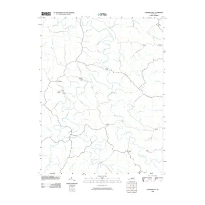 2010 Lawrenceville2010 Print · USGSOwen County's rural creek valleys and upland ridges are captured here during the early twenty-first century. Genealogists can trace family landmarks and burial sites like Lingenfelter Cemetery, Starnes Bridge, and the community of Needmore.
 - 2010 Map of Kirksville, 2010 Print
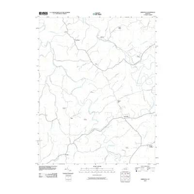 2010 Kirksville2010 Print · USGSIn the hills of Madison County, this modern survey shows the enduring rural layout of communities like Kirksville and Cottonburg. Genealogists and local historians can trace family ties through several mapped burial grounds, including Gilead Cemetery and Moore Cemetery.
 - 2010 Map of Glencoe, 2010 Print
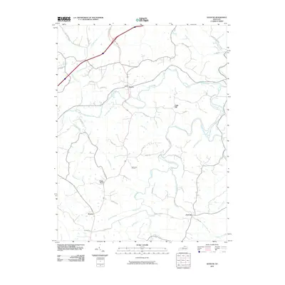 2010 Glencoe2010 Print · USGSGallatin County at the turn of the millennium remains a landscape of winding creek valleys and established rural communities. Researchers can trace family history through the Asa Kemper Cemetery or explore the geography of Glencoe, Poplar Grove, and the banks of Eagle Creek.
 - 2010 Map of North Middletown, 2010 Print
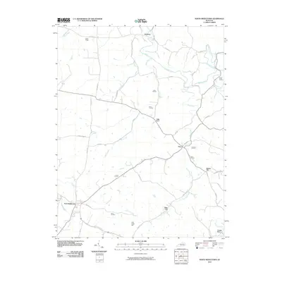 2010 North Middletown2010 Print · USGSNorth Middletown and the surrounding Kentucky countryside appear here in the early twenty-first century, showing a landscape defined by rolling ridges and creek valleys. Genealogists can locate several family burial sites like Wilson Cemetery and Horton Cemetery tucked between Plum Lick Creek and Boone Creek.
 - 2010 Map of Polsgrove, 2010 Print
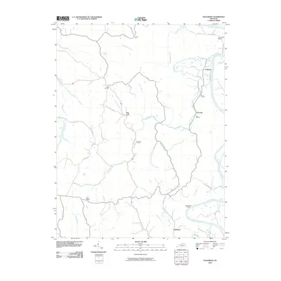 2010 Polsgrove2010 Print · USGSFranklin County's river-carved interior is documented here in the early twenty-first century as rural communities remain centered around the Kentucky River. Genealogists can trace family sites like Bailey Cemetery or locate old crossings at Harpers Ferry and Polsgrove.
Showing maps 1-25 of 3,108
Top cities of Kentucky
- Louisville historical maps
- Lexington historical maps
- Owensboro historical maps
- Bowling Green historical maps
- Covington historical maps
- Georgetown historical maps
See more
Top counties of Kentucky
- Jefferson County historical maps
- Fayette County historical maps
- Kenton County historical maps
- Boone County historical maps
- Warren County historical maps
- Hardin County historical maps
See more
Frequently asked questions
- What are the different types of historical maps available for Kentucky?
- What is the oldest map of Kentucky?
- Where can I purchase historical maps of Kentucky for my home or office?
- Where can I download high-res historical maps of Kentucky?
- Are there historical topographic maps available for Kentucky?
- Is there historical aerial imagery available for Kentucky?
- Where are historical maps of Kentucky sourced from?