1990s Maps of Kentucky
Explore 121 historic maps of Kentucky from the 1990s. These maps offer a rare glimpse into what life looked like during the 1990s — showing old roads, neighborhoods, homes, and landmarks that have changed or disappeared over time.
Whether you're researching your family's past, planning a metal detecting trip, or studying how Kentucky's landscape evolved across the 1990s, these high-resolution maps are a powerful tool for exploring the history of this region.
- Focus on a specific era: All maps on this page are from the 1990s, giving you a focused view of this time period.
- See what’s changed: Compare century-old streets, trails, and buildings to today's modern landscape using overlays and satellite layers.
- Research with precision: Use these maps for genealogy, historical research, land use analysis, or educational projects.
- View, download, or print: Maps are fully viewable online in high resolution, and can be downloaded or printed for your own records.
Start exploring Kentucky's history through authentic maps from the 1990s. This is your window into the past.
Kentucky maps
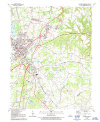
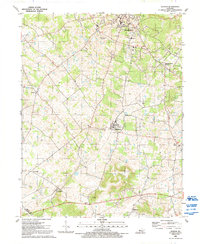
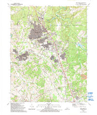
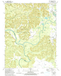
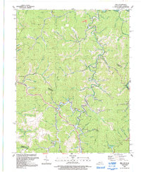
(121)- 1990 Map of Madison, 1991 Print
 1990 Madison1991 Print · USGSCovers Kentucky, including Seymour, Madison, and other nearby areas
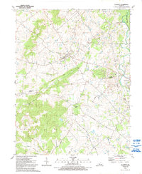
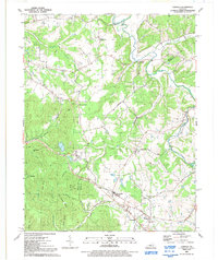
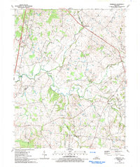
 - 1991 Map of Evansville
 1991 Evansville1991 Print · USGSCovers Kentucky, including Evansville, Owensboro, and other nearby areas
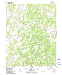
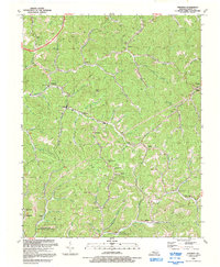
 - 1991 Map of Maysville
 1991 Maysville1991 Print · USGSCovers Kentucky, including Portsmouth, Maysville, and other nearby areas
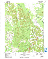
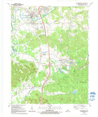
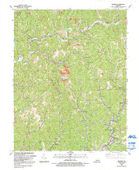
 - 1991 Map of Elizabethtown
 1991 Elizabethtown1991 Print · USGSCovers Kentucky, including Elizabethtown, Tunnel Hills, and other nearby areas
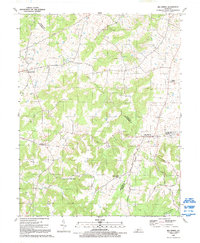
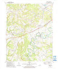
 - 1991 Map of Harrodsburg
 1991 Harrodsburg1991 Print · USGSCovers Kentucky, including Lexington, Richmond, and other nearby areas
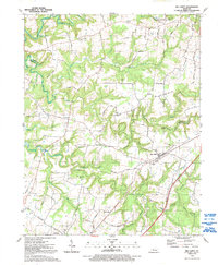
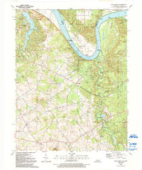
 - 1991 Map of Tell City
 1991 Tell City1991 Print · USGSCovers Kentucky, including Tell City, Leitchfield, and other nearby areas
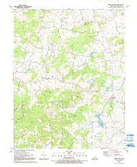
 - 1991 Map of Big Spring, 1992 Print
 1991 Big Spring1992 Print · USGSCovers Kentucky, including Maples Corner, High Plains Corner, and other nearby areas
 - 1991 Map of Big Clifty, 1992 Print
 1991 Big Clifty1992 Print · USGSCovers Kentucky, including Clarkson, Tar Hill, and other nearby areas
 - 1991 Map of Colesburg, 1992 Print
 1991 Colesburg1992 Print · USGSCovers Kentucky, including Elizabethtown, Colesburg, and other nearby areas
 - 1991 Map of Guston, 1992 Print
 1991 Guston1992 Print · USGSCovers Kentucky, including Brandenburg, Ekron, and other nearby areas
 - 1991 Map of Fort Knox, 1992 Print
 1991 Fort Knox1992 Print · USGSCovers Kentucky, including Louisville, Radcliff, and other nearby areas
 - 1991 Map of Flaherty, 1992 Print
 1991 Flaherty1992 Print · USGSCovers Kentucky, including Vine Grove, Hardin County, and other nearby areas
 - 1991 Map of Constantine, 1992 Print
 1991 Constantine1992 Print · USGSCovers Kentucky, including Vertrees, Constantine, and other nearby areas
 - 1991 Map of Shepherdsville, 1992 Print
 1991 Shepherdsville1992 Print · USGSCovers Kentucky, including Shepherdsville, Hobbs, and other nearby areas
 - 1991 Map of Vine Grove, 1992 Print
 1991 Vine Grove1992 Print · USGSCovers Kentucky, including Elizabethtown, Radcliff, and other nearby areas
 - 1991 Map of Summit, 1992 Print
 1991 Summit1992 Print · USGSCovers Kentucky, including Old Stephensburg, Eastview, and other nearby areas
 - 1991 Map of Rock Haven, 1992 Print
 1991 Rock Haven1992 Print · USGSCovers Kentucky, including New Boston, Cedar Farm Landing, and other nearby areas
 - 1991 Map of Howe Valley, 1992 Print
 1991 Howe Valley1992 Print · USGSCovers Kentucky, including Four Corners, Franklin Cross Roads, and other nearby areas
 - 1991 Map of Pitts Point, 1992 Print
 1991 Pitts Point1992 Print · USGSCovers Kentucky, including Shepherdsville, Pitts Point, and other nearby areas
 - 1991 Map of Samuels, 1992 Print
 1991 Samuels1992 Print · USGSCovers Kentucky, including Samuels, Lenore, and other nearby areas
 - 1992 Map of Jenkins East
 1992 Jenkins East1992 Print · USGSCovers Kentucky, including Jenkins, Pound, and other nearby areas
 - 1992 Map of Hindman
 1992 Hindman1992 Print · USGSCovers Kentucky, including Hindman, Pippa Passes, and other nearby areas
 - 1992 Map of Mayking
 1992 Mayking1992 Print · USGSCovers Kentucky, including Whitesburg, Van, and other nearby areas
 - 1992 Map of Milo
 1992 Milo1992 Print · USGSCovers Kentucky, including Stidham, Castle, and other nearby areas
 - 1992 Map of Tonieville
 1992 Tonieville1992 Print · USGSCovers Kentucky, including Hodgenville, Mathers Mill, and other nearby areas
Showing maps 1-25 of 121
Top cities of Kentucky
- Louisville historical maps
- Lexington historical maps
- Owensboro historical maps
- Bowling Green historical maps
- Covington historical maps
- Georgetown historical maps
See more
Top counties of Kentucky
- Jefferson County historical maps
- Fayette County historical maps
- Kenton County historical maps
- Boone County historical maps
- Warren County historical maps
- Hardin County historical maps
See more
Frequently asked questions
- What are the different types of historical maps available for Kentucky?
- What is the oldest map of Kentucky?
- Where can I purchase historical maps of Kentucky for my home or office?
- Where can I download high-res historical maps of Kentucky?
- Are there historical topographic maps available for Kentucky?
- Is there historical aerial imagery available for Kentucky?
- Where are historical maps of Kentucky sourced from?