2020s Maps of Maine
Explore 1,457 historic maps of Maine from the 2020s. These maps offer a rare glimpse into what life looked like during the 2020s — showing old roads, neighborhoods, homes, and landmarks that have changed or disappeared over time.
Whether you're researching your family's past, planning a metal detecting trip, or studying how Maine's landscape evolved across the 2020s, these high-resolution maps are a powerful tool for exploring the history of this region.
- Focus on a specific era: All maps on this page are from the 2020s, giving you a focused view of this time period.
- See what’s changed: Compare century-old streets, trails, and buildings to today's modern landscape using overlays and satellite layers.
- Research with precision: Use these maps for genealogy, historical research, land use analysis, or educational projects.
- View, download, or print: Maps are fully viewable online in high resolution, and can be downloaded or printed for your own records.
Start exploring Maine's history through authentic maps from the 2020s. This is your window into the past.
Maine maps
- 2021 Map of Tenants Harbor OE S, 2021 Print
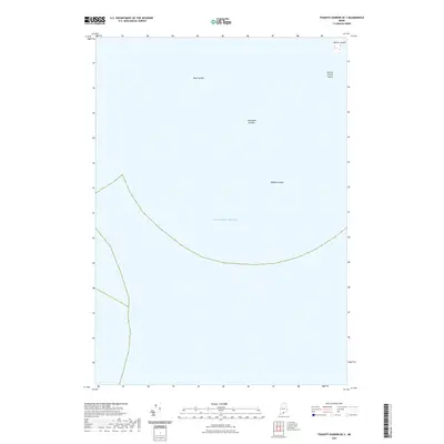 2021 Tenants Harbor OE S2021 Print · USGSCoastal waters off Saint George in the early twenty-first century reveal the isolated outposts and maritime hazards of the Maine coast. Marine researchers can locate offshore landmarks like Metinic Island and treacherous points such as Roaring Bull.
 - 2021 Map of Matinicus OE W, 2021 Print
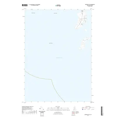 2021 Matinicus OE W2021 Print · USGSThe western reaches of Matinicus Isle are documented here in the early twenty-first century, showing the island's essential transport and coastal geography. Genealogists and local historians can trace family land access via Leach Rd, South Rd, and the Matinicus Island Airport.
 - 2021 Map of Phippsburg, 2021 Print
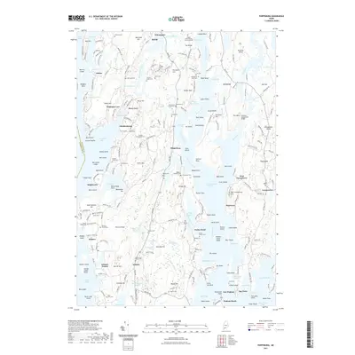 2021 Phippsburg2021 Print · USGSThis coastal reach of the Kennebec River reveals a landscape of tidal bays and family farmsteads in the early twenty-first century. Genealogists can trace decades of local history through dozens of namesake burial sites like the Bartlett Family Cem and Higgins-Blaisdell Cem.
 - 2021 Map of Hewett Island OE S, 2021 Print
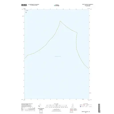 2021 Hewett Island OE S2021 Print · USGSThe isolated waters of the Maine coast are captured here in the early twenty-first century. Maritime researchers and island enthusiasts can locate the specific terrain of Hog Island and its northern point at The Nubble set against the Atlantic Ocean.
 - 2021 Map of Matinicus OE E, 2021 Print
 2021 Matinicus OE E2021 Print · USGSThe Gulf of Maine is the focus of this maritime survey, documenting a specific expanse of open water. Researchers can trace the position of a dashed boundary line crossing the Atlantic Ocean.
 - 2021 Map of Isles of Shoals, 2021 Print
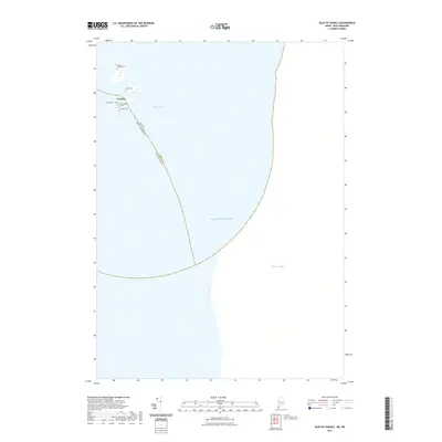 2021 Isles of Shoals2021 Print · USGSThe Isles of Shoals at the Maine and New Hampshire maritime border are shown here in modern detail. Trace the heritage of Gosport and several small island cemeteries, including the Old Burying Ground and Beebe Cem.
 - 2021 Map of Tenants Harbor, 2021 Print
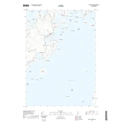 2021 Tenants Harbor2021 Print · USGSThe Knox County coast is captured here in the early twenty-first century, showing the enduring settlement patterns of the Saint George peninsula. Researchers can locate family sites near Seaside Cem or trace the roads leading to Tenants Harbor and Martinsville.
 - 2021 Map of Lubec, 2021 Print
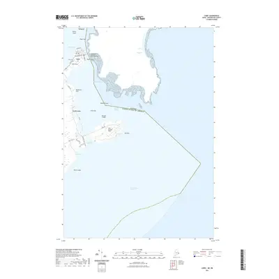 2021 Lubec2021 Print · USGSThe easternmost edge of the United States comes into sharp focus in this 2021 study of the Maine coast at the Canadian border. Researchers can trace the maritime geography of Lubec and the roads leading to West Quoddy Head, passing through South Lubec and the Lubec Cem.
 - 2021 Map of Hewett Island, 2021 Print
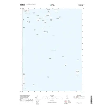 2021 Hewett Island2021 Print · USGSThe Maine coastline near Saint George is shown here as a complex network of islands and channels in 2021. Maritime researchers can trace the intricate passages of Muscle Ridge Channel and locate isolated landmarks like Hurricane Island and the Two Bush Reef.
 - 2021 Map of South Harpswell, 2021 Print
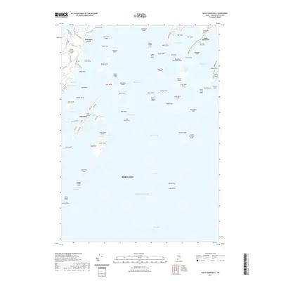 2021 South Harpswell2021 Print · USGSThe island communities of Casco Bay are shown in fine detail during the early 2020s, highlighting the enduring maritime character of coastal Maine. Researchers can trace local landmarks like Graveyard Point Cem, the Cliff Island Ferry, and the road networks of South Harpswell.
 - 2021 Map of Matinicus, 2021 Print
 2021 Matinicus2021 Print · USGSThe offshore waters near Vinalhaven, Maine, are captured in this maritime survey from the early 2020s. Genealogists and historians can trace the rocky outcroppings and maritime boundaries within the Atlantic Ocean that define this coastal region.
 - 2021 Map of Monhegan, 2021 Print
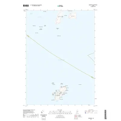 2021 Monhegan2021 Print · USGSMonhegan Island and its surrounding waters are captured here in the early twenty-first century, showcasing the isolated settlement and its rugged harbor. Researchers can trace landforms and local geography from Lighthouse Hill and Lobster Cove to the outlying Georges Islands.
 - 2021 Map of Boothbay Harbor, 2021 Print
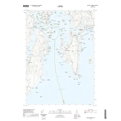 2021 Boothbay Harbor2021 Print · USGSThe Lincoln County coastline comes to life in this detailed 2021 study of the islands and inlets surrounding West Boothbay Harbor. Researchers can trace decades of family history through numerous family plots like the Stephen Jewett Cem and the Old Burying Ground.
 - 2021 Map of Bristol, 2021 Print
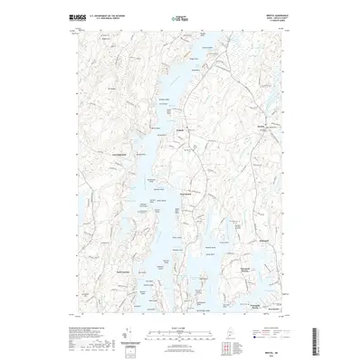 2021 Bristol2021 Print · USGSCoastal Lincoln County is mapped here in the early twenty-first century, showing the dense network of peninsulas and coves near Bristol. Genealogists can locate several small family plots, such as the McFarland - Erskine Family Cem and the Stephen Bryer Farm Cem.
 - 2021 Map of Orrs Island, 2021 Print
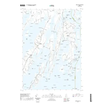 2021 Orrs Island2021 Print · USGSCoastal Maine at the start of the 2020s shows a landscape of deep inlets and narrow peninsulas defined by its maritime heritage. Genealogists and historians can trace family-named sites such as Pennellville and find several burial grounds, including the Old Harpswell Common Burying Ground.
 - 2021 Map of Louds Island, 2021 Print
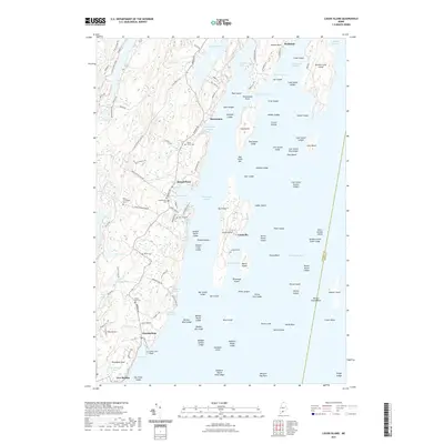 2021 Louds Island2021 Print · USGSCoastal Lincoln County at the start of the 2020s reveals a maritime landscape of islands and harbors shaped by centuries of seafaring. Genealogists can trace family footprints at Loudville Cem or Ocean Hill Cem, while maritime researchers can study the intricate ledges of Muscongus Sound.
 - 2021 Map of Friendship, 2021 Print
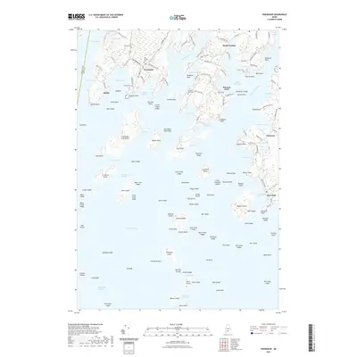 2021 Friendship2021 Print · USGSCoastal Maine's rocky peninsulas and islands are documented here during the early twenty-first century. Genealogists and historians can trace family locations near Friendship and Port Clyde while locating historic burial sites like Old Village Cem and Hathorn Cem.
 - 2021 Map of Matinicus OE NE, 2021 Print
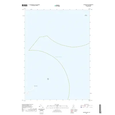 2021 Matinicus OE NE2021 Print · USGSCoastal Knox County waters appear here in recent detail, focusing on the submerged landmarks southeast of Vinalhaven. Maritime researchers can pinpoint seafaring hazards such as Roaring Bull Ledge, Three Fathom Ledge, and Eastern Ledge.
 - 2021 Map of Bath, 2021 Print
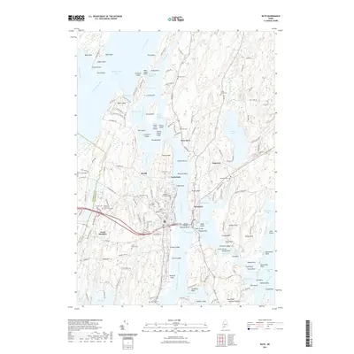 2021 Bath2021 Print · USGSCoastal Maine at the start of the 2020s shows a landscape deeply tied to the tidal Kennebec and its complex estuaries. Researchers can trace historic burial sites like Oak Grove Cem or locate specific landmarks like the Maine District Court - West Bath and Days Ferry.
 - 2021 Map of Westport, 2021 Print
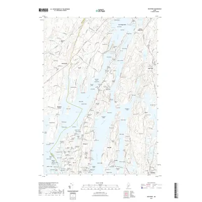 2021 Westport2021 Print · USGSThe Maine coast near Edgecomb and Westport Island is shown in its modern layout, characterized by complex tidal rivers and numerous family burial sites. Genealogists and historians can trace lineages at the Ancient Cem, find the Trevett Swing Bridge, or locate landmarks like Doggett Castle.
 - 2021 Map of Matinicus OE NW, 2021 Print
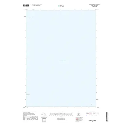 2021 Matinicus OE NW2021 Print · USGSCoastal Knox County waters come into focus in this recent maritime survey of the outer Gulf of Maine. Mariners and local historians can pinpoint significant navigational hazards and landmarks like Junken Ledge and the Green Island Seal Ledges in the open Atlantic Ocean.
 - 2021 Map of Eastport OE E, 2021 Print
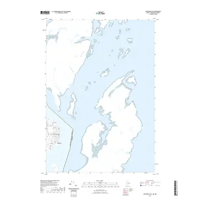 2021 Eastport OE E2021 Print · USGSThe coastal edge of Washington County and the international maritime boundary are documented in this recent survey. Researchers can trace the street grid of Eastport or locate burial sites at Bayside Cem and Hillside Cem near the Maine shore.
 - 2021 Map of Matinicus OE N, 2021 Print
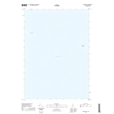 2021 Matinicus OE N2021 Print · USGSThe open waters south of Vinalhaven come into focus in this modern coastal survey. Mariners and local historians can pinpoint named underwater hazards such as Bay Ledge and Snippershan Ledge within the vast Atlantic Ocean.
 - 2021 Map of Peaked Mountain, 2021 Print
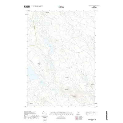 2021 Peaked Mountain2021 Print · USGSWashington County’s interior timberlands and glacial lakes are captured here in the early twenty-first century. Researchers can trace the drainages of the West Branch Machias River and find landmarks like Peaked Mtn and Lower Cranberry Lake.
 - 2021 Map of Alligator Lake, 2021 Print
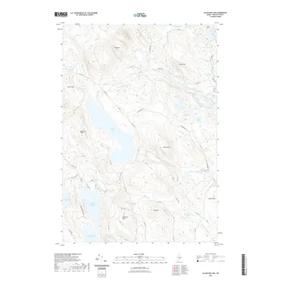 2021 Alligator Lake2021 Print · USGSHancock County's interior wilderness comes into focus in this early twenty-first-century survey of the Maine woods. Trace the network of timber access roads and family-named landmarks like Bamfords Ridge, Baker Ridge, and the shores of Alligator Lake.
Showing maps 1-25
Top cities of Maine
- Portland historical maps
- Lewiston historical maps
- Bangor historical maps
- South Portland historical maps
- Auburn historical maps
- Biddeford historical maps
See more
Top counties of Maine
- Cumberland County historical maps
- York County historical maps
- Penobscot County historical maps
- Kennebec County historical maps
- Androscoggin County historical maps
- County historical maps
See more
Frequently asked questions
- What are the different types of historical maps available for Maine?
- What is the oldest map of Maine?
- Where can I purchase historical maps of Maine for my home or office?
- Where can I download high-res historical maps of Maine?
- Are there historical topographic maps available for Maine?
- Is there historical aerial imagery available for Maine?
- Where are historical maps of Maine sourced from?