2020s Maps of Antrim County, Michigan
Explore 21 historic maps of Antrim County from the 2020s. These maps offer a rare glimpse into what life looked like during the 2020s — showing old roads, neighborhoods, homes, and landmarks that have changed or disappeared over time.
Whether you're researching your family's past, planning a metal detecting trip, or studying how Antrim County's landscape evolved across the 2020s, these high-resolution maps are a powerful tool for exploring the history of this region.
- Focus on a specific era: All maps on this page are from the 2020s, giving you a focused view of this time period.
- See what’s changed: Compare century-old streets, trails, and buildings to today's modern landscape using overlays and satellite layers.
- Research with precision: Use these maps for genealogy, historical research, land use analysis, or educational projects.
- View, download, or print: Maps are fully viewable online in high resolution, and can be downloaded or printed for your own records.
Start exploring Antrim County's history through authentic maps from the 2020s. This is your window into the past.
Antrim County, MI maps
(21)- 2023 Map of Chestonia, 2023 Print
 2023 Chestonia2023 Print · USGSAntrim County at the start of the 2020s remains a landscape of river valleys and rural homesteads. Trace ancestral connections at Settlement Cem or Trojanek Cem, and follow the winding Jordan River through Chestonia.
 - 2023 Map of Scotts Lake, 2023 Print
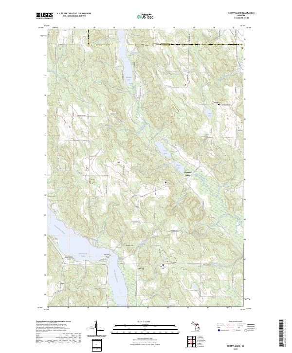 2023 Scotts Lake2023 Print · USGSAntrim County's lake-and-river network is documented here in the early 2020s, showcasing the interconnected waterways of the north. Researchers can trace rural lineages through sites like Dunsmore Cem or explore the settlement at Pleasant Valley.
 - 2023 Map of Ellsworth, 2023 Print
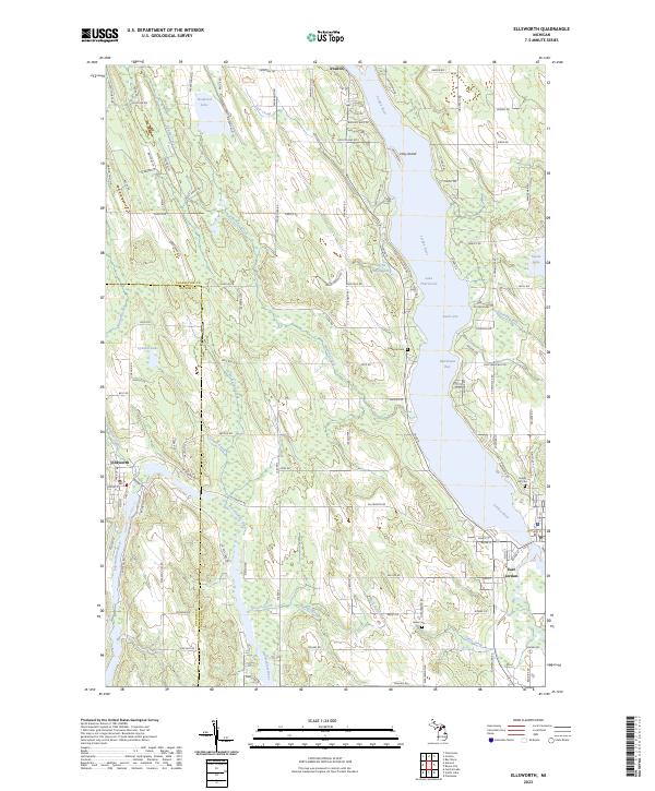 2023 Ellsworth2023 Print · USGSThe Lake Charlevoix region in the early 2020s is a landscape of interconnected waterways and lakeside villages. Genealogists and local historians can trace the foundations of Ellsworth and East Jordan, alongside historic burial sites like Lakeside Cem and Jones Cem.
 - 2023 Map of Mancelona, 2023 Print
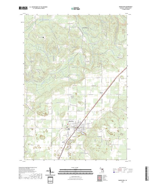 2023 Mancelona2023 Print · USGSAntrim County’s interior landscape is shown here as it appears today, centered on the growing community of Mancelona and its southern neighbor Antrim. Researchers can pinpoint family burial sites at Fairview Cem or trace the winding path of the North Country National Scenic Trl near Mount Bundy.
 - 2023 Map of Westwood, 2023 Print
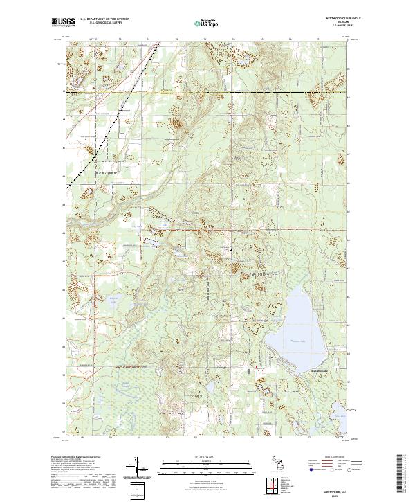 2023 Westwood2023 Print · USGSKalkaska County at the Antrim border is a landscape of glacial lakes and river headwaters. Researchers can trace the settlement at Westwood, the Cold Spring Cem, and the winding North Country National Scenic Trl.
 - 2023 Map of Leetsville, 2023 Print
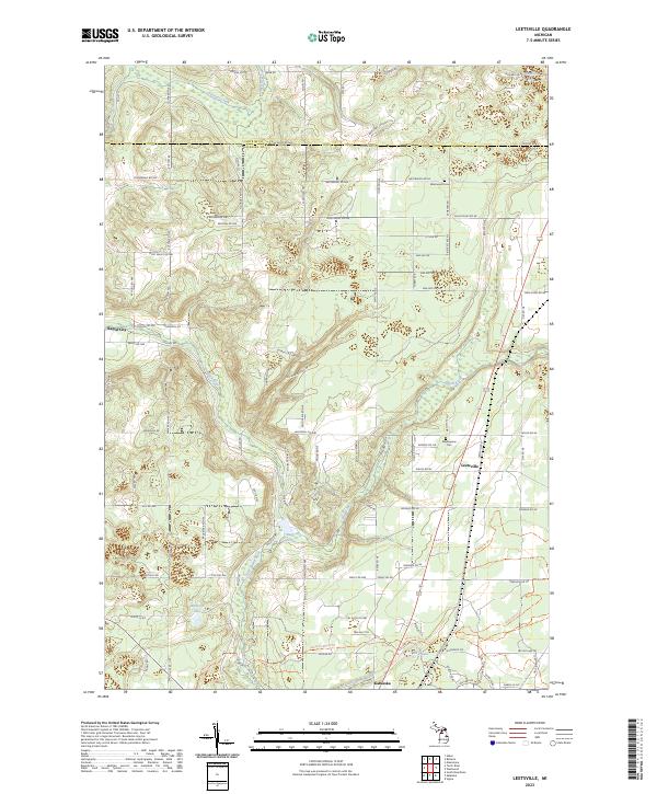 2023 Leetsville2023 Print · USGSAntrim and Kalkaska counties are documented here in the early 2020s, showing the rural settlements and waterways of northern Michigan. Researchers can trace family sites near Westwood Cem, follow the Rapid River, or locate the crossroads of Leetsville.
 - 2023 Map of Atwood, 2023 Print
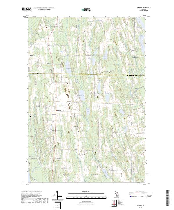 2023 Atwood2023 Print · USGSThe rural lake country of Antrim and Charlevoix counties is detailed here in this recent survey. Researchers can locate family landmarks along Old Dixie Hwy and trace historical burials at the Atwood Cem, Antrim Cem, or Ellsworth Cem.
 - 2023 Map of Williamsburg, 2023 Print
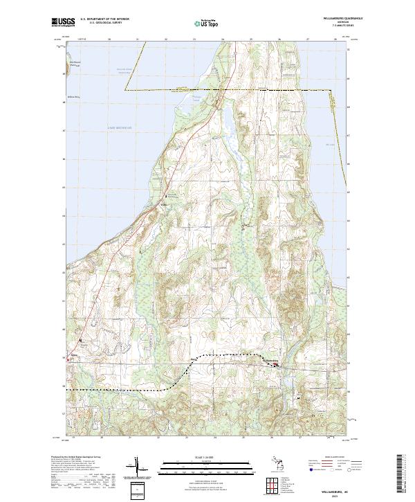 2023 Williamsburg2023 Print · USGSGrand Traverse Bay and the surrounding countryside are shown here in the 2020s, highlighting the coastal interface of Old Mission Peninsula. Researchers can trace local heritage through sites like Williamsburg Cem and the small settlements of Yuba and Bates.
 - 2023 Map of Central Lake, 2023 Print
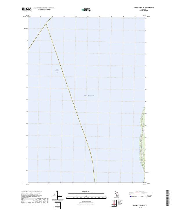
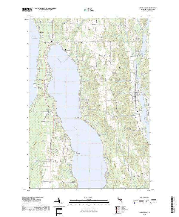 2023 Central Lake2023 Print · USGSAntrim County’s inland waterways and lakefront settlements are documented here during the early twenty-first century. Genealogists and researchers can trace property locations near Central Lake, Eastport, and historic burial sites like Bay View Cemetery and Lake View Cemetery.
 - 2023 Map of Deadmans Hill, 2023 Print
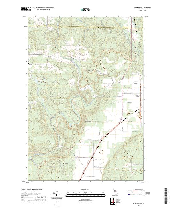 2023 Deadmans Hill2023 Print · USGSAntrim and Charlevoix counties meet in this 2023 survey of the northern Michigan highlands. Local historians can trace the Jordan River valley from Deadmans Hill to the Jordan River National Fish Hatchery, while locating family sites at Brown Cem.
 - 2023 Map of Atwood OE W, 2023 Print
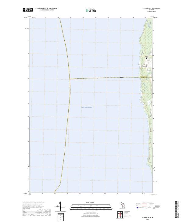 2023 Atwood OE W2023 Print · USGSThe Lake Michigan shoreline of Antrim and Charlevoix counties is captured here in the early 2020s. Researchers can trace local history at Norwood Cem and follow the route of Old Dixie Hwy as it passes the coastal village of Norwood.
 - 2023 Map of Alden, 2023 Print
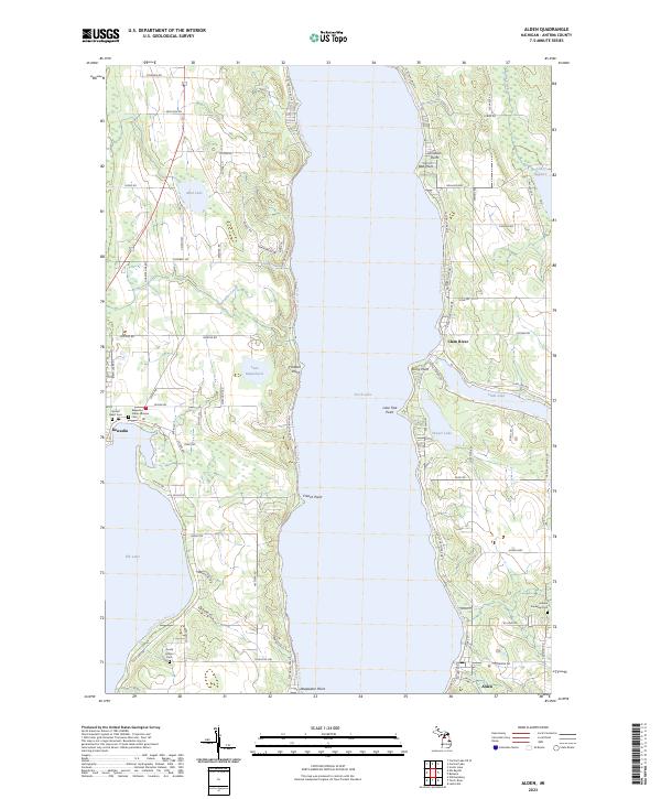 2023 Alden2023 Print · USGSAntrim County’s shoreline and village life are captured here in the early twenty-first century, centered on the deep waters of Torch Lake. Researchers can locate family heritage sites like the Kewadin Indian Mission Cem and the lakeside streets of Alden and Kewadin.
 - 2023 Map of Bellaire, 2023 Print
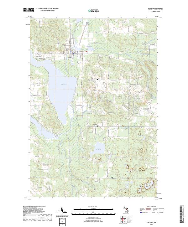 2023 Bellaire2023 Print · USGSAntrim County’s lake country is documented here in the early 2020s, centered on the village of Bellaire and its glacial waters. Researchers can pinpoint Lakeview Cem, the Antrim County Court House, and the recreational paths of the Chain of Lakes Water Trl.
 - 2023 Map of Elmira, 2023 Print
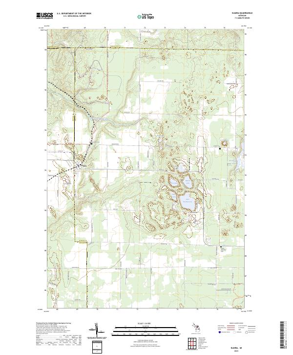 2023 Elmira2023 Print · USGSOtsego County's high country is captured here during the early twenty-first century, centered on the settlement of Elmira. Genealogists and local historians can locate several burial grounds including Saint Thomas Cem and Hayes Township Cem among the region's many glacial lakes.
 - 2023 Map of Elk Rapids, 2023 Print
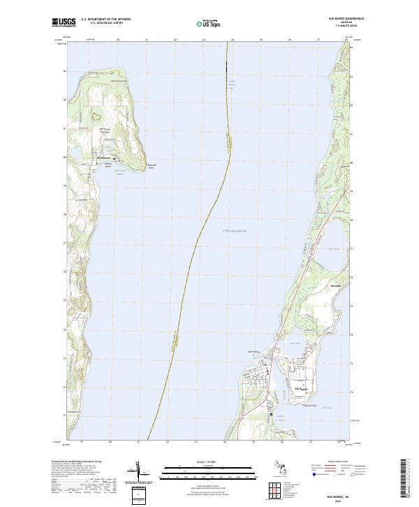 2023 Elk Rapids2023 Print · USGSGrand Traverse Bay and the northern tip of the Old Mission Peninsula are captured here in the early twenty-first century. Researchers can trace local lineage at Lakeside Cem and Maple Grove Cem or locate homes near Elk Rapids and Kewadin.
 - 2023 Map of Frederic, 2023 Print
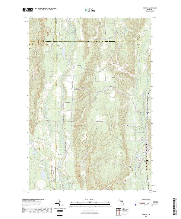 2023 Frederic2023 Print · USGSCrawford County's forested interior is captured here as a modern network of trails and historic river crossings. Genealogists can locate Shrine Cem and Oakwood Cem, while explorers can trace the heritage of Deward along the Manistee River.
 - 2023 Map of Central Lake OE W, 2023 Print
 2023 Central Lake OE W2023 Print · USGSThe western Antrim County shoreline is captured here in the early twenty-first century, showing the interface of Lake Michigan and Grand Traverse Bay. Researchers can trace the layout of coastal roads and property access points like Bay View Dr, Patees Pond Rd, and Creswell Rd.
 - 2023 Map of Torch River, 2023 Print
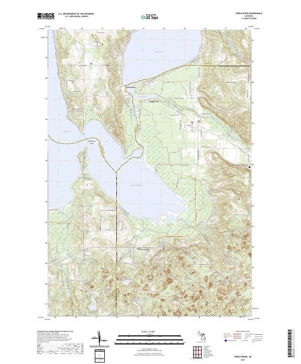 2023 Torch River2023 Print · USGSNorthern Michigan’s interlocking waterways are mapped here in the early twenty-first century, centered on the passage between Torch Lake and Lake Skegemog. Researchers can locate Saint Mary of the Woods Catholic Cem and trace the paths of Rapid River through Rapid City.
 - 2023 Map of Starvation Lake, 2023 Print
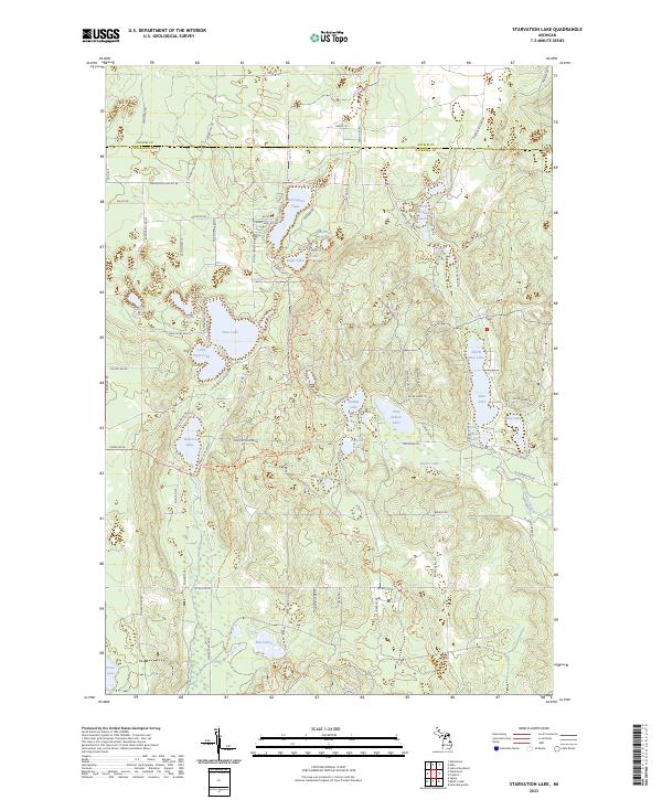 2023 Starvation Lake2023 Print · USGSKalkaska County at the start of the 2020s shows a landscape transformed by its glacial lakes and modern recreational growth. Genealogists and outdoor historians can trace property access and local landmarks from Starvation Lake to the North Country National Scenic Trail.
 - 2023 Map of Lake Arrowhead, 2023 Print
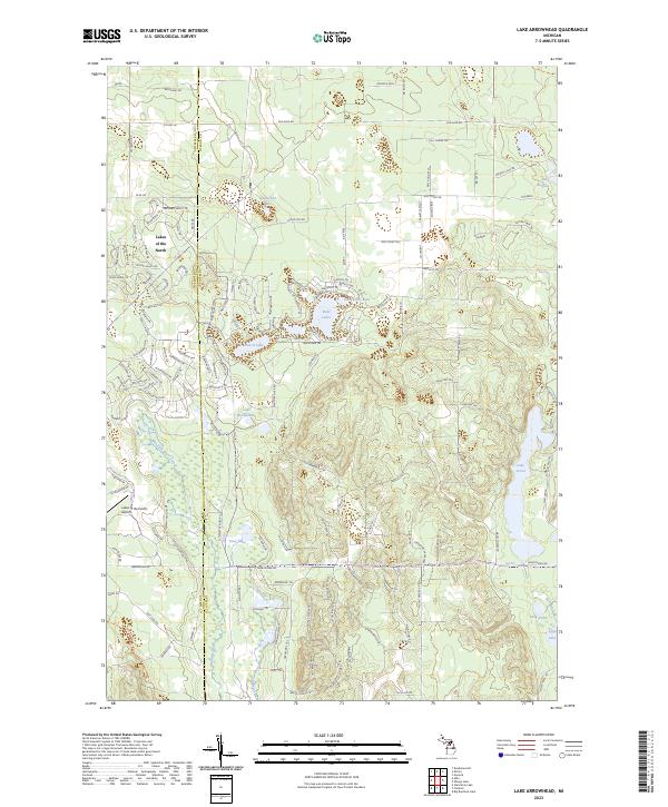 2023 Lake Arrowhead2023 Print · USGSOtsego County during the early twenty-first century reveals a landscape shaped by both private development and protected woodlands. Researchers can trace the layout of Lakes of the North and find secluded water bodies like Buhl Lakes and Lake Washwomen.
 - 2023 Map of Alba, 2023 Print
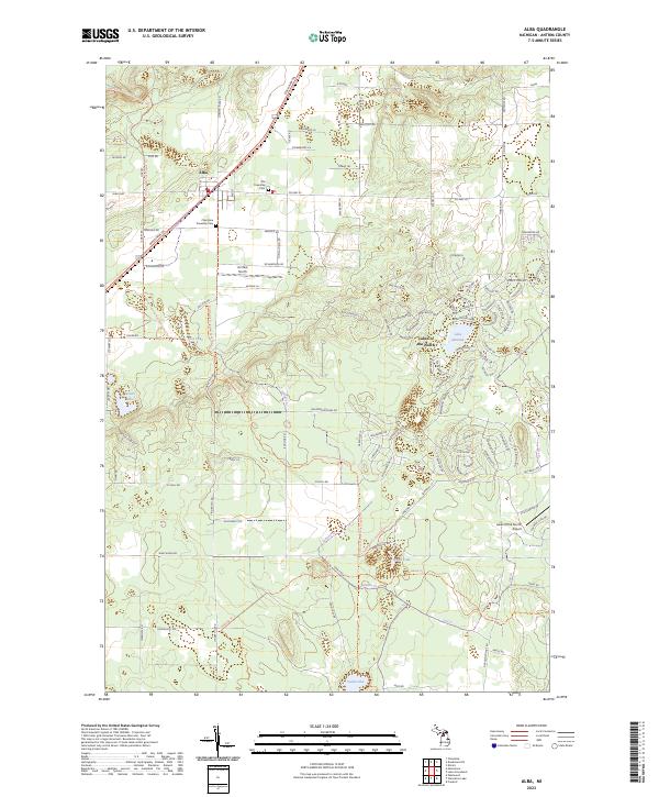 2023 Alba2023 Print · USGSAlba and the surrounding townships of Antrim County are shown in this recent survey during a period of modern recreational growth. Genealogists can locate Star Township Cem and Chestonia Township Cem, while others may trace the winding North Country National Scenic Trl past Five Lake.
End of results
Showing maps 1-21 of 21
Top cities of Antrim County
Frequently asked questions
- What are the different types of historical maps available for Antrim County?
- What is the oldest map of Antrim County?
- Where can I purchase historical maps of Antrim County for my home or office?
- Where can I download high-res historical maps of Antrim County?
- Are there historical topographic maps available for Antrim County?
- Is there historical aerial imagery available for Antrim County?
- Where are historical maps of Antrim County sourced from?