2000s (21st Century) Maps of Minnesota
Explore 8,665 historic maps of Minnesota from the 2000s (21st Century). These maps offer a rare glimpse into what life looked like during the 2000s — showing old roads, neighborhoods, homes, and landmarks that have changed or disappeared over time.
Whether you're researching your family's past, planning a metal detecting trip, or studying how Minnesota's landscape evolved across the 2000s, these high-resolution maps are a powerful tool for exploring the history of this region.
- Focus on a specific era: All maps on this page are from the 2000s, giving you a focused view of this time period.
- See what’s changed: Compare century-old streets, trails, and buildings to today's modern landscape using overlays and satellite layers.
- Research with precision: Use these maps for genealogy, historical research, land use analysis, or educational projects.
- View, download, or print: Maps are fully viewable online in high resolution, and can be downloaded or printed for your own records.
Start exploring Minnesota's history through authentic maps from the 2000s. This is your window into the past.
Minnesota maps
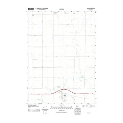
- 2010 Map of Little Rock, 2010 Print
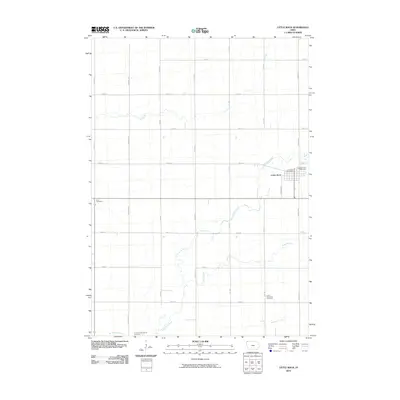 2010 Little Rock2010 Print · USGSCovers Minnesota, including Little Rock, Nobles County, and other nearby areas
 - 2010 Map of Sibley West, 2010 Print
 2010 Sibley West2010 Print · USGSCovers Minnesota, including Sibley, Little Rock, and other nearby areas
 - 2010 Map of Lakota, 2010 Print
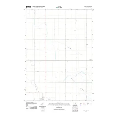 2010 Lakota2010 Print · USGSCovers Minnesota, including Lakota, Stevens, and other nearby areas
 - 2010 Map of Sibley East, 2010 Print
 2010 Sibley East2010 Print · USGSCovers Minnesota, including Sibley, Bigelow, and other nearby areas
 - 2010 Map of Harris, 2010 Print
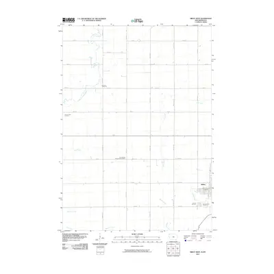
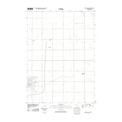
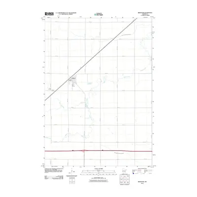
 2010 Harris2010 Print · USGSCovers Minnesota, including Harris, Nobles County, and other nearby areas
 - 2010 Map of Brewster, 2010 Print
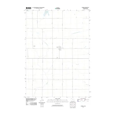
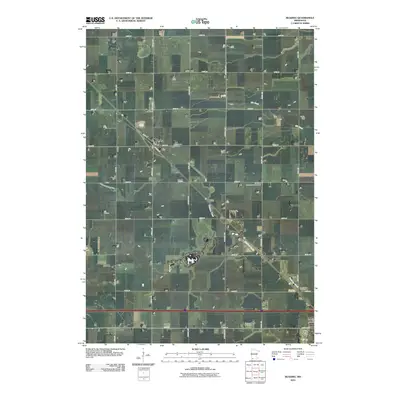
 2010 Brewster2010 Print · USGSCovers Minnesota, including Brewster, Nobles County, and other nearby areas
 - 2010 Map of Lime Creek, 2010 Print
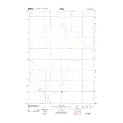 2010 Lime Creek2010 Print · USGSCovers Minnesota, including Fulda, Lime Creek, and other nearby areas
 - 2010 Map of Reading, 2010 Print
 2010 Reading2010 Print · USGSCovers Minnesota, including Worthington, Reading, and other nearby areas
 - 2010 Map of Adrian, 2010 Print
 2010 Adrian2010 Print · USGSCovers Minnesota, including Adrian, Lismore, and other nearby areas
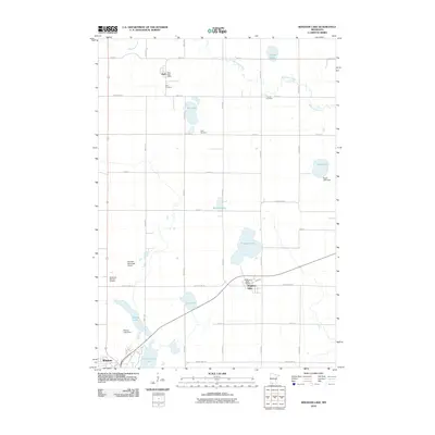
 - 2010 Map of Heron Lake NW, 2010 Print
 2010 Heron Lake NW2010 Print · USGSCovers Minnesota, including Murray County, Cottonwood County, and other nearby areas
 - 2010 Map of Bingham Lake, 2010 Print
 2010 Bingham Lake2010 Print · USGSCovers Minnesota, including Windom, Bingham Lake, and other nearby areas
 - 2010 Map of Lakefield, 2010 Print
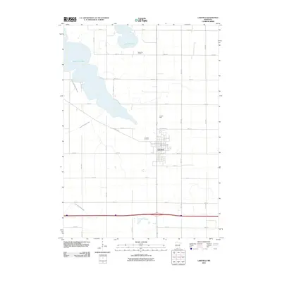 2010 Lakefield2010 Print · USGSCovers Minnesota, including Lakefield, Jackson County, and other nearby areas
 - 2010 Map of Lakefield SW, 2010 Print
 2010 Lakefield SW2010 Print · USGSCovers Minnesota, including Dickinson County, Jackson County, and other nearby areas
 - 2010 Map of Dundee, 2010 Print
 2010 Dundee2010 Print · USGSCovers Minnesota, including Dundee, Kinbrae, and other nearby areas
 - 2010 Map of Sioux Valley, 2010 Print
 2010 Sioux Valley2010 Print · USGSCovers Minnesota, including Sioux Valley, Spafford, and other nearby areas
 - 2010 Map of Fulda SW, 2010 Print
 2010 Fulda SW2010 Print · USGSCovers Minnesota, including Pfingsten, Nobles County, and other nearby areas
 - 2010 Map of Lakefield NE, 2010 Print
 2010 Lakefield NE2010 Print · USGSCovers Minnesota, including Jackson, Jackson County, and other nearby areas
 - 2010 Map of Chandler, 2010 Print
 2010 Chandler2010 Print · USGSCovers Minnesota, including Chandler, Lake Wilson, and other nearby areas
 - 2010 Map of Slayton, 2010 Print
 2010 Slayton2010 Print · USGSCovers Minnesota, including Slayton, Iona, and other nearby areas
 - 2010 Map of Avoca, 2010 Print
 2010 Avoca2010 Print · USGSCovers Minnesota, including Slayton, Avoca, and other nearby areas
 - 2010 Map of Fulda, 2010 Print
 2010 Fulda2010 Print · USGSCovers Minnesota, including Fulda, Nobles County, and other nearby areas
 - 2010 Map of Harder Lake, 2010 Print
 2010 Harder Lake2010 Print · USGSCovers Minnesota, including Windom, Cottonwood County, and other nearby areas
 - 2010 Map of Worthington South, 2010 Print
 2010 Worthington South2010 Print · USGSCovers Minnesota, including Worthington, Nobles County, and other nearby areas
 - 2010 Map of Windom, 2010 Print
 2010 Windom2010 Print · USGSCovers Minnesota, including Windom, Jackson County, and other nearby areas
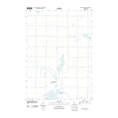
 - 2010 Map of Heron Lake, 2010 Print
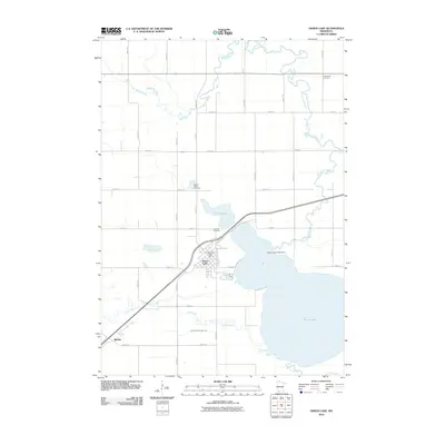 2010 Heron Lake2010 Print · USGSCovers Minnesota, including Heron Lake, Miloma, and other nearby areas
Showing maps 1-25
Top cities of Minnesota
- Minneapolis historical maps
- Saint Paul historical maps
- Rochester historical maps
- Duluth historical maps
- Bloomington historical maps
- Brooklyn Park historical maps
See more
Top counties of Minnesota
- Hennepin County historical maps
- Ramsey County historical maps
- Dakota County historical maps
- Washington County historical maps
- Saint Louis County historical maps
- Stearns County historical maps
See more
Frequently asked questions
- What are the different types of historical maps available for Minnesota?
- What is the oldest map of Minnesota?
- Where can I purchase historical maps of Minnesota for my home or office?
- Where can I download high-res historical maps of Minnesota?
- Are there historical topographic maps available for Minnesota?
- Is there historical aerial imagery available for Minnesota?
- Where are historical maps of Minnesota sourced from?