2020s Maps of Minnesota
Explore 1,779 historic maps of Minnesota from the 2020s. These maps offer a rare glimpse into what life looked like during the 2020s — showing old roads, neighborhoods, homes, and landmarks that have changed or disappeared over time.
Whether you're researching your family's past, planning a metal detecting trip, or studying how Minnesota's landscape evolved across the 2020s, these high-resolution maps are a powerful tool for exploring the history of this region.
- Focus on a specific era: All maps on this page are from the 2020s, giving you a focused view of this time period.
- See what’s changed: Compare century-old streets, trails, and buildings to today's modern landscape using overlays and satellite layers.
- Research with precision: Use these maps for genealogy, historical research, land use analysis, or educational projects.
- View, download, or print: Maps are fully viewable online in high resolution, and can be downloaded or printed for your own records.
Start exploring Minnesota's history through authentic maps from the 2020s. This is your window into the past.
Minnesota maps
(1,779)- 2020 Map of Pembina, 2020 Print
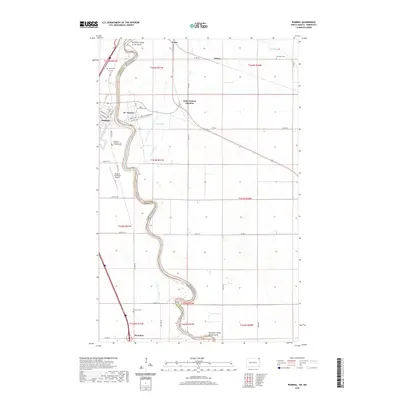 2020 Pembina2020 Print · USGSThe Red River Valley straddles the North Dakota and Minnesota border in this modern survey, capturing the crossroads of international transit and river history. Genealogists can locate several family and community burial grounds like Metis Cem, Saint Vincent Cem, and McArthur Cem.
 - 2020 Map of Wahpeton, 2020 Print
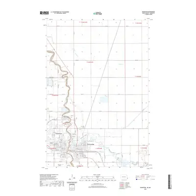 2020 Wahpeton2020 Print · USGSThe border towns of Wahpeton and Breckenridge sit at the strategic meeting of the Otter Tail River and the Bois de Sioux River. Genealogists and local historians can trace the urban development around Saint Marys Cem and the Harry Stern Airport at the headwaters of the Red River.
 - 2020 Map of Fairmount, 2020 Print
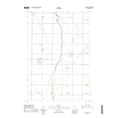 2020 Fairmount2020 Print · USGSRichland County, North Dakota, sits at the Minnesota border in this study of the Red River Valley's edge. Researchers can locate family plots at Fairmount Cem or Pleasant Hill Cem and trace the winding Bois de Sioux River and the small settlement of Childs.
 - 2020 Map of Bowesmont, 2020 Print
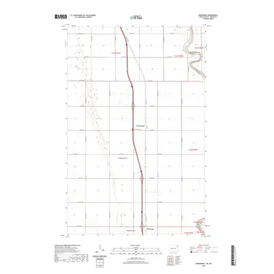 2020 Bowesmont2020 Print · USGSPembina County and the North Dakota-Minnesota border are captured here in a period of modern agricultural stability. Genealogists and local historians can trace the street layout of Bowesmont, the location of Pittsburgh, and the grounds of the Bowesmont Cem near the river.
 - 2020 Map of Dwight, 2020 Print
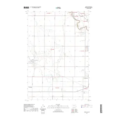 2020 Dwight2020 Print · USGSRichland County, North Dakota, is mapped here as it appeared in 2020, centered on the fertile prairie between the Red River and the Wild Rice River. Genealogists can locate family sites near Dwight, Brushvale, and Faith Lutheran Cem.
 - 2020 Map of Joliette, 2020 Print
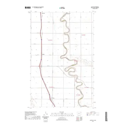 2020 Joliette2020 Print · USGSThe North Dakota-Minnesota border comes alive in this study of the Red River Valley at the start of the 2020s. Genealogists and local historians can trace the rural landscape near Joliette, locate the Joliette Cem, and follow the old roadbeds of Old Hwy 81 and Old Hwy 44.
 - 2020 Map of Big Woods SW, 2020 Print
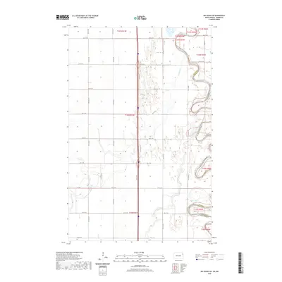 2020 Big Woods SW2020 Print · USGSThe North Dakota and Minnesota border comes alive in this study of the Red River Valley’s meandering waterways. Genealogists and land researchers can trace the oxbows of the Red River of the North and the confluence of the Forest River and Marais River.
 - 2020 Map of Abercrombie, 2020 Print
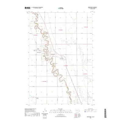 2020 Abercrombie2020 Print · USGSThe Red River Valley in the twenty-first century remains defined by its winding waterways and deep-rooted prairie settlements. Genealogists can trace family sites at Fort Abercrombie Post Cem, McCauleyville, and Saint Johns Lutheran Church Cem.
 - 2020 Map of Christine, 2020 Print
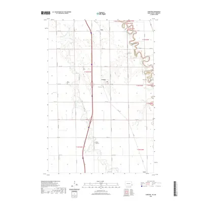 2020 Christine2020 Print · USGSThe Red River Valley's agricultural heartland is documented here in the early twenty-first century, showing the winding paths of the Wild Rice River and Red River of the North. Genealogists can locate numerous small burial sites like Pioneer Cem, South Pleasant Cem, and Eagle Cem.
 - 2020 Map of Hickson, 2020 Print
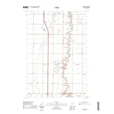 2020 Hickson2020 Print · USGSThe Red River Valley south of Fargo is seen here in the 2020s, showing a landscape defined by the winding Red River of the North. Genealogists and historians can trace the rural communities of Saint Benedict and Oxbow along with several local burial sites like Clara Cem.
 - 2020 Map of Fargo North, 2020 Print
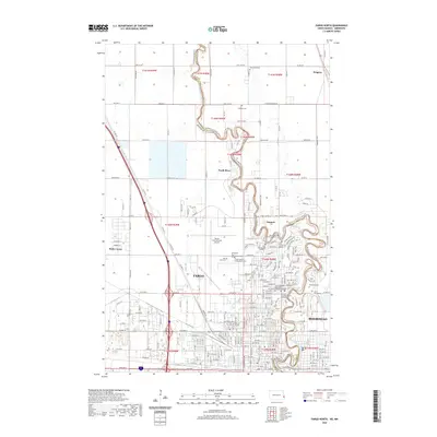 2020 Fargo North2020 Print · USGSFargo and Moorhead sit divided by the winding state line of the Red River Valley in this recent topographical study. Genealogists can trace numerous burial sites like Springvale Cem and Riverside Cem or find the suburban reaches of Reiles Acres.
 - 2020 Map of Big Woods NW, 2020 Print
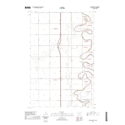 2020 Big Woods NW2020 Print · USGSThe Red River Valley's agricultural heartland is documented in this 2020 survey of the borderlands between North Dakota and Minnesota. Genealogists and local historians can locate rural landmarks like Zion Cem, Saint Joseph's Cem, and the winding course of the Park River.
 - 2020 Map of Fargo South, 2020 Print
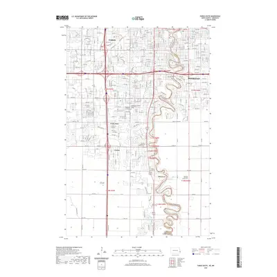 2020 Fargo South2020 Print · USGSThe Red River valley at the turn of the decade shows the continued growth of Fargo and Moorhead along their winding river border. Genealogists can locate several major burial sites, including Salem Lutheran Cem and Evergreen Cem, alongside landmarks like Gethsemane Cathedral.
 - 2020 Map of Drayton, 2020 Print
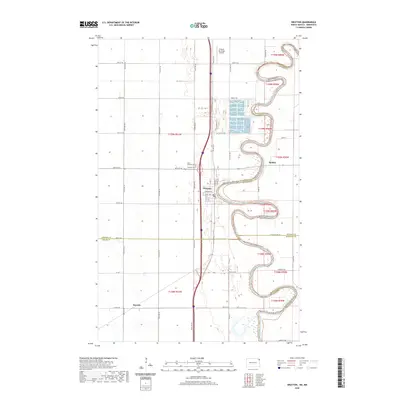 2020 Drayton2020 Print · USGSThe winding Red River Valley comes into sharp focus in this 2020 survey of the North Dakota-Minnesota border. Genealogists and historians can trace the river's path past Drayton, Robbin, and local landmarks like Saint Edward Cem.
 - 2020 Map of Manvel, 2020 Print
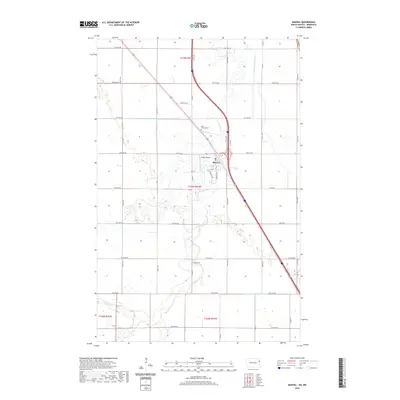 2020 Manvel2020 Print · USGSManvel and the surrounding Grand Forks County plains are documented here in the early twenty-first century. Researchers can trace the path of the Turtle River past Saint Timothy Cem or locate the small-scale aviation history at Heyde Airport.
 - 2020 Map of Climax NW, 2020 Print
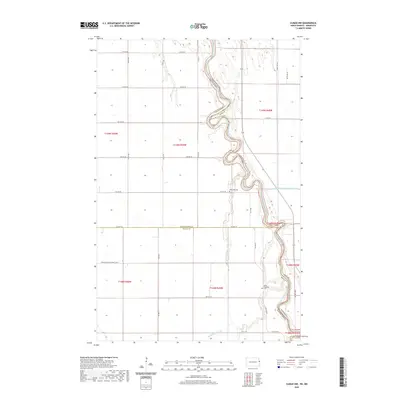 2020 Climax NW2020 Print · USGSThe Red River Valley's agricultural grid and sharp river bends are meticulously detailed in this recent look at the North Dakota and Minnesota border. Genealogists can trace family connections at Rosendahl Cem and North Ringsaker Cem nestled near the Red River.
 - 2020 Map of Pembina OE N, 2020 Print
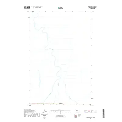 2020 Pembina OE N2020 Print · USGSThe international border near the 49th parallel is defined by the winding course of the Red River as it flows north into Canada. Researchers can trace the path of the Joe River and Bradley Coulee across this agricultural landscape.
 - 2020 Map of Climax SW, 2020 Print
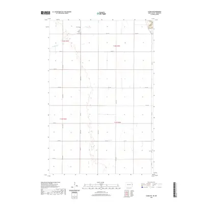 2020 Climax SW2020 Print · USGSPolk County at the start of the 2020s remains a landscape of wide-open agricultural fields and historic family ties. Researchers can trace local heritage at rural landmarks like Grue Lutheran Cem, Hillstead Cem, and the path of Buffalo Coulee.
 - 2020 Map of Grand Forks, 2020 Print
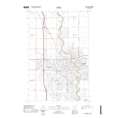 2020 Grand Forks2020 Print · USGSThe Red River Valley's urban hub comes into sharp focus during the early twenty-first century as it spans the border between North Dakota and Minnesota. Genealogy and history researchers can trace local institutions like the University of North Dakota and Montefiore Cem.
 - 2020 Map of Thompson, 2020 Print
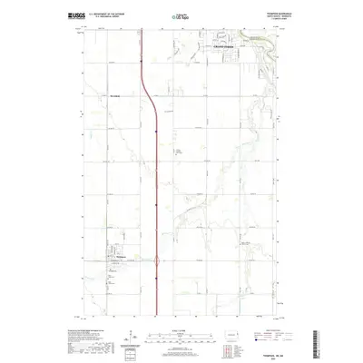 2020 Thompson2020 Print · USGSThe fertile prairie south of Grand Forks is captured here during a period of steady rural continuity. Family historians can locate several local burial sites, including the Walle Lutheran Church Cem and Thompson Cem, alongside the small rail-aligned settlement of Merrifield.
 - 2021 Map of Peever NE, 2021 Print
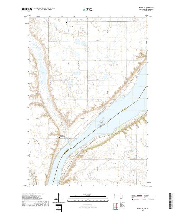 2021 Peever NE2021 Print · USGSLake Traverse and the surrounding prairie wetlands of Roberts County are captured here during the early twenty-first century. Genealogists can locate family sites near Trinity Lutheran Cem or trace the drainage of Jim Creek and Steer Cr through the plains.
 - 2021 Map of Rosholt, 2021 Print
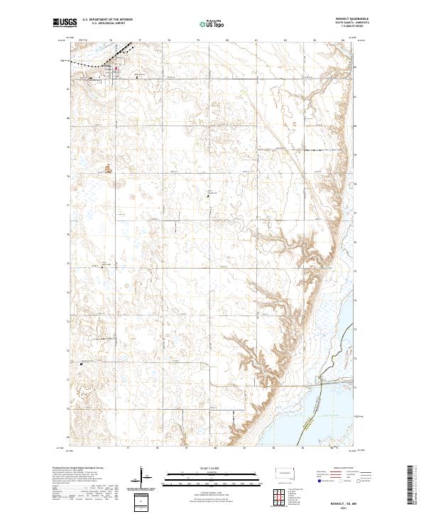 2021 Rosholt2021 Print · USGSNortheastern Roberts County comes into focus in this recent survey of the prairie landscape near the Minnesota border. Genealogists and local historians can trace the positions of numerous rural landmarks, including Bethania Cem, Saint Joseph Cem, and the waters of Lake Traverse.
 - 2021 Map of Big Stone Lake SE, 2021 Print
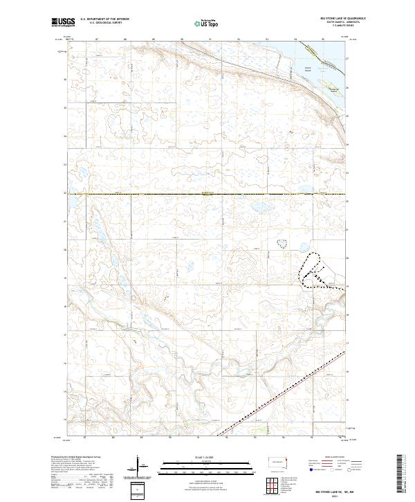 2021 Big Stone Lake SE2021 Print · USGSThe South Dakota and Minnesota border comes alive in the early 2020s where the Whetstone River flows toward Big Stone Lake. Trace the local landscape through landmarks like Goose Island and the rural network of Frevert Farm Rd.
 - 2021 Map of Garretson East, 2021 Print
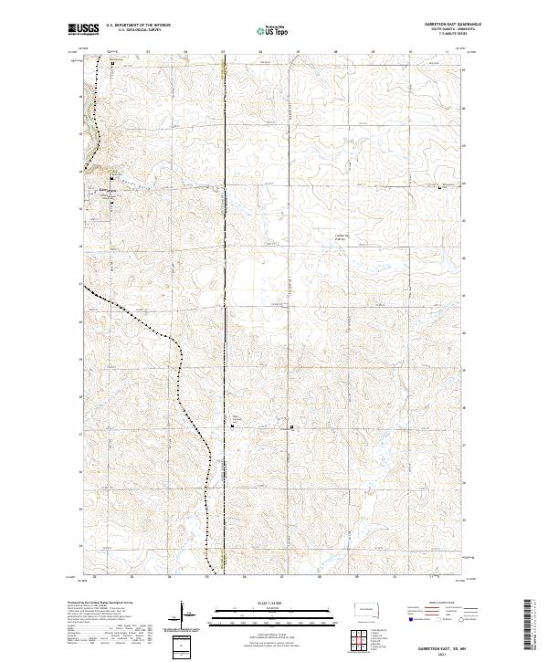 2021 Garretson East2021 Print · USGSGarretson and the rolling highlands of the South Dakota-Minnesota border are captured here in the early twenty-first century. Genealogists can trace family plots at Zion Lutheran Church Cem or Sherman Cem near the landmarks of Devils Gulch.
 - 2021 Map of Valley Springs, 2021 Print
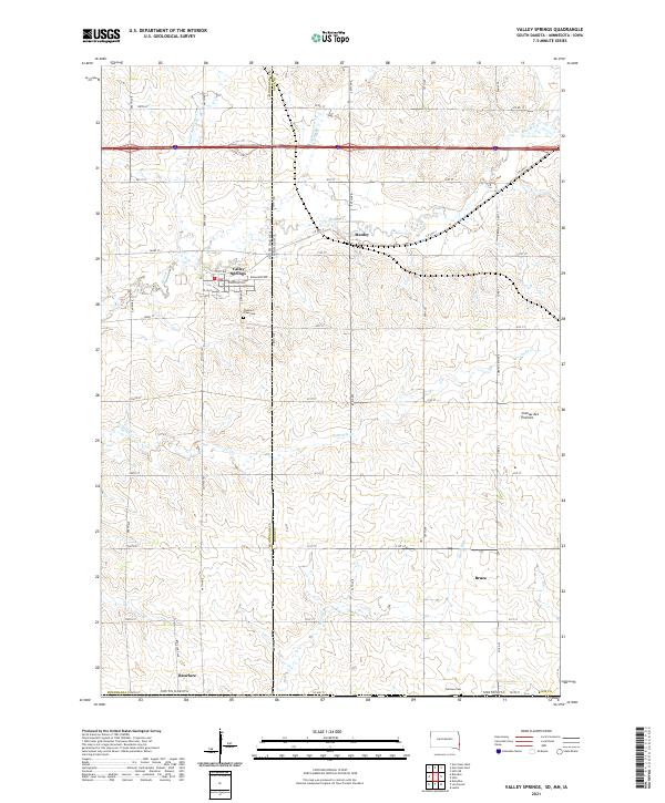 2021 Valley Springs2021 Print · USGSThe tri-state border region of South Dakota and Minnesota comes into focus in this contemporary survey. Genealogists and local historians can trace the town layouts of Valley Springs and Manley, or locate family sites near Pleasant View Cemetery and Blood Run.
Showing maps 1-25 of 1,779
Top cities of Minnesota
- Minneapolis historical maps
- Saint Paul historical maps
- Rochester historical maps
- Duluth historical maps
- Bloomington historical maps
- Brooklyn Park historical maps
See more
Top counties of Minnesota
- Hennepin County historical maps
- Ramsey County historical maps
- Dakota County historical maps
- Washington County historical maps
- Saint Louis County historical maps
- Stearns County historical maps
See more
Frequently asked questions
- What are the different types of historical maps available for Minnesota?
- What is the oldest map of Minnesota?
- Where can I purchase historical maps of Minnesota for my home or office?
- Where can I download high-res historical maps of Minnesota?
- Are there historical topographic maps available for Minnesota?
- Is there historical aerial imagery available for Minnesota?
- Where are historical maps of Minnesota sourced from?