2010s Maps of Koochiching County, Minnesota
Explore 348 historic maps of Koochiching County from the 2010s. These maps offer a rare glimpse into what life looked like during the 2010s — showing old roads, neighborhoods, homes, and landmarks that have changed or disappeared over time.
Whether you're researching your family's past, planning a metal detecting trip, or studying how Koochiching County's landscape evolved across the 2010s, these high-resolution maps are a powerful tool for exploring the history of this region.
- Focus on a specific era: All maps on this page are from the 2010s, giving you a focused view of this time period.
- See what’s changed: Compare century-old streets, trails, and buildings to today's modern landscape using overlays and satellite layers.
- Research with precision: Use these maps for genealogy, historical research, land use analysis, or educational projects.
- View, download, or print: Maps are fully viewable online in high resolution, and can be downloaded or printed for your own records.
Start exploring Koochiching County's history through authentic maps from the 2010s. This is your window into the past.
Koochiching County, MN maps
(348)- 2010 Map of Mizpah, 2010 Print
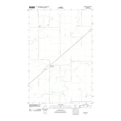 2010 Mizpah2010 Print · USGSKoochiching County at the start of the 2010s reveals a landscape defined by timber-country roads and the Blue Ox Trl corridor. Genealogists and local historians can pinpoint Mizpah Cemetery, the Mizpah Post Office, and the small community at Forest Grove.
 - 2010 Map of Northome North, 2010 Print
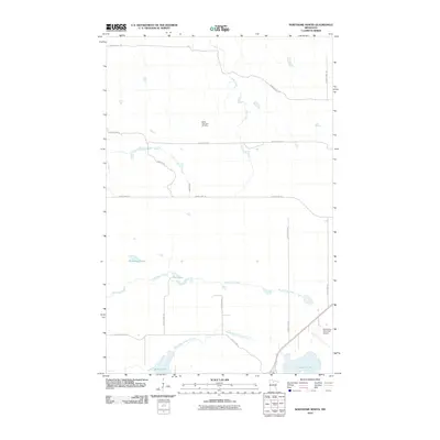 2010 Northome North2010 Print · USGSIn the northern woods of Minnesota during the early 2000s, this area north of Northome shows a landscape shaped by water and recreation. Genealogists and historians can trace local landmarks like the Battle Lake Hills Ski Area and the Northome Municipal Airport alongside the waters of Bartlett Lake.
 - 2010 Map of Funkley, 2010 Print
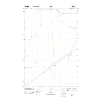 2010 Funkley2010 Print · USGSBeltrami County's northern woods and waterways appear here during the early twenty-first century. Researchers can trace the path of the Blue Ox Trl through small outposts like Funkley and Houpt or follow the winding North Cormorant River.
 - 2010 Map of Kelliher, 2010 Print
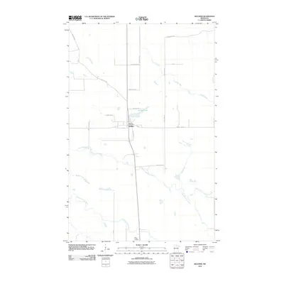 2010 Kelliher2010 Print · USGSKelliher and its surrounding wetlands are captured here in the early twenty-first century as a rural community defined by its waterways. Genealogists and local historians can locate the Saint Joseph Cemetery and the Kelliher Post Office or trace the winding South Branch Battle River.
 - 2010 Map of Mizpah NE, 2010 Print
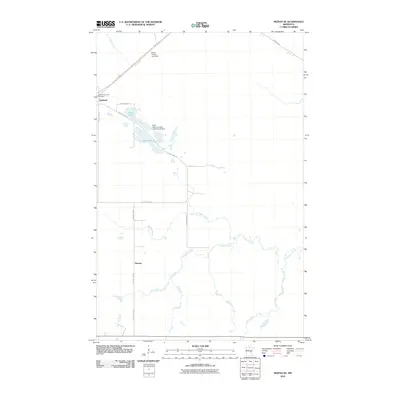 2010 Mizpah NE2010 Print · USGSKoochiching County near the turn of the decade is a landscape of quiet northern settlements and managed waterways. Researchers can locate the Oak Hill-Gemmell Cemetery and trace the drainage of Pancake Creek and Caldwell Brook.
 - 2010 Map of Wildwood, 2010 Print
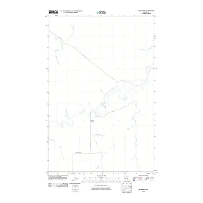 2010 Wildwood2010 Print · USGSWildwood, Minnesota, remains a secluded northern settlement at the start of the twenty-first century, defined by its remote woods and wandering waterways. Researchers can trace local landmarks like Wildwood Cemetery or follow the paths of Dinner Creek and Caldwell Brook.
 - 2010 Map of Silverdale, 2010 Print
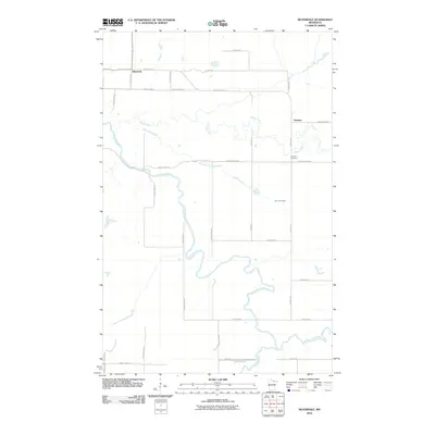 2010 Silverdale2010 Print · USGSSilverdale and the surrounding Koochiching County wetlands are documented here in the early twenty-first century. Researchers can trace local lineages through the Greaney Cemetery and family-named landmarks like Sethers Rd and Halvorson Rd.
 - 2010 Map of Wildwood NE, 2010 Print
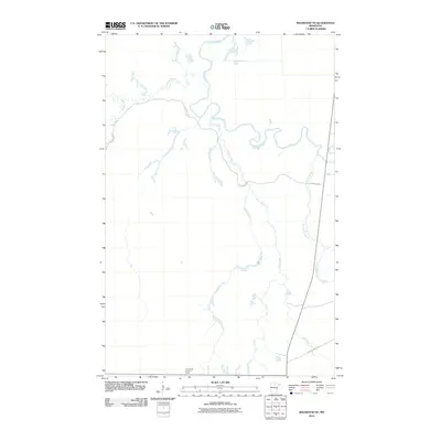 2010 Wildwood NE2010 Print · USGSNorthern Minnesota's timberlands are centered around the winding Big Fork River during this 2010 survey. Trace remote forest routes like the Cutfoot Sioux Trl and locate the historic Plum Creek Lookout Tower.
 - 2010 Map of Craigville, 2010 Print
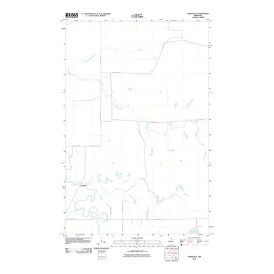 2010 Craigville2010 Print · USGSThe riverfront settlement of Craigville and the winding Big Fork River define this northern Minnesota landscape in the early 2000s. Researchers can trace rural transit routes like the Deer River Line and find landmarks such as Little American Falls.
 - 2010 Map of Deer Lake NW, 2010 Print
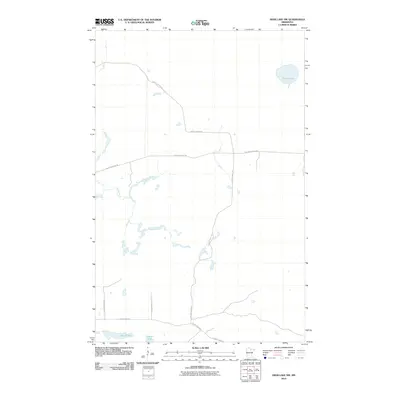 2010 Deer Lake NW2010 Print · USGSItasca County’s timber and lake country is captured here during the early twenty-first century as a network of forest roads and trails. Genealogists and outdoorsmen can trace routes like North Lofgrin Rd and locate secluded water such as Myrtle Lake.
 - 2010 Map of Rauch, 2010 Print
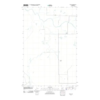 2010 Rauch2010 Print · USGSKoochiching County at the start of the 2010s reveals a quiet landscape defined by the winding Little Fork River. Researchers can trace local burial sites at Silverdale Cemetery and Saints Peter and Paul Cemetery or locate the rural junction at Rauch.
 - 2010 Map of Nett Lake River West, 2010 Print
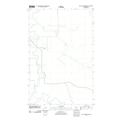 2010 Nett Lake River West2010 Print · USGSThe Koochiching County river valleys are documented here in the early twenty-first century as they wind through northern Minnesota. Researchers can trace the banks of the Little Fork River to find Deadmans Rapids and the Dentaybow Cemetery.
 - 2010 Map of Ridge NW, 2010 Print
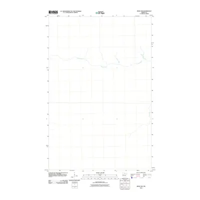 2010 Ridge NW2010 Print · USGSNorthern Minnesota’s wilderness remains the focus in this early twenty-first-century survey of the backcountry. Researchers can trace the winding course of the Sturgeon River and the isolated path of Hay Creek through this quiet landscape.
 - 2010 Map of Manitou, 2010 Print
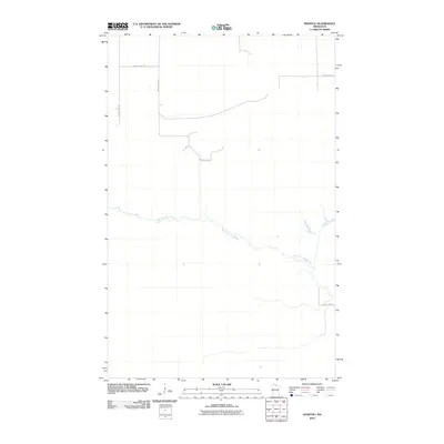 2010 Manitou2010 Print · USGSKoochiching County at the start of the twenty-first century reveals a landscape shaped by the West Fork Black River and its rural road network. Genealogists and local historians can trace the paths of County Hwy-84 and County Hwy-149 through this northern territory.
 - 2010 Map of Cranberry Bay, 2010 Print
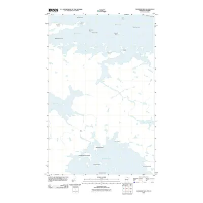 2010 Cranberry Bay2010 Print · USGSThe international borderlands of Northern Minnesota and Ontario appear here in great detail at the start of the 2010s. Trace old navigation and portage routes between Rainy Lake and Kabetogama Lake, passing through Gold Portage and Cemetery Island.
 - 2010 Map of Lindford SE, 2010 Print
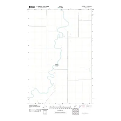 2010 Lindford SE2010 Print · USGSNorthern Minnesota's river country is captured here in the early twenty-first century, showing a remote landscape shaped by the Big-Fork-River. Researchers can locate Hendrickson Landing and trace rural routes like Radar Rd and County Hwy-77.
 - 2010 Map of Ericsburg, 2010 Print
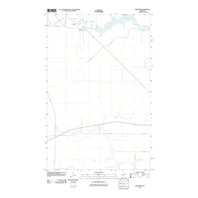 2010 Ericsburg2010 Print · USGSKoochiching County at the start of the decade reveals a landscape shaped by the winding Rat Root River and the small settlement of Ericsburg. Genealogists and local historians can trace family sites near Ericsburg Cemetery or follow rural routes like Arrowhead Trl.
 - 2010 Map of Giant Pine Campground, 2010 Print
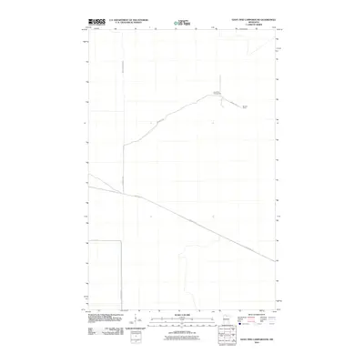 2010 Giant Pine Campground2010 Print · USGSKoochiching County at the start of the 2010s reveals a wilderness landscape managed for timber and recreation. Researchers can trace forest access via Mannila Rd and locate the historic Mannila Camp near the South Fork Black River.
 - 2010 Map of Ericsburg SW, 2010 Print
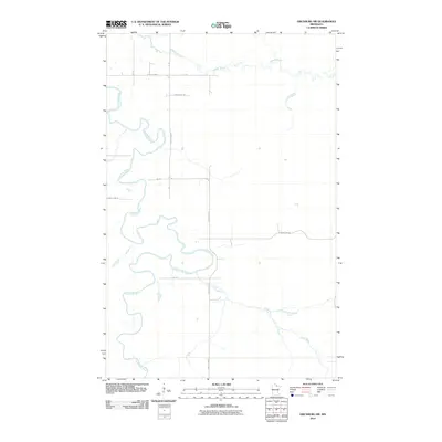 2010 Ericsburg SW2010 Print · USGSIn the early twenty-first century, the Koochiching County wilderness remains defined by its winding waterways and a sparse network of forest roads. Trace the serpentine path of the Little Fork River as it passes junctions like County Hwy-72 and County Hwy-80.
 - 2010 Map of Norman Lake NE, 2010 Print
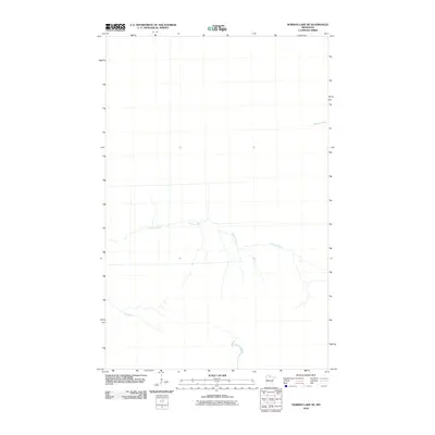 2010 Norman Lake NE2010 Print · USGSKoochiching County remains a wild landscape of shifting waterways and forest in the early twenty-first century. Researchers can trace the meandering paths of the Sturgeon River, Tamarac River, and Lost River as they thread through this remote territory.
 - 2010 Map of Ericsburg SE, 2010 Print
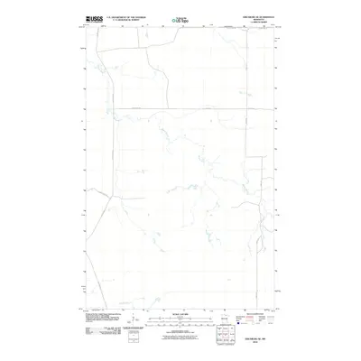 2010 Ericsburg SE2010 Print · USGSNorth of the Big Fork River in the early twenty-first century, this area of Koochiching County is defined by its winding waterways and rural road network. Genealogists and local historians can trace family-named routes such as Boyum Rd and Galleger Rd alongside the course of Beaver Brook.
 - 2010 Map of Birchdale SE, 2010 Print
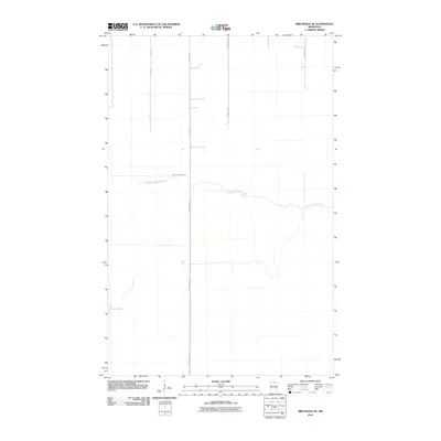 2010 Birchdale SE2010 Print · USGSKoochiching County remains a landscape of remote waterways and straight timber roads in the early twenty-first century. Researchers can trace the winding course of the West Fork Black River or locate isolated water bodies like Lost Lake.
 - 2010 Map of The Pines, 2010 Print
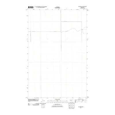 2010 The Pines2010 Print · USGSKoochiching County at the start of the decade shows a remote landscape defined by large-scale land divisions and the settlement at The Pines. Researchers can trace the local road network and boundary lines including Indian Pines Rd and County Hwy-82.
 - 2010 Map of Ray SW, 2010 Print
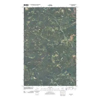 2010 Ray SW2010 Print · USGSNorthern Minnesota's wetland landscape is captured here in the early twenty-first century, featuring the winding Rat Root River. Researchers can trace local travel and land access via rural routes like Boyum Rd, Budris Rd, and Biondich Rd.
 - 2010 Map of International Falls, 2010 Print
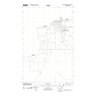 2010 International Falls2010 Print · USGSThe northern border of Minnesota comes to life in this survey of the riverfront and transit hubs just after the millennium. Researchers can trace the layout of South International Falls or locate Forest Hill Cemetery and Nakoda.
Showing maps 1-25 of 348
Top cities of Koochiching County
- International Falls historical maps
- Littlefork historical maps
- Big Falls historical maps
- Northome historical maps
- Ranier historical maps
- Mizpah historical maps
Frequently asked questions
- What are the different types of historical maps available for Koochiching County?
- What is the oldest map of Koochiching County?
- Where can I purchase historical maps of Koochiching County for my home or office?
- Where can I download high-res historical maps of Koochiching County?
- Are there historical topographic maps available for Koochiching County?
- Is there historical aerial imagery available for Koochiching County?
- Where are historical maps of Koochiching County sourced from?