2000s (21st Century) Maps of Cedar County, Missouri
Explore 68 historic maps of Cedar County from the 2000s (21st Century). These maps offer a rare glimpse into what life looked like during the 2000s — showing old roads, neighborhoods, homes, and landmarks that have changed or disappeared over time.
Whether you're researching your family's past, planning a metal detecting trip, or studying how Cedar County's landscape evolved across the 2000s, these high-resolution maps are a powerful tool for exploring the history of this region.
- Focus on a specific era: All maps on this page are from the 2000s, giving you a focused view of this time period.
- See what’s changed: Compare century-old streets, trails, and buildings to today's modern landscape using overlays and satellite layers.
- Research with precision: Use these maps for genealogy, historical research, land use analysis, or educational projects.
- View, download, or print: Maps are fully viewable online in high resolution, and can be downloaded or printed for your own records.
Start exploring Cedar County's history through authentic maps from the 2000s. This is your window into the past.
Cedar County, MO maps
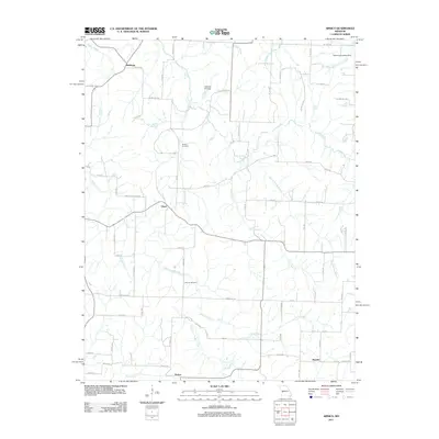
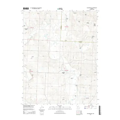
(68)- 2011 Map of Bearcreek, 2011 Print
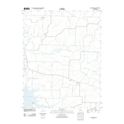 2011 Bearcreek2011 Print · USGSCovers Cedar County, including Bearcreek, Polk County, and other nearby areas
 - 2011 Map of Cedarville, 2011 Print
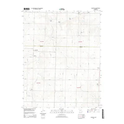
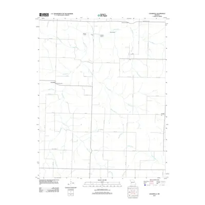 2011 Cedarville2011 Print · USGSCovers Cedar County, including Arcola, Cedarville, and other nearby areas
 - 2011 Map of Stockton, 2011 Print
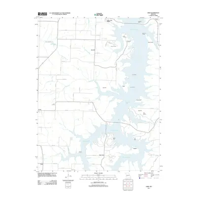
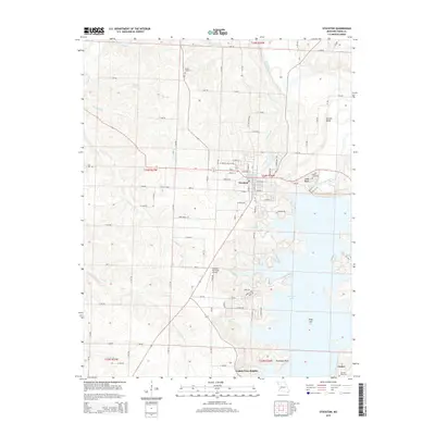
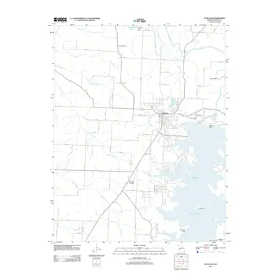 2011 Stockton2011 Print · USGSCovers Cedar County, including Stockton, Umber View Heights, and other nearby areas
 - 2011 Map of Roscoe, 2011 Print
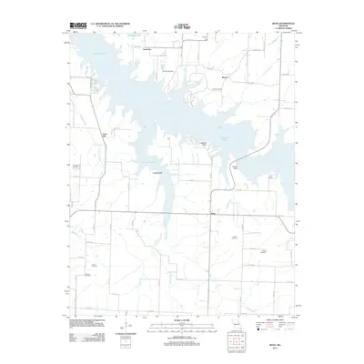
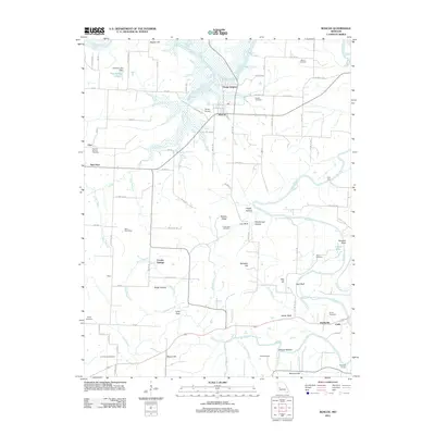 2011 Roscoe2011 Print · USGSCovers Cedar County, including Roscoe, Oyer, and other nearby areas
 - 2011 Map of Arnica, 2011 Print
 2011 Arnica2011 Print · USGSCovers Cedar County, including Arnica, Claud, and other nearby areas
 - 2011 Map of Bona, 2011 Print
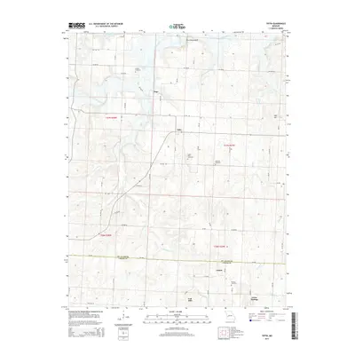
 2011 Bona2011 Print · USGSCovers Cedar County, including Bona, Cane Hill, and other nearby areas
 - 2011 Map of Fair Play, 2011 Print
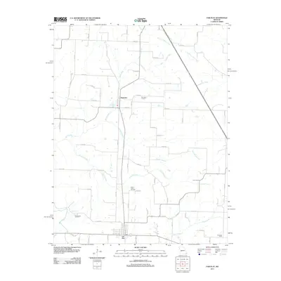 2011 Fair Play2011 Print · USGSCovers Cedar County, including Fair Play, Dunnegan, and other nearby areas
 - 2011 Map of Filley, 2011 Print
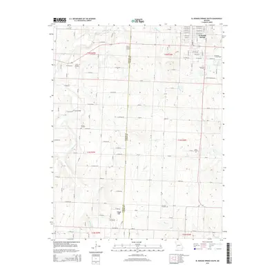
 2011 Filley2011 Print · USGSCovers Cedar County, including El Dorado Springs, Pacetown, and other nearby areas
 - 2011 Map of Caplinger Mills, 2011 Print
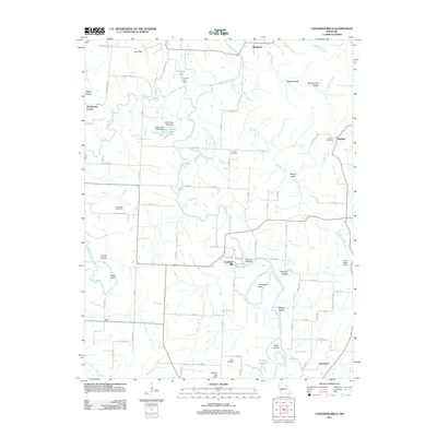 2011 Caplinger Mills2011 Print · USGSCovers Cedar County, including Rookins, Blackjack, and other nearby areas
 - 2011 Map of Wagoner, 2011 Print
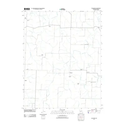 2011 Wagoner2011 Print · USGSCovers Cedar County, including Tingley, Wagoner, and other nearby areas
 - 2011 Map of Tiffin, 2011 Print
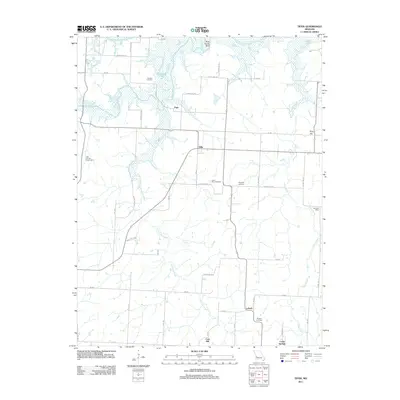 2011 Tiffin2011 Print · USGSCovers Cedar County, including Tiffin, Lebeck, and other nearby areas
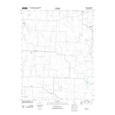
 - 2011 Map of Aldrich, 2011 Print
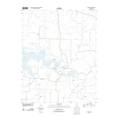 2011 Aldrich2011 Print · USGSCovers Cedar County, including Aldrich, Aldrich, and other nearby areas
 - 2011 Map of El Dorado Springs South, 2011 Print
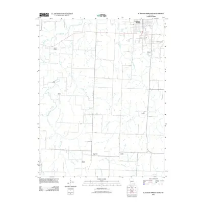 2011 El Dorado Springs South2011 Print · USGSCovers Cedar County, including El Dorado Springs, Virgil City, and other nearby areas
 - 2011 Map of Montevallo, 2011 Print
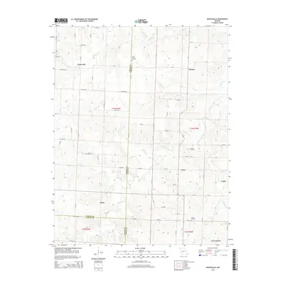
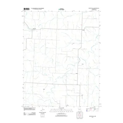 2011 Montevallo2011 Print · USGSCovers Cedar County, including Montevallo, Jerico Springs, and other nearby areas
 - 2011 Map of Jerico Springs, 2011 Print
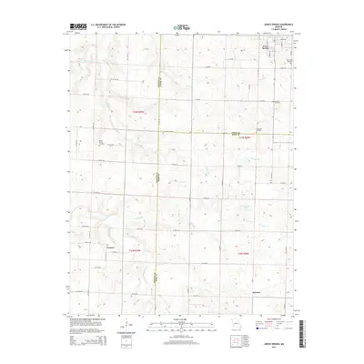
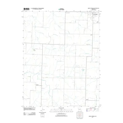 2011 Jerico Springs2011 Print · USGSCovers Cedar County, including Newport, Jerico Springs, and other nearby areas
 - 2011 Map of El Dorado Springs North, 2011 Print
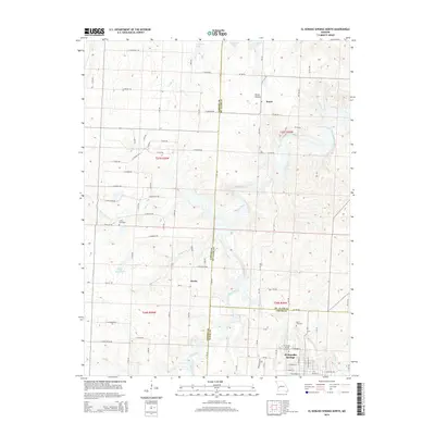
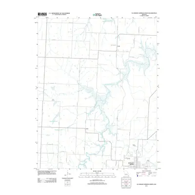 2011 El Dorado Springs North2011 Print · USGSCovers Cedar County, including El Dorado Springs, Donia, and other nearby areas
 - 2011 Map of Crisp, 2011 Print
 2011 Crisp2011 Print · USGSCovers Cedar County, including Umber View Heights, Arcola, and other nearby areas
 - 2015 Map of El Dorado Springs South, 2015 Print
 2015 El Dorado Springs South2015 Print · USGSCovers Cedar County, including El Dorado Springs, Virgil City, and other nearby areas
 - 2015 Map of Jerico Springs, 2015 Print
 2015 Jerico Springs2015 Print · USGSCovers Cedar County, including Newport, Jerico Springs, and other nearby areas
 - 2015 Map of El Dorado Springs North, 2015 Print
 2015 El Dorado Springs North2015 Print · USGSCovers Cedar County, including El Dorado Springs, Donia, and other nearby areas
 - 2015 Map of Montevallo, 2015 Print
 2015 Montevallo2015 Print · USGSCovers Cedar County, including Montevallo, Jerico Springs, and other nearby areas
 - 2015 Map of Tiffin, 2015 Print
 2015 Tiffin2015 Print · USGSCovers Cedar County, including Tiffin, Lebeck, and other nearby areas
 - 2015 Map of Cedarville, 2015 Print
 2015 Cedarville2015 Print · USGSCovers Cedar County, including Arcola, Cedarville, and other nearby areas
 - 2015 Map of Stockton, 2015 Print
 2015 Stockton2015 Print · USGSCovers Cedar County, including Stockton, Umber View Heights, and other nearby areas
 - 2015 Map of Caplinger Mills, 2015 Print
 2015 Caplinger Mills2015 Print · USGSCovers Cedar County, including Rookins, Blackjack, and other nearby areas
Showing maps 1-25 of 68
Top cities of Cedar County
- El Dorado Springs historical maps
- Stockton historical maps
- Jerico Springs historical maps
- Umber View Heights historical maps
Frequently asked questions
- What are the different types of historical maps available for Cedar County?
- What is the oldest map of Cedar County?
- Where can I purchase historical maps of Cedar County for my home or office?
- Where can I download high-res historical maps of Cedar County?
- Are there historical topographic maps available for Cedar County?
- Is there historical aerial imagery available for Cedar County?
- Where are historical maps of Cedar County sourced from?