2010s Maps of Hill County, Montana
Explore 228 historic maps of Hill County from the 2010s. These maps offer a rare glimpse into what life looked like during the 2010s — showing old roads, neighborhoods, homes, and landmarks that have changed or disappeared over time.
Whether you're researching your family's past, planning a metal detecting trip, or studying how Hill County's landscape evolved across the 2010s, these high-resolution maps are a powerful tool for exploring the history of this region.
- Focus on a specific era: All maps on this page are from the 2010s, giving you a focused view of this time period.
- See what’s changed: Compare century-old streets, trails, and buildings to today's modern landscape using overlays and satellite layers.
- Research with precision: Use these maps for genealogy, historical research, land use analysis, or educational projects.
- View, download, or print: Maps are fully viewable online in high resolution, and can be downloaded or printed for your own records.
Start exploring Hill County's history through authentic maps from the 2010s. This is your window into the past.
Hill County, MT maps
(228)- 2011 Map of Rudyard NE, 2011 Print
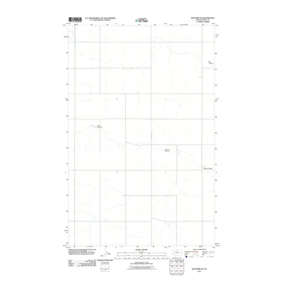 2011 Rudyard NE2011 Print · USGSHill County in the early twenty-first century reveals a landscape defined by ranching needs and deep coulee drainages. Genealogists and land researchers can trace the reach of Rudyard Rd or locate water features like Sandy Sage Dam and Anderson Lyle Dam.
 - 2011 Map of Laredo, 2011 Print
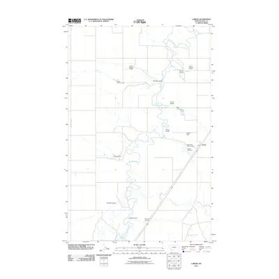 2011 Laredo2011 Print · USGSHill County, Montana, at the start of the 2010s reveals a ranching landscape defined by its essential water management. Genealogists and local historians can trace family-named water works like Daniel Number-1 Dam and Boyer Dam near the settlement of Laredo.
 - 2011 Map of Quigley Coulee, 2011 Print
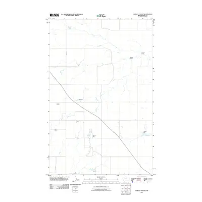 2011 Quigley Coulee2011 Print · USGSHill County in the early twenty-first century remains a landscape of remote ranching and essential water management. Genealogists and historians can trace local landmarks like Grainbelt Cemetery and family-named features such as Lohman Reservoir and Velk Dam.
 - 2011 Map of Dutch Henry Coulee, 2011 Print
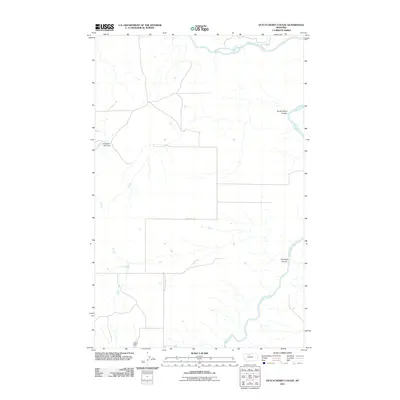 2011 Dutch Henry Coulee2011 Print · USGSThe Marias River basin in Chouteau County is captured here in the early twenty-first century, showing a remote landscape shaped by water and wind. Researchers can trace land use patterns near Romain F Pond Dam or follow the paths of Dutch Henry Coulee and Fourmile Coulee.
 - 2011 Map of Chester NE, 2011 Print
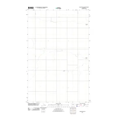 2011 Chester NE2011 Print · USGSHill County at the start of the 2010s shows a landscape dominated by open prairie and remote drainage basins. Genealogists and historians can trace the paths of Fourmile Coulee and O'Brien Coulee, or locate local landmarks like James Dam.
 - 2011 Map of Havre NE, 2011 Print
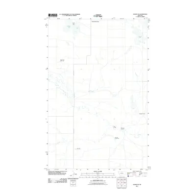 2011 Havre NE2011 Print · USGSHill County, Montana, is documented in the early twenty-first century, revealing a landscape of prairie water management and communal settlement. Trace the local topography through the intricate drainages of Badger Coulee and uniquely named sites like Mistress Leader Dam.
 - 2011 Map of Kremlin, 2011 Print
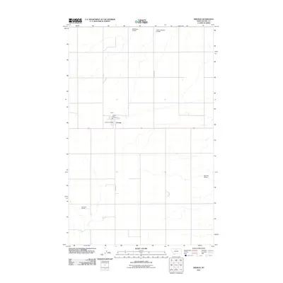 2011 Kremlin2011 Print · USGSKremlin and the surrounding Hill County plains are captured here in the early twenty-first century, showcasing a quintessential Montana High Line community. Genealogists and local historians can trace the town core around the Kremlin Post Office or follow the deep draws of Wild Rose Coulee and Sprinkle Coulee.
 - 2011 Map of Ninemile Coulee West, 2011 Print
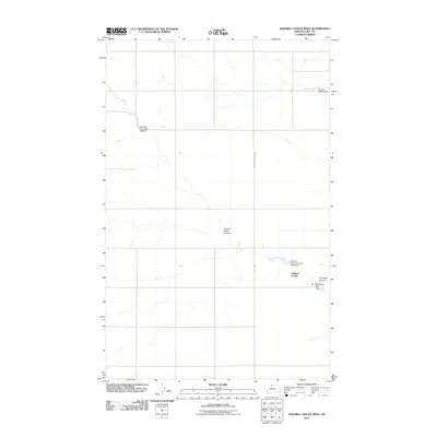 2011 Ninemile Coulee West2011 Print · USGSHill County at the start of the twenty-first century reveals a landscape shaped by communal agriculture and water management. Trace the infrastructure of the Gildford Colony and find family-named landmarks like Tommy Allen Coulee and the George Welch Dam.
 - 2011 Map of Gildford, 2011 Print
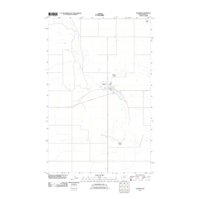 2011 Gildford2011 Print · USGSGildford and the surrounding Hill County plains are captured here in the early twenty-first century as agricultural life follows the winding path of Sage Creek. Researchers can locate family sites at the Gildford Hill County Cemetery or trace landmarks like the Gildford Post Office.
 - 2011 Map of Lost River NE, 2011 Print
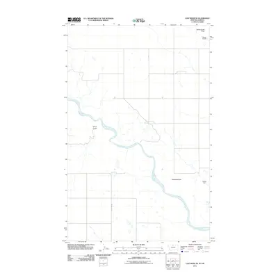 2011 Lost River NE2011 Print · USGSThe northern Montana plains near the Alberta border are shown in this modern survey of Hill County’s ranching heartland. Researchers can trace the winding Milk River and locate remote landmarks like Rattlesnake Butte and Keeling Dam.
 - 2011 Map of Cowan Reservoir, 2011 Print
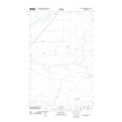 2011 Cowan Reservoir2011 Print · USGSHill County at the start of the 2010s shows a landscape engineered for water security across the northern Montana prairie. Researchers can trace rural road networks and numerous small-scale water projects like Dry Fork Reservoir, Ugly Dam, and Didache Dam.
 - 2011 Map of Goldstone, 2011 Print
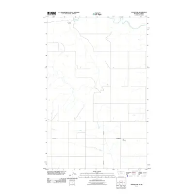 2011 Goldstone2011 Print · USGSGoldstone and the northern Montana plains are documented here in the early twenty-first century as the landscape maintains its traditional agricultural layout. Researchers can locate family sites near Saint Wenceslaus Cemetery or trace the northern path of the Milk River.
 - 2011 Map of Lohman, 2011 Print
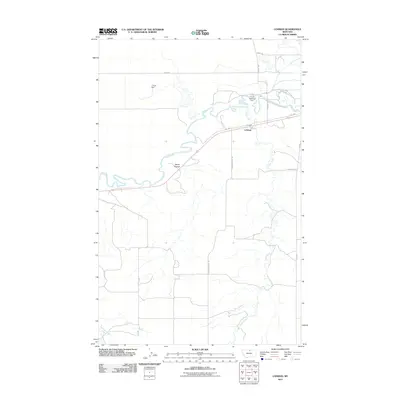 2011 Lohman2011 Print · USGSLohman and the northern Montana plains are documented here in the early twenty-first century as the landscape transitioned through modern ranching and water management. Researchers can trace the winding Milk River and locate landmarks like the Fort Belknap Dam and L Krott Dam.
 - 2011 Map of Rudyard, 2011 Print
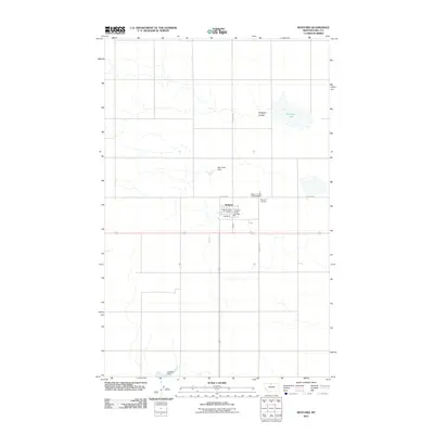 2011 Rudyard2011 Print · USGSNorthern Montana's agricultural High Line comes into focus in this recent survey of Hill County. Genealogists and local historians can trace the townsite of Rudyard, locating the Rudyard Post Office, Rudyard Cemetery, and the shoreline of Hingham Lake.
 - 2011 Map of Inverness, 2011 Print
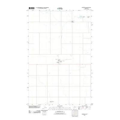 2011 Inverness2011 Print · USGSInverness and its surrounding Hi-Line plains are documented in this early twenty-first-century survey of Hill County. Genealogists and researchers can trace local landmarks like the Inverness Post Office and water features such as Prescott Reservoir.
 - 2011 Map of Rocky Coulee SW, 2011 Print
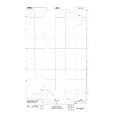 2011 Rocky Coulee SW2011 Print · USGSHill County's high plains meet the Marias River in the early twenty-first century, revealing a landscape shaped by water management and vast open range. Researchers can trace rural infrastructure through Samantha Dam and major drainages like Eightmile Coulee.
 - 2011 Map of Goldstone SW, 2011 Print
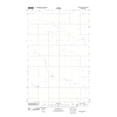 2011 Goldstone SW2011 Print · USGSHill County at the turn of the decade is defined by its wide-open geography and strategic water management. Genealogists and historians can locate specific landmarks like Ostrich Egg Dam, Gritty Milk Dam, and the path of Russell Creek.
 - 2011 Map of Bowery Peak, 2011 Print
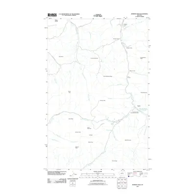 2011 Bowery Peak2011 Print · USGSHill County’s northern Bear Paw Mountains are shown in detail during the early 21st century, a landscape of high ridges and vital headwaters. Researchers can trace the local infrastructure from Parker School to the Silver King Mine and the Bear Paw Ski Bowl.
 - 2011 Map of Big John Butte, 2011 Print
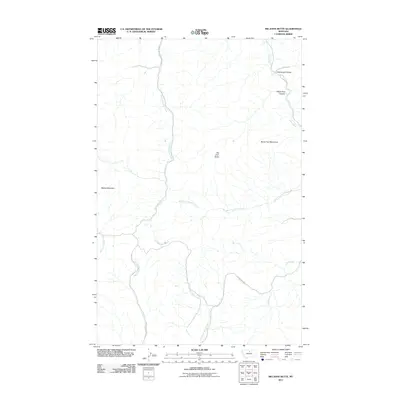 2011 Big John Butte2011 Print · USGSHill County is captured here in the early twenty-first century, showcasing the northern reach of the high plains mountains. Local historians can trace the paths of Little Boxelder Creek Rd and Clear Creek Rd past Big John Butte and Moses Mountain.
 - 2011 Map of Havre SE, 2011 Print
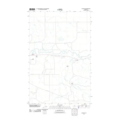 2011 Havre SE2011 Print · USGSHill County at the start of the 2010s shows a landscape of deep coulees and winding northern waterways. Researchers can trace rural property access and landmarks like Havre Rural Fire Dist, Drunk Rd, and the meandering Milk River.
 - 2011 Map of Bobcat Coulee NE, 2011 Print
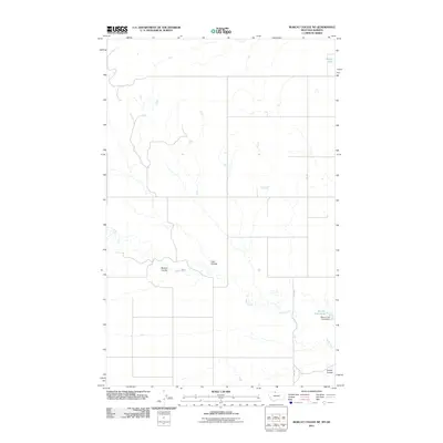 2011 Bobcat Coulee NE2011 Print · USGSHill County at the Montana-Alberta border is captured here in the early twenty-first century, showing a remote landscape of deep drainage coulees. Researchers can trace land features and water improvements like Wolery Fish Pond, Lost Coulee, and Silver Lake.
 - 2011 Map of Box Elder, 2011 Print
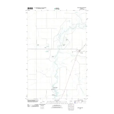 2011 Box Elder2011 Print · USGSBig Sandy Creek wind through this Chouteau County landscape during the early twenty-first century. Researchers can trace the water management systems of the high plains, from the Rocky Crossing Reservoir Dam to landmarks in Box Elder.
 - 2011 Map of Herron Park, 2011 Print
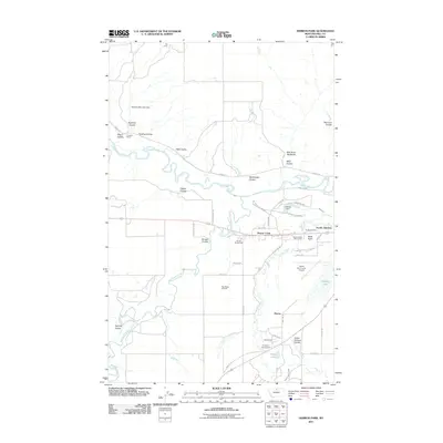 2011 Herron Park2011 Print · USGSHill County ranchlands and river breaks come into focus in this contemporary Montana survey. Genealogists and local historians can trace the developments around Beaver Creek, Pacific Junction, and the Tiger Ridge Gas Field as they appeared a decade ago.
 - 2011 Map of Creedman Coulee West, 2011 Print
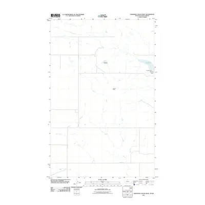 2011 Creedman Coulee West2011 Print · USGSHill County's high plains near the Canadian border are revealed in the early twenty-first century as a landscape of remote water management and open range. Trace the infrastructure of the northern plains through Creedman Reservoir, the distinctive Signal Butte, and Sassy Top Deck Dam.
 - 2011 Map of Saint Johns, 2011 Print
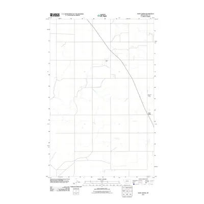 2011 Saint Johns2011 Print · USGSMontana's high plains near the turn of the decade are captured here, centered on the rural settlement of Saint Johns. Genealogists and local historians can locate the Saint Johns Catholic Cemetery and trace water resources like Sigurd Dam across the landscape.
Showing maps 1-25 of 228
Top cities of Hill County
Frequently asked questions
- What are the different types of historical maps available for Hill County?
- What is the oldest map of Hill County?
- Where can I purchase historical maps of Hill County for my home or office?
- Where can I download high-res historical maps of Hill County?
- Are there historical topographic maps available for Hill County?
- Is there historical aerial imagery available for Hill County?
- Where are historical maps of Hill County sourced from?