2020s Maps of Hill County, Montana
Explore 154 historic maps of Hill County from the 2020s. These maps offer a rare glimpse into what life looked like during the 2020s — showing old roads, neighborhoods, homes, and landmarks that have changed or disappeared over time.
Whether you're researching your family's past, planning a metal detecting trip, or studying how Hill County's landscape evolved across the 2020s, these high-resolution maps are a powerful tool for exploring the history of this region.
- Focus on a specific era: All maps on this page are from the 2020s, giving you a focused view of this time period.
- See what’s changed: Compare century-old streets, trails, and buildings to today's modern landscape using overlays and satellite layers.
- Research with precision: Use these maps for genealogy, historical research, land use analysis, or educational projects.
- View, download, or print: Maps are fully viewable online in high resolution, and can be downloaded or printed for your own records.
Start exploring Hill County's history through authentic maps from the 2020s. This is your window into the past.
Hill County, MT maps
(154)- 2020 Map of Creedman Coulee East OE N, 2020 Print
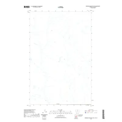 2020 Creedman Coulee East OE N2020 Print · USGSThe northern reaches of Hill County meet the border of Canada in this modern topographical study of the Montana high plains. Map collectors and researchers can trace the intricate network of natural drainages and seasonal wetlands that define this remote borderland.
 - 2020 Map of North Chinook Reservoir NW OE N, 2020 Print
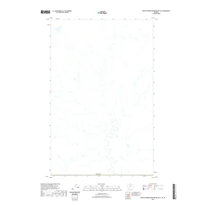 2020 North Chinook Reservoir NW OE N2020 Print · USGSThe international borderlands of Hill County come into focus in this contemporary survey of the high plains. A researcher can trace the precise demarcated boundary of Canada across an open landscape defined by its natural drainage and remote topography.
 - 2020 Map of Lake Thibadeau NE OE N, 2020 Print
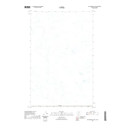 2020 Lake Thibadeau NE OE N2020 Print · USGSThe northern edge of Hill County meets the international border with Canada in this recent survey of the Montana plains. Researchers can trace the complex network of ephemeral wetlands and seasonal drainages that characterize this undeveloped stretch of the Hi-Line.
 - 2020 Map of Herron Park, 2020 Print
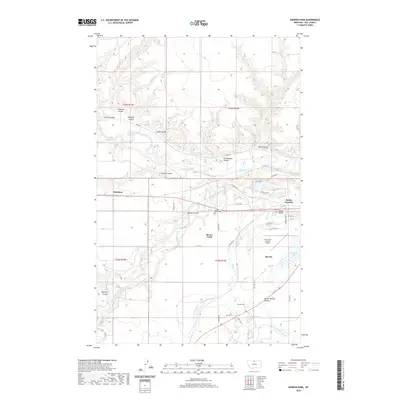 2020 Herron Park2020 Print · USGSHill County, Montana, is documented here in the early twenty-first century as the high plains terrain meets the managed waters of the Milk River. Researchers can trace the layout of Pacific Junction, the Havre City-County Airport, and family-named landmarks like Duncan Coulee.
 - 2020 Map of Fourteenmile Coulee NE, 2020 Print
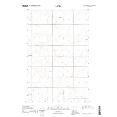 2020 Fourteenmile Coulee NE2020 Print · USGSHill County’s northern plains are defined by the deep drainage systems of the Montana high country in the early twenty-first century. Researchers can trace the path of Fourteenmile Coulee and Faulkners Coulee across a rigid section-line grid.
 - 2020 Map of Sage Lake, 2020 Print
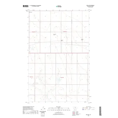 2020 Sage Lake2020 Print · USGSHill County, Montana, is documented in the modern era as a landscape defined by its vital coulee systems and wide-open plains. Researchers can trace the paths of Sage Lake Coulee and Wild Rose Coulee or locate remote transit points like Kremlin High Grade Rd.
 - 2020 Map of McKinnsey Reservoir East, 2020 Print
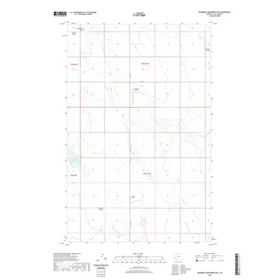 2020 McKinnsey Reservoir East2020 Print · USGSHill County's high plains come into focus in this contemporary survey of the northern Montana ranchlands. Researchers and local historians can trace the course of Tommy Allen Coulee, Schultz Coulee, and the namesake McKinnsey Reservoir.
 - 2020 Map of Ninemile Coulee West, 2020 Print
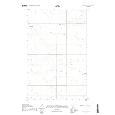 2020 Ninemile Coulee West2020 Print · USGSHill County at the start of the 2020s shows the continued presence of the Gildford Colony and its surrounding agricultural network. Researchers can trace the drainage patterns of Ninemile Coulee and Tommy Allen Coulee along Hwy 449.
 - 2020 Map of Cement Hill, 2020 Print
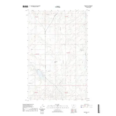 2020 Cement Hill2020 Print · USGSHill County's high plains are meticulously detailed in this recent survey, capturing the rural road network and drainage patterns of north-central Montana. Researchers can trace the paths of Beaver Cr and Bullhook Cr or locate landmarks like Cement Hill.
 - 2020 Map of Havre NW, 2020 Print
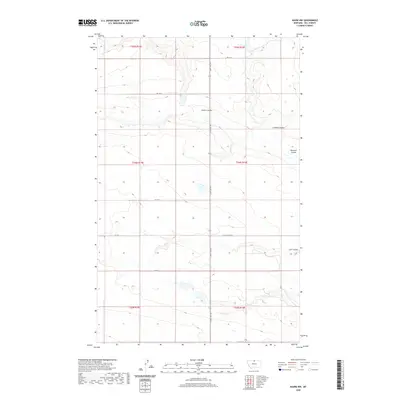 2020 Havre NW2020 Print · USGSHill County's high plains are meticulously detailed in this recent survey of the open country north of Havre. Genealogists and land researchers can trace property boundaries along the section grids of Saint Joe Rd and identify local landmarks like Staton Coulee and Coal Coulee.
 - 2020 Map of Laredo, 2020 Print
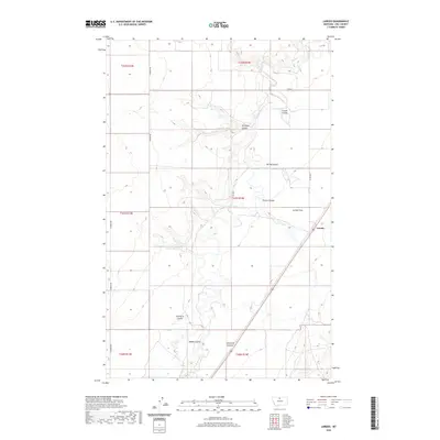 2020 Laredo2020 Print · USGSHill County's high plains are revealed in this 2020 study of the landscape surrounding the settlement of Laredo. Researchers can trace the complex drainage of Big Sandy Creek and locate local landmarks like Prairie Lake and the expansive Laredo Flats.
 - 2020 Map of Fresno Dam, 2020 Print
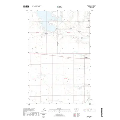 2020 Fresno Dam2020 Print · USGSHill County's high plains and the vital waters of the Milk River are captured here in the contemporary era. Trace the landscape of the reservoir and dam alongside small settlements and family-named landmarks like Eagle Coulee, Kiehns Bay, and Burnham.
 - 2020 Map of Kiehns Coulee, 2020 Print
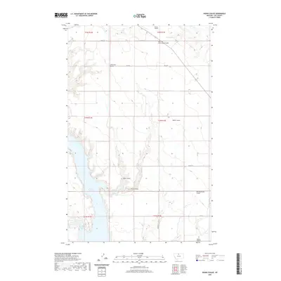 2020 Kiehns Coulee2020 Print · USGSHill County at the turn of the decade shows a quiet agricultural landscape defined by the reach of the Fresno Reservoir. Genealogists and local historians can trace family-named landmarks across the prairie, from Kiehns Coulee to Messerschmidt Coulee.
 - 2020 Map of Box Elder, 2020 Print
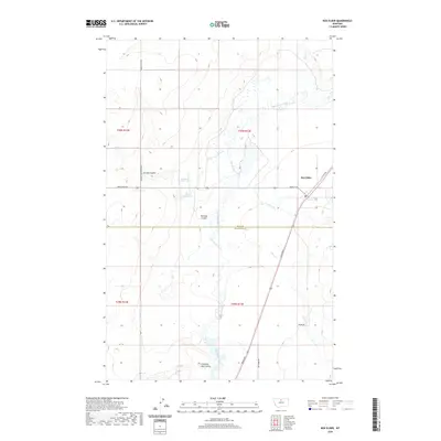 2020 Box Elder2020 Print · USGSThe high plains of North-Central Montana are mapped here in the modern era, centered on the settlement of Box Elder. Researchers can trace the intersections of Broadway and Main St W or locate local landmarks like Schmidt Reservoir and Jerome Coulee.
 - 2020 Map of Bowery Peak, 2020 Print
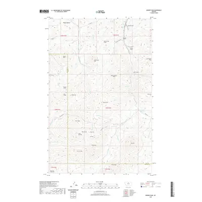 2020 Bowery Peak2020 Print · USGSThe northern reaches of the Bears Paw Mountains are revealed in this modern survey of the Montana high country. Researchers can trace land use near Parker School and locate topographical landmarks like Bowery Peak and Black Canyon.
 - 2020 Map of Cowan Reservoir, 2020 Print
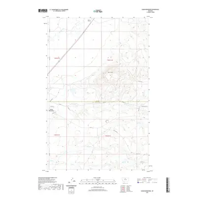 2020 Cowan Reservoir2020 Print · USGSHill and Chouteau counties meet in this 2020 landscape of high plains and vital water catchments. Researchers can trace the rural road network connecting Rocky Boy West to landmarks like Square Butte, Cowan Reservoir, and the winding Big Sandy Creek.
 - 2020 Map of Box Elder NW, 2020 Print
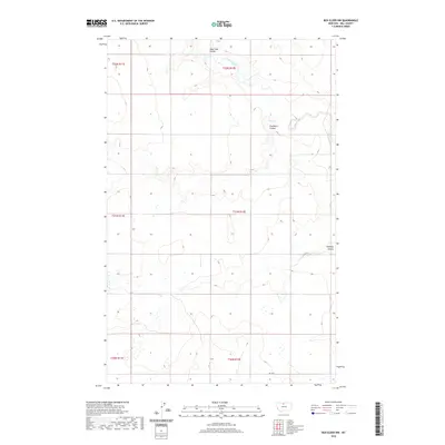 2020 Box Elder NW2020 Print · USGSHill County in the early twenty-first century remains a landscape defined by its deep prairie drainages and traditional ranching boundaries. Researchers can trace the winding course of Sage Creek or locate landmarks like Faulkners Coulee and Halfway Coulee.
 - 2020 Map of Lloyd NW, 2020 Print
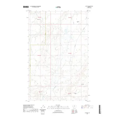 2020 Lloyd NW2020 Print · USGSThe high plains along the Hill and Blaine County border are captured in this recent survey, featuring the prominent slopes of Tiger Ridge. Researchers can trace the winding paths of Clear Cr and Daveys Coulee across several rural township sections.
 - 2020 Map of Centennial Mountain, 2020 Print
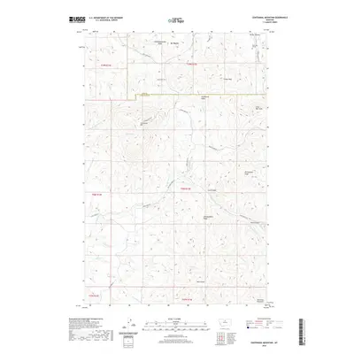 2020 Centennial Mountain2020 Print · USGSThe high ridges of Hill and Chouteau counties are captured here in the 2020s, showing the complex terrain of the northern Bears Paw Mountains. Trace back-country routes like Coal Mine Rd to find landmarks such as Centennial Mtn and the Rocky Boy Gravel works.
 - 2020 Map of Laredo NE, 2020 Print
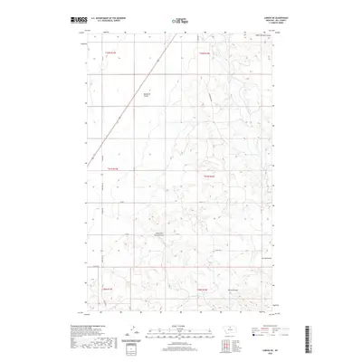 2020 Laredo NE2020 Print · USGSHill County in the early twenty-first century remains defined by its complex coulees and rural road networks. Trace the carved terrain of Indian Woman Coulee and Beaver Cr or locate specific sections along State Hwy 334 and Laredo Rd.
 - 2020 Map of Rudyard NE, 2020 Print
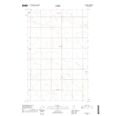 2020 Rudyard NE2020 Print · USGSHill County at the dawn of the 2020s shows a landscape deeply shaped by the agricultural grid and the natural draws of the High Line. Genealogists and researchers can trace land boundaries along Rudyard Rd and the drainage of Big Coulee or O'Brien Coulee.
 - 2020 Map of Rudyard, 2020 Print
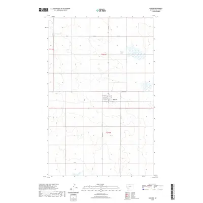 2020 Rudyard2020 Print · USGSIn the modern era of Montana's Hi-Line, Rudyard remains a vital prairie hub defined by its railroad heritage and gridded streets. Researchers can trace local genealogy at Rudyard Cem or follow the landscape down through Hingham Coulee to the shores of Hingham Lake.
 - 2020 Map of Lonesome Lake, 2020 Print
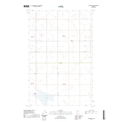 2020 Lonesome Lake2020 Print · USGSThe border of Hill and Chouteau counties comes alive in this contemporary survey of the Montana high prairie. Researchers can trace the drainage of Twelvemile Coulee toward Lonesome Lake and locate rural routes like Box Elder Rd.
 - 2020 Map of Bailey Reservoir, 2020 Print
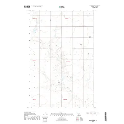 2020 Bailey Reservoir2020 Print · USGSHill County is captured here in the early twenty-first century, showing a high plains landscape defined by its vital water sources and coulees. Genealogists and researchers can trace rural property boundaries and landmarks like Bailey Reservoir, Antelope Coulee, and S Kremlin Rd.
 - 2020 Map of Havre, 2020 Print
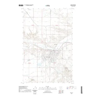 2020 Havre2020 Print · USGSHavre and the Milk River valley are shown here in the contemporary era as a thriving regional hub. Researchers can locate specific family plots at Mount Hope Cem, trace the campus of Montana State University - Northern, and follow the Havre Irrigation Ditch.
Showing maps 1-25 of 154
Top cities of Hill County
Frequently asked questions
- What are the different types of historical maps available for Hill County?
- What is the oldest map of Hill County?
- Where can I purchase historical maps of Hill County for my home or office?
- Where can I download high-res historical maps of Hill County?
- Are there historical topographic maps available for Hill County?
- Is there historical aerial imagery available for Hill County?
- Where are historical maps of Hill County sourced from?