2010s Maps of Park County, Montana
Explore 237 historic maps of Park County from the 2010s. These maps offer a rare glimpse into what life looked like during the 2010s — showing old roads, neighborhoods, homes, and landmarks that have changed or disappeared over time.
Whether you're researching your family's past, planning a metal detecting trip, or studying how Park County's landscape evolved across the 2010s, these high-resolution maps are a powerful tool for exploring the history of this region.
- Focus on a specific era: All maps on this page are from the 2010s, giving you a focused view of this time period.
- See what’s changed: Compare century-old streets, trails, and buildings to today's modern landscape using overlays and satellite layers.
- Research with precision: Use these maps for genealogy, historical research, land use analysis, or educational projects.
- View, download, or print: Maps are fully viewable online in high resolution, and can be downloaded or printed for your own records.
Start exploring Park County's history through authentic maps from the 2010s. This is your window into the past.
Park County, MT maps
(237)- 2011 Map of Big Horn Peak, 2011 Print
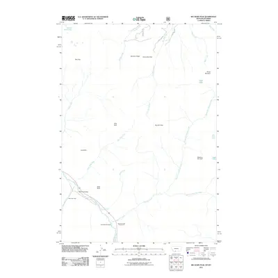 2011 Big Horn Peak2011 Print · USGSHigh mountain terrain and river corridors define this area of Montana and Wyoming during the early twenty-first century. Researchers can locate remote high-country features such as the Apex/Black Butte Mine, the Black Butte Ranch, and Shelf Lake.
 - 2011 Map of The Sentinel, 2011 Print
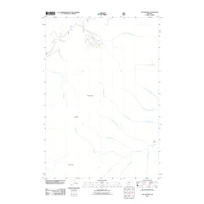 2011 The Sentinel2011 Print · USGSGallatin County’s high peaks and alpine drainages are captured here in the early twenty-first century, showing the land before recent shifts in forest use. Researchers can trace the headwaters of Big Creek and Cottonwood Creek between landmarks like The Sentinel and Windy Pass.
 - 2011 Map of Ramshorn Peak, 2011 Print
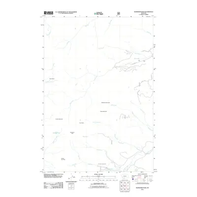 2011 Ramshorn Peak2011 Print · USGSGallatin County’s high peaks and remote drainages are documented here during the early 2000s. Hikers and historians can trace routes toward Buffalo Horn Pass or locate the site of the Tom Miner Campground near Ramshorn Peak.
 - 2011 Map of Fossil Lake, 2011 Print
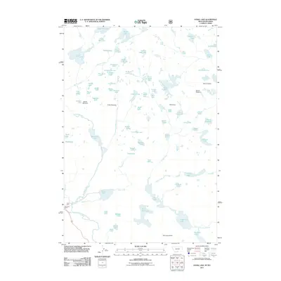 2011 Fossil Lake2011 Print · USGSHigh in the Beartooth Plateau during the early twenty-first century, this map shows a dense network of alpine lakes and granite peaks. Researchers can locate remote landmarks like Big Moose Resort or trace the drainages surrounding Fossil Lake and Mount Rosebud.
 - 2011 Map of Granite Peak, 2011 Print
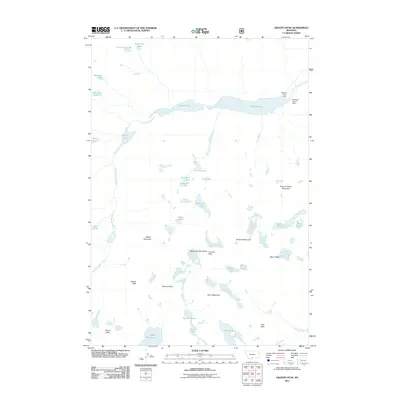 2011 Granite Peak2011 Print · USGSThe Beartooth Mountains are captured in detail during the early twenty-first century, showcasing the high-elevation terrain around Montana's highest point. Researchers can trace the alpine hydrology from Mystic Lake Dam down through West Rosebud Creek and locate remote summits like Froze-to-Death Mountain.
 - 2011 Map of Little Park Mountain, 2011 Print
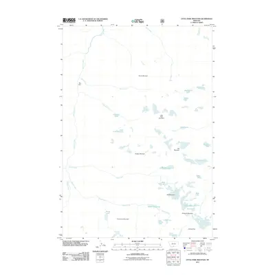 2011 Little Park Mountain2011 Print · USGSHigh-altitude wilderness in Park County comes into focus during this early twenty-first-century survey of the Beartooth range. Researchers can trace the complex alpine hydrology of the Stillwater River and its feeder basins including Glacier Green Lake and Grasshopper Lakes.
 - 2011 Map of Lamar Canyon, 2011 Print
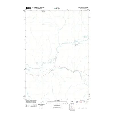 2011 Lamar Canyon2011 Print · USGSThe Lamar River and its high-elevation tributaries are captured here during the early twenty-first century. Researchers can trace remote backcountry landmarks such as the Slough Creek Patrol Cabins, McBride Lake, and the expansive Buffalo Plateau.
 - 2011 Map of Mount Hornaday, 2011 Print
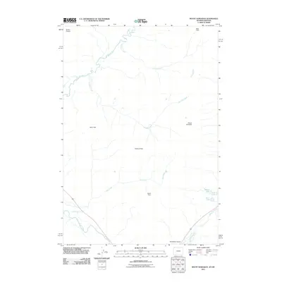 2011 Mount Hornaday2011 Print · USGSPark County, Wyoming, and the adjacent Montana border are captured here in the early twenty-first century as a pristine mountain wilderness. Trace high-altitude routes through Bliss Pass and locate secluded alpine waters like Trout Lake and Shrimp Lake.
 - 2011 Map of Mammoth, 2011 Print
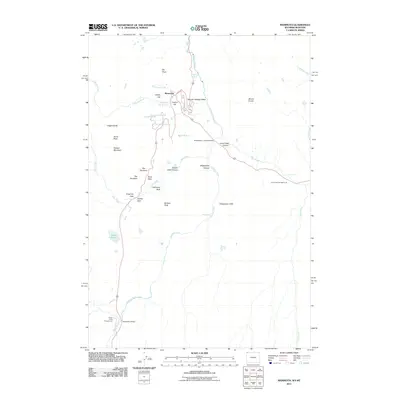 2011 Mammoth2011 Print · USGSThe thermal features and geological gateways around the northern border of Wyoming are documented here in the early 21st century. Researchers can trace the layout of Mammoth and find local landmarks such as The Hoodoos, Liberty Cap, and Kingman Pass.
 - 2011 Map of Tower Junction, 2011 Print
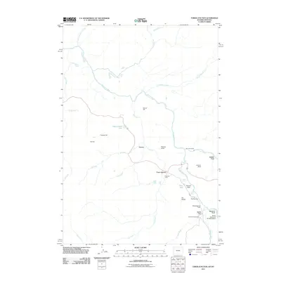 2011 Tower Junction2011 Print · USGSNorthern Wyoming at the beginning of the twenty-first century reveals a landscape shaped by river confluences and historic crossings. Researchers can trace the proximity of Roosevelt Lodge to iconic landmarks like Tower Fall and the Buffalo Ford.
 - 2011 Map of Cooke City, 2011 Print
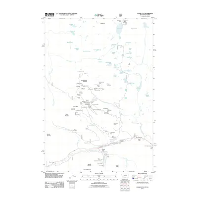 2011 Cooke City2011 Print · USGSThe high alpine mining camps of the Beartooth Range come to life in this survey of the Montana-Wyoming border. Historians and genealogists can trace decades of mineral claims at the Glengarry Mines, Mc Larens Mines, and the local Cooke City Cemetery.
 - 2011 Map of Ash Mountain, 2011 Print
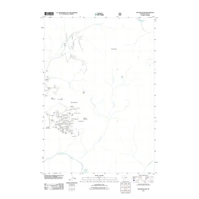 2011 Ash Mountain2011 Print · USGSThis part of Park County is defined by its deep mining heritage and high-mountain hydrology in the early twenty-first century. Genealogists and historians can trace the numerous claims around Crevice Mountain, including the Kennebeck Mine, and find the Jardine Cemetery near Pine Creek.
 - 2011 Map of Mount Wallace, 2011 Print
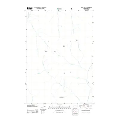 2011 Mount Wallace2011 Print · USGSPark County high country is documented here in the early twenty-first century, showcasing a landscape of isolated basins and alpine peaks. Researchers can locate remote sites like Bull Moose Cabin and trace the rugged paths of Hellroaring Creek and Passage Falls.
 - 2011 Map of Gobblers Knob, 2011 Print
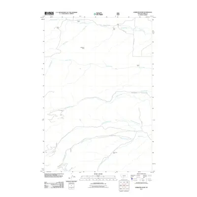 2011 Gobblers Knob2011 Print · USGSPark County ranch lands and high-country drainages are meticulously documented in this early twenty-first century survey. Trace the footprints of historic agricultural life through family-named landmarks like Hansen Ranch, Gibson Ranch, and the Terry Sheep Camp.
 - 2011 Map of Iron Mountain, 2011 Print
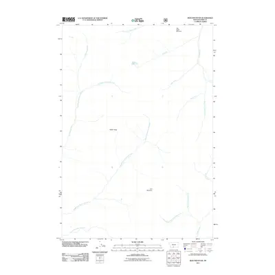 2011 Iron Mountain2011 Print · USGSPark County, Montana, is shown here as it appeared in the early 21st century, centered on high alpine summits and remote watersheds. You can trace the headwaters of the Boulder River and locate secluded landmarks like Elk Lake and War Eagle Mountain.
 - 2011 Map of Mount Cowen, 2011 Print
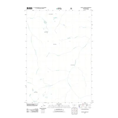 2011 Mount Cowen2011 Print · USGSPark County high country is documented here in the early twenty-first century, showing the intricate headwaters of the Absaroka Range. Researchers can trace alpine drainage systems from Pine Creek Lake to Beaver Meadows and locate summits like Mount Cowen.
 - 2011 Map of Chadborn, 2011 Print
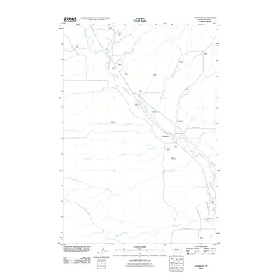 2011 Chadborn2011 Print · USGSThe Shields River valley comes into focus in the early twenty-first century as a hub of Montana ranching tradition. Genealogists and local historians can trace family landholdings like the Chadbourne Ranch and Tregloan Ranch or locate the Foster Ranches Airport.
 - 2011 Map of Roundhead Butte, 2011 Print
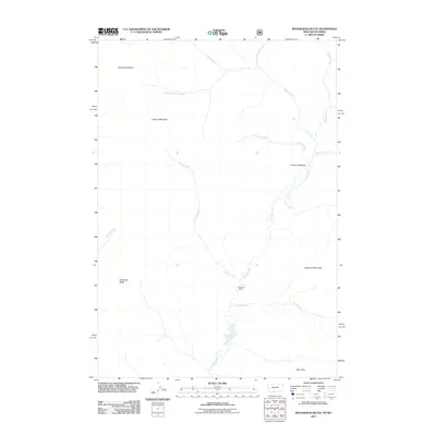 2011 Roundhead Butte2011 Print · USGSPark County, Wyoming, is captured here in the early twenty-first century, showcasing a wilderness of high peaks and cold-water drainages. Researchers can trace the remote Silver Tip Ranch or navigate the high-elevation routes through Bliss Pass and Frenchy Meadow.
 - 2011 Map of Grannis, 2011 Print
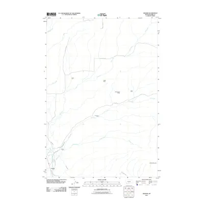 2011 Grannis2011 Print · USGSThe Shields River valley in Park County is captured here during the early twenty-first century as a landscape defined by ranching and irrigation. Genealogists and local historians can trace legacy holdings like Bohleen Ranch and Eyman Ranch alongside the Palmer Ditch and Lower Shields Valley Ditch.
 - 2011 Map of Mount Ellis, 2011 Print
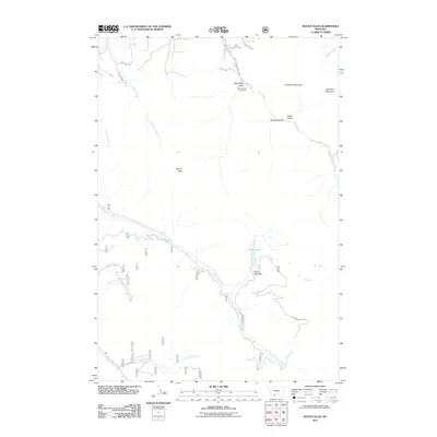 2011 Mount Ellis2011 Print · USGSGallatin County's high country is documented here in the early twenty-first century, showing the intersection of recreational development and rugged water systems. Trace the routes to Mystic Lake Dam, locate the Bear Canyon Ski Lodge, and follow the drainages of Bozeman Creek.
 - 2011 Map of Mineral Mountain, 2011 Print
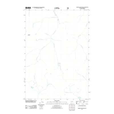 2011 Mineral Mountain2011 Print · USGSMineral Mountain and the high backcountry of Park County are captured here in the early twenty-first century. Outdoor researchers and historians can trace the headwaters of West Fork Mill Creek and find remote alpine waters like Castle Lake and Charlie White Lake.
 - 2011 Map of Pray, 2011 Print
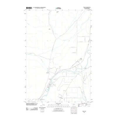 2011 Pray2011 Print · USGSPark County ranching and river life are caught in detail during the early 2010s. Genealogists and historians can trace family locations near Nesbit Cemetery, the Pray Post Office, and the early rail infrastructure of Pray Siding.
 - 2011 Map of Knowles Peak, 2011 Print
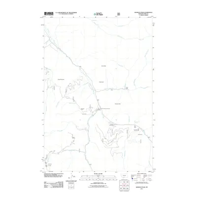 2011 Knowles Peak2011 Print · USGSPark County ranching and recreation are captured here in the early twenty-first century, centered on the drainage of Mill Creek. Researchers can trace old mining claims like the Barbara Ann Mine or locate early valley landmarks like the Yellowstone Bible Encampment.
 - 2011 Map of Clyde Park, 2011 Print
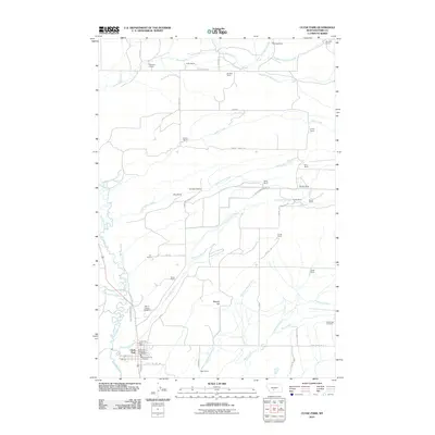 2011 Clyde Park2011 Print · USGSRanching life in Park County remains the focus of this modern survey as the town of Clyde Park sits at the confluence of the Shields River and Cottonwood Creek. Researchers can locate family landmarks like McClung Ranch, Egler Ranch, and the Mount Calvary Cemetery.
 - 2011 Map of Chrome Mountain, 2011 Print
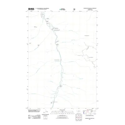 2011 Chrome Mountain2011 Print · USGSPark County, Montana, was a landscape of high-elevation mining and ranching at the start of the twenty-first century. Researchers can trace historic extraction sites like the Nicon Number 1 Mine and Skillman Mine alongside properties like Clydehurst Ranch.
Showing maps 1-25 of 237
Top cities of Park County
Frequently asked questions
- What are the different types of historical maps available for Park County?
- What is the oldest map of Park County?
- Where can I purchase historical maps of Park County for my home or office?
- Where can I download high-res historical maps of Park County?
- Are there historical topographic maps available for Park County?
- Is there historical aerial imagery available for Park County?
- Where are historical maps of Park County sourced from?