2020s Maps of Park County, Montana
Explore 148 historic maps of Park County from the 2020s. These maps offer a rare glimpse into what life looked like during the 2020s — showing old roads, neighborhoods, homes, and landmarks that have changed or disappeared over time.
Whether you're researching your family's past, planning a metal detecting trip, or studying how Park County's landscape evolved across the 2020s, these high-resolution maps are a powerful tool for exploring the history of this region.
- Focus on a specific era: All maps on this page are from the 2020s, giving you a focused view of this time period.
- See what’s changed: Compare century-old streets, trails, and buildings to today's modern landscape using overlays and satellite layers.
- Research with precision: Use these maps for genealogy, historical research, land use analysis, or educational projects.
- View, download, or print: Maps are fully viewable online in high resolution, and can be downloaded or printed for your own records.
Start exploring Park County's history through authentic maps from the 2020s. This is your window into the past.
Park County, MT maps
(148)- 2020 Map of Campfire Lake, 2020 Print
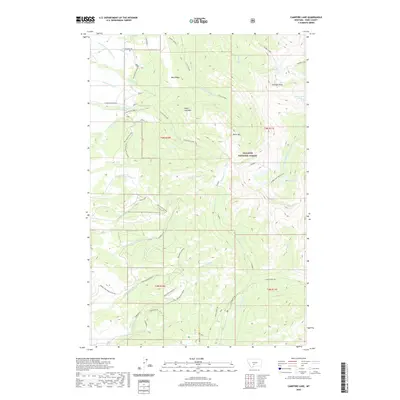 2020 Campfire Lake2020 Print · USGSGallatin National Forest in Park County is shown here at the start of the 2020s, highlighting a high-altitude wilderness of alpine lakes and mountain peaks. Backcountry travelers and researchers can trace remote routes like Shields Lowline or find isolated water bodies including Sunlight Lake and Dead Horse Lakes.
 - 2020 Map of Crazy Peak, 2020 Print
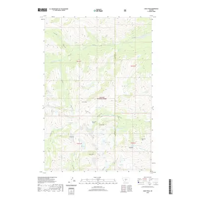 2020 Crazy Peak2020 Print · USGSThe high alpine crest of the Crazy Mountains is captured here in the contemporary era, spanning the boundary of Park and Sweet Grass counties. Hikers and researchers can trace the drainages of Sweet Grass Creek or locate remote summits like Crazy Peak and Wilsall Peak.
 - 2020 Map of Wolf Hill, 2020 Print
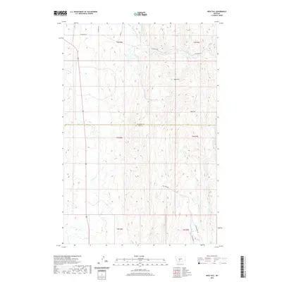 2020 Wolf Hill2020 Print · USGSHigh-country drainages and ridgelines dominate this Meagher County border region in the modern era. Researchers can trace the rugged network of local routes like Coal Camp Rd and Sixteenmile Rd as they wind past landmarks like Wolf Hill and Rees Hills.
 - 2020 Map of Cottonwood Reservoir, 2020 Print
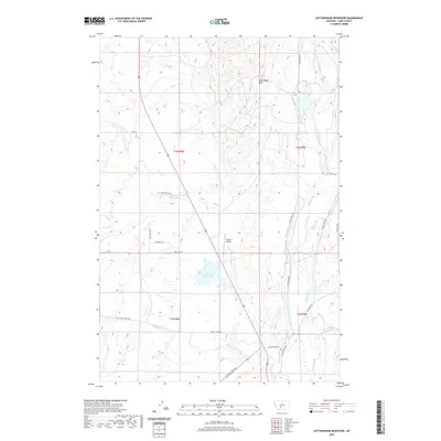 2020 Cottonwood Reservoir2020 Print · USGSPark County, Montana, is documented here in the early twenty-first century as a land of managed water and open ranchland. Researchers can trace the irrigation network of the Big Canal, identify the location of the Wilsall Airport, and locate family-named landmarks like the Kavanaugh Hills.
 - 2020 Map of Lena Creek, 2020 Print
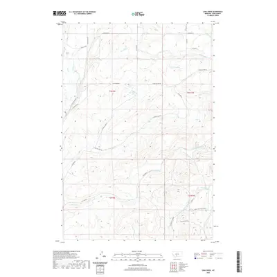 2020 Lena Creek2020 Print · USGSPark County ranch lands and the upper reaches of the Crazy Mountains foothills come into focus in this recent topographic survey. Researchers can trace family-named roads and drainage systems such as Coal Camp Rd, Waltons Ln, and Daisy Dean Creek.
 - 2020 Map of Wallrock, 2020 Print
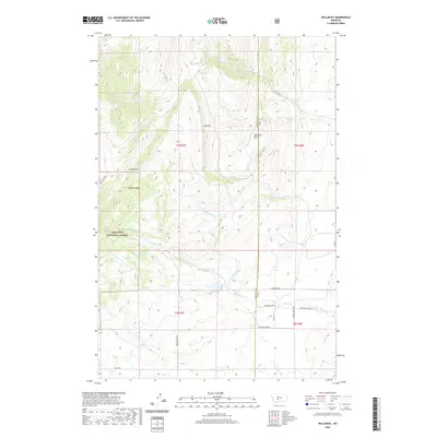 2020 Wallrock2020 Print · USGSGallatin County’s high country is documented here in the early twenty-first century as it spans the forest and county lines. Local researchers can trace the drainages of Muddy Cr and Cottonwood Cr or locate family-named routes like Keister Hardy Rd.
 - 2020 Map of Sixteen NE, 2020 Print
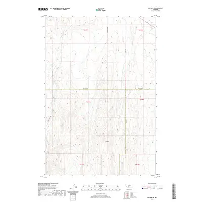 2020 Sixteen NE2020 Print · USGSGallatin and Meagher counties meet in this high-country Montana survey from the early twenty-first century. Researchers can trace the rugged drainages of Middle Fork Sixteenmile Cr and Lost Cr or locate old routes like Brekey Rd.
 - 2020 Map of Little Park Mountain, 2020 Print
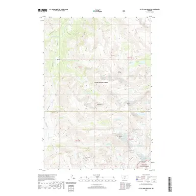 2020 Little Park Mountain2020 Print · USGSThe Beartooth Mountains of Park County are shown here in the late twenty-first century, spanning the border of two national forests. Trace high-altitude features like Wolf Glacier, Iceberg Peak, and the alpine waters of Grasshopper Lakes.
 - 2020 Map of Granite Peak, 2020 Print
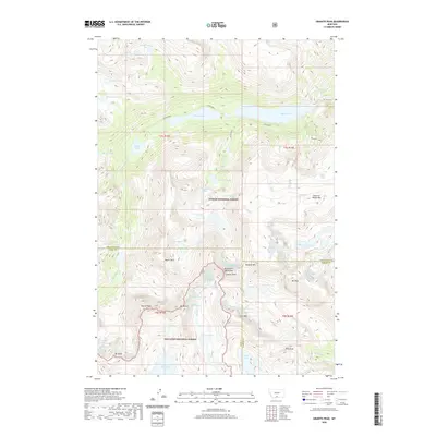 2020 Granite Peak2020 Print · USGSThe high Beartooth Mountains of southern Montana are mapped here in the early twenty-first century, showing the intersection of three counties. Mountain climbers and geography buffs can trace the routes around Granite Peak and Mystic Lake or locate Sky Top Lakes and Froze-to-Death Mtn.
 - 2020 Map of Cooke City, 2020 Print
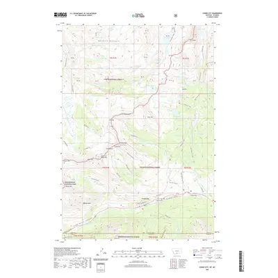 2020 Cooke City2020 Print · USGSThe high-altitude mining and gateway communities of Cooke City and Silver Gate sit at the intersection of three National Forests and the northeast entrance of Yellowstone National Park. Researchers can trace old mountain routes and mining history through Lulu Pass, the Gold Dust Mine, and the Cooke City Cem.
 - 2020 Map of Hoppers, 2020 Print
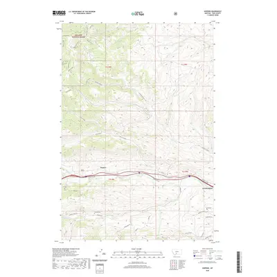 2020 Hoppers2020 Print · USGSPark County at the dawn of the 2020s shows the transition from the mountain heights of the Gallatin National Forest to the valleys near Livingston. Trace the railroad's path through Tunnel Number 1 near Hoppers or locate the historic Cokedale Cem along the creek.
 - 2020 Map of Lewis Creek, 2020 Print
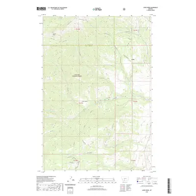 2020 Lewis Creek2020 Print · USGSThe high peaks of the Gallatin Range dominate this 2020 topographic map of the Park and Gallatin County border. Historians and outdoor researchers can trace the drainages of Lewis Creek and Big Creek or locate the settlement at Kotke.
 - 2020 Map of Iron Mountain, 2020 Print
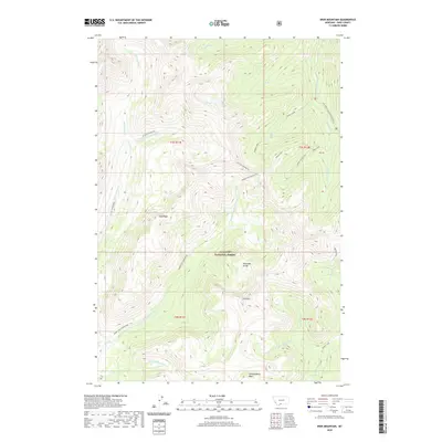 2020 Iron Mountain2020 Print · USGSPark County at the dawn of the 2020s remains a high-elevation wilderness defined by the Absaroka Range. Researchers can trace the source of the Boulder River or locate remote landmarks like Iron Mtn and Hummingbird Basin.
 - 2020 Map of Gobblers Knob, 2020 Print
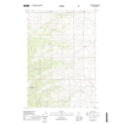 2020 Gobblers Knob2020 Print · USGSPark County high country comes into focus in this recent survey of the Bridger Range foothills. Trace forest access routes like the Bangtail Creek-Connector and family-named roads such as Harms Ln or Robert E Lee near Gobblers Knob.
 - 2020 Map of Virginia Peak, 2020 Print
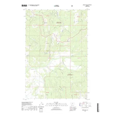 2020 Virginia Peak2020 Print · USGSPark and Meagher counties are mapped here in the modern era, showing the high-country divide between two national forests. Researchers can trace forest access routes like the Lodgepole Tie and locate landmarks such as Davey Butte and Target Rock.
 - 2020 Map of Sedan, 2020 Print
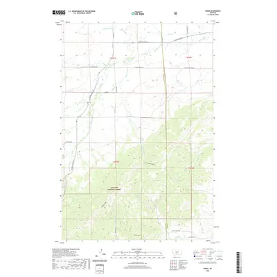 2020 Sedan2020 Print · USGSGallatin and Park counties meet in this 2020 survey of the Montana high country near Sedan. Researchers can locate the Sedan Cem and trace the drainage of Flathead Cr as it flows past Battle Ridge and the Gallatin National Forest.
 - 2020 Map of McLeod Basin, 2020 Print
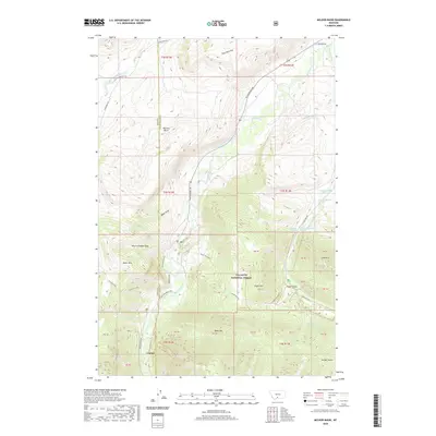 2020 McLeod Basin2020 Print · USGSModern Montana ranching and river geography meet in this 2020 survey of the area where the Boulder River forks. Researchers can trace the path of historic irrigation via the McLeod Ditch or locate the site of Contact near the Gallatin National Forest.
 - 2020 Map of Mount Rae, 2020 Print
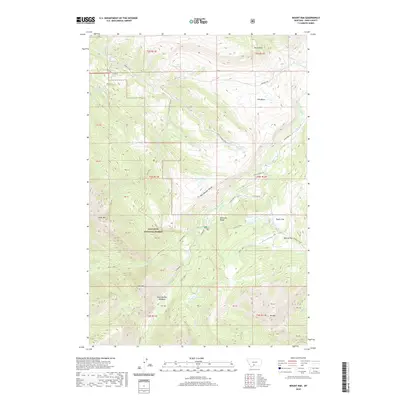 2020 Mount Rae2020 Print · USGSPark County high country is shown here in the 2020s, dominated by the Gallatin National Forest and the peaks of the Absaroka Range. Researchers can trace remote alpine hydrology and landmarks like West Boulder Meadows, Horseshoe Lake, and Mt Rae.
 - 2020 Map of Miner, 2020 Print
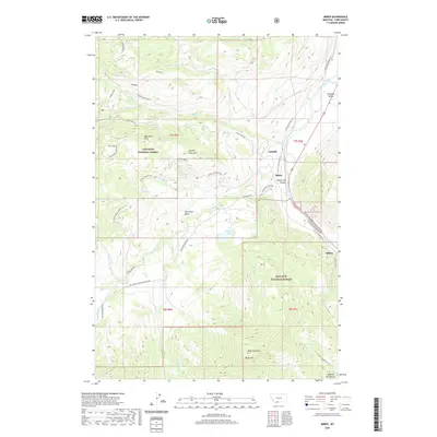 2020 Miner2020 Print · USGSPark County at the gateway to the high peaks shows a landscape defined by the Yellowstone River and historic mountain transit routes. Researchers can trace the path of the Old Yellowstone Trl and find markers like the Yankee Jim Toll N near Carbella.
 - 2020 Map of Loco Mountain, 2020 Print
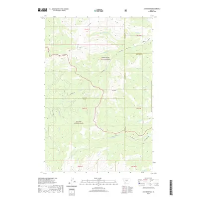 2020 Loco Mountain2020 Print · USGSThe Crazy Mountains of central Montana are shown in detail during the early twenty-first century, spanning four county lines. Researchers can trace the alpine headwaters of the Shields River and the high elevations around Loco Mountain and Lebo Peak.
 - 2020 Map of Big Draw, 2020 Print
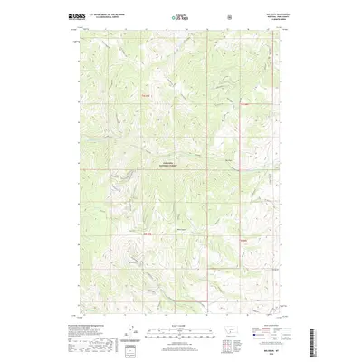 2020 Big Draw2020 Print · USGSPark County high country in the modern era is defined by the protected wilderness of the Gallatin National Forest. Researchers can trace the drainages of Eightmile Cr and Miller Creek or locate landmarks like Point Stupid and Mud Lake.
 - 2020 Map of Kelly Hills, 2020 Print
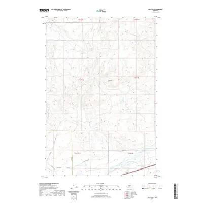 2020 Kelly Hills2020 Print · USGSThe Yellowstone River valley and the southern reaches of Sweet Grass County are documented here in the early twenty-first century. Researchers can trace historic transportation and irrigation via the N Yellowstone Trail Rd and Hunters Hot Springs Canal.
 - 2020 Map of Ramshorn Peak, 2020 Print
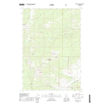 2020 Ramshorn Peak2020 Print · USGSThe Gallatin Range and surrounding national forest lands appear here in the early twenty-first century. Researchers can trace the high-country drainages of Big Creek and locate remote landmarks like Buffalo Horn Pass and the Tom Miner Basin.
 - 2020 Map of Fairview Peak, 2020 Print
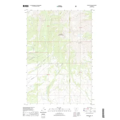 2020 Fairview Peak2020 Print · USGSThe high peaks and forest boundary of south-central Montana are captured here during the early twenty-first century. Researchers can trace the ranching and water history of the region via the Bishir Ditch, Robinson Bench, and Smeller Lake.
 - 2020 Map of Hunters Hot Springs, 2020 Print
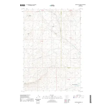 2020 Hunters Hot Springs2020 Print · USGSThe high country of the Montana-Sweet Grass county line comes into focus in this modern survey of the Yellowstone river backcountry. Researchers can trace the winding Convict Grade Rd or locate distinctive landmarks like Choke-To-Death Butte and Hunters Hot Springs.
Showing maps 1-25 of 148
Top cities of Park County
Frequently asked questions
- What are the different types of historical maps available for Park County?
- What is the oldest map of Park County?
- Where can I purchase historical maps of Park County for my home or office?
- Where can I download high-res historical maps of Park County?
- Are there historical topographic maps available for Park County?
- Is there historical aerial imagery available for Park County?
- Where are historical maps of Park County sourced from?