
Historical Maps of Walsh County, North Dakota
What stories do these 79 old maps tell about Walsh County's past? From 1918 to present day, these maps reveal the evolution of streets, neighborhoods, iconic landmarks, and natural features in stunning high-res detail. Whether you're a history enthusiast, genealogist, or professional in education, environmental work, or architecture, these maps are perfect for exploration, research, and discovery.
Discover Walsh County's history through maps:
- Trace Walsh County's growth: Explore earlier and latest maps and editions to uncover how the region changed over time.
- Examine technical details: Each map includes its creators, publishers, scale, dimensions, and full source information.
- Layer maps with modern tools & imagery: Compare historical maps to modern-day with high-resolution satellite imagery and detailed LiDAR layers.
- Sourced from trusted archives: Carefully preserved and digitized by institutions like the United Stated Geological Survey and the US Library of Congress.
- Access in any format: View and explore in high resolution, download for offline use, or order a museum-quality print for yourself or a loved one.
Begin your journey into Walsh County's history with these remarkable must-see maps.
Walsh County, ND maps
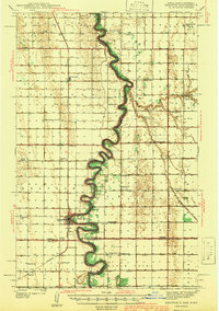
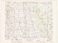
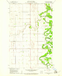
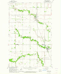
(79)- 1918 Map of Acton
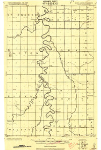 1918 Acton1918 Print · USGSCovers Walsh County, including Big Woods, Marshall County, and other nearby areas
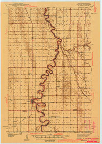
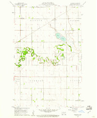
 - 1926 Map of Ardoch, 1944 Print
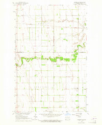
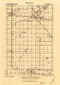 1926 Ardoch1944 Print · USGSCovers Walsh County, including Mekinock, Gilby, and other nearby areas
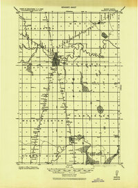
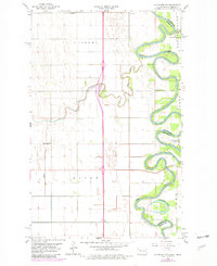
 - 1939 Map of Drayton, 1954 Print
 1939 Drayton1954 Print · USGSCovers Walsh County, including Drayton, Herrick, and other nearby areas
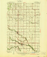
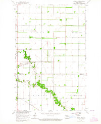
 - 1939 Map of Glasston, 1958 Print
 1939 Glasston1958 Print · USGSCovers Walsh County, including Auburn, Saint Thomas, and other nearby areas
 - 1939 Map of Drayton, 1972 Print
 1939 Drayton1972 Print · USGSCovers Walsh County, including Drayton, Herrick, and other nearby areas
 - 1941 Map of Drayton
 1941 Drayton1941 Print · USGSCovers Walsh County, including Drayton, Herrick, and other nearby areas
 - 1941 Map of Glasston
 1941 Glasston1941 Print · USGSCovers Walsh County, including Auburn, Saint Thomas, and other nearby areas
 - 1941 Map of Drayton
 1941 Drayton1941 Print · USGSCovers Walsh County, including Drayton, Herrick, and other nearby areas
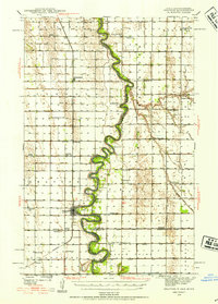
 - 1943 Map of Grafton
 1943 Grafton1943 Print · USGSCovers Walsh County, including Grafton, Minto, and other nearby areas
 - 1944 Map of Crystal
 1944 Crystal1944 Print · USGSCovers Walsh County, including Hoople, Crystal, and other nearby areas
 - 1952 Map of Thief River Falls, 1967 Print
 1952 Thief River Falls1967 Print · USGSCovers Walsh County, including Thief River Falls, Grafton, and other nearby areas
 - 1952 Map of Thief River Falls, 1977 Print
 1952 Thief River Falls1977 Print · USGSCovers Walsh County, including Thief River Falls, Grafton, and other nearby areas
 - 1953 Map of Devils Lake, 1968 Print
 1953 Devils Lake1968 Print · USGSCovers Walsh County, including Devils Lake, Rugby, and other nearby areas
 - 1953 Map of Devils Lake, 1974 Print
 1953 Devils Lake1974 Print · USGSCovers Walsh County, including Devils Lake, Rugby, and other nearby areas
 - 1953 Map of Devils Lake, 1986 Print
 1953 Devils Lake1986 Print · USGSCovers Walsh County, including Devils Lake, Rugby, and other nearby areas
 - 1956 Map of Thief River Falls
 1956 Thief River Falls1956 Print · USGSCovers Walsh County, including Thief River Falls, Grafton, and other nearby areas
 - 1956 Map of Devils Lake
 1956 Devils Lake1956 Print · USGSCovers Walsh County, including Devils Lake, Rugby, and other nearby areas
 - 1957 Map of Thief River Falls
 1957 Thief River Falls1957 Print · USGSCovers Walsh County, including Thief River Falls, Grafton, and other nearby areas
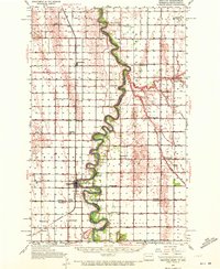
 - 1960 Map of Grafton, 1961 Print
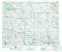
 1960 Grafton1961 Print · USGSCovers Walsh County, including Grafton, United States, and other nearby areas
 - 1960 Map of Big Woods NW, 1961 Print
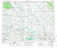
 1960 Big Woods NW1961 Print · USGSCovers Walsh County, including Marshall County, United States, and other nearby areas
 - 1960 Map of Oakwood, 1961 Print
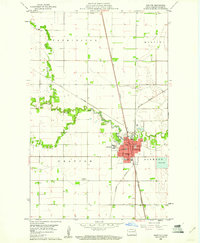
 1960 Oakwood1961 Print · USGSCovers Walsh County, including Grafton, Oakwood, and other nearby areas
 - 1960 Map of Big Woods NW, 1981 Print
 1960 Big Woods NW1981 Print · USGSCovers Walsh County, including Marshall County, United States, and other nearby areas
 - 1963 Map of Crystal SE, 1964 Print
 1963 Crystal SE1964 Print · USGSCovers Walsh County, including Pembina County, United States, and other nearby areas
 - 1963 Map of Crystal, 1964 Print
 1963 Crystal1964 Print · USGSCovers Walsh County, including Hoople, Crystal, and other nearby areas
 - 1963 Map of Inkster NE, 1964 Print
 1963 Inkster NE1964 Print · USGSCovers Walsh County, including Ops, Grand Forks County, and other nearby areas
Showing maps 1-25 of 79
Top cities in Walsh County
- Grafton historical maps
- Park River historical maps
- Minto historical maps
- Hoople historical maps
- Fordville historical maps
- Edinburg historical maps
See more
Frequently asked questions
- What are the different types of historical maps available for Walsh County?
- What is the oldest map of Walsh County?
- Where can I purchase historical maps of Walsh County for my home or office?
- Where can I download high-res historical maps of Walsh County?
- Are there historical topographic maps available for Walsh County?
- Is there historical aerial imagery available for Walsh County?
- Where are historical maps of Walsh County sourced from?