
Historical Maps of Platte County, Nebraska
What stories do these 47 old maps tell about Platte County's past? From 1896 to present day, these maps reveal the evolution of streets, neighborhoods, iconic landmarks, and natural features in stunning high-res detail. Whether you're a history enthusiast, genealogist, or professional in education, environmental work, or architecture, these maps are perfect for exploration, research, and discovery.
Discover Platte County's history through maps:
- Trace Platte County's growth: Explore earlier and latest maps and editions to uncover how the region changed over time.
- Examine technical details: Each map includes its creators, publishers, scale, dimensions, and full source information.
- Layer maps with modern tools & imagery: Compare historical maps to modern-day with high-resolution satellite imagery and detailed LiDAR layers.
- Sourced from trusted archives: Carefully preserved and digitized by institutions like the United Stated Geological Survey and the US Library of Congress.
- Access in any format: View and explore in high resolution, download for offline use, or order a museum-quality print for yourself or a loved one.
Begin your journey into Platte County's history with these remarkable must-see maps.
Platte County, NE maps
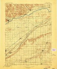
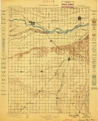
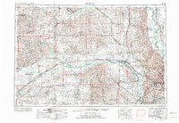
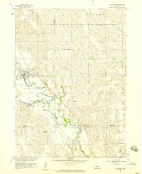
(47)- 1896 Map of Stromsburg
 1896 Stromsburg1896 Print · USGSCovers Platte County, including Central City, Fullerton, and other nearby areas
 - 1896 Map of Stromsburg, 1906 Print
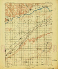
 1896 Stromsburg1906 Print · USGSCovers Platte County, including Central City, Fullerton, and other nearby areas
 - 1896 Map of Stromsburg, 1914 Print
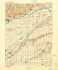
 1896 Stromsburg1914 Print · USGSCovers Platte County, including Central City, Fullerton, and other nearby areas
 - 1896 Map of Stromsburg, 1940 Print
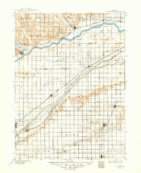
 1896 Stromsburg1940 Print · USGSCovers Platte County, including Central City, Fullerton, and other nearby areas
 - 1896 Map of Stromsburg, 1949 Print
 1896 Stromsburg1949 Print · USGSCovers Platte County, including Central City, Fullerton, and other nearby areas
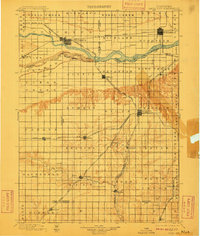
 - 1899 Map of David City
 1899 David City1899 Print · USGSCovers Platte County, including Columbus, Schuyler, and other nearby areas
 - 1899 Map of David City, 1910 Print
 1899 David City1910 Print · USGSCovers Platte County, including Columbus, Schuyler, and other nearby areas
 - 1899 Map of David City, 1949 Print
 1899 David City1949 Print · USGSCovers Platte County, including Columbus, Schuyler, and other nearby areas
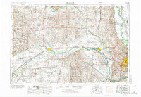
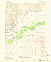
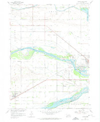
 - 1955 Map of Fremont, 1966 Print
 1955 Fremont1966 Print · USGSCovers Platte County, including Omaha, Bellevue, and other nearby areas
 - 1955 Map of Fremont, 1974 Print
 1955 Fremont1974 Print · USGSCovers Platte County, including Omaha, Bellevue, and other nearby areas
 - 1955 Map of Fremont, 1974 Print
 1955 Fremont1974 Print · USGSCovers Platte County, including Omaha, Bellevue, and other nearby areas
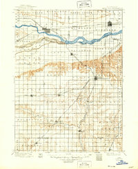
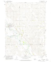
 - 1957 Map of Fremont
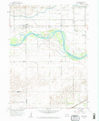
 1957 Fremont1957 Print · USGSCovers Platte County, including Omaha, Bellevue, and other nearby areas
 - 1958 Map of Fremont
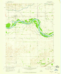
 1958 Fremont1958 Print · USGSCovers Platte County, including Omaha, Bellevue, and other nearby areas
 - 1958 Map of Genoa, 1959 Print
 1958 Genoa1959 Print · USGSCovers Platte County, including Genoa, Merrick County, and other nearby areas
 - 1958 Map of Monroe, 1959 Print
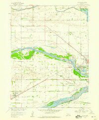
 1958 Monroe1959 Print · USGSCovers Platte County, including Oconee, Duncan, and other nearby areas
 - 1958 Map of Monroe, 1959 Print
 1958 Monroe1959 Print · USGSCovers Platte County, including Oconee, Duncan, and other nearby areas
 - 1958 Map of Duncan, 1959 Print
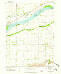
 1958 Duncan1959 Print · USGSCovers Platte County, including Columbus, Duncan, and other nearby areas
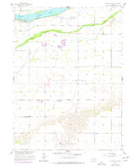
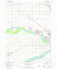
 - 1958 Map of Columbus SW, 1959 Print
 1958 Columbus SW1959 Print · USGSCovers Platte County, including Polk County, United States, and other nearby areas
 - 1958 Map of Silver Creek SE, 1959 Print
 1958 Silver Creek SE1959 Print · USGSCovers Platte County, including Gardiner, Polk County, and other nearby areas
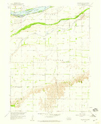
 - 1958 Map of Columbus, 1959 Print
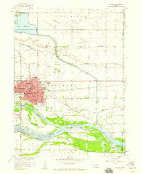 1958 Columbus1959 Print · USGSCovers Platte County, including Columbus, Carriage House Estates, and other nearby areas
 - 1958 Map of St. Edward, 1960 Print
 1958 St. Edward1960 Print · USGSCovers Platte County, including Saint Edward, Nance County, and other nearby areas
 - 1958 Map of Duncan, 1974 Print
 1958 Duncan1974 Print · USGSCovers Platte County, including Columbus, Duncan, and other nearby areas
 - 1958 Map of St. Edward, 1977 Print
 1958 St. Edward1977 Print · USGSCovers Platte County, including Saint Edward, Nance County, and other nearby areas
 - 1958 Map of Columbus SW, 1977 Print
 1958 Columbus SW1977 Print · USGSCovers Platte County, including Polk County, United States, and other nearby areas
 - 1958 Map of Duncan, 1977 Print
 1958 Duncan1977 Print · USGSCovers Platte County, including Columbus, Duncan, and other nearby areas
Showing maps 1-25 of 47
Top cities in Platte County
- Columbus historical maps
- Humphrey historical maps
- Oconee historical maps
- Platte Center historical maps
- Duncan historical maps
- Monroe historical maps
See more
Frequently asked questions
- What are the different types of historical maps available for Platte County?
- What is the oldest map of Platte County?
- Where can I purchase historical maps of Platte County for my home or office?
- Where can I download high-res historical maps of Platte County?
- Are there historical topographic maps available for Platte County?
- Is there historical aerial imagery available for Platte County?
- Where are historical maps of Platte County sourced from?