2020s Maps of De Baca County, New Mexico
Explore 112 historic maps of De Baca County from the 2020s. These maps offer a rare glimpse into what life looked like during the 2020s — showing old roads, neighborhoods, homes, and landmarks that have changed or disappeared over time.
Whether you're researching your family's past, planning a metal detecting trip, or studying how De Baca County's landscape evolved across the 2020s, these high-resolution maps are a powerful tool for exploring the history of this region.
- Focus on a specific era: All maps on this page are from the 2020s, giving you a focused view of this time period.
- See what’s changed: Compare century-old streets, trails, and buildings to today's modern landscape using overlays and satellite layers.
- Research with precision: Use these maps for genealogy, historical research, land use analysis, or educational projects.
- View, download, or print: Maps are fully viewable online in high resolution, and can be downloaded or printed for your own records.
Start exploring De Baca County's history through authentic maps from the 2020s. This is your window into the past.
De Baca County, NM maps
(112)- 2020 Map of Peach Canyon, 2020 Print
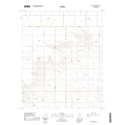 2020 Peach Canyon2020 Print · USGSEastern New Mexico's tri-county borderlands are documented here in the early twenty-first century, showing the intersection of Quay, De Baca, and Roosevelt Counties. Researchers can trace the path of Sand Cr and find secluded water sources like Peach Canyon Spring and Bull Tank Spring.
 - 2020 Map of Rippee Ranch, 2020 Print
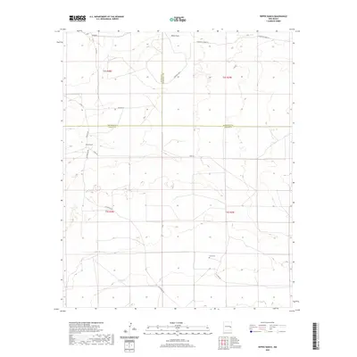 2020 Rippee Ranch2020 Print · USGSSoutheast New Mexico ranching country is documented here in the recent decade, showing a landscape of scattered family holdings and high-plains draws. Researchers can locate the Liston Cem and the namesake Rippee Ranch among a network of local routes like Tinnie Rd.
 - 2020 Map of Tolar SW, 2020 Print
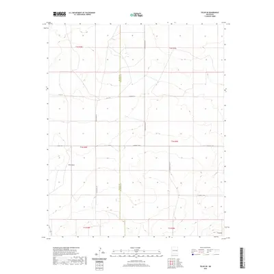 2020 Tolar SW2020 Print · USGSHigh plains ranching country in Roosevelt County is captured here in the early twenty-first century, showing the grid-based settlement of the New Mexico interior. Researchers can trace land divisions along De Baca County and identify landmarks like White Mesa and Wagon Wheel Rd.
 - 2020 Map of Windmill Draw, 2020 Print
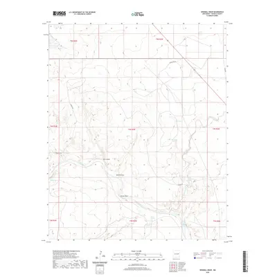 2020 Windmill Draw2020 Print · USGSThe Pecos River valley in De Baca County is captured here in its modern rural character. Researchers can trace the essential water sources that sustained ranching, from James Spring and Carretas Springs to the prominent Pacheco Bluff.
 - 2020 Map of Yeso NW, 2020 Print
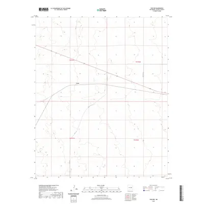 2020 Yeso NW2020 Print · USGSDe Baca County's high plains come into focus in this recent survey of the area surrounding Largo. Local researchers can trace the modern road network and township boundaries across this expansive terrain, identifying routes like Yeso Creek Rd and Hermit Loop Rd.
 - 2020 Map of Canada Colorado, 2020 Print
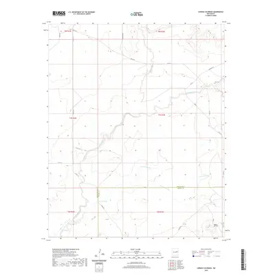 2020 Canada Colorado2020 Print · USGSGuadalupe County and De Baca County meet in this quiet stretch of New Mexico ranchland during the early twenty-first century. Genealogists and local historians can locate the Alamo Cem and trace the paths of Alamogordo Creek and Arroyo Colorado.
 - 2020 Map of Taiban, 2020 Print
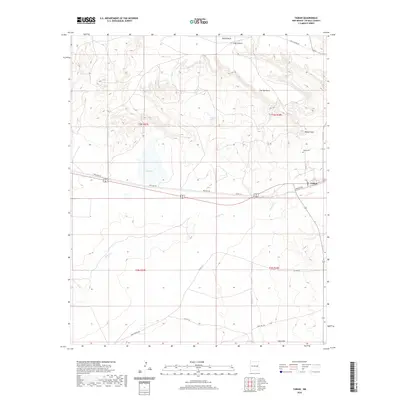 2020 Taiban2020 Print · USGSDe Baca County ranching country is captured here in the contemporary era, centered on the community of Taiban. Genealogists and local historians can locate Taiban Cem and trace the drainage of Taiban Cr beneath the heights of Taiban Mesa.
 - 2020 Map of Devils Well, 2020 Print
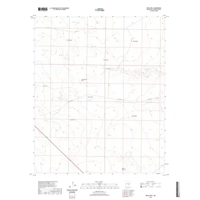 2020 Devils Well2020 Print · USGSDe Baca County ranch lands are detailed in this recent survey of the New Mexico high plains. Researchers can trace remote water sources and landmarks like Devils Well, the Triple Engle Pit, and the seasonal path of Arroyo Mora.
 - 2020 Map of The Old Dry Lake, 2020 Print
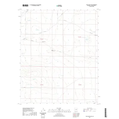 2020 The Old Dry Lake2020 Print · USGSDe Baca County ranch lands are documented here in the early twenty-first century, showing a landscape shaped by water rights and grazing infrastructure. Researchers can trace the heritage of local land use through features like School Section Tank, The Old Dry Lake, and the winding Ragland Draw.
 - 2020 Map of Bonner Lake, 2020 Print
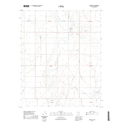 2020 Bonner Lake2020 Print · USGSDe Baca County at the start of the 2020s remains a landscape shaped by the Pecos River and the legacy of the Old West. Genealogists and historians can trace local landmarks like Mesita Negra and the namesake Bonner Lake, or follow frontier-themed routes like Billy The Kid Dr.
 - 2020 Map of Colorado Canyon, 2020 Print
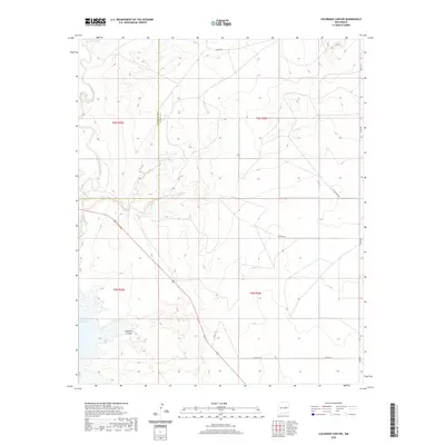 2020 Colorado Canyon2020 Print · USGSDe Baca and Guadalupe counties meet at this high desert canyon just before the turn of the decade. Genealogists and landowners can trace ranching access via Ranger Rd and Alamo Rd, alongside the waters of Lake Sumner and Colorado Canyon.
 - 2020 Map of Ricardo, 2020 Print
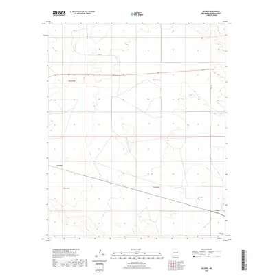 2020 Ricardo2020 Print · USGSDe Baca County, New Mexico, appears here as a quiet ranching landscape in the early twenty-first century. Researchers can locate significant burial sites like the Morris Cem and Ricardo Cem or trace the roads surrounding Evanola.
 - 2020 Map of El Morro Ranch, 2020 Print
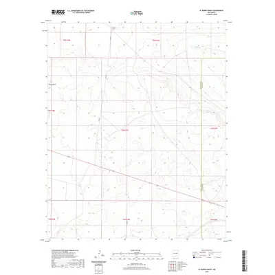 2020 El Morro Ranch2020 Print · USGSGuadalupe and De Baca counties are captured in this recent survey of the New Mexico ranching interior. Trace the rural routes along CO RD 3F and CO RD 3H to find El Morro Ranch and the natural landmark of Sotano Blanco.
 - 2020 Map of Twin Mesa, 2020 Print
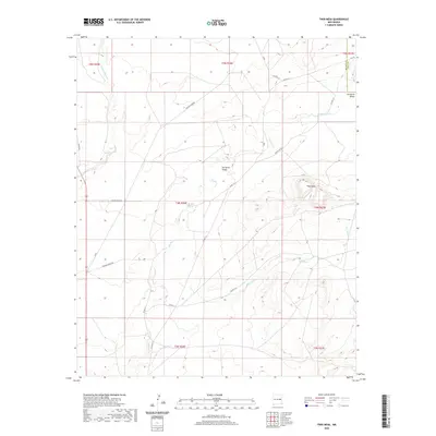 2020 Twin Mesa2020 Print · USGSDe Baca County ranch lands are captured here in the contemporary era, showing the enduring geography of the High Plains. Researchers can trace rural routes like Truchas Creek Rd and locate family landmarks like Gerhardt Valley and Twin Mesa.
 - 2020 Map of Horney Ranch, 2020 Print
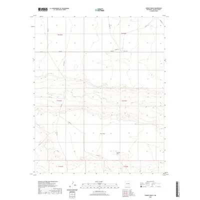 2020 Horney Ranch2020 Print · USGSDe Baca County ranch lands are captured here in the early twenty-first century, showing the remote infrastructure of the New Mexico plains. Researchers can trace land divisions and water sources like Yeso Cr or find ranch access via Angus Rd and Dunlap Rd.
 - 2020 Map of Sumner Dam, 2020 Print
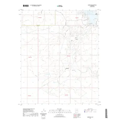 2020 Sumner Dam2020 Print · USGSThe Pecos River valley south of the reservoir is documented here in the early twenty-first century, showing a landscape defined by water management and ranching. Researchers can locate small settlements like Guadalupe and family-history landmarks such as Salado Cem and Guadalupe Cem.
 - 2020 Map of Duoro, 2020 Print
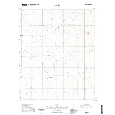 2020 Duoro2020 Print · USGSThe high plains along the border of Guadalupe and De Baca counties are captured here in a period of quiet, expansive rangeland. Researchers can trace the path of the BNSF Railway and identify remote local routes like Agua Buena Rd and Co Rd 3h.
 - 2020 Map of Dunlap NE, 2020 Print
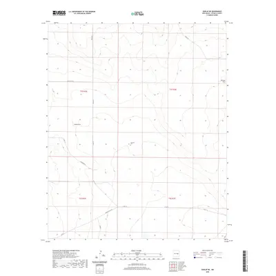 2020 Dunlap NE2020 Print · USGSDe Baca County ranch lands are shown in recent detail at the start of the 2020s, revealing a landscape of high-plains draws and rural roads. Genealogists and local historians can locate Engleville Cem and trace seasonal watercourses like Indian Draw and Gillespie Draw.
 - 2020 Map of El Morro Mesa, 2020 Print
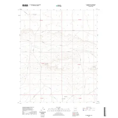 2020 El Morro Mesa2020 Print · USGSDe Baca County ranching lands are captured here in the early twenty-first century, showing a remote landscape defined by high mesas and seasonal draws. Researchers can trace the layout of Gramma Valley or locate features like El Morro Mesa and Yeso Cr.
 - 2020 Map of El Morro Ranch SE, 2020 Print
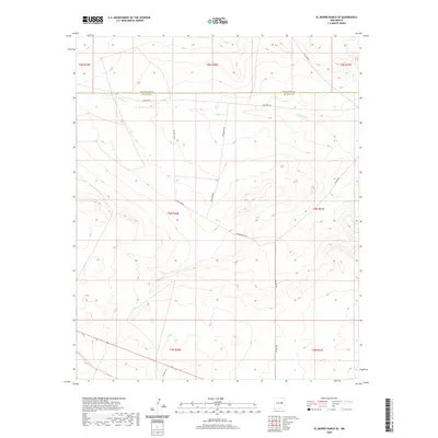 2020 El Morro Ranch SE2020 Print · USGSGuadalupe and De Baca counties meet in this high-plains ranching landscape during the early 2020s. Genealogists and historians can trace the remote roads and watercourses of the region, including Salado Cr, Lonesome Rd, and Packhorse Rd.
 - 2020 Map of Watts Hill, 2020 Print
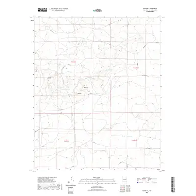 2020 Watts Hill2020 Print · USGSDe Baca County ranching lands are mapped here in the early twenty-first century, showcasing a landscape of high-plains topography and vital water tanks. Researchers can trace historical routes like Liberty School Rd and locate landmarks such as Watts Hill and Alkali Lake.
 - 2020 Map of Yeso Mesa, 2020 Print
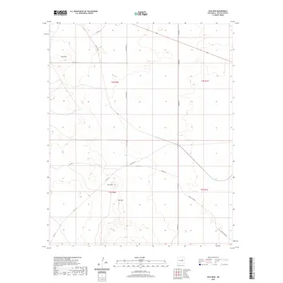 2020 Yeso Mesa2020 Print · USGSDe Baca County ranching country is shown here in the early twenty-first century, revealing a sparse landscape of mesas and winding tracks. Researchers can trace the layout of remote landmarks like Yeso Mesa, Loma Alta, and the storied Hangman Rd.
 - 2020 Map of Yeso Mesa SE, 2020 Print
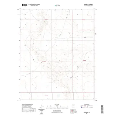 2020 Yeso Mesa SE2020 Print · USGSDe Baca County ranching lands in 2020 are defined by the wide expanse of Gramma Valley and its seasonal water networks. Researchers can trace the ranching infrastructure across the terrain, from Breaks Tank to the crossings of Yeso Cr.
 - 2020 Map of Alamo Ranch, 2020 Print
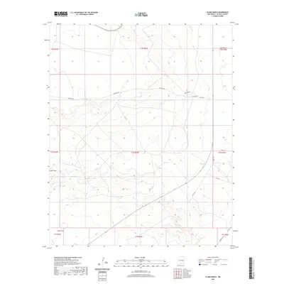 2020 Alamo Ranch2020 Print · USGSDe Baca County ranchlands are documented in this recent survey of the high desert. Researchers can trace local infrastructure and terrain features including Alamo Ranch, the seasonal waters of Yeso Cr, and named routes like Renegade Rd.
 - 2020 Map of West Camp, 2020 Print
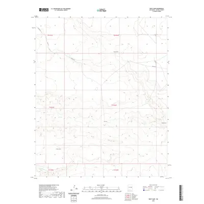 2020 West Camp2020 Print · USGSDe Baca County ranch lands are captured here in the contemporary era, showing a landscape defined by mesa topography and desert draws. Researchers can trace the drainage of Yeso Cr and Guana Draw or locate landmarks like Conejo Mesa and West Camp.
Showing maps 1-25 of 112
Top cities of De Baca County
Frequently asked questions
- What are the different types of historical maps available for De Baca County?
- What is the oldest map of De Baca County?
- Where can I purchase historical maps of De Baca County for my home or office?
- Where can I download high-res historical maps of De Baca County?
- Are there historical topographic maps available for De Baca County?
- Is there historical aerial imagery available for De Baca County?
- Where are historical maps of De Baca County sourced from?