2010s Maps of De Baca County, New Mexico
Explore 168 historic maps of De Baca County from the 2010s. These maps offer a rare glimpse into what life looked like during the 2010s — showing old roads, neighborhoods, homes, and landmarks that have changed or disappeared over time.
Whether you're researching your family's past, planning a metal detecting trip, or studying how De Baca County's landscape evolved across the 2010s, these high-resolution maps are a powerful tool for exploring the history of this region.
- Focus on a specific era: All maps on this page are from the 2010s, giving you a focused view of this time period.
- See what’s changed: Compare century-old streets, trails, and buildings to today's modern landscape using overlays and satellite layers.
- Research with precision: Use these maps for genealogy, historical research, land use analysis, or educational projects.
- View, download, or print: Maps are fully viewable online in high resolution, and can be downloaded or printed for your own records.
Start exploring De Baca County's history through authentic maps from the 2010s. This is your window into the past.
De Baca County, NM maps
(168)- 2010 Map of Hernandez Lake, 2010 Print
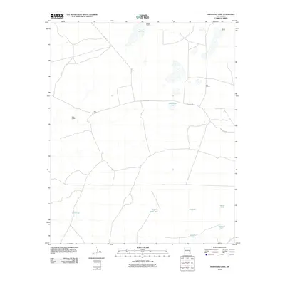 2010 Hernandez Lake2010 Print · USGSEastern New Mexico ranching lands are captured in the early 21st century, showing a remote landscape shaped by essential water sources. Genealogists and historians can locate specific outposts like West Camp and named local landmarks including Hernandez Lake and Grandpa Tank.
 - 2010 Map of Wright Ranch, 2010 Print
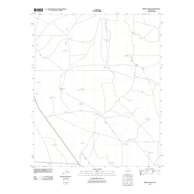 2010 Wright Ranch2010 Print · USGSDe Baca County ranch lands are captured here in the early twenty-first century, showing the critical water infrastructure of eastern New Mexico. Genealogists and historians can trace livestock operations through landmarks like Wright Ranch, Dipping Vat Lake, and the High Lonesome Windmill.
 - 2010 Map of Lovelady Draw, 2010 Print
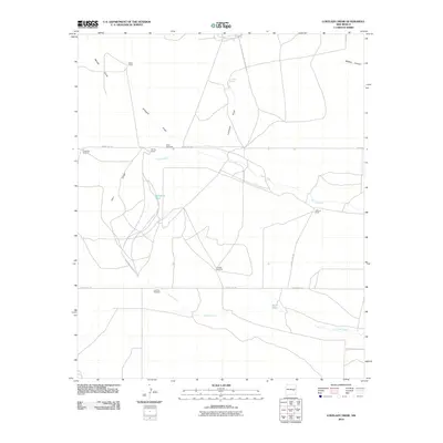 2010 Lovelady Draw2010 Print · USGSDe Baca County ranching country is mapped here in the early 2000s, showing the high-plains water network and rural land holdings. Researchers can locate family operations like Gibbons Ranch and trace vital water sources such as Lovelady Spring and Pursley Windmill.
 - 2010 Map of Twin Mesa, 2010 Print
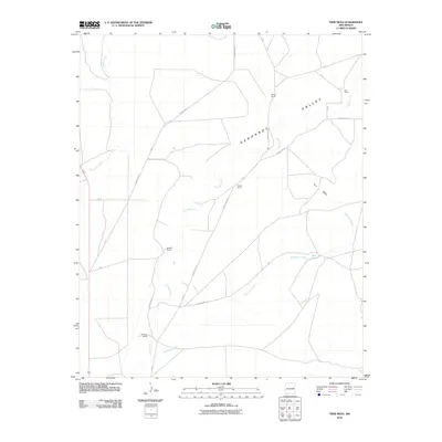 2010 Twin Mesa2010 Print · USGSThe high plains of De Baca County are captured here in the early twenty-first century, showing a landscape of working New Mexico ranches and wide valleys. Genealogists and local historians can locate specific family-named sites like Wright Ranch, Buckeye Ranch, and the land surrounding Twin Mesa.
 - 2010 Map of El Morro Mesa, 2010 Print
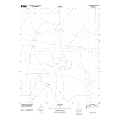 2010 El Morro Mesa2010 Print · USGSDe Baca County ranching country is shown here in the early 21st century, centered on the broad profile of El Morro Mesa. Local historians and researchers can locate established sites like Overton Ranch and Jasper Ranch or trace the course of Yeso Creek.
 - 2010 Map of The Old Dry Lake, 2010 Print
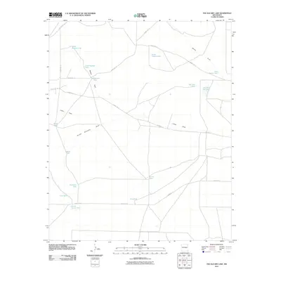 2010 The Old Dry Lake2010 Print · USGSDe Baca County ranching country is documented in the early twenty-first century, showing a landscape defined by water management and isolated cattle tanks. Researchers can trace land use through landmarks like The Old Dry Lake, School Section Tank, and Double Windmills Draw.
 - 2010 Map of Yeso NW, 2010 Print
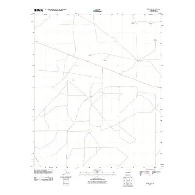 2010 Yeso NW2010 Print · USGSThe ranchlands of De Baca County are captured here in the early 21st century, showing the isolation of eastern New Mexico. Genealogists and local historians can trace family properties like Smith Ranch and Mccabe Ranch or locate regional water landmarks such as Shorty Windmill.
 - 2010 Map of Eighteenmile Hill, 2010 Print
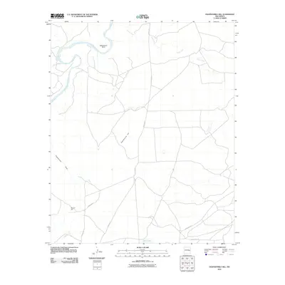 2010 Eighteenmile Hill2010 Print · USGSDe Baca County, New Mexico, is shown in the early twenty-first century, centered on the open rangeland and river bends of the eastern plains. Researchers can map the rural road network and natural landmarks like Eighteenmile Hill, Urton Lake, and Eighteenmile Bend.
 - 2010 Map of Watts Hill, 2010 Print
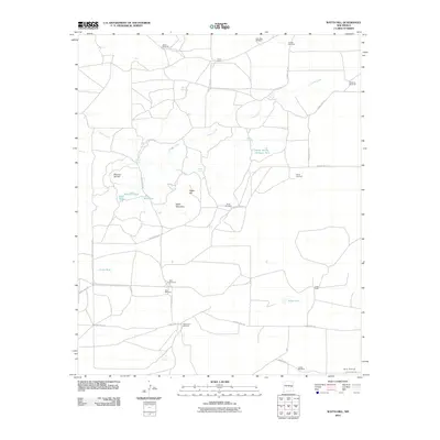 2010 Watts Hill2010 Print · USGSDe Baca County ranching country is captured here in the early twenty-first century, showing a landscape defined by water management and high plains terrain. Researchers can trace the lineage of local operations through family-named landmarks like Colter Ranch, Jones Camp, and Shoemake Windmill.
 - 2010 Map of Cooper Ranch, 2010 Print
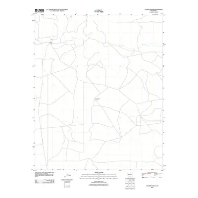 2010 Cooper Ranch2010 Print · USGSDe Baca County ranching country is captured here during the early 21st century, showing the enduring landscape of the high plains. Researchers can trace the drainage of Salado Creek or locate local landmarks like Cooper Ranch and the Upper Wagon Windmill.
 - 2010 Map of Lomas Gatos, 2010 Print
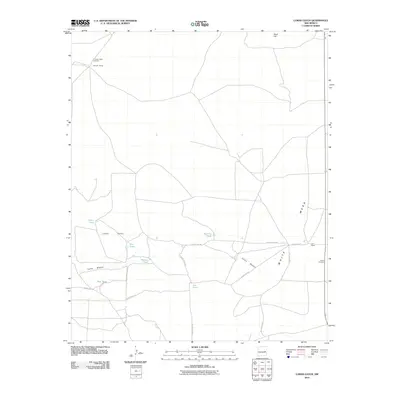 2010 Lomas Gatos2010 Print · USGSDe Baca County ranch lands are captured here in the early twenty-first century, showcasing a vast network of cattle operations and water tanks. Genealogists and local historians can locate the Blanco Cemetery and trace the boundaries of the Triangle Ranch and Hall Ranch.
 - 2010 Map of Ramon SW, 2010 Print
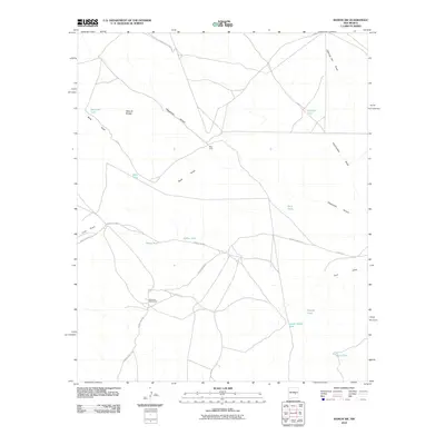 2010 Ramon SW2010 Print · USGSChaves County's high plains are documented here in the early 2000s, showing a landscape shaped by ranching and seasonal water. Researchers can trace rural infrastructure through isolated outposts like West Camp, Shearing Shed Camp, and landmarks like Natural Bridge.
 - 2010 Map of Wire Lake, 2010 Print
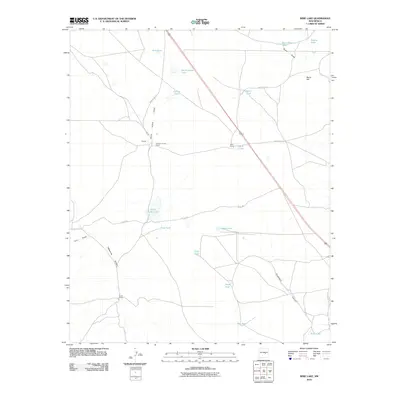 2010 Wire Lake2010 Print · USGSChaves County ranching operations are documented here in the early twenty-first century, showing the critical water infrastructure of the high desert. Researchers can trace the boundaries of Halfway House Ranch and Boot Ranch or locate remote sites like South Camp and Wire Lake.
 - 2010 Map of Yeso, 2010 Print
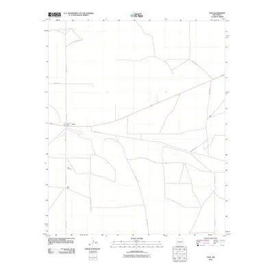 2010 Yeso2010 Print · USGSThe community of Yeso is captured here as it appeared in the early 2000s, centered on its post office and the rail line. Researchers can trace local lineage at the Yeso Cemetery or locate historically significant properties such as Hisel Ranch and Long Ranch.
 - 2010 Map of Twin Mesa NW, 2010 Print
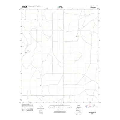 2010 Twin Mesa NW2010 Print · USGSDe Baca County ranching country is captured here in the early 2000s, showing a landscape defined by watercourses and large family estates. Researchers can locate established landmarks like Locust Grove Cemetery, Carter Ranch, and the winding Arroyo de Anil.
 - 2010 Map of Dunlap NE, 2010 Print
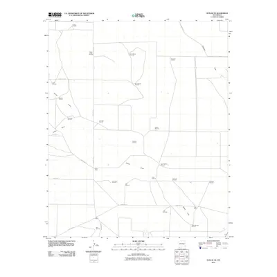 2010 Dunlap NE2010 Print · USGSDe Baca County ranching lands are mapped here in the early 2000s, showing a landscape defined by water and wide-open ranges. Genealogists and local historians can locate family holdings like Steele Ranch and Key Ranch or the burial grounds at Engleville Cemetery.
 - 2010 Map of Fort Sumner West, 2010 Print
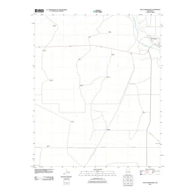 2010 Fort Sumner West2010 Print · USGSThe Pecos River valley at the turn of the millennium reveals a landscape of isolated ranching outposts and vital water infrastructure. Researchers can trace land ownership and development through named sites like Steele Ranch, McCollum Ranch, and the New Eclipse Windmill.
 - 2010 Map of El Morro Ranch, 2010 Print
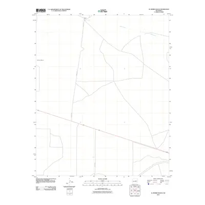 2010 El Morro Ranch2010 Print · USGSGuadalupe County ranching country is documented here in the early twenty-first century. Researchers can trace the rural landscape through family-named landmarks like El Morro Ranch and the geographic feature of Sotano Blanco.
 - 2010 Map of Dunlap, 2010 Print
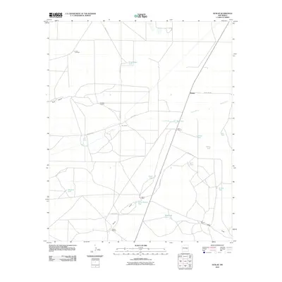 2010 Dunlap2010 Print · USGSDe Baca County ranching life is preserved in this study of the plains and draws during the early twenty-first century. Researchers can trace historic water sources and isolated homesteads like Key Ranch, Mora Springs, and the namesake settlement of Dunlap.
 - 2010 Map of Howell Ranch, 2010 Print
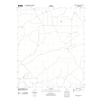 2010 Howell Ranch2010 Print · USGSRanching life in Chaves County is documented here during the early twenty-first century, showing a landscape shaped by water and wide-open spaces. Genealogists and historians can locate family-named sites like Howell Ranch and a network of essential water sources including Ashbacker Windmill and Cordell Windmill.
 - 2010 Map of Alamo Ranch, 2010 Print
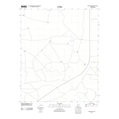 2010 Alamo Ranch2010 Print · USGSDe Baca County ranching country is captured here during the early twenty-first century, showing a landscape defined by sparse water sources. Researchers can trace the essential infrastructure of the high plains, from Alamo Ranch to named landmarks like Pennington Well and Miles Windmill.
 - 2010 Map of West Camp, 2010 Print
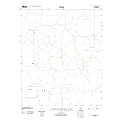 2010 West Camp2010 Print · USGSHigh plains ranching life in De Baca County is captured here in the first decade of the millennium. Researchers can trace land tracts near Weston Ranch and locate remote water landmarks like Lower End Windmill and Yeso Creek.
 - 2010 Map of Ramon, 2010 Print
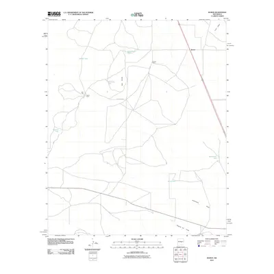 2010 Ramon2010 Print · USGSLincoln County ranching life is preserved here in the early twenty-first century, showing a landscape shaped by water management. Genealogists and historians can locate family landmarks like Simpson Ranch, Merritt Ranch, and the waters of Schoolhouse Tank.
 - 2010 Map of Yeso Mesa SE, 2010 Print
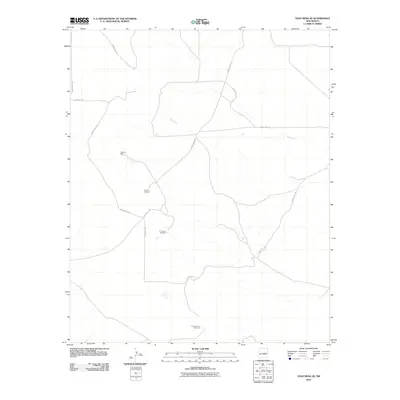 2010 Yeso Mesa SE2010 Print · USGSDe Baca County ranch lands are documented here in the early twenty-first century, showing a terrain shaped by water access and rural tracks. Researchers can trace the layout of local grazing operations through landmarks like Johnson Well and C C Camp Windmill.
 - 2010 Map of Devils Well, 2010 Print
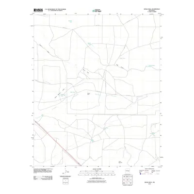 2010 Devils Well2010 Print · USGSDe Baca County ranching country is documented here in the early twenty-first century, showing a landscape defined by vital water sources. Researchers can trace the drainage of Arroyo Mora and locate named livestock catchments like Devils Well, Baker Tank, and Bone Tank.
Showing maps 1-25 of 168
Top cities of De Baca County
Frequently asked questions
- What are the different types of historical maps available for De Baca County?
- What is the oldest map of De Baca County?
- Where can I purchase historical maps of De Baca County for my home or office?
- Where can I download high-res historical maps of De Baca County?
- Are there historical topographic maps available for De Baca County?
- Is there historical aerial imagery available for De Baca County?
- Where are historical maps of De Baca County sourced from?