2010s Maps of Harding County, New Mexico
Explore 150 historic maps of Harding County from the 2010s. These maps offer a rare glimpse into what life looked like during the 2010s — showing old roads, neighborhoods, homes, and landmarks that have changed or disappeared over time.
Whether you're researching your family's past, planning a metal detecting trip, or studying how Harding County's landscape evolved across the 2010s, these high-resolution maps are a powerful tool for exploring the history of this region.
- Focus on a specific era: All maps on this page are from the 2010s, giving you a focused view of this time period.
- See what’s changed: Compare century-old streets, trails, and buildings to today's modern landscape using overlays and satellite layers.
- Research with precision: Use these maps for genealogy, historical research, land use analysis, or educational projects.
- View, download, or print: Maps are fully viewable online in high resolution, and can be downloaded or printed for your own records.
Start exploring Harding County's history through authentic maps from the 2010s. This is your window into the past.
Harding County, NM maps
(150)- 2010 Map of Minnie Butte, 2010 Print
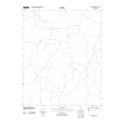 2010 Minnie Butte2010 Print · USGSUnion County during the early 2000s remains a landscape of wide-open ranching country and intermittent stream beds. Genealogists and local historians can trace the rural road network connecting Miera, Jeffrey, and landmarks like Minnie Butte.
 - 2010 Map of Beenham SW, 2010 Print
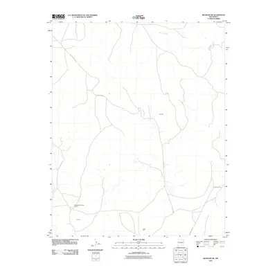 2010 Beenham SW2010 Print · USGSThe high plains of Union County are captured here in the early twenty-first century, showcasing a landscape defined by ranching and resource extraction. Researchers can locate family landmarks like Harlan Vigil or trace the roads surrounding Campbell and the Bueyeros CO2 Plant Airport.
 - 2010 Map of Aragon Hill, 2010 Print
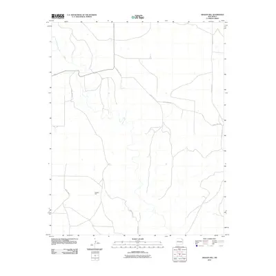 2010 Aragon Hill2010 Print · USGSUnion County's high plains remain a dedicated ranching landscape in the first decade of the new millennium. Researchers can trace the drainage of Ute Creek or navigate the remote junctions of Aragon Hill and County Hwy C-013.
 - 2010 Map of Yates, 2010 Print
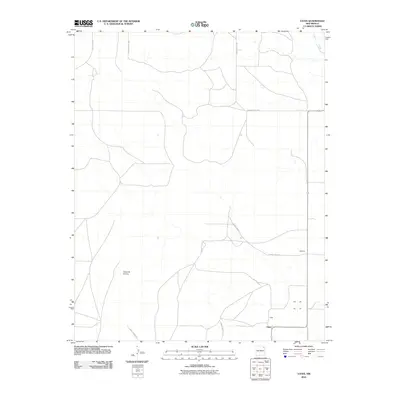 2010 Yates2010 Print · USGSThe ranching country of northeastern New Mexico is documented here in the early twenty-first century. Researchers can trace the rural road networks and property access points connecting Yates, Martinez, and the landmark Cerro de la Cruz.
 - 2010 Map of Yates SE, 2010 Print
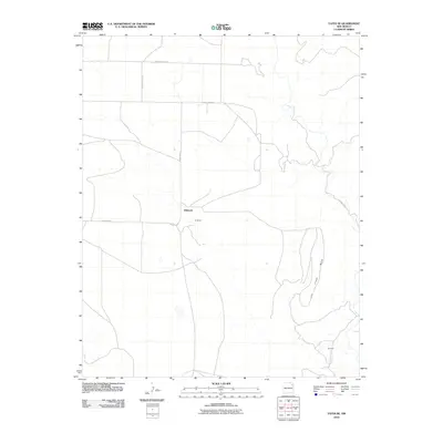 2010 Yates SE2010 Print · USGSHarding County ranching country is documented here during the early twenty-first century, showing a landscape defined by the high tablelands and intermittent water. Researchers can trace local names like Dehaven and Gonzales or follow the path of Ute Creek as it cuts past the local Mesa.
 - 2010 Map of Solano, 2010 Print
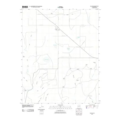 2010 Solano2010 Print · USGSLife on the high plains of Harding County centers on the crossroads at Solano during the early twenty-first century. Researchers can trace remote ranching outposts and family-named landmarks like Trujillo Camp, Leatherman Windmill, and the Solano Cemetery.
 - 2010 Map of Canon Encierro, 2010 Print
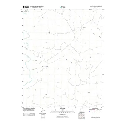 2010 Canon Encierro2010 Print · USGSSan Miguel County ranching country is documented here in the early twenty-first century, showing the canyons and mesas east of the Canadian River. Family history researchers can locate remote burial sites including Armenta Plaza Cemetery and Calvert Cemetery near the W-3 Cattle Company.
 - 2010 Map of Roy, 2010 Print
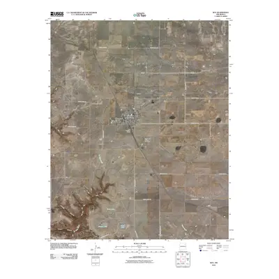 2010 Roy2010 Print · USGSThe village of Roy is documented here at the start of the 2010s, showing its enduring role as a high plains crossroads. Researchers can trace local landmarks like Roy Cemetery or follow the terrain into Cañon Blanco and Sawmill Canyon.
 - 2010 Map of Kansas Valley Lake, 2010 Print
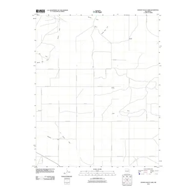 2010 Kansas Valley Lake2010 Print · USGSThe high plains of Harding County are captured here in the early twenty-first century, showcasing a rural ranching landscape. Genealogists and historians can locate the Johnson Cemetery or trace the family-named locales of Alexander, Hicks, and Bouleware.
 - 2010 Map of La Cinta Canyon, 2010 Print
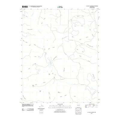 2010 La Cinta Canyon2010 Print · USGSSan Miguel County ranching country is captured here in the early twenty-first century, showing a landscape shaped by deep canyons and high mesas. Genealogists can locate family landmarks like the Kelly Cemetery and rural outposts such as Laumbach and Prichard.
 - 2010 Map of Canon Las Cuevas, 2010 Print
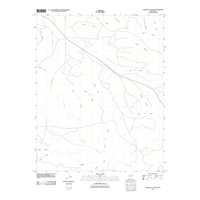 2010 Canon Las Cuevas2010 Print · USGSHarding County ranching country is mapped here during the early twenty-first century, showing a landscape defined by its deep canyon drainages. Genealogists and local historians can trace the paths of Mills Canyon Rd past landmarks like the Thompson Windmill and Cañon las Cuevas.
 - 2010 Map of Alamito, 2010 Print
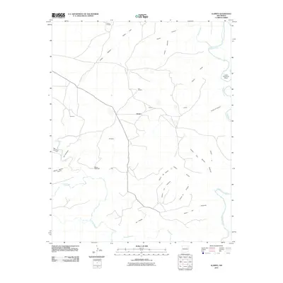 2010 Alamito2010 Print · USGSThe high mesa country of Mora County comes into focus in this early twenty-first century survey of the Alamito area. Researchers can trace the ranching landscape through landmarks like McDaniels, Mensor Windmill, and the winding Lower Horseshoe Bend of the Canadian River.
 - 2010 Map of McCloy Ranch, 2010 Print
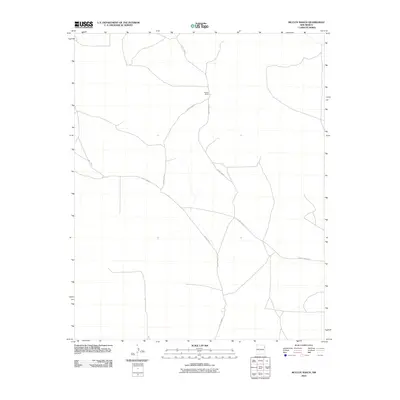 2010 McCloy Ranch2010 Print · USGSUnion County ranching country is documented here in the early twenty-first century, showing a landscape defined by isolation and long-distance connectivity. Trace the remote network of County Road G and County Road I leading to the McCloy Ranch.
 - 2010 Map of Sabino, 2010 Print
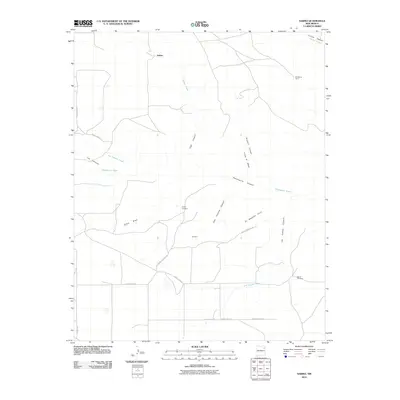 2010 Sabino2010 Print · USGSHarding County ranching land and the high plains are shown here in the early twenty-first century. Genealogists and local historians can locate remote family landmarks like the Trujillo Cemetery, Garcia Cemetery, and the settlement at Sabino.
 - 2010 Map of Logan North, 2010 Print
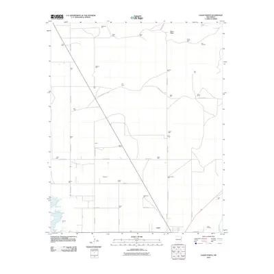 2010 Logan North2010 Print · USGSNear the banks of the Canadian River in the early twenty-first century, this area of Quay County shows a landscape of expansive ranching and water infrastructure. Genealogists and local historians can locate family landmarks like Mathis Ranch and Bates Place, or trace burial records at the Logan Cemetery.
 - 2010 Map of Medina Mesa, 2010 Print
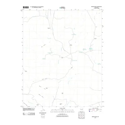 2010 Medina Mesa2010 Print · USGSSan Miguel County ranchlands are captured here in the early 2000s, showing a landscape defined by mesa-top grazing and deep canyons. Researchers can locate remote stock-water sites and ranching landmarks like Trigg Ranch, Atarque Corrals, and Medina Windmill.
 - 2010 Map of Hampton Ranch, 2010 Print
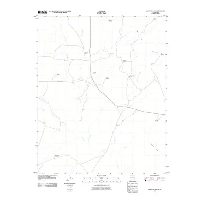 2010 Hampton Ranch2010 Print · USGSSan Miguel County ranching country is captured here during the early twenty-first century, showing a landscape defined by isolated outposts and vital water sources. Genealogists and historians can trace the locations of Bryantine Cemetery, McCuistion Camp, and many family-named landmarks like John Pool Windmill.
 - 2010 Map of Montesito Creek, 2010 Print
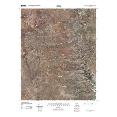 2010 Montesito Creek2010 Print · USGSHarding County ranching country is captured here during the first decade of the new millennium, showing a landscape defined by vital water sources. Researchers can locate remote sites like Alamosa Cemetery, Chacon Camp, and the northern reaches of Ute Reservoir.
 - 2010 Map of Ione, 2010 Print
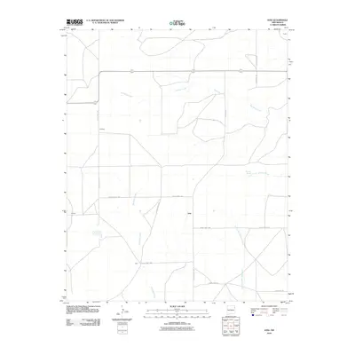 2010 Ione2010 Print · USGSUnion County's high plains landscape comes into focus during the early 2000s, showing a territory defined by ranching outposts and seasonal watercourses. Researchers can trace the layout of small locales like Ione, Childress, and Forester along the banks of Bob Wells Creek.
 - 2010 Map of Chinaberry Canyon, 2010 Print
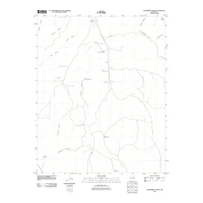 2010 Chinaberry Canyon2010 Print · USGSSan Miguel County ranching country is captured here in the early twenty-first century, showing the remote settlement of Cabeza. Researchers can trace vital water sources and landmarks like the Juarez Windmill, Upper Rattlesnake Tank, and Medio Creek.
 - 2010 Map of Bueyeros, 2010 Print
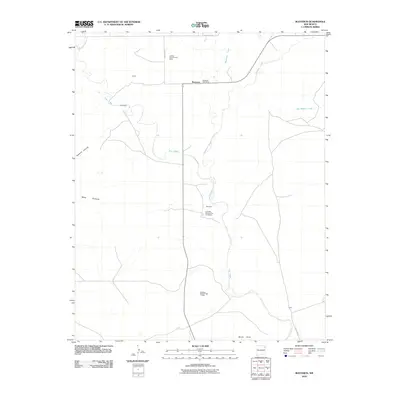 2010 Bueyeros2010 Print · USGSHarding County ranching country is documented here at the start of the 2010s, centered on the Ute Creek drainage. Researchers can trace family-named locales and property tracts like Miera, Libby, and the Bueyeros Post Office.
 - 2010 Map of Arroyo Del Alamo, 2010 Print
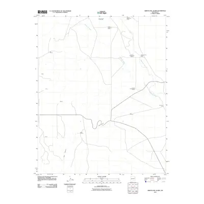 2010 Arroyo Del Alamo2010 Print · USGSIn the high plains of Harding County during the early twenty-first century, ranching outposts and carbonic extraction sites define the landscape. Researchers can trace family history through the David Cemetery or locate old ranching markers like Bar T Cross Camp and Jake Windmill.
 - 2010 Map of Buffalo Springs, 2010 Print
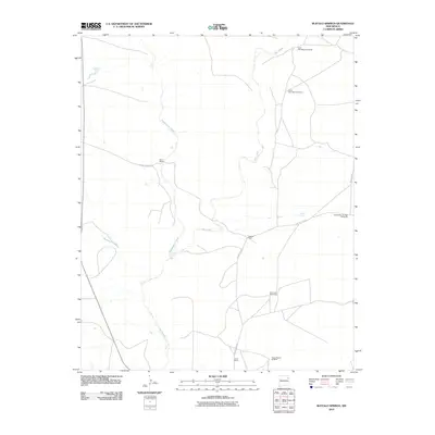 2010 Buffalo Springs2010 Print · USGSHarding County ranching country is documented here in the early twenty-first century, showing a landscape defined by water and wind. Researchers can trace historic family-held lands like the Baca Ranch and Casados Ranch alongside vital water sources such as Buffalo Springs.
 - 2010 Map of Fuentes Ranch, 2010 Print
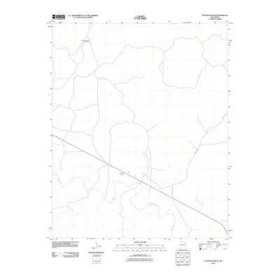 2010 Fuentes Ranch2010 Print · USGSHarding County ranching land in the early twenty-first century is defined by its isolation and scattered water sources. Researchers can trace the layout of private holdings like Fuentes Ranch and locate landmarks such as South Honeycutt Windmill and the settlement of Cluck.
 - 2010 Map of Albert, 2010 Print
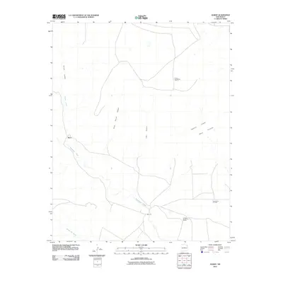 2010 Albert2010 Print · USGSThe ranchlands of Harding County appear in this recent survey, showcasing a landscape of deep canyons and mesa plateaus. Genealogists and researchers can locate the site of Albert and Albert P O near the waters of Tequesquite Creek and Carrizo Canyon.
Showing maps 1-25 of 150
Top cities of Harding County
Frequently asked questions
- What are the different types of historical maps available for Harding County?
- What is the oldest map of Harding County?
- Where can I purchase historical maps of Harding County for my home or office?
- Where can I download high-res historical maps of Harding County?
- Are there historical topographic maps available for Harding County?
- Is there historical aerial imagery available for Harding County?
- Where are historical maps of Harding County sourced from?