2020s Maps of Harding County, New Mexico
Explore 100 historic maps of Harding County from the 2020s. These maps offer a rare glimpse into what life looked like during the 2020s — showing old roads, neighborhoods, homes, and landmarks that have changed or disappeared over time.
Whether you're researching your family's past, planning a metal detecting trip, or studying how Harding County's landscape evolved across the 2020s, these high-resolution maps are a powerful tool for exploring the history of this region.
- Focus on a specific era: All maps on this page are from the 2020s, giving you a focused view of this time period.
- See what’s changed: Compare century-old streets, trails, and buildings to today's modern landscape using overlays and satellite layers.
- Research with precision: Use these maps for genealogy, historical research, land use analysis, or educational projects.
- View, download, or print: Maps are fully viewable online in high resolution, and can be downloaded or printed for your own records.
Start exploring Harding County's history through authentic maps from the 2020s. This is your window into the past.
Harding County, NM maps
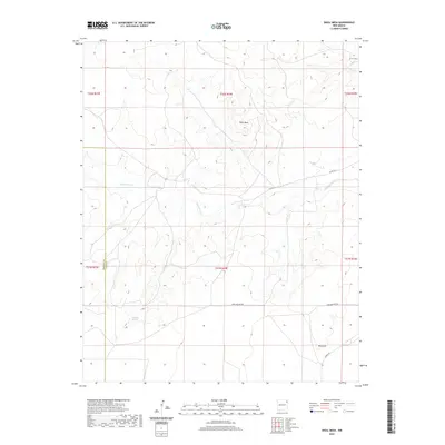
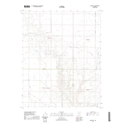
(100)- 2020 Map of Mills East, 2020 Print
 2020 Mills East2020 Print · USGSCovers Harding County, including United States, New Mexico, and other nearby areas
 - 2020 Map of Divine Lake, 2020 Print
 2020 Divine Lake2020 Print · USGSCovers Harding County, including Union County, Colfax County, and other nearby areas
 - 2020 Map of Canon Colorado, 2020 Print
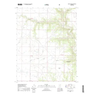 2020 Canon Colorado2020 Print · USGSCovers Harding County, including Mora County, United States, and other nearby areas
 - 2020 Map of Abbott Lake, 2020 Print
 2020 Abbott Lake2020 Print · USGSCovers Harding County, including Colfax County, United States, and other nearby areas
 - 2020 Map of Kansas Valley, 2020 Print
 2020 Kansas Valley2020 Print · USGSCovers Harding County, including United States, New Mexico, and other nearby areas
 - 2020 Map of Jaritas Ranch, 2020 Print
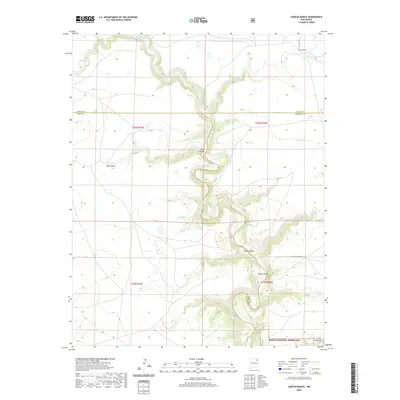 2020 Jaritas Ranch2020 Print · USGSCovers Harding County, including Colfax County, Mora County, and other nearby areas
 - 2020 Map of Mills West, 2020 Print
 2020 Mills West2020 Print · USGSCovers Harding County, including Mills, Mora County, and other nearby areas
 - 2020 Map of Spear Hills, 2020 Print
 2020 Spear Hills2020 Print · USGSCovers Harding County, including Colfax County, United States, and other nearby areas
 - 2020 Map of Yates SE, 2020 Print
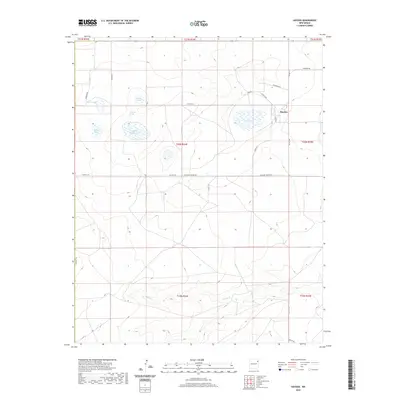
 2020 Yates SE2020 Print · USGSCovers Harding County, including Dehaven, Union County, and other nearby areas
 - 2020 Map of Yates, 2020 Print
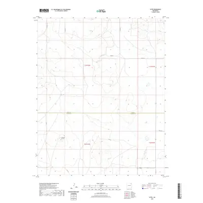 2020 Yates2020 Print · USGSCovers Harding County, including Yates, Union County, and other nearby areas
 - 2020 Map of Skull Mesa, 2020 Print
 2020 Skull Mesa2020 Print · USGSCovers Harding County, including Union County, United States, and other nearby areas
 - 2020 Map of Aragon Hill, 2020 Print
 2020 Aragon Hill2020 Print · USGSCovers Harding County, including Union County, United States, and other nearby areas
 - 2020 Map of Beenham SW, 2020 Print
 2020 Beenham SW2020 Print · USGSCovers Harding County, including Union County, United States, and other nearby areas
 - 2020 Map of Pedernal Creek, 2020 Print
 2020 Pedernal Creek2020 Print · USGSCovers Harding County, including Union County, United States, and other nearby areas
 - 2020 Map of Minnie Butte, 2020 Print
 2020 Minnie Butte2020 Print · USGSCovers Harding County, including Miera, Union County, and other nearby areas
 - 2020 Map of Salitre Canyon, 2020 Print
 2020 Salitre Canyon2020 Print · USGSCovers Harding County, including San Miguel County, United States, and other nearby areas
 - 2020 Map of Alamosa Canyon, 2020 Print
 2020 Alamosa Canyon2020 Print · USGSCovers Harding County, including San Miguel County, United States, and other nearby areas
 - 2020 Map of Logan North, 2020 Print
 2020 Logan North2020 Print · USGSCovers Harding County, including Bates Place, Quay County, and other nearby areas
 - 2020 Map of Chinaberry Canyon, 2020 Print
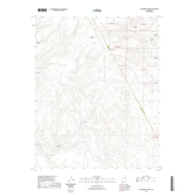 2020 Chinaberry Canyon2020 Print · USGSCovers Harding County, including San Miguel County, United States, and other nearby areas
 - 2020 Map of Bueyeros, 2020 Print
 2020 Bueyeros2020 Print · USGSCovers Harding County, including Bueyeros, United States, and other nearby areas
 - 2020 Map of Cottonwood Springs, 2020 Print
 2020 Cottonwood Springs2020 Print · USGSCovers Harding County, including Union County, United States, and other nearby areas
 - 2020 Map of Medina Mesa, 2020 Print
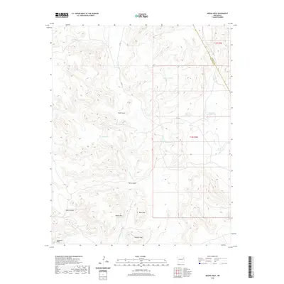 2020 Medina Mesa2020 Print · USGSCovers Harding County, including San Miguel County, United States, and other nearby areas
 - 2020 Map of McCloy Ranch, 2020 Print
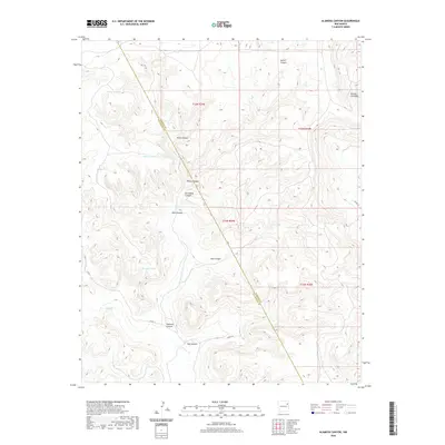
 2020 McCloy Ranch2020 Print · USGSCovers Harding County, including Union County, Quay County, and other nearby areas
 - 2020 Map of Hayden, 2020 Print
 2020 Hayden2020 Print · USGSCovers Harding County, including Hayden, Union County, and other nearby areas
 - 2020 Map of Solano, 2020 Print
 2020 Solano2020 Print · USGSCovers Harding County, including Solano, San Miguel County, and other nearby areas
Showing maps 1-25 of 100
Top cities of Harding County
Frequently asked questions
- What are the different types of historical maps available for Harding County?
- What is the oldest map of Harding County?
- Where can I purchase historical maps of Harding County for my home or office?
- Where can I download high-res historical maps of Harding County?
- Are there historical topographic maps available for Harding County?
- Is there historical aerial imagery available for Harding County?
- Where are historical maps of Harding County sourced from?