2010s Maps of McKinley County, New Mexico
Explore 370 historic maps of McKinley County from the 2010s. These maps offer a rare glimpse into what life looked like during the 2010s — showing old roads, neighborhoods, homes, and landmarks that have changed or disappeared over time.
Whether you're researching your family's past, planning a metal detecting trip, or studying how McKinley County's landscape evolved across the 2010s, these high-resolution maps are a powerful tool for exploring the history of this region.
- Focus on a specific era: All maps on this page are from the 2010s, giving you a focused view of this time period.
- See what’s changed: Compare century-old streets, trails, and buildings to today's modern landscape using overlays and satellite layers.
- Research with precision: Use these maps for genealogy, historical research, land use analysis, or educational projects.
- View, download, or print: Maps are fully viewable online in high resolution, and can be downloaded or printed for your own records.
Start exploring McKinley County's history through authentic maps from the 2010s. This is your window into the past.
McKinley County, NM maps
(370)- 2010 Map of Upper Galestina Canyon, 2010 Print
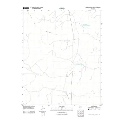 2010 Upper Galestina Canyon2010 Print · USGSMcKinley County's high-desert landscape is documented here in the early twenty-first century, highlighting essential water and transit infrastructure. Researchers can trace the routes of Indian Service Route 13 and locate the ECW Number 7 Windmill near several local reservoirs.
 - 2010 Map of East of Grey Hill Spring, 2010 Print
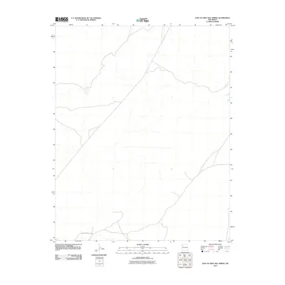 2010 East of Grey Hill Spring2010 Print · USGSThe high desert landscape of New Mexico is captured here in the first decade of the millennium. Local history enthusiasts can trace the path of Indian Service Route 9652 as it winds through this remote sector of the Fort Defiance Agency.
 - 2010 Map of Kin Klizhin Ruins, 2010 Print
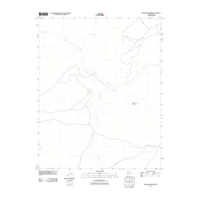 2010 Kin Klizhin Ruins2010 Print · USGSThe Eastern Navajo Agency in the early 2000s remains a landscape of deep cultural history and desert watercourses. Researchers can trace the drainage of Kin Klizhin Wash and Chaco River or locate the Bisa'ani Archaeological District.
 - 2010 Map of West of La Vida Mission, 2010 Print
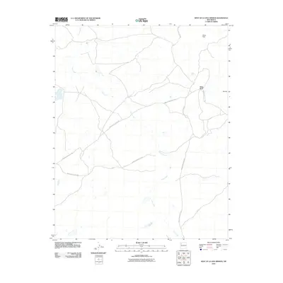 2010 West of La Vida Mission2010 Print · USGSThe high desert landscape west of the La Vida Mission is captured here as it appeared in the early 2000s. Researchers can trace the path of Indian Creek or locate landmarks like White Rock and the service roads Indian Service Route 7080 and Indian Service Route 108.
 - 2010 Map of Crystal, 2010 Print
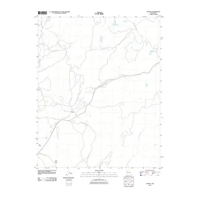 2010 Crystal2010 Print · USGSThe Shiprock Agency region in the early 2000s reveals a complex network of interior roads and high-country waterways. Genealogists and historians can trace the vital transit routes and settlements of Crystal, the waters of Todacheene Lake, and the geography of Red Valley.
 - 2010 Map of Ojo Caliente Reservoir, 2010 Print
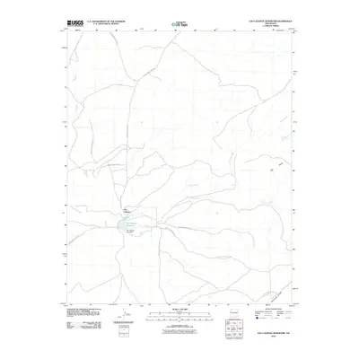 2010 Ojo Caliente Reservoir2010 Print · USGSOjo Caliente and its surrounding tribal lands are captured here during the first decade of the new millennium. Researchers can trace the vital water sources and travel corridors of the area, including Sacred Spring, the Ojo Caliente Lake Dam, and several Indian Service Routes.
 - 2010 Map of Naschitti, 2010 Print
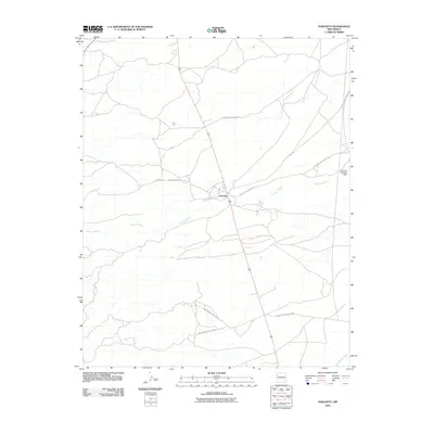 2010 Naschitti2010 Print · USGSThe high-desert community of Naschitti is captured in the early 2000s, showing a landscape defined by seasonal washes and critical water management. Researchers can trace the paths of Indian Service Route 69 and locate the Southern Naschitti Dam along the banks of Naschitti Wash.
 - 2010 Map of Shoemaker Canyon, 2010 Print
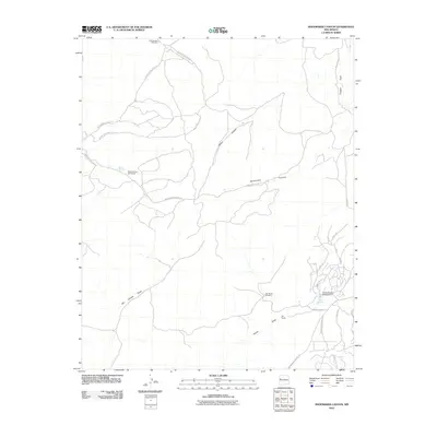 2010 Shoemaker Canyon2010 Print · USGSThe Eastern Navajo Agency in the early 2000s shows a landscape of deep canyons and seasonal draws. Trace the rural developments around Aragon Springs and Ojo Pueblo, or locate landmarks like the Candy Kitchen Ranch Airport.
 - 2010 Map of Grey Hill Spring, 2010 Print
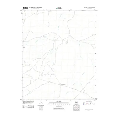 2010 Grey Hill Spring2010 Print · USGSThe high desert of New Mexico comes to life in this early twenty-first-century survey of the Navajo Nation. Local historians and researchers can trace vital water sources like Grey Hill Spring and the significant Whirlwind Lake Archaeological District.
 - 2010 Map of Seven Lakes SE, 2010 Print
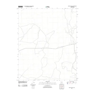 2010 Seven Lakes SE2010 Print · USGSThe Eastern Navajo Agency at the turn of the decade is defined by its arid drainage basins and isolated desert roads. Researchers can trace the primary corridors of travel and water through this terrain via Fajada Wash, Indian Service Route 7017, and Sandspring Rd.
 - 2010 Map of Seven Lakes, 2010 Print
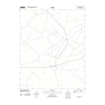 2010 Seven Lakes2010 Print · USGSThe Eastern Navajo Agency in the early 21st century is defined by high-desert ranching and ancient history. Researchers can trace the layout of the Bee Burrow Archaeological District and locate isolated outposts like Ruby Wells Ranch and Seven Lakes.
 - 2010 Map of Lybrook SE, 2010 Print
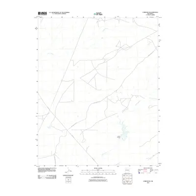 2010 Lybrook SE2010 Print · USGSThe Eastern Navajo Agency landscape in the 2010s reveals a network of high-desert infrastructure and seasonal arroyos. Researchers can trace the routes of Indian Service Rte 46 and Pipeline Rd past landmarks like the Alamos Detention Dam.
 - 2010 Map of Seven Lakes NE, 2010 Print
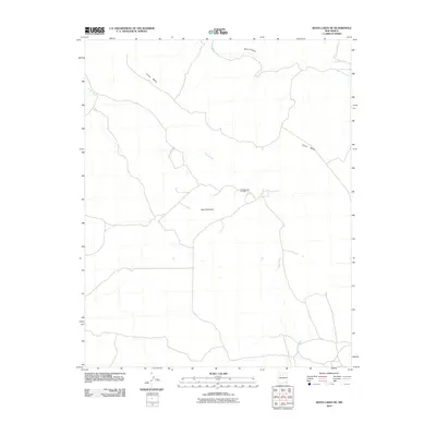 2010 Seven Lakes NE2010 Print · USGSThe Eastern Navajo Agency landscape is documented here in the early twenty-first century, showing a mix of striking natural landforms and energy industry. Trace the winding paths of Chaco Wash near Chaco Canyon or locate the Red Mountain Oil Field.
 - 2010 Map of Bluewater, 2010 Print
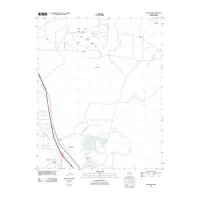 2010 Bluewater2010 Print · USGSIn the early twenty-first century, the High Desert landscape of west-central New Mexico reveals a deep history of uranium mining and rail transport. Researchers can trace the industrial footprint of the Anaconda Bluewater Mill and family-named operations like the Hoskins and Robinson Pit.
 - 2010 Map of Seven Lakes NW, 2010 Print
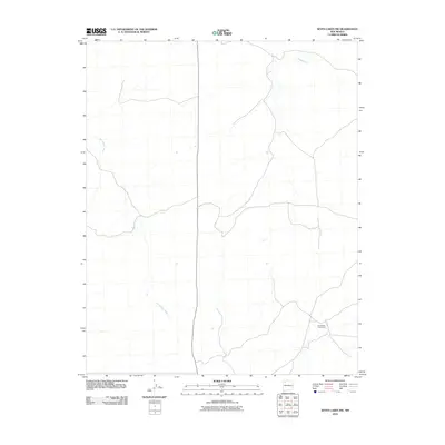 2010 Seven Lakes NW2010 Print · USGSTribal land management and desert hydrology define this portion of the Eastern Navajo Agency during the early twenty-first century. Researchers can trace the expansive The Navajo Tribe Ranch and the natural drainage patterns of Kin Klizhin Wash and Fajado Wash.
 - 2010 Map of Sargent Ranch, 2010 Print
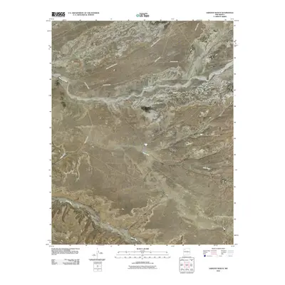 2010 Sargent Ranch2010 Print · USGSSargent Ranch and the Eastern Navajo Agency are captured here during the early twenty-first century, showing a landscape defined by its deep canyons and dry washes. Trace the geography of Chaco Canyon and the surrounding basin through features like Sleepy Grass Dam and Chacra Mesa.
 - 2010 Map of Pueblo Bonito, 2010 Print
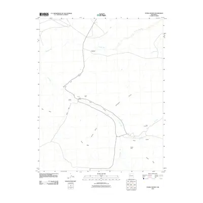 2010 Pueblo Bonito2010 Print · USGSNew Mexico's high-desert canyon lands come into focus during this modern survey of the Eastern Navajo Agency. Researchers can trace the layout of world-renowned sites like Pueblo Bonito and Chettro Kettle alongside geographic landmarks like Fajada Butte.
 - 2010 Map of Laguna Castillo, 2010 Print
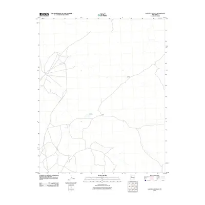 2010 Laguna Castillo2010 Print · USGSThe Eastern Navajo Agency landscape in the early 2000s shows a region of sparse ranching settlements and critical water points. Researchers can trace the paths of Indian Service Route 481 and find landmarks like South Ranch and Hardpan Windmill.
 - 2010 Map of Sonsela Buttes, 2010 Print
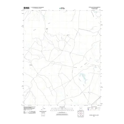 2010 Sonsela Buttes2010 Print · USGSThe high borderlands of the Arizona-New Mexico line are captured here in the early twenty-first century, showcasing a landscape of volcanic buttes and ranching outposts. Trace local genealogy and land use through Chee Dodge Ranch, the settlement of Milkwater, and the vital waters of Black Lake.
 - 2010 Map of Thoreau, 2010 Print
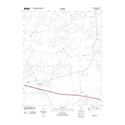 2010 Thoreau2010 Print · USGSThe settlement of Thoreau and its surrounding high-desert plateau are captured here in 2010, showcasing a landscape of mineral deposits and rural infrastructure. Genealogists and historians can trace local homesteads near North Chaves and industrial sites like the Largo Uranium Deposit.
 - 2010 Map of Gallup West, 2010 Print
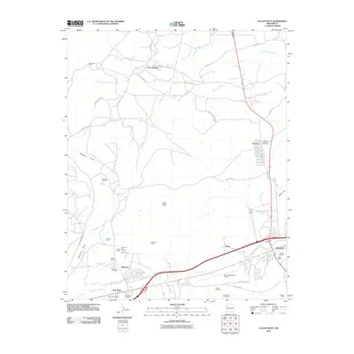 2010 Gallup West2010 Print · USGSWest of Gallup in the early 2000s, this landscape reveals a dense history of coal extraction and rail-and-road transport. Researchers can trace numerous historic mining sites like Gamerco and the Mentmore Coal Mine, alongside local landmarks such as Hillcrest Cemetery.
 - 2010 Map of Milk Lake, 2010 Print
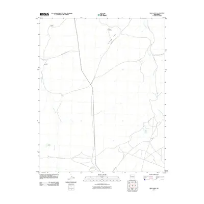 2010 Milk Lake2010 Print · USGSThe high-desert ranchlands of the Eastern Navajo Agency are documented here in the early twenty-first century. Genealogists and historians can trace the remote I K Ranch and the vital network of local water sources like Milk Lake and Windmill Number 4.
 - 2010 Map of Tekapo, 2010 Print
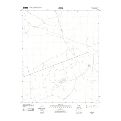 2010 Tekapo2010 Print · USGSThe McKinley County high desert in the early 2000s is defined by tribal infrastructure and ranching outposts. Researchers can trace the network of Indian Service Routes connecting Tekapo, Bosson Ranch, and the Tekapo Reservoir.
 - 2010 Map of Togeye Lake, 2010 Print
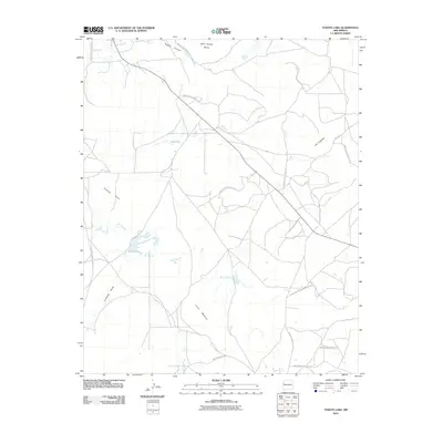 2010 Togeye Lake2010 Print · USGSThe high desert terrain of the Eastern Navajo Agency is meticulously detailed in this early 21st-century survey. Researchers can trace the network of Indian Service Routes across landmarks like Wild Sheep Mesa, Togeye Lake, and Los Gigantes.
 - 2010 Map of Samson Lake, 2010 Print
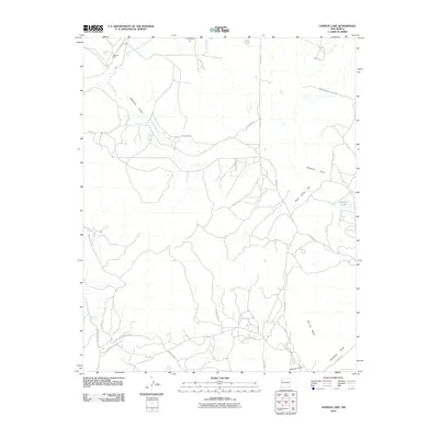 2010 Samson Lake2010 Print · USGSThe Eastern Navajo Agency landscape at the start of the 21st century reveals a complex world of industrial mining and desert water sources. Trace the land around the McKinley Mine or locate historical points like Manuelito Spring and Samson Lake.
Showing maps 1-25 of 370
Top cities of McKinley County
Frequently asked questions
- What are the different types of historical maps available for McKinley County?
- What is the oldest map of McKinley County?
- Where can I purchase historical maps of McKinley County for my home or office?
- Where can I download high-res historical maps of McKinley County?
- Are there historical topographic maps available for McKinley County?
- Is there historical aerial imagery available for McKinley County?
- Where are historical maps of McKinley County sourced from?