2020s Maps of McKinley County, New Mexico
Explore 233 historic maps of McKinley County from the 2020s. These maps offer a rare glimpse into what life looked like during the 2020s — showing old roads, neighborhoods, homes, and landmarks that have changed or disappeared over time.
Whether you're researching your family's past, planning a metal detecting trip, or studying how McKinley County's landscape evolved across the 2020s, these high-resolution maps are a powerful tool for exploring the history of this region.
- Focus on a specific era: All maps on this page are from the 2020s, giving you a focused view of this time period.
- See what’s changed: Compare century-old streets, trails, and buildings to today's modern landscape using overlays and satellite layers.
- Research with precision: Use these maps for genealogy, historical research, land use analysis, or educational projects.
- View, download, or print: Maps are fully viewable online in high resolution, and can be downloaded or printed for your own records.
Start exploring McKinley County's history through authentic maps from the 2020s. This is your window into the past.
McKinley County, NM maps
(233)- 2020 Map of Surrender Canyon, 2020 Print
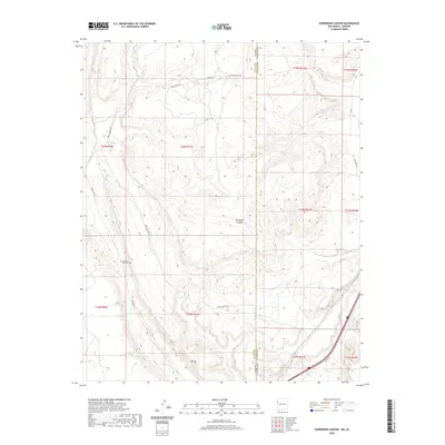 2020 Surrender Canyon2020 Print · USGSThe Arizona and New Mexico borderland at the edge of the Fort Defiance Agency is captured here in the contemporary era. Researchers can trace landforms like Tea Pot and Surrender Canyon alongside modern routes like Indian Rte 12.
 - 2020 Map of Ojo Caliente Reservoir, 2020 Print
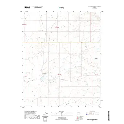 2020 Ojo Caliente Reservoir2020 Print · USGSOjo Caliente and the surrounding high-desert plateau of western New Mexico are captured here in the early twenty-first century. Researchers can trace the essential water network of Sacred Spring, Rainbow Spring, and the Ojo Caliente Reservoir along Plumasano Wash.
 - 2020 Map of Upper Galestina Canyon, 2020 Print
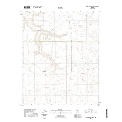 2020 Upper Galestina Canyon2020 Print · USGSMcKinley and Cibola counties meet in this high-desert landscape during the early 2020s. Researchers can trace the water-management systems of Upper Galestina Canyon through remote sites like Upper Galestina Number 7 Reservoir.
 - 2020 Map of Laguna Seca, 2020 Print
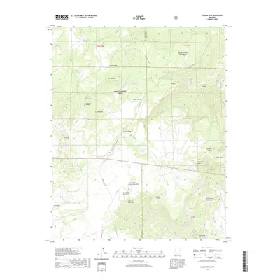 2020 Laguna Seca2020 Print · USGSMcKinley and Sandoval Counties are captured in this modern survey of high mesa country within the Cibola National Forest. Researchers can trace old forest roads and vital water sources like Eagle Nest Tank, Ojo Frio, and Guadalupe Spring.
 - 2020 Map of Seven Lakes NE, 2020 Print
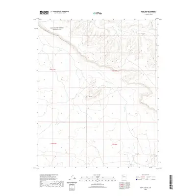 2020 Seven Lakes NE2020 Print · USGSMcKinley County's high-desert canyons and plateaus are preserved in this recent survey of the Eastern Navajo Agency region. Researchers can trace the boundaries of the Chaco Culture National Historical Park and locate landforms like Chacra Mesa and Red Mtn.
 - 2020 Map of Laguna Canoneros, 2020 Print
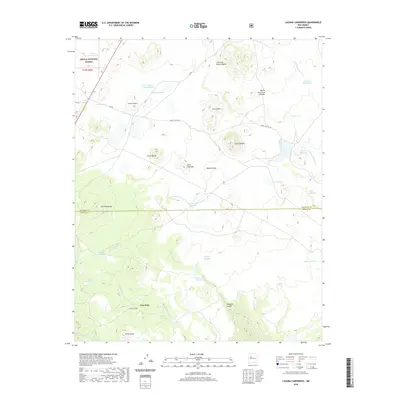 2020 Laguna Canoneros2020 Print · USGSThe high plateaus of the Cibola and McKinley county line are documented here in 2020, revealing a landscape of seasonal catchments and volcanic peaks. Researchers can trace the drainages of Seboyeta Cr or locate specific desert landmarks like Casa Fria and Mesa Chivato.
 - 2020 Map of Borrego Pass, 2020 Print
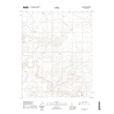 2020 Borrego Pass2020 Print · USGSBorrego Pass and the surrounding mesas are documented here in the early twenty-first century, showing a landscape of deep canyons and isolated springs. Researchers can trace the network of backroads like Borrego Pass Rd and Crow Mesa Rd past landmarks like Mesa de Jaramillo and Ojo del Chopo.
 - 2020 Map of San Mateo, 2020 Print
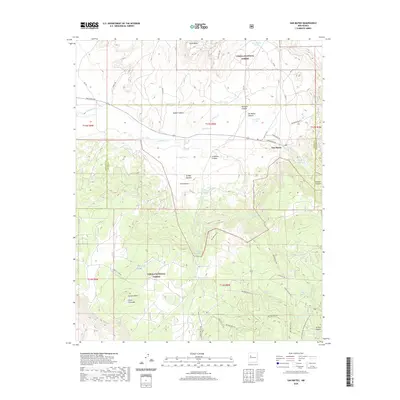 2020 San Mateo2020 Print · USGSSan Mateo and the high mesas of the Mount Taylor region are shown here in the contemporary era. Researchers can trace the Continental Divide National Scenic Trail as it passes near Lobo Springs and the historic settlement of San Mateo.
 - 2020 Map of Goat Mountain, 2020 Print
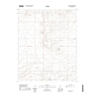 2020 Goat Mountain2020 Print · USGSMcKinley County's high-desert terrain is captured here in the contemporary era, showcasing a landscape of prominent mesas and deep arroyos. Genealogists and historians can trace routes along Blackwood Rd and locate family-named landmarks like Lassa Point and Loma de la Gloria.
 - 2020 Map of Marquez, 2020 Print
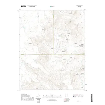 2020 Marquez2020 Print · USGSNorthwestern New Mexico's high desert peaks and deep canyons are surveyed here at the convergence of three counties. Genealogists and land historians can trace family-named landmarks like Las Carretas, Gallegos Bridge, and Ojo Marquez.
 - 2020 Map of Rincon Marquez, 2020 Print
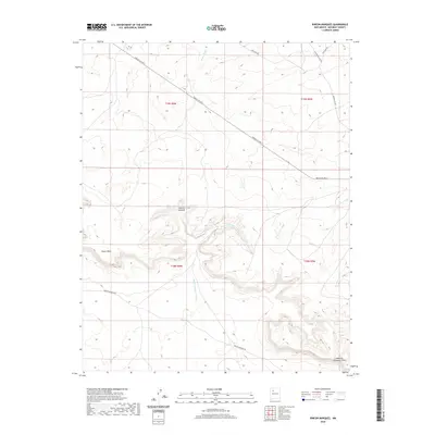 2020 Rincon Marquez2020 Print · USGSThe Eastern Navajo Agency landscape is documented here in the early twenty-first century, showing the settlement of Rincon Marquez and the heights of Chaco Mesa. Trace the high-desert drainages of Vicente Arroyo and the route of Indian Svc Rte 9.
 - 2020 Map of Ojo Encino Mesa, 2020 Print
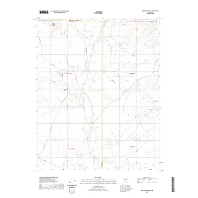 2020 Ojo Encino Mesa2020 Print · USGSThe Eastern Navajo Agency at the start of the 2020s shows a landscape of expansive plateaus and small tribal communities. Researchers can trace the network of Indian Service routes connecting Ojo Encino with natural landmarks like Eagle Spring and Ceja Pelon Mesa.
 - 2020 Map of Mesita Americana, 2020 Print
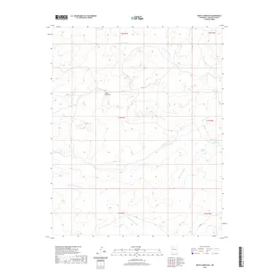 2020 Mesita Americana2020 Print · USGSMcKinley County's high-desert drainages are meticulously documented in this 2020 topographic survey. Researchers can trace the rugged network of the Arroyo Lucero and Arroyo Calladito or locate water infrastructure like Calladito Tank near Mesita Americana.
 - 2020 Map of Seven Lakes SE, 2020 Print
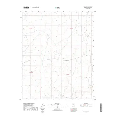 2020 Seven Lakes SE2020 Print · USGSMcKinley County's high-desert landscape in the Eastern Navajo Agency is documented here in the early twenty-first century. Researchers can trace the essential transit network of this arid region, from the path of Fajada Wash to the courses of Navajo Svc Rte 9 and White Horse Dr.
 - 2020 Map of Dos Lomas, 2020 Print
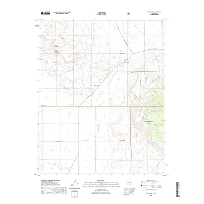 2020 Dos Lomas2020 Print · USGSUpper McKinley County comes alive in this contemporary survey of the high mesas and canyonlands near the Cibola County line. Researchers can trace the drainage of San Mateo Creek and locate landmarks like El Puertecito, Round Butte, and the winding Poison Canyon.
 - 2020 Map of San Lucas Dam, 2020 Print
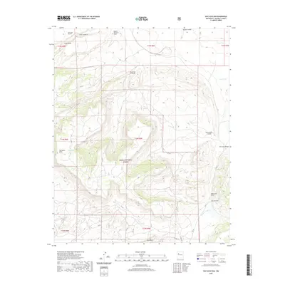 2020 San Lucas Dam2020 Print · USGSMcKinley County in the early twenty-first century shows a landscape defined by federal management and ranching infrastructure. Trace the relationship between geography and survival through landmarks like San Lucas Dam, San Mateo Mesa, and family-named water sources like Baca Tank.
 - 2020 Map of Mesa De Los Toros, 2020 Print
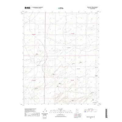 2020 Mesa De Los Toros2020 Print · USGSThe Eastern Navajo Agency at the turn of the decade is documented here through its distinct mesa and canyon topography. Researchers can trace landforms like Mesa de los Toros and Loma de los Toros, or locate points like Grandmas Swimming Pool.
 - 2020 Map of Mesa Cortada, 2020 Print
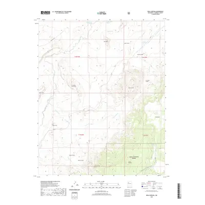 2020 Mesa Cortada2020 Print · USGSMcKinley County's high mesa country is mapped here in the modern era, showing the rugged topography of the San Juan Basin. Hikers and historians can trace the Continental Divide National Scenic Trail past landmarks like Mesa Cortada and San Miguel Creek Dome.
 - 2020 Map of Seven Lakes NW, 2020 Print
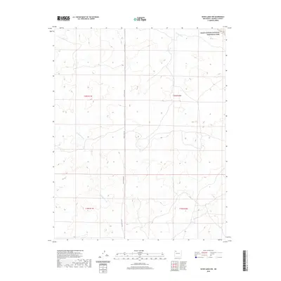 2020 Seven Lakes NW2020 Print · USGSThe high-desert terrain of the Eastern Navajo Agency comes into focus in this contemporary survey of the Chaco region. Researchers and land historians can trace the paths of Fajada Wash and Kin Klizhin Wash or follow the route of Chaco Canyon Rd through the mesas.
 - 2020 Map of Canada Calladita, 2020 Print
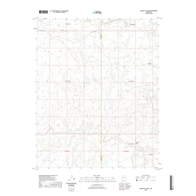 2020 Canada Calladita2020 Print · USGSThe Eastern Navajo Agency landscape is captured here in the early twenty-first century, showing the intersection of McKinley and Sandoval counties. Researchers can trace remote desert routes like Rincon Marquez Rd and find isolated water features such as Cholla Tank and Rattlesnake Tank.
 - 2020 Map of Cerro Pelon, 2020 Print
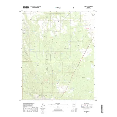 2020 Cerro Pelon2020 Print · USGSMountaintop terrain and volcanic peaks define this New Mexico landscape within the Cibola National Forest. Hikers and historians can trace the Continental Divide National Scenic Trail as it passes near Cerro Pelon, San Lucas Valley, and numerous high-country springs.
 - 2020 Map of Seven Lakes, 2020 Print
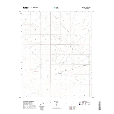 2020 Seven Lakes2020 Print · USGSThe McKinley County high desert comes into focus during this contemporary survey of the Eastern Navajo Agency. Researchers can trace the intersection of Navajo Svc Rte 9 and Chaco Canyon Rd near the seasonal waters of Seven Lakes Wash.
 - 2020 Map of Ambrosia Lake, 2020 Print
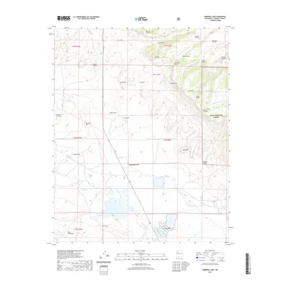 2020 Ambrosia Lake2020 Print · USGSThe McKinley County highlands are captured here in the contemporary era, showing the intersection of ranching lands and protected forest. Researchers can trace land features like Don Andres Hill and Hijinio Draw or locate water sources like Laguna del Monte.
 - 2020 Map of El Dado Mesa, 2020 Print
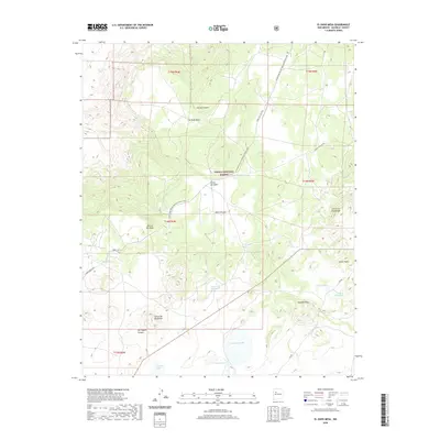 2020 El Dado Mesa2020 Print · USGSMcKinley County’s high mesa country comes to life in this recent survey of the Mount Taylor foothills. Hikers and historians can trace the Continental Divide National Scenic Trail as it winds past El Dado Mesa and remote water sources like La Vera Spring.
 - 2020 Map of Bluewater, 2020 Print
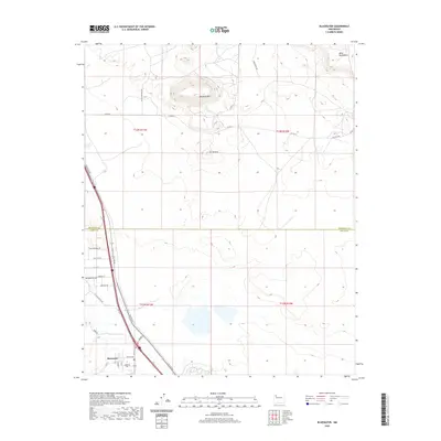 2020 Bluewater2020 Print · USGSBluewater and the high-desert plateau of Cibola County are documented here as the area appeared in the early twenty-first century. Researchers can trace the legacy of the Mother Road along Hst Rte 66 or locate landmarks like Haystack Mtn and El Tintero.
Showing maps 1-25 of 233
Top cities of McKinley County
Frequently asked questions
- What are the different types of historical maps available for McKinley County?
- What is the oldest map of McKinley County?
- Where can I purchase historical maps of McKinley County for my home or office?
- Where can I download high-res historical maps of McKinley County?
- Are there historical topographic maps available for McKinley County?
- Is there historical aerial imagery available for McKinley County?
- Where are historical maps of McKinley County sourced from?