2000s (21st Century) Maps of Hettinger County, North Dakota
Explore 191 historic maps of Hettinger County from the 2000s (21st Century). These maps offer a rare glimpse into what life looked like during the 2000s — showing old roads, neighborhoods, homes, and landmarks that have changed or disappeared over time.
Whether you're researching your family's past, planning a metal detecting trip, or studying how Hettinger County's landscape evolved across the 2000s, these high-resolution maps are a powerful tool for exploring the history of this region.
- Focus on a specific era: All maps on this page are from the 2000s, giving you a focused view of this time period.
- See what’s changed: Compare century-old streets, trails, and buildings to today's modern landscape using overlays and satellite layers.
- Research with precision: Use these maps for genealogy, historical research, land use analysis, or educational projects.
- View, download, or print: Maps are fully viewable online in high resolution, and can be downloaded or printed for your own records.
Start exploring Hettinger County's history through authentic maps from the 2000s. This is your window into the past.
Hettinger County, ND maps
(191)- 2011 Map of Schefield, 2011 Print
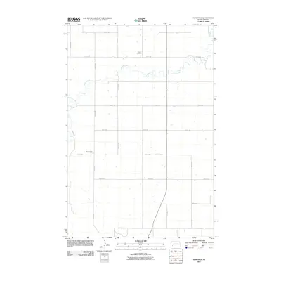 2011 Schefield2011 Print · USGSThe rural prairie of Stark County is captured here in the early twenty-first century, showing a landscape defined by its grid of section-line roads. Researchers can locate the settlement of Schefield and trace the winding path of Antelope Creek past the Tri State Speedway.
 - 2011 Map of Enterprise School, 2011 Print
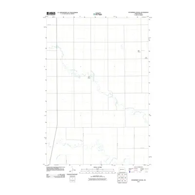 2011 Enterprise School2011 Print · USGSHettinger County's prairie landscape is defined by its winding waterways and scattered community landmarks in the early 2000s. Researchers can trace family roots at Tepee Butte Cemetery and Saint Helena Cemetery or follow the path of Chanta Peta Creek.
 - 2011 Map of Jung Lake, 2011 Print
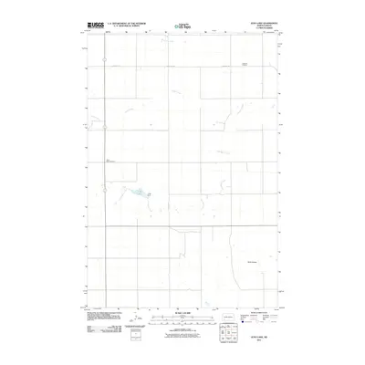 2011 Jung Lake2011 Print · USGSHettinger County's rural prairie landscape is documented here in the early 2010s, centered on the drainage of Coal Bank Creek. Local researchers can trace family sites at Rainy Butte Cemetery or Havelock Cemetery and locate the reservoir at Jung Lake.
 - 2011 Map of Havelock, 2011 Print
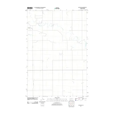 2011 Havelock2011 Print · USGSThe rural plains of Hettinger County are captured here in the early twenty-first century as they maintain their classic homestead grid. Researchers can trace the winding path of the Cannonball River and locate the settlement of Havelock near the banks of Coal Bank Creek.
 - 2011 Map of Lefor SW, 2011 Print
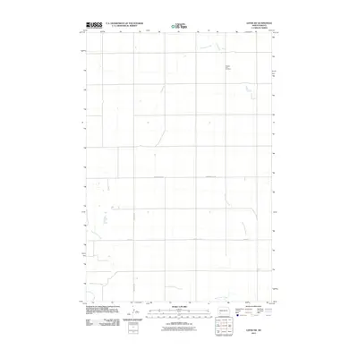 2011 Lefor SW2011 Print · USGSHettinger County in the early twenty-first century remains a landscape of wide-open prairie and established section roads. Researchers can locate family landmarks like Pleasant View Cemetery or trace the drainages of Thirtymile Creek and Dead Horse Creek.
 - 2011 Map of Lefor, 2011 Print
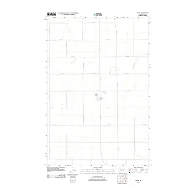 2011 Lefor2011 Print · USGSThe small prairie community of Lefor is documented in this early twenty-first-century survey of rural Stark County. Genealogists and local historians can locate Saint Elizabeth Cemetery and trace the course of Jimmy Creek through the section-line grid.
 - 2011 Map of Stony Butte, 2011 Print
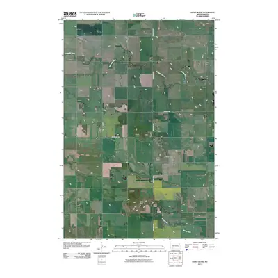 2011 Stony Butte2011 Print · USGSHettinger County's open prairie is captured in the early twenty-first century, showing the rural road network and topographic landmarks of the North Dakota plains. Trace the path of the Enchanted Hwy past landmarks like Stony Butte, Black Butte, and Thirtymile Creek.
 - 2011 Map of White Butte NE, 2011 Print
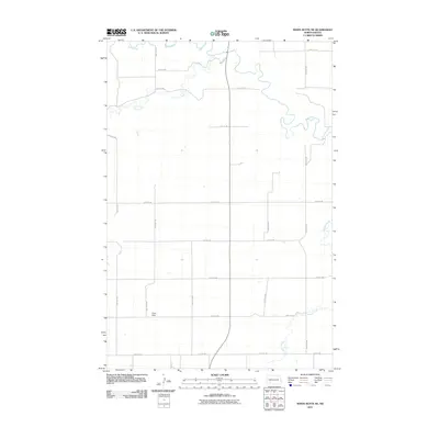 2011 White Butte NE2011 Print · USGSStark County’s agricultural landscape is captured here in the early twenty-first century as the Heart River winds through the northern prairie. Researchers can trace the rural road network connecting the Lime Hills to the drainages of Plum Creek and Beaver Creek.
 - 2011 Map of Abbey Hill, 2011 Print
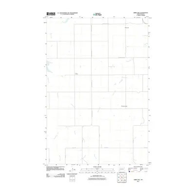 2011 Abbey Hill2011 Print · USGSHettinger County's agricultural heartland is documented here in the early twenty-first century as a landscape of grid-aligned farm roads and prairie drainages. Researchers can locate local landmarks like Alden Cemetery and the prominent Abbey Hill, or trace the winding courses of Dayton Creek and Spring Creek.
 - 2011 Map of Burt, 2011 Print
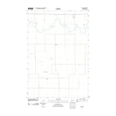 2011 Burt2011 Print · USGSHettinger County's prairie landscape is documented here in the early twenty-first century, centered on the winding Cannonball River. Genealogists and local historians can locate family burial sites at Burt Hope Cemetery and Bethany Cemetery or trace the rural settlements of Burt and Watrous.
 - 2011 Map of Mott SW, 2011 Print
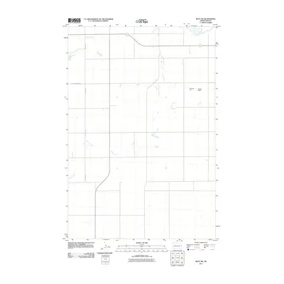 2011 Mott SW2011 Print · USGSHettinger County's open prairie is documented here in the early twenty-first century, showing the drainage of the Cannonball River. Local landmarks like Roemich Dam and Forsch Rocks provide tangible points for family history research and land-use study.
 - 2011 Map of Mott NW, 2011 Print
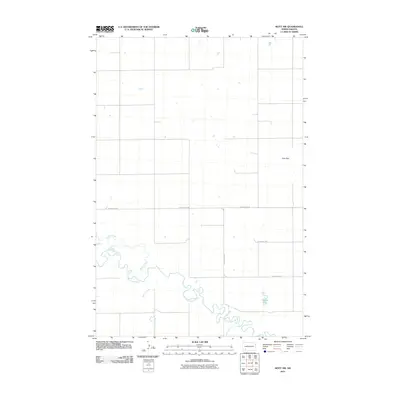 2011 Mott NW2011 Print · USGSHettinger County in the early twenty-first century is a landscape of winding prairie waterways and high ground. Researchers can trace the meandering Cannonball River and its tributaries, or locate the family-named heights of the Zich Hills.
 - 2011 Map of New England, 2011 Print
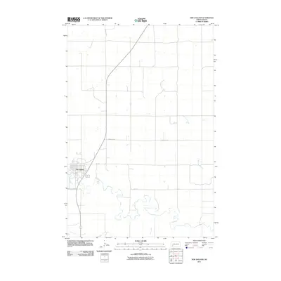 2011 New England2011 Print · USGSHettinger County in the early twenty-first century reveals a landscape of precision-gridded farmland centered on the town of New England. Researchers can trace the meandering Cannonball River and local landmarks like Bomber Club Rd and Dead Horse Creek.
 - 2011 Map of Liens Dams, 2011 Print
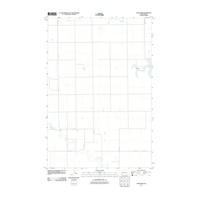 2011 Liens Dams2011 Print · USGSHettinger County in the early twenty-first century remains a landscape of managed waters and precise rural grids. Genealogists and historians can trace the paths of Tepee Creek and Chanta Peta Creek or locate landmarks like Liens Dams.
 - 2011 Map of Clark Butte NE, 2011 Print
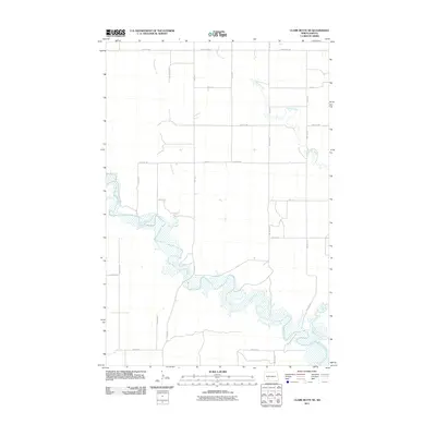 2011 Clark Butte NE2011 Print · USGSStark County's open prairie and river valleys are captured here in the early twenty-first century as agricultural life continues along the water. Genealogists and land researchers can trace property boundaries and rural access roads near the Heart River, Peters Creek, and Beaver Creek.
 - 2011 Map of East Rainy Butte, 2011 Print
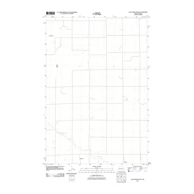 2011 East Rainy Butte2011 Print · USGSDe Sart and the surrounding high plains of Slope County are captured here in the early twenty-first century. Genealogists and local historians can locate Johnson Cemetery and trace the drainage of Coal Bank Creek past landmarks like East Rainy Butte.
 - 2011 Map of Burt NW, 2011 Print
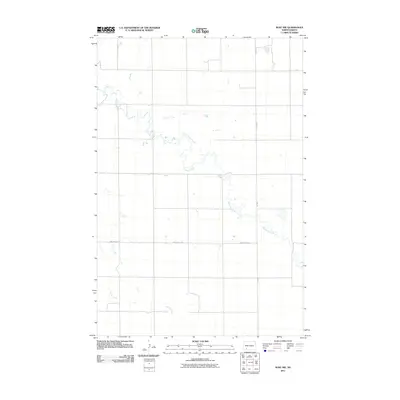 2011 Burt NW2011 Print · USGSHettinger County's prairie landscape is captured here in the early twenty-first century, showcasing the rural heart of North Dakota. Trace the winding course of Thirtymile Creek and Spring Creek alongside local routes like Van Lishout Rd.
 - 2011 Map of Plum Butte NE, 2011 Print
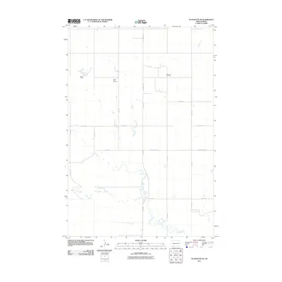 2011 Plum Butte NE2011 Print · USGSHettinger County's rural prairie landscape is documented here in the early twenty-first century, showing a network of agricultural roads and watercourses. Genealogists can locate Pilgerheim Cemetery and Sacred Heart Cemetery, or trace the drainage of Timber Creek.
 - 2011 Map of Pearl Butte NW, 2011 Print
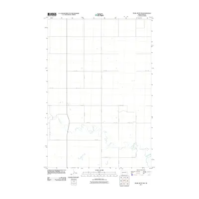 2011 Pearl Butte NW2011 Print · USGSHettinger County, North Dakota, is presented here in the early 2000s as a landscape defined by expansive agriculture and the winding path of Cedar Creek. Researchers can trace the section-line road grid, including 84th St SW and 12th Ave NE, across this open prairie terrain.
 - 2011 Map of Clark Butte, 2011 Print
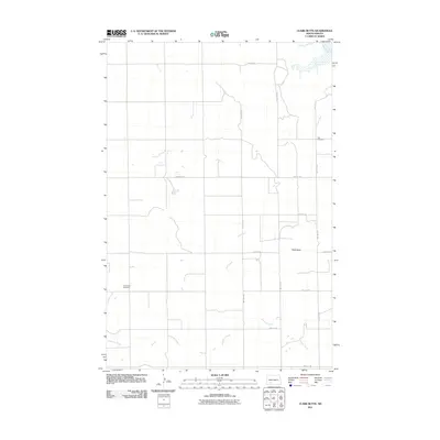 2011 Clark Butte2011 Print · USGSGrant County is captured in the early twenty-first century as a rural expanse of prairie and creek beds. Genealogists and local historians can locate early family burial sites at Zion Cemetery and Freidenfeld Cemetery or trace the geography of Clark Butte.
 - 2011 Map of New England SW, 2011 Print
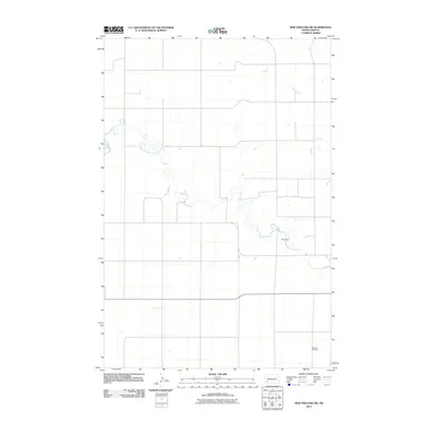 2011 New England SW2011 Print · USGSHettinger County's prairie landscape is captured in the early twenty-first century, showing the intersection of rural infrastructure and the high plains. Researchers can trace the winding Cannonball River and locate the Schmidt Cemetery.
 - 2011 Map of North Star Butte, 2011 Print
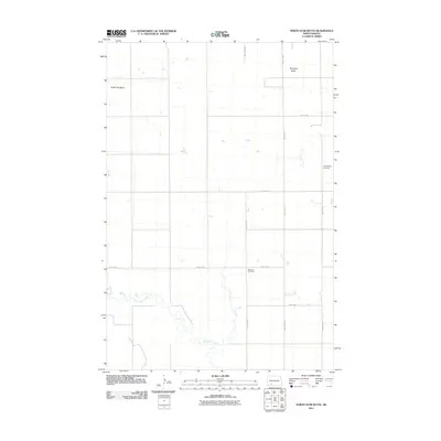 2011 North Star Butte2011 Print · USGSGrant County is shown here in the early 21st century as a landscape of prairie buttes and section-line farm roads. Genealogists and local historians can locate rural burial grounds such as Philadelphia Cemetery and Ebenezer Cemetery near Thirtymile Creek.
 - 2011 Map of White Butte East, 2011 Print
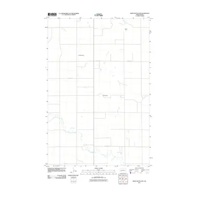 2011 White Butte East2011 Print · USGSHettinger County in the early 2000s remains a landscape of open prairie and ranchland defined by its natural watercourses. Genealogists and local historians can trace the rural road network including St Placidus Rd and landforms like Campbell Butte or Steiner Dam.
 - 2011 Map of Cedar Lake, 2011 Print
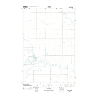 2011 Cedar Lake2011 Print · USGSSlope County's prairie landscape is centered on the waters of Cedar Lake at the start of the twenty-first century. Researchers can trace the drainage of Chanta Peta Creek and locate landmarks like the Cedar Lake Dam.
 - 2011 Map of Long Butte, 2011 Print
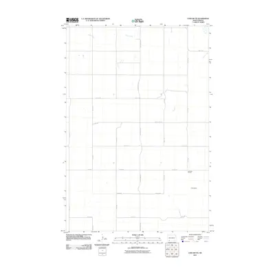 2011 Long Butte2011 Print · USGSHettinger County at the start of the decade shows a vast agricultural landscape organized by precise section grids. Genealogists and local historians can locate the Long Butte Cemetery and trace the path of Timber Creek through this quiet prairie region.
Showing maps 1-25 of 191
Top cities of Hettinger County
Frequently asked questions
- What are the different types of historical maps available for Hettinger County?
- What is the oldest map of Hettinger County?
- Where can I purchase historical maps of Hettinger County for my home or office?
- Where can I download high-res historical maps of Hettinger County?
- Are there historical topographic maps available for Hettinger County?
- Is there historical aerial imagery available for Hettinger County?
- Where are historical maps of Hettinger County sourced from?