2000s (21st Century) Maps of Osage County, Oklahoma
Explore 250 historic maps of Osage County from the 2000s (21st Century). These maps offer a rare glimpse into what life looked like during the 2000s — showing old roads, neighborhoods, homes, and landmarks that have changed or disappeared over time.
Whether you're researching your family's past, planning a metal detecting trip, or studying how Osage County's landscape evolved across the 2000s, these high-resolution maps are a powerful tool for exploring the history of this region.
- Focus on a specific era: All maps on this page are from the 2000s, giving you a focused view of this time period.
- See what’s changed: Compare century-old streets, trails, and buildings to today's modern landscape using overlays and satellite layers.
- Research with precision: Use these maps for genealogy, historical research, land use analysis, or educational projects.
- View, download, or print: Maps are fully viewable online in high resolution, and can be downloaded or printed for your own records.
Start exploring Osage County's history through authentic maps from the 2000s. This is your window into the past.
Osage County, OK maps
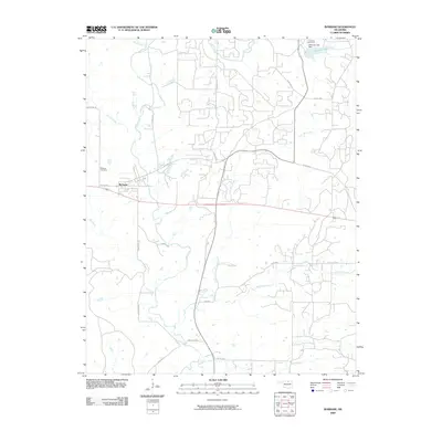
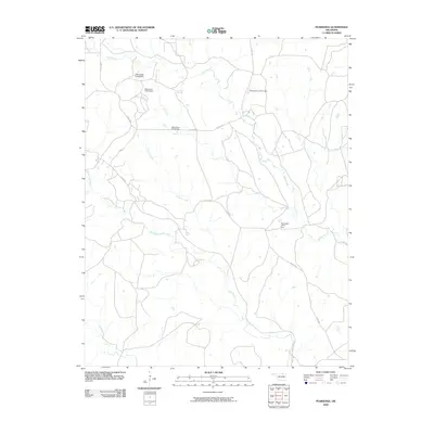
(250)- 2009 Map of Blackburn, 2009 Print
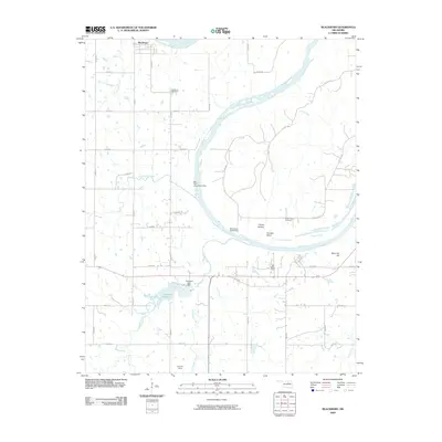 2009 Blackburn2009 Print · USGSCovers Osage County, including Blackburn, Pawnee County, and other nearby areas
 - 2009 Map of Doga Creek, 2009 Print
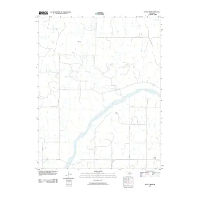 2009 Doga Creek2009 Print · USGSCovers Osage County, including Doga, Pawnee County, and other nearby areas
 - 2009 Map of Watchorn, 2009 Print
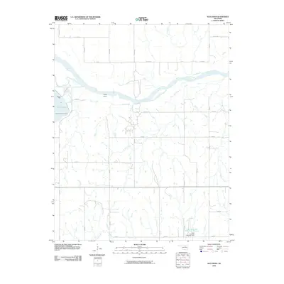 2009 Watchorn2009 Print · USGSCovers Osage County, including Watchorn, Pawnee County, and other nearby areas
 - 2009 Map of Lucy Creek, 2009 Print
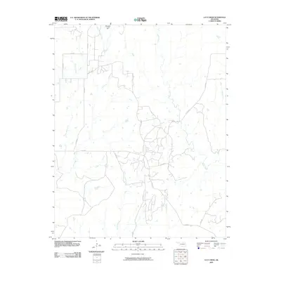 2009 Lucy Creek2009 Print · USGSCovers Osage County, including United States, Oklahoma, and other nearby areas
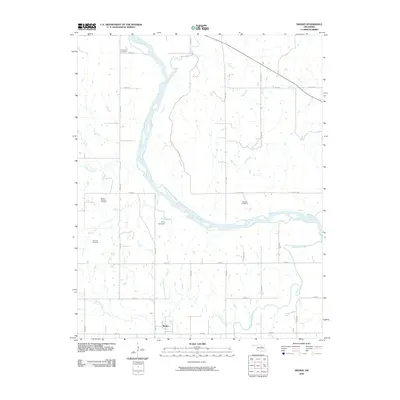
 - 2009 Map of Kaw City, 2009 Print
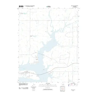 2009 Kaw City2009 Print · USGSCovers Osage County, including Kaw City, Washunga, and other nearby areas
 - 2009 Map of Nanos, 2009 Print
 2009 Nanos2009 Print · USGSCovers Osage County, including Opah, Nanos, and other nearby areas
 - 2009 Map of Shidler, 2009 Print
 2009 Shidler2009 Print · USGSCovers Osage County, including Shidler, Webb City, and other nearby areas
 - 2009 Map of Cleveland, 2009 Print
 2009 Cleveland2009 Print · USGSCovers Osage County, including Cleveland, Osage, and other nearby areas
 - 2009 Map of Baconrind Creek, 2009 Print
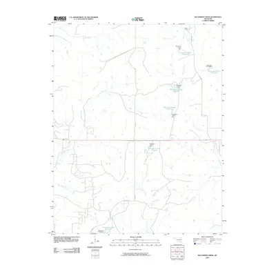 2009 Baconrind Creek2009 Print · USGSCovers Osage County, including Strohm, United States, and other nearby areas
 - 2009 Map of Happy Hollow, 2009 Print
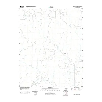 2009 Happy Hollow2009 Print · USGSCovers Osage County, including United States, Oklahoma, and other nearby areas
 - 2009 Map of Charley Creek East, 2009 Print
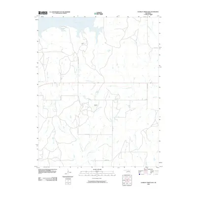 2009 Charley Creek East2009 Print · USGSCovers Osage County, including Kay County, United States, and other nearby areas
 - 2009 Map of Skedee, 2009 Print
 2009 Skedee2009 Print · USGSCovers Osage County, including Ralston, Skedee, and other nearby areas
 - 2009 Map of Burbank, 2009 Print
 2009 Burbank2009 Print · USGSCovers Osage County, including Burbank, Carter Nine, and other nearby areas
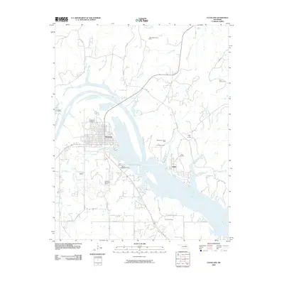
 - 2009 Map of Fairfax, 2009 Print
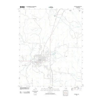
 2009 Fairfax2009 Print · USGSCovers Osage County, including Fairfax, Ralston, and other nearby areas
 - 2009 Map of Pawhuska, 2009 Print
 2009 Pawhuska2009 Print · USGSCovers Osage County, including Pawhuska, Pawhuska Indian Village, and other nearby areas
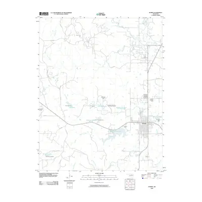
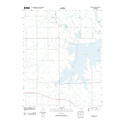
 - 2009 Map of Hominy NE, 2009 Print
 2009 Hominy NE2009 Print · USGSCovers Osage County, including Skiatook, Hominy, and other nearby areas
 - 2009 Map of Prettyhair Creek, 2009 Print
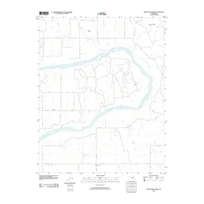 2009 Prettyhair Creek2009 Print · USGSCovers Osage County, including Noble County, United States, and other nearby areas
 - 2009 Map of Hominy, 2009 Print
 2009 Hominy2009 Print · USGSCovers Osage County, including Hominy, Indian Village, and other nearby areas
 - 2009 Map of Morrison NE, 2009 Print
 2009 Morrison NE2009 Print · USGSCovers Osage County, including Pawnee County, Noble County, and other nearby areas
 - 2009 Map of Bug Creek, 2009 Print
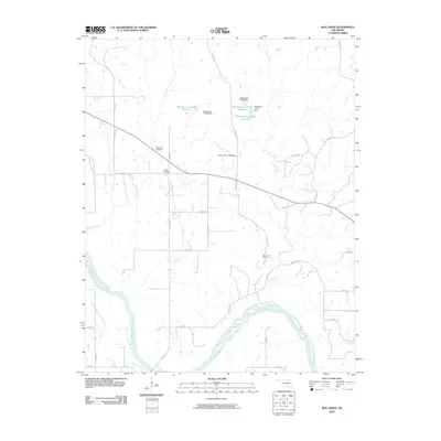 2009 Bug Creek2009 Print · USGSCovers Osage County, including Blackburn, Pawnee County, and other nearby areas
 - 2009 Map of Masham, 2009 Print
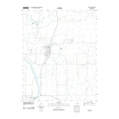
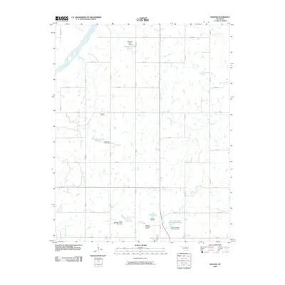 2009 Masham2009 Print · USGSCovers Osage County, including Masham, Pawnee County, and other nearby areas
 - 2009 Map of Pearsonia, 2009 Print
 2009 Pearsonia2009 Print · USGSCovers Osage County, including Blackland, Myers, and other nearby areas
 - 2010 Map of Avant, 2010 Print
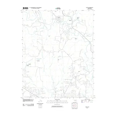 2010 Avant2010 Print · USGSCovers Osage County, including Skiatook, Avant, and other nearby areas
 - 2010 Map of Sand Springs, 2010 Print
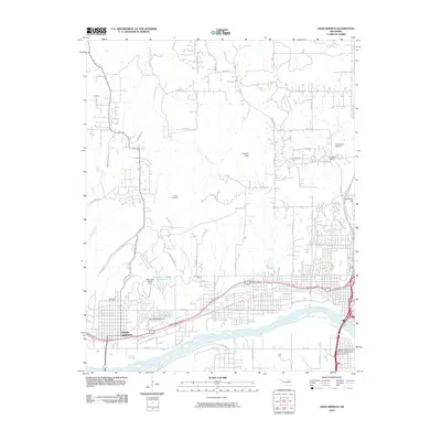 2010 Sand Springs2010 Print · USGSCovers Osage County, including Tulsa, Sand Springs, and other nearby areas
 - 2010 Map of Wekiwa, 2010 Print
 2010 Wekiwa2010 Print · USGSCovers Osage County, including Sand Springs, Westport, and other nearby areas
Showing maps 1-25 of 250
Top cities of Osage County
- Pawhuska historical maps
- Hominy historical maps
- Fairfax historical maps
- Barnsdall historical maps
- Wynona historical maps
- Shidler historical maps
See more
Frequently asked questions
- What are the different types of historical maps available for Osage County?
- What is the oldest map of Osage County?
- Where can I purchase historical maps of Osage County for my home or office?
- Where can I download high-res historical maps of Osage County?
- Are there historical topographic maps available for Osage County?
- Is there historical aerial imagery available for Osage County?
- Where are historical maps of Osage County sourced from?