2010s Maps of Osage County, Oklahoma
Explore 178 historic maps of Osage County from the 2010s. These maps offer a rare glimpse into what life looked like during the 2010s — showing old roads, neighborhoods, homes, and landmarks that have changed or disappeared over time.
Whether you're researching your family's past, planning a metal detecting trip, or studying how Osage County's landscape evolved across the 2010s, these high-resolution maps are a powerful tool for exploring the history of this region.
- Focus on a specific era: All maps on this page are from the 2010s, giving you a focused view of this time period.
- See what’s changed: Compare century-old streets, trails, and buildings to today's modern landscape using overlays and satellite layers.
- Research with precision: Use these maps for genealogy, historical research, land use analysis, or educational projects.
- View, download, or print: Maps are fully viewable online in high resolution, and can be downloaded or printed for your own records.
Start exploring Osage County's history through authentic maps from the 2010s. This is your window into the past.
Osage County, OK maps
(178)- 2010 Map of Avant, 2010 Print
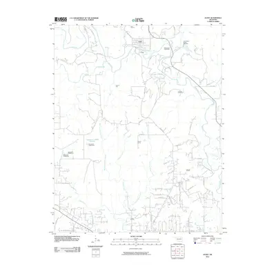 2010 Avant2010 Print · USGSAvant and the surrounding oil fields are documented here in the early twenty-first century as the region balanced industrial petroleum production with its rural roots. Researchers can locate family burial sites at Avant Cemetery and Lombard Cemetery or trace the drainage of Bird Creek and Quapaw Creek.
 - 2010 Map of Sand Springs, 2010 Print
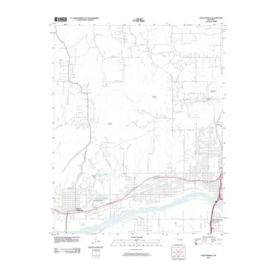 2010 Sand Springs2010 Print · USGSThe Arkansas River valley comes into sharp focus during this period of Oklahoma's urban growth. Researchers can trace the development of Sand Springs and locate local landmarks like Woodland Cemetery, Osage School, and the Downtown Airpark.
 - 2010 Map of Wekiwa, 2010 Print
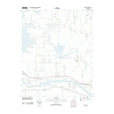 2010 Wekiwa2010 Print · USGSThe Arkansas River valley west of Tulsa comes into focus during the early 2000s, showing a landscape shaped by water and aviation. Researchers can trace the layout of Lotsee, find the Shell Dam at Shell Lake, or locate the William R Pogue Municipal Airport.
 - 2010 Map of New Prue, 2010 Print
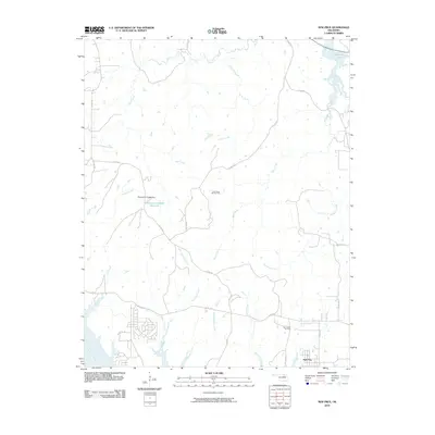 2010 New Prue2010 Print · USGSThe rural landscape around New Prue and the Arkansas River is captured here in the early twenty-first century. Researchers can trace the local oil industry through the East Osage City Oil Field or follow the path of Waresha Creek toward Skiatook Lake.
 - 2010 Map of Ponca City, 2010 Print
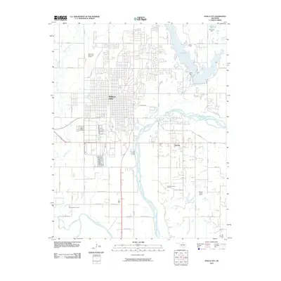 2010 Ponca City2010 Print · USGSPonca City and the Arkansas River valleys are documented here during the early 2000s. Genealogists and historians can locate the Ponca Indian Cemetery and White Eagle, alongside industrial sites like the Southwest McCord Oil Field and the waters of Lake Ponca.
 - 2010 Map of Uncas, 2010 Print
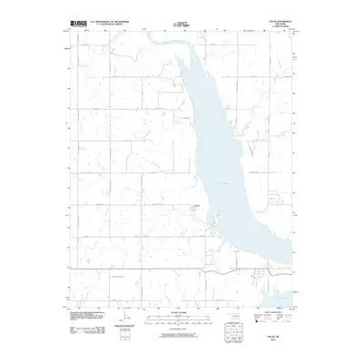 2010 Uncas2010 Print · USGSKaw Lake and the Arkansas River valley are captured in this early twenty-first-century survey of Kay County. Genealogists and local historians can trace the rural road network surrounding Uncas and locate waterfront features along Coon Creek and Bear Creek.
 - 2010 Map of Wynona, 2010 Print
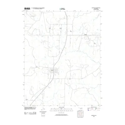 2010 Wynona2010 Print · USGSOklahoma oil country is on full display in this 2010 study of Osage County, where the landscape is dotted with named petroleum deposits and rural settlements. Trace local family roots near Wynona and Pershing, or locate the Saint Josephs Cemetery among the many creeks and oil fields.
 - 2010 Map of Ponca City SE, 2010 Print
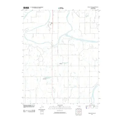 2010 Ponca City SE2010 Print · USGSThe confluence of the Salt Fork and Arkansas Rivers defines this Kay County landscape during the early twenty-first century. Genealogists and local historians can trace the roads around White Eagle and the Ponca Indian Agency, or locate landmarks like Cowboy Hill.
 - 2010 Map of Foraker South, 2010 Print
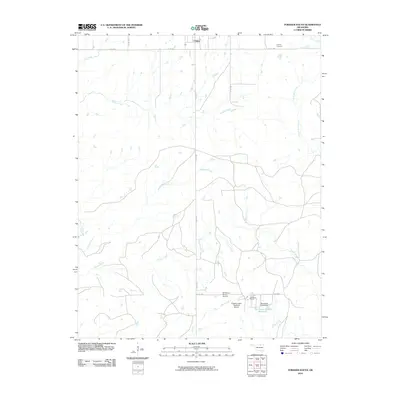 2010 Foraker South2010 Print · USGSThe Osage Hills ranching country south of Foraker is documented here during the early twenty-first century. Researchers can trace family ties at the Foraker Cemetery or explore the infrastructure of the cattle industry at the Codding Ranch and McKinney Ranch Airport.
 - 2010 Map of Keystone Dam, 2010 Print
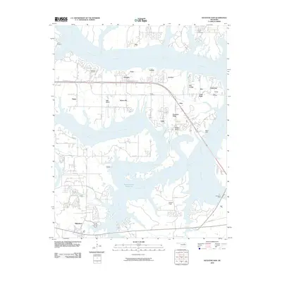 2010 Keystone Dam2010 Print · USGSThe convergence of the Arkansas and Cimarron Rivers defines this area in the early 2000s, showing a landscape shaped by the Keystone Dam. Trace local history through community labels like Mannford, Prue, and Westport, or locate family sites at Sinnett Cemetery and Leroy Cemetery.
 - 2010 Map of Bluestem Lake, 2010 Print
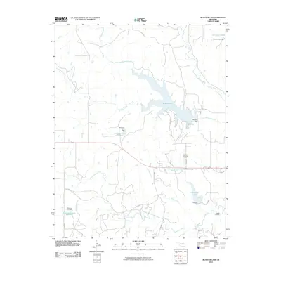 2010 Bluestem Lake2010 Print · USGSOsage County's creek-fed highlands are captured here in the early twenty-first century, showing a landscape defined by significant water management and aviation infrastructure. Researchers can trace the drainages of Bird Creek and Higgins Creek or locate local landmarks like the Pawhuska Municipal Airport and Bluestem Lake.
 - 2010 Map of Charley Creek West, 2010 Print
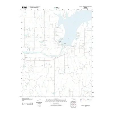 2010 Charley Creek West2010 Print · USGSNear Ponca City during the early twenty-first century, the landscape is defined by the massive Kaw Dam and the waters of the Arkansas River. Researchers can trace local landmarks like Sunset Memorial Gardens, Camp McFadden, and the production footprints of the Hardy Oil Field.
 - 2010 Map of Nelagoney, 2010 Print
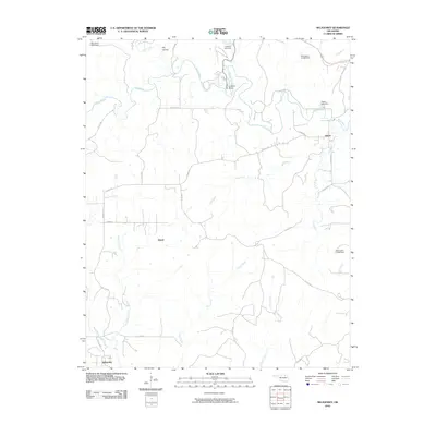 2010 Nelagoney2010 Print · USGSOsage County's rural ranching and creek-fed landscape is documented here during the early twenty-first century. Researchers can trace local landmarks like Lookout Point or locate family sites near Nelagoney, Kiheki, and the banks of Sand Creek.
 - 2010 Map of Woolaroc, 2010 Print
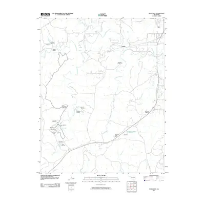 2010 Woolaroc2010 Print · USGSBartlesville and the surrounding Osage Hills are captured here in the early twenty-first century as a landscape of conservation and recreation. Genealogists and historians can trace the grounds of Woolaroc, the Wah-Shah-She Girl Scout Camp, and old settlements like Fite.
 - 2010 Map of Avant NW, 2010 Print
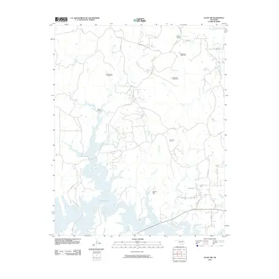 2010 Avant NW2010 Print · USGSThe Osage County hills and the northern reaches of Skiatook Lake appear here during the first decade of the new millennium. Local history researchers can trace the footprint of the energy industry through the West Avant Oil Field or locate rural landmarks like Cedar Canyon and Bill Dawsons Rd.
 - 2010 Map of Barnsdall, 2010 Print
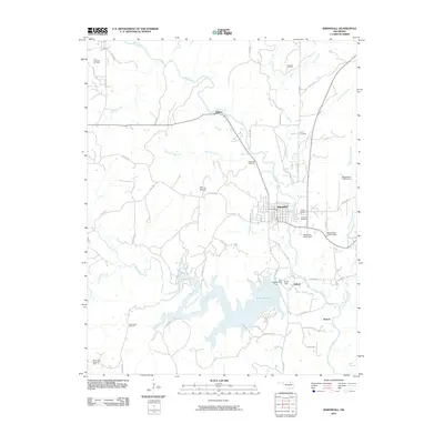 2010 Barnsdall2010 Print · USGSOsage County's oil-rich landscape is captured here in the early twenty-first century, centered on the settlement of Barnsdall. Researchers can trace industrial and family history across the Barnsdall Oil Field and sites like Red Eagle Cemetery or Tallant.
 - 2010 Map of Avant SW, 2010 Print
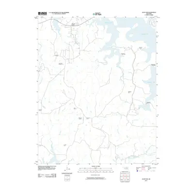 2010 Avant SW2010 Print · USGSOklahoma's petroleum and reservoir landscapes are on full display in this early twenty-first-century survey. Trace the extent of the Wildhorse Oil Field and the expansive shoreline of Skiatook Lake alongside rural hubs like Morgans Corner.
 - 2010 Map of Bowring SE, 2010 Print
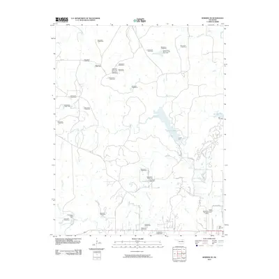 2010 Bowring SE2010 Print · USGSThe northern fringes of Bartlesville come into focus during the early twenty-first century, showing the intersection of aviation history and regional water management. Researchers can locate Frank Phillips Field and trace the shores of Lake Hudson and the Caney River.
 - 2010 Map of Wolco, 2010 Print
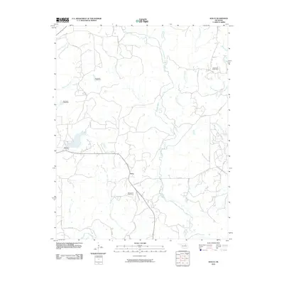 2010 Wolco2010 Print · USGSThis rural portion of Osage County comes into focus during the early twenty-first century, centered on the community of Wolco. Genealogists and local historians can trace the paths of Old State Hwy 11 and the waters of Candy Creek or Waxhoma Lake Dam.
 - 2010 Map of Avant SE, 2010 Print
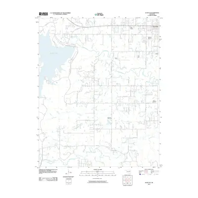 2010 Avant SE2010 Print · USGSThe outskirts of Skiatook and the waters of the lake define this Oklahoma landscape during a period of modern growth. Researchers can trace family history through several local burial grounds, including Osage Gardens Cemetery, Captain Cemetery, and the Sperry Rest Haven Cemetery.
 - 2010 Map of Herd, 2010 Print
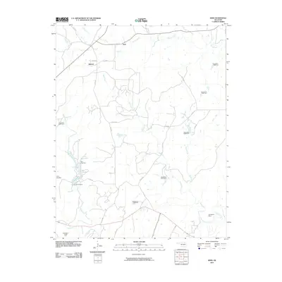 2010 Herd2010 Print · USGSOsage County ranch lands are documented here in the early twenty-first century, showing a landscape defined by creek beds and rural crossings. Genealogists and local historians can trace the areas around Herd and Bigheart or locate landmarks like Twin Mounds and Deer Lake.
 - 2010 Map of Pearsonia NE, 2010 Print
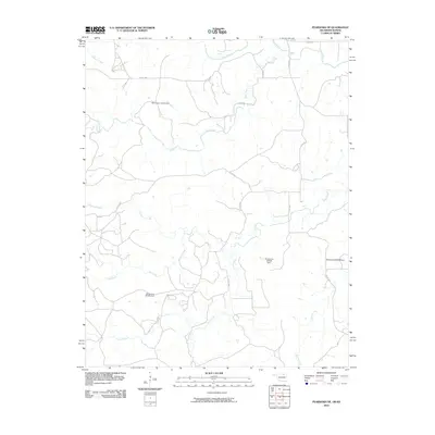 2010 Pearsonia NE2010 Print · USGSThe Oklahoma-Kansas borderlands come into focus in this 2010 survey, showcasing a rural landscape defined by the Caney River and its many tributaries. Researchers can trace the local water infrastructure through several numbered landmarks like Oknoname 037045 Dam and the path of Buck Creek.
 - 2010 Map of Grainola, 2010 Print
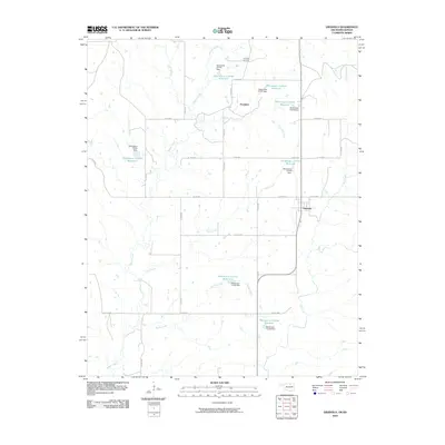 2010 Grainola2010 Print · USGSOsage County ranching and energy land comes into focus in this late-era survey of northern Oklahoma. Researchers can trace the layout of Grainola, explore the Frankfort Oil Field, and follow the drainages of Bayliss Creek and Lone Tree Creek.
 - 2010 Map of Bowring, 2010 Print
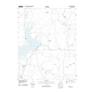 2010 Bowring2010 Print · USGSOsage County's northern landscape is captured here in the early twenty-first century, centered on the waters of Hulah Lake. Researchers can trace the local drainage of the Caney River and find landmarks like Deadmans Rock, Hickory Hill, and the settlement of Bowring.
 - 2010 Map of Foraker North, 2010 Print
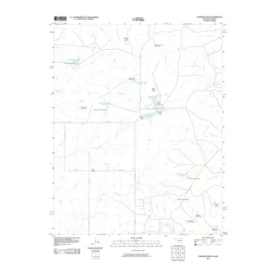 2010 Foraker North2010 Print · USGSOsage County ranching country is documented here in the early 2000s, showing a landscape of working cattle lands and water management. Genealogists and local historians can locate Saint Johns Cemetery or trace the many creeks like Salt Creek and Antelope Creek.
Showing maps 1-25 of 178
Top cities of Osage County
- Pawhuska historical maps
- Hominy historical maps
- Fairfax historical maps
- Barnsdall historical maps
- Wynona historical maps
- Shidler historical maps
See more
Frequently asked questions
- What are the different types of historical maps available for Osage County?
- What is the oldest map of Osage County?
- Where can I purchase historical maps of Osage County for my home or office?
- Where can I download high-res historical maps of Osage County?
- Are there historical topographic maps available for Osage County?
- Is there historical aerial imagery available for Osage County?
- Where are historical maps of Osage County sourced from?