2010s Maps of Hansford County, Texas
Explore 80 historic maps of Hansford County from the 2010s. These maps offer a rare glimpse into what life looked like during the 2010s — showing old roads, neighborhoods, homes, and landmarks that have changed or disappeared over time.
Whether you're researching your family's past, planning a metal detecting trip, or studying how Hansford County's landscape evolved across the 2010s, these high-resolution maps are a powerful tool for exploring the history of this region.
- Focus on a specific era: All maps on this page are from the 2010s, giving you a focused view of this time period.
- See what’s changed: Compare century-old streets, trails, and buildings to today's modern landscape using overlays and satellite layers.
- Research with precision: Use these maps for genealogy, historical research, land use analysis, or educational projects.
- View, download, or print: Maps are fully viewable online in high resolution, and can be downloaded or printed for your own records.
Start exploring Hansford County's history through authentic maps from the 2010s. This is your window into the past.
Hansford County, TX maps
(80)- 2010 Map of Morse, 2010 Print
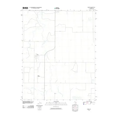 2010 Morse2010 Print · USGSHutchinson County at the turn of the twenty-first century reveals a landscape defined by the winding paths of North Palo Duro Creek and South Palo Duro Creek. Researchers can trace the rural road network connecting the settlement of Morse to the Lieb Cemetery.
 - 2010 Map of Morse SE, 2010 Print
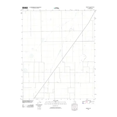 2010 Morse SE2010 Print · USGSHutchinson County in the early twenty-first century shows a landscape dominated by ranching and agriculture. Researchers can trace rural property boundaries and drainage patterns along Horse Creek and key local corridors like Fm 281 and Co Rd 16.
 - 2010 Map of Frisco Creek East, 2010 Print
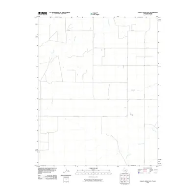 2010 Frisco Creek East2010 Print · USGSTexas County land patterns are etched into the High Plains on this early 21st-century survey. Genealogists and land researchers can trace property boundaries and rural access routes like Farm Rd 1262 or locate the Steji Lake Dam along the local drainages.
 - 2010 Map of West of Gruver, 2010 Print
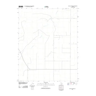 2010 West of Gruver2010 Print · USGSSherman County remains a strictly organized agricultural landscape in the Texas Panhandle during the early 2000s. Researchers can trace the intersection of rural life and land management along Coldwater Creek, Farm Rd 1573, and Co Rd P.
 - 2010 Map of Gruver, 2010 Print
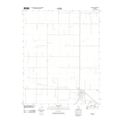 2010 Gruver2010 Print · USGSIn the Texas Panhandle during the early twenty-first century, the small town of Gruver serves as a vital hub for the surrounding plains. Genealogists and local historians can trace the town's physical layout and its connection to rural landmarks like Gruver Cemetery and the natural course of Farwell Draw.
 - 2010 Map of Horseshoe Hill, 2010 Print
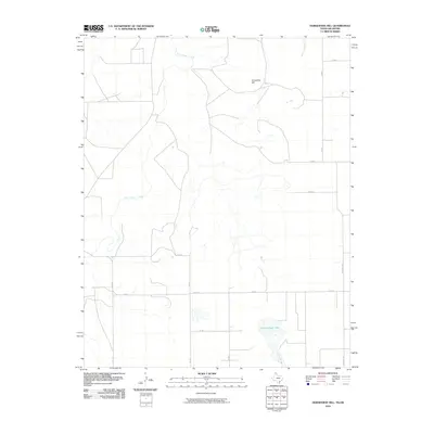 2010 Horseshoe Hill2010 Print · USGSTexas County, Oklahoma, at the start of the 2010s reveals a high plains landscape defined by its vital water sources and ranching roads. Researchers can trace the drainage of Palo Duro Creek and locate landmarks like Horseshoe Hill and Peckenpaugh Lake.
 - 2010 Map of Waka, 2010 Print
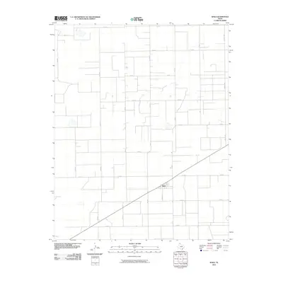 2010 Waka2010 Print · USGSWaka and the surrounding High Plains of Ochiltree County are captured here in the early twenty-first century, showing a landscape defined by industrial-scale agriculture. Researchers can trace the town's layout at Greever St and the expansive rural road network along Farm Rd 1267 and Co Rd J.
 - 2010 Map of Waka SW, 2010 Print
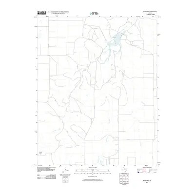 2010 Waka SW2010 Print · USGSHansford County in the Texas Panhandle remains a landscape of wide-open agricultural sections and deep prairie draws in the early twenty-first century. Researchers can trace the path of Palo Duro Creek and Horse Creek as they wind through a grid of rural routes like Fm 760.
 - 2010 Map of Phillips Camp, 2010 Print
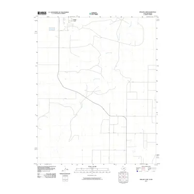 2010 Phillips Camp2010 Print · USGSHansford County ranching country and the winding banks of Coldwater Creek are shown here in the early twenty-first century. Researchers can trace the rural road network and identify modern industrial sites like Phillips Camp or the routes along Co Rd F.
 - 2010 Map of Spearman SE, 2010 Print
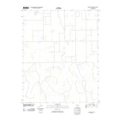 2010 Spearman SE2010 Print · USGSHutchinson County at the turn of the decade showcases the grid-like expansion of Texas Panhandle ranching and transport. Researchers can trace local drainage patterns along Pats Creek and follow early road corridors like Brainard Rd and Fm 281.
 - 2010 Map of Spearman NE, 2010 Print
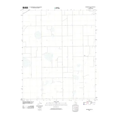 2010 Spearman NE2010 Print · USGSOchiltree County in the Texas Panhandle is captured here during the first decade of the millennium, showing a vast agricultural grid. Researchers can locate the Black Cemetery or trace travel routes along Fm 759 and Co Rd 30.
 - 2010 Map of Holt, 2010 Print
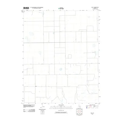 2010 Holt2010 Print · USGSThe rural settlement of Holt and the surrounding High Plains are captured here in the early twenty-first century. Researchers can trace the path of Adobe Creek and Johns Creek through the prairie landscape alongside family-named routes like Co Rd A.
 - 2010 Map of Spearman, 2010 Print
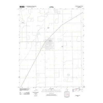 2010 Spearman2010 Print · USGSHansford County in the Texas Panhandle is captured here at a time when energy and agriculture shaped the local landscape. Researchers can trace the layout of Spearman and locate nearby landmarks such as Horse Creek and the Spearman Gas and Oil Field.
 - 2010 Map of Hansford, 2010 Print
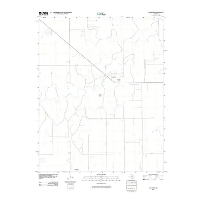 2010 Hansford2010 Print · USGSThe northern Texas Panhandle at the start of the decade reveals a landscape where energy production meets traditional ranching along the banks of Palo Duro Creek. Genealogists and local historians can trace family ties at the Hansford Cemetery or locate the rural settlement of McKibben.
 - 2010 Map of Hannas Draw West, 2010 Print
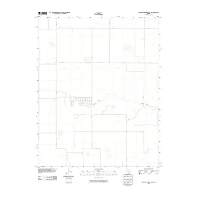 2010 Hannas Draw West2010 Print · USGSThe Texas Panhandle at the start of the 2010s shows a landscape defined by an expansive grid of rural roads and seasonal watercourses. Genealogists and land historians can trace the paths of Hannas Draw and locate properties along Farm Rd 1573 or Co Rd 7.
 - 2010 Map of Capps Switch SE, 2010 Print
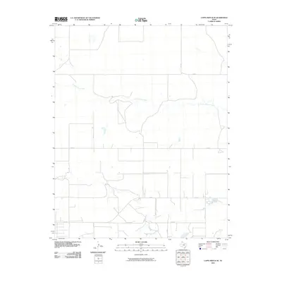 2010 Capps Switch SE2010 Print · USGSThe Texas Panhandle plains are mapped here in the early twenty-first century, showing the intersection of ranch roads and natural drainages. Researchers can trace the path of North Palo Duro Creek or locate rural properties along Fm 281 and Co Rd 7.
 - 2010 Map of Hannas Draw East, 2010 Print
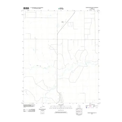 2010 Hannas Draw East2010 Print · USGSHansford County agricultural land and local drainage systems are documented here during the early twenty-first century. Researchers can trace the courses of Palo Duro Creek and Hannas Draw alongside landmarks like the Gruver Municipal Airport.
 - 2010 Map of Bernstein, 2010 Print
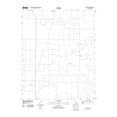 2010 Bernstein2010 Print · USGSSpanning the Texas and Oklahoma borderlands in the early 21st century, this survey documents the rural agricultural heart of Hansford County. Genealogists and local historians can trace the creek-side landscape near Bernstein and Hitchland, including features like Collier Lake and Hackberry Creek.
 - 2010 Map of Hansford Camp, 2010 Print
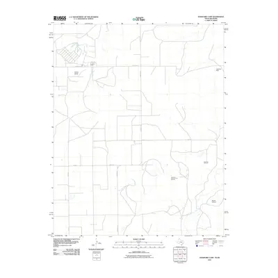 2010 Hansford Camp2010 Print · USGSThe Oklahoma Panhandle is captured in the early 21st century, showing a landscape defined by cattle country and energy production. Genealogists and researchers can locate New Hope Cemetery and trace the extensive Hitchland Gas and Oil Field near Hansford Camp.
 - 2010 Map of Kimball, 2010 Print
 2010 Kimball2010 Print · USGSHansford County, Texas, reveals a landscape of industrial energy and agricultural resilience during the early twenty-first century. Researchers can locate the Gruver Cemetery, trace the limits of the Shapley Gas and Oil Field, and see the footprint of Kimball.
 - 2012 Map of Hannas Draw East, 2012 Print
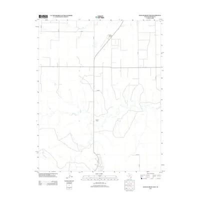 2012 Hannas Draw East2012 Print · USGSHansford County as it appeared in the early 2010s shows a landscape of systematic agriculture and rural aviation. Researchers can trace the drainage of Hannas Draw and locate local landmarks like the Gruver Municipal Airport.
 - 2012 Map of Gruver, 2012 Print
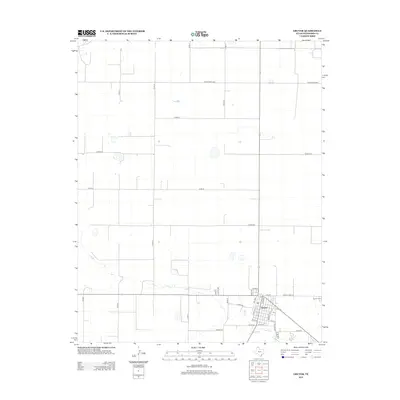 2012 Gruver2012 Print · USGSThe Texas Panhandle community of Gruver is shown in the early twenty-first century as a methodical grid of streets and agricultural section lines. Genealogists and local historians can trace family locations near Gruver Cem or follow old routes like Ranch Road 2535.
 - 2012 Map of Morse SE, 2012 Print
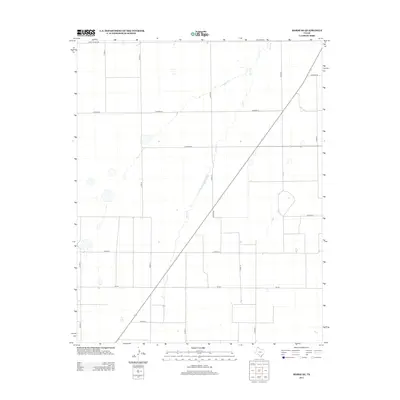 2012 Morse SE2012 Print · USGSHutchinson County, Texas, is captured here in the early twenty-first century, showing the intersection of Panhandle ranching life and modern road networks. Researchers can trace the path of Horse Cr or locate specific sections along FM-281 and CO ROAD BB.
 - 2012 Map of Phillips Camp, 2012 Print
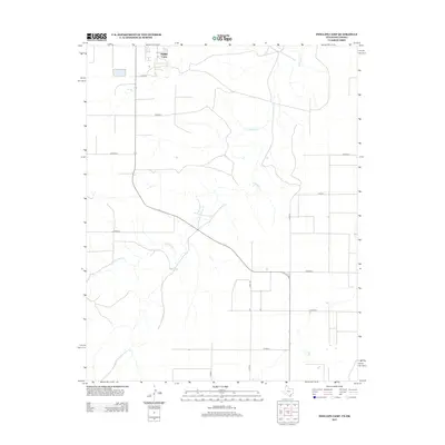 2012 Phillips Camp2012 Print · USGSHansford County near the Oklahoma border is captured here during the early twenty-first century. Researchers can trace rural property boundaries and drainage patterns along Coldwater Cr and the grid of roads surrounding Phillips Camp.
 - 2012 Map of Frisco Creek East, 2012 Print
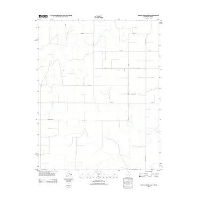 2012 Frisco Creek East2012 Print · USGSTexas County, Oklahoma, at the start of the 2010s reveals a structured landscape of remote ranching and high-plains agriculture. Trace the courses of Frisco Cr and Coldwater Cr or locate rural access points along Ranch Road 1262.
Showing maps 1-25 of 80
Top cities of Hansford County
Frequently asked questions
- What are the different types of historical maps available for Hansford County?
- What is the oldest map of Hansford County?
- Where can I purchase historical maps of Hansford County for my home or office?
- Where can I download high-res historical maps of Hansford County?
- Are there historical topographic maps available for Hansford County?
- Is there historical aerial imagery available for Hansford County?
- Where are historical maps of Hansford County sourced from?